© Chur - Die Alpenstadt - Michael Christ
© Chur - Die Alpenstadt - Michael Christ
© Chur - Die Alpenstadt - Michael Christ
© Chur - Die Alpenstadt - Michael Christ

- Brief description
-
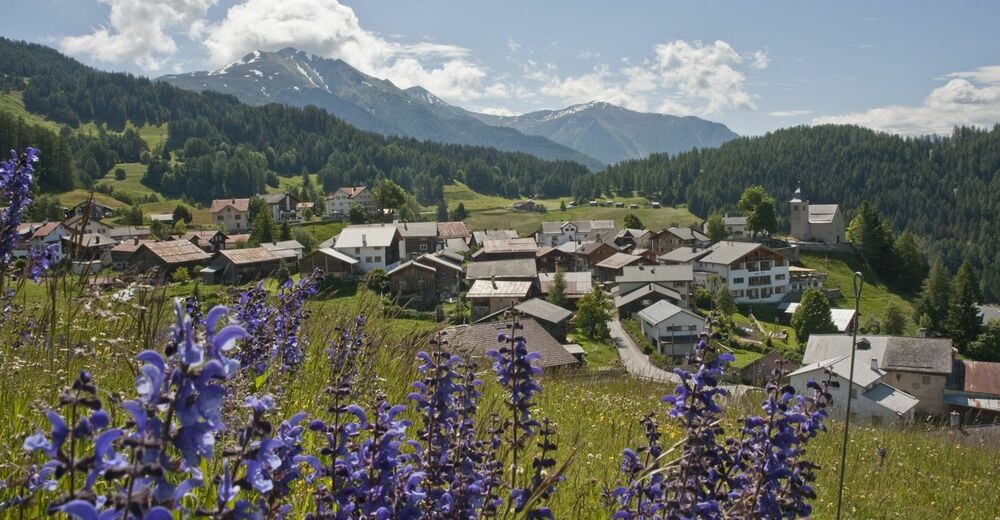
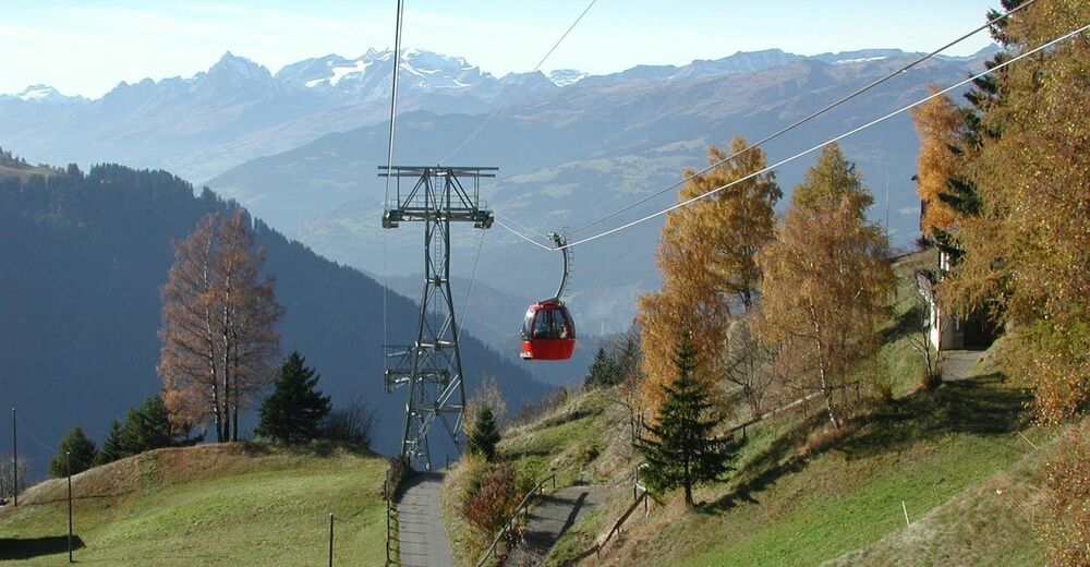
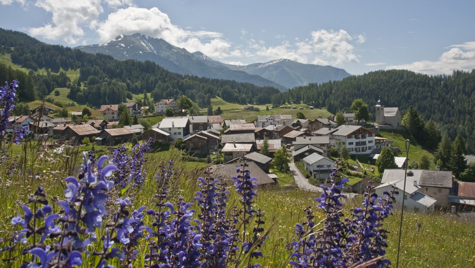
Nice round tour into the beautiful mountain village of Feldis.
- Difficulty
-
medium
- Rating
-
- Starting point
-
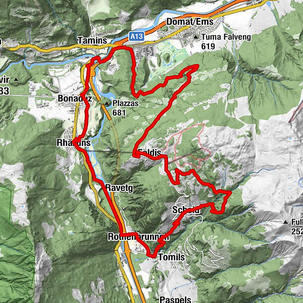
Rhäzüns
- Route
-
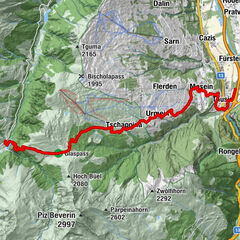
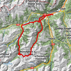
Rhäzüns (654 m)Razeno (657 m)0.1 kmMaria Himmelfahrt1.6 kmBonaduz (662 m)1.9 kmIsla3.1 kmReichenau3.7 kmBahnhöfli Reichenau4.2 kmReichenau-Tamins (604 m)4.2 kmSamun11.0 kmVerenakapelle11.1 kmCulms Bels12.0 kmFeldis/Veulden14.9 kmFeldis (1,470 m)15.2 kmRestaurant Mira-Tödi15.2 kmScheid (1,221 m)22.8 kmRothenbrunnen (625 m)26.6 kmReformierte Kirche Rothenbrunnen26.7 kmRavetg28.6 kmAlpenblick31.0 kmRestaurant Post31.0 kmRätus31.1 kmRazeno (657 m)31.2 km
- Best season
-
JanFebMarAprMayJunJulAugSepOctNovDec
- Description
-
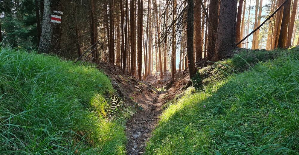
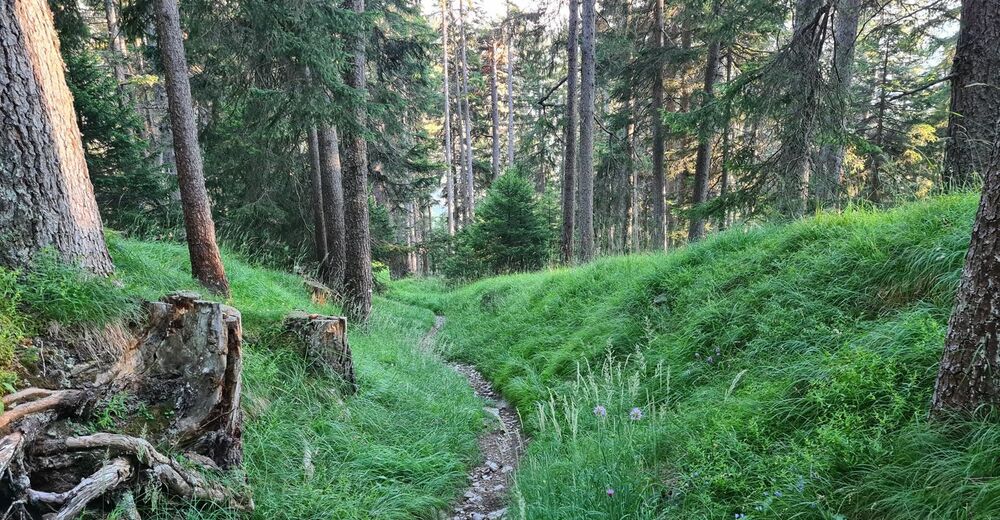
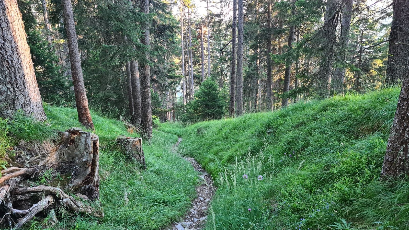
This round tour can be started in Rhäzüns, at the Reichenau-Tamins trainstation or in Rothenbrunnen. Before you arrive in Domat/Ems, follow the forest road to the right side. That's the start of the rather long and quite steep ascent to Feldis.
From Feldis the ascent continues but less steep and after a short time you will reach the highest point of the tour. From there a descent of 1'000 meters in height begins and passes Dirauls and Scheid and ends in Rothenbrunnen.
From there follow first on the road and later on the trail back to Rhäzüns.
- Highest point
- 1,638 m
- Endpoint
-
Rhäzüns
- Height profile
-
 © outdooractive.com
 - Additional information


-

-
AuthorThe tour Feldis round tour is used by outdooractive.com provided.
GPS Downloads


Surfaces
Trial
General info
Refreshment stop
A lot of view
Other tours in the regions
-
Heidiland
336
-
Chur und Rheintal
264
-
Bonaduz
123