
- Brief description
-
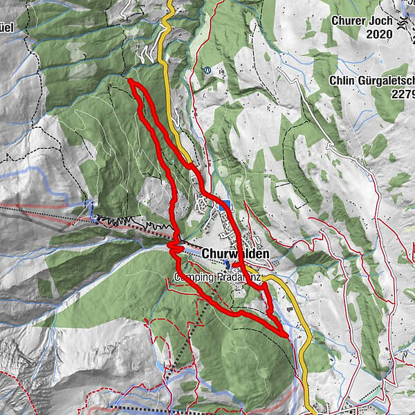
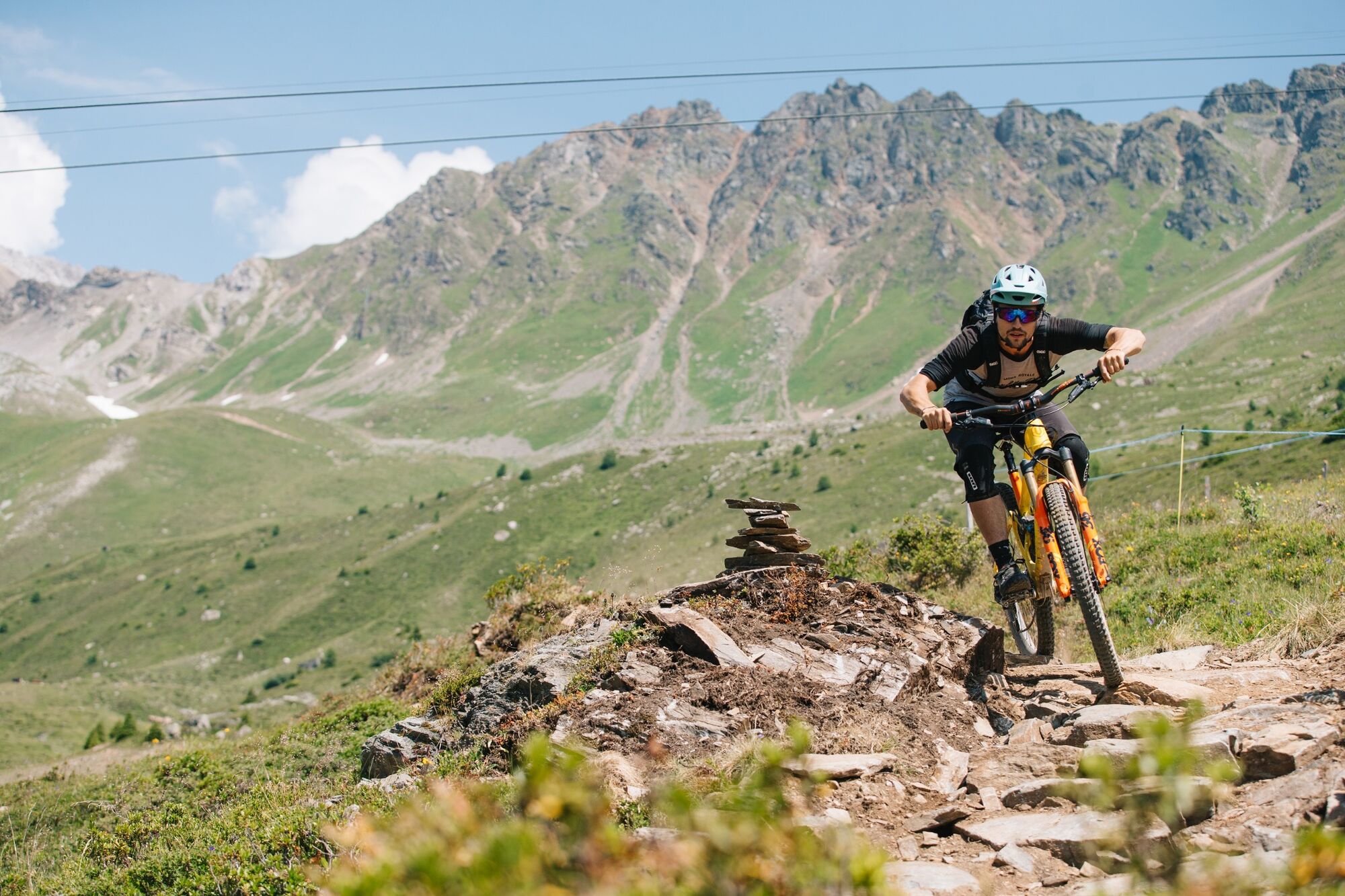
Easy tour on the western side of the valley in Churwalden. Also a suitable tour for juniors.
- Difficulty
-
medium
- Rating
-
- Starting point
-
Tourist Office Churwalden
- Route
-
Hotel Restaurant Hemmi0.1 kmChurwalden (1,240 m)0.2 kmim stall0.3 kmSt. Maria und Michael1.5 kmPradaschier (1,355 m)4.7 kmChurwalden (1,240 m)9.0 km
- Best season
-
JanFebMarAprMayJunJulAugSepOctNovDec
- Description
-
The starting point is the Churwalden Tourist Office. The tour starts with a leisurely roll-in to the monastery on the edge of the village and then always follows the signposts to the picturesque alpine village of Pradaschier with a view of Churwalden. After a short descent and crossing the Rabiosa stream, the tour leads back to Churwalden. A detour to the heated open-air swimming pool in Churwalden provides relaxation and cooling.
- Highest point
- 1,475 m
- Endpoint
-
Tourist Office Churwalden
- Height profile
-
 © outdooractive.com
 - Additional information
- Directions
-
Von Basel und Zürich - Chur-Süd (Ausfahrt Nr. 17) - Churwalden.
Von Milano - Lugano - San-Bernadino-Tunnel - Thusis - Chur (Ausfahrt Lenzerheide) - Churwalden.
- Public transportation
-
Travel by train to Chur, then transfer directly to the PostautoGraubünden buses to reach Churwalden within 25 minutes.
- Parking
-
Parking lots: Portal Churwalden, Chloster Churwalden

- Author
-
The tour 613 Churwaldner Tour is used by outdooractive.com provided.
General info
-
Heidiland
336
-
Arosa Lenzerheide
259
-
Pradaschier / Churwalden
107