© Region Surselva Tourismus
- Brief description
-
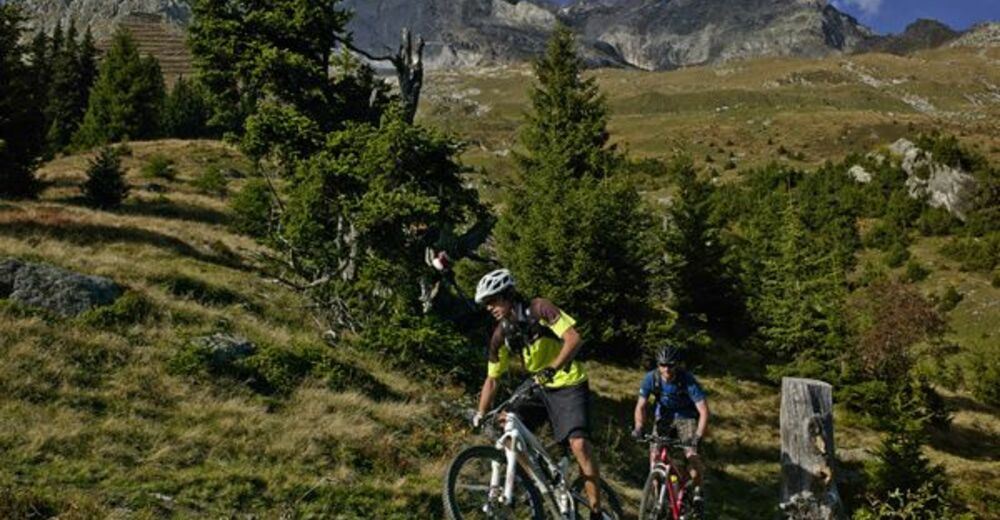
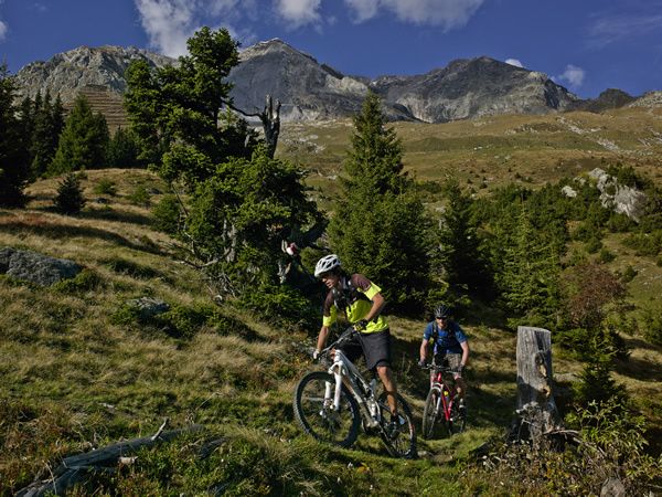
Unscheinbar und touristisch kaum erschlossen präsentieren sich die Südhänge oberhalb von Trun. Keine Bahn, kein Bergrestaurant. Und als Konsequenz daraus: keine Touristenströme.
- Difficulty
-
medium
- Rating
-
- Route
-
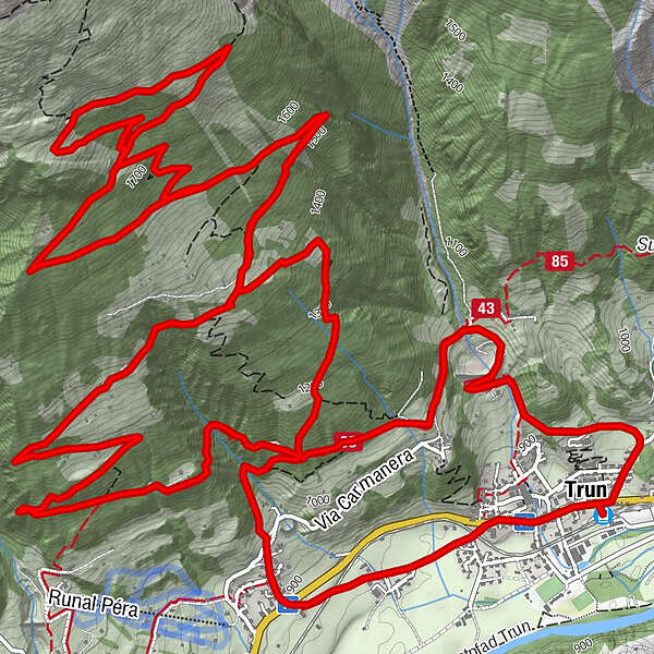
Trun (852 m)Truns (861 m)0.0 kmKapelle der heiligen St. Anna0.1 kmKatholische Kirche S. Martin17.0 kmIschi17.1 kmCasa Tödi17.1 kmTruns (861 m)17.4 kmKapelle der heiligen St. Anna17.4 kmTrun (852 m)17.5 km
- Best season
-
JanFebMarAprMayJunJulAugSepOctNovDec
- Highest point
- 1,873 m
- Endpoint
-
Bahnhof Trun
- Height profile
-
 © outdooractive.com
- Author
-
The tour Cuolms da Munt is used by outdooractive.com provided.
GPS Downloads
Surfaces
Trial
General info
A lot of view
Other tours in the regions
-
Glarnerland
341
-
Trun
160
-
Sumvitg - Rabius
38