© Surselva Tourismus AG - Markus Isenmann

© Surselva Tourismus AG - Markus Isenmann

© Surselva Tourismus AG - Markus Isenmann

© Surselva Tourismus AG - Markus Isenmann
- Brief description
-
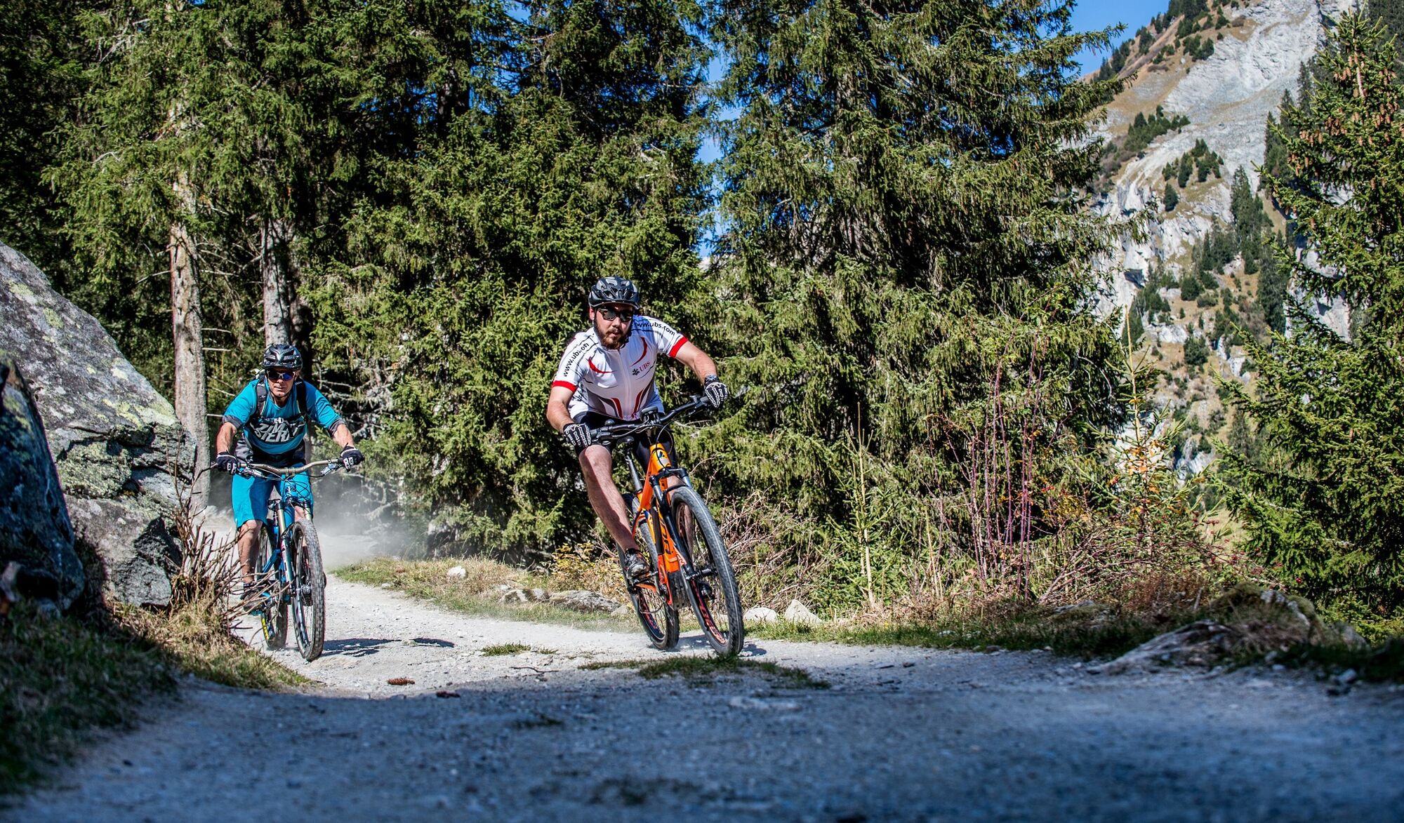
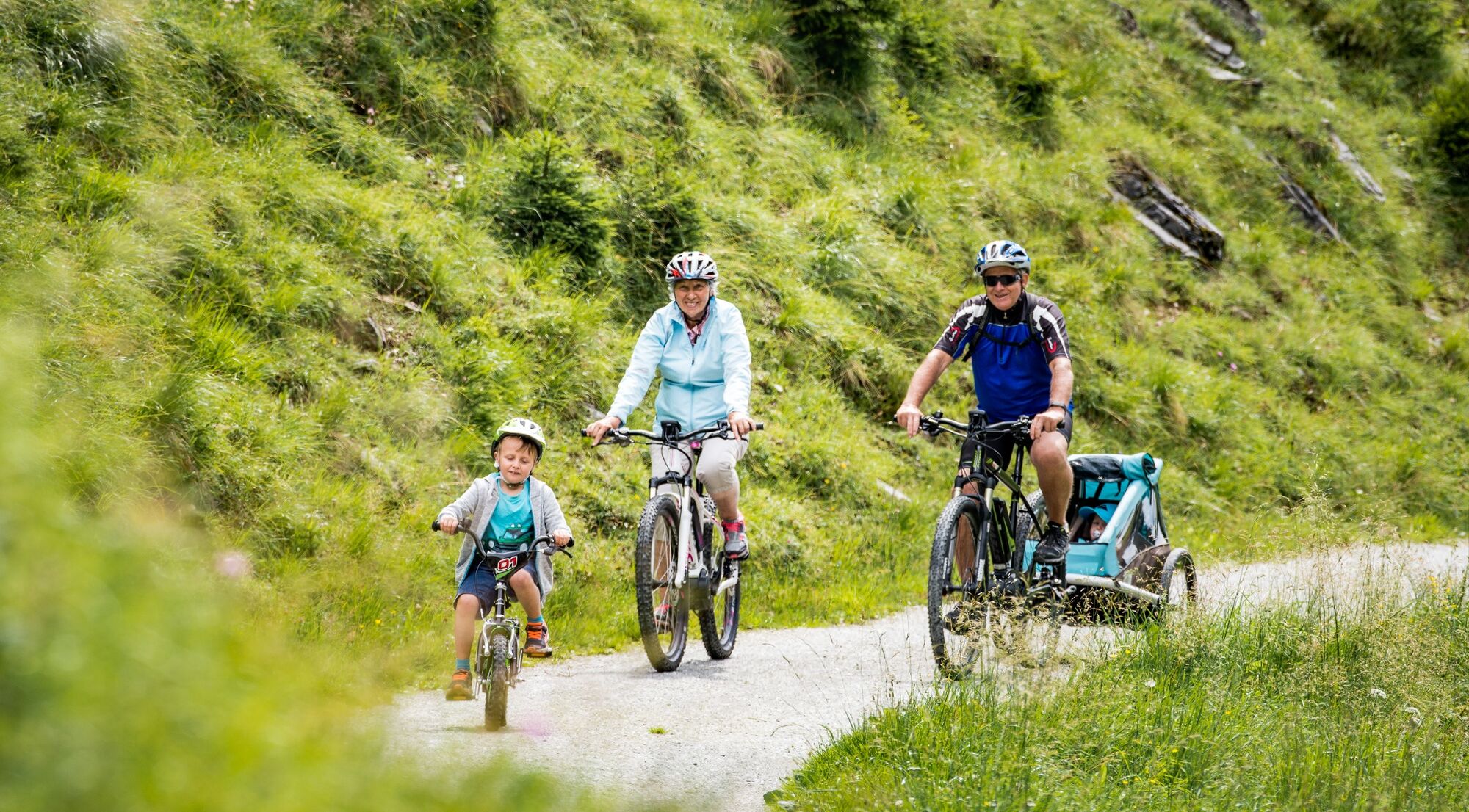
Einfache Familientour auf Nebensträsschen, vorbei an einer Feuerstelle und der coolen Felsenburg Ruina Grotta (Kropfenstein).
- Difficulty
-
easy
- Rating
-
- Starting point
-
Breil/Brigels, Pundual
- Route
-
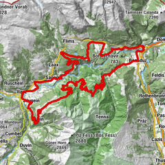
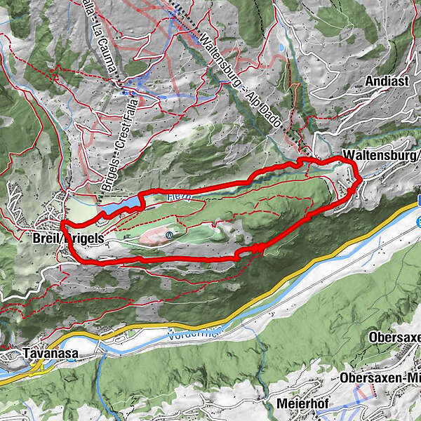
Brigels (1,280 m)0.2 kmMigliè2.2 kmDarums3.6 kmUstria Curtginet3.7 kmCurtginet (1,102 m)3.7 kmBrigels (1,280 m)9.0 kmS. Maria9.1 km
- Best season
-
JanFebMarAprMayJunJulAugSepOctNovDec
- Description
-
Pleasant, technically easy bike tour, which allows you to discover the gorgeous area around Brigels. The idyllic swimming lake, which you circle on the right side, is only minutes away from Brigels Pundual. Then you continue into the direction of Waltensburg passing through Migliè to the valley station Curtginet. Alongside the main road you ride back to the upper part of Waltensburg, where - once you arrive at the junction - you take the exit towards Brigels.
Soon you reach the fire place and shortly after the cave castle Grotta. With children it is definitely worth a visit.
In a slight ascent you ride on the natural street pasing by Munsaus to the view point Crest la Crusch. There you can see the valley plateau from Ilanz towards Disentis. The «Escherstein» is situated here as well. This stone evokes the builders of the communication road Waltensburg-Brigels, which was built in 1870: Escher von der Lindt, de Latour and Simon Bavier, first Federal Council of the canton Grisons.
From here it is not far to the initial point.
See also
Surselva Tourismus AG
Info Brigels
Casa Sentupada / Postfach 193
Via Principala 34
CH-7165 Breil/Brigels
Tel.: 0041 81 941 13 31
E-Mail: brigels@surselva.info
Internet: www.surselva.info - Directions
-
Brigels - Curtginet Waltensburg - Oberdorf Waltensburg - Casti Grotta - Brigels
- Highest point
- 1,282 m
- Endpoint
-
Breil/Brigels, Brigels Pundual
- Height profile
-
 © outdooractive.com

-

-
AuthorThe tour Castials, official trail no. 223 is used by outdooractive.com provided.
GPS Downloads


General info
Refreshment stop
Other tours in the regions