© Engadin Tourismus AG - Silvan Caderas

© Engadin Tourismus AG - Silvan Caderas


© Engadin Tourismus AG - Silvan Caderas

© Engadin Tourismus AG - Silvan Caderas
© Engadin Tourismus AG - Sils Tourismus

- Brief description
-
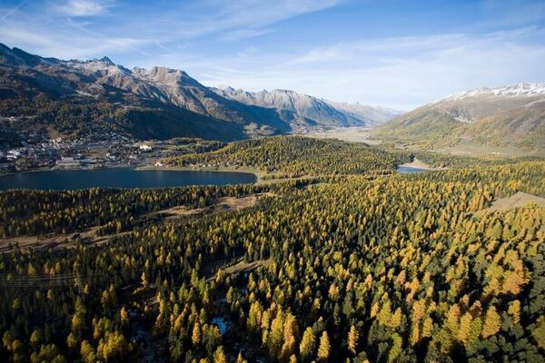
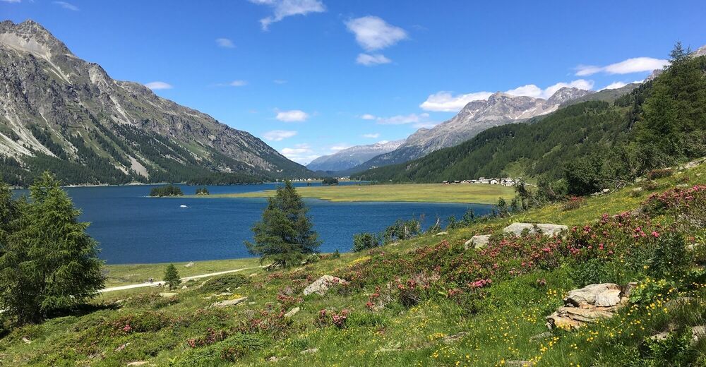
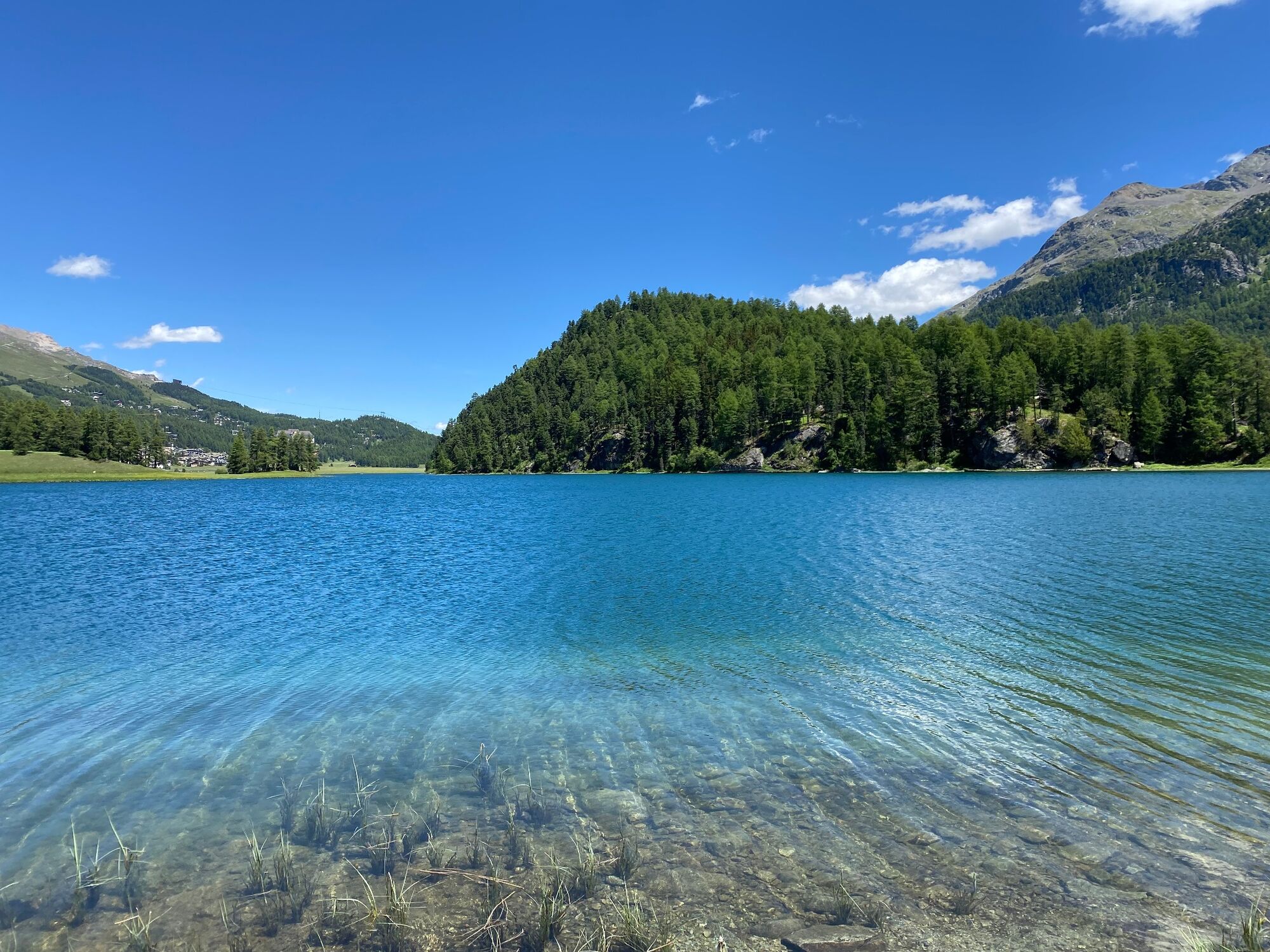
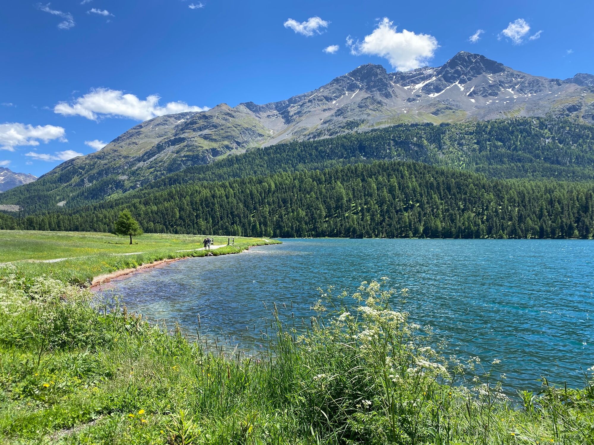
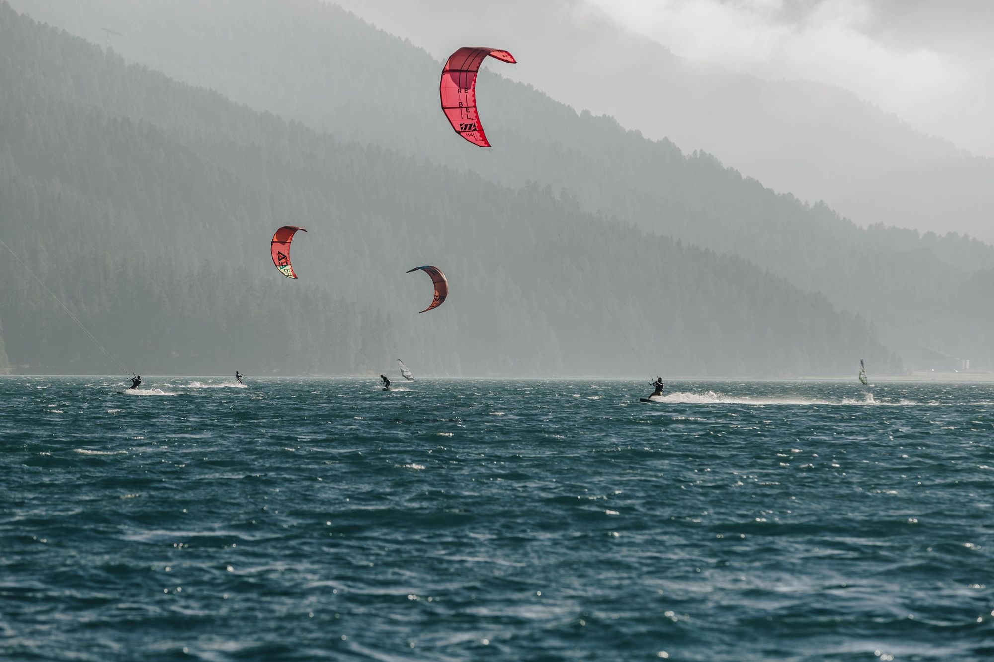
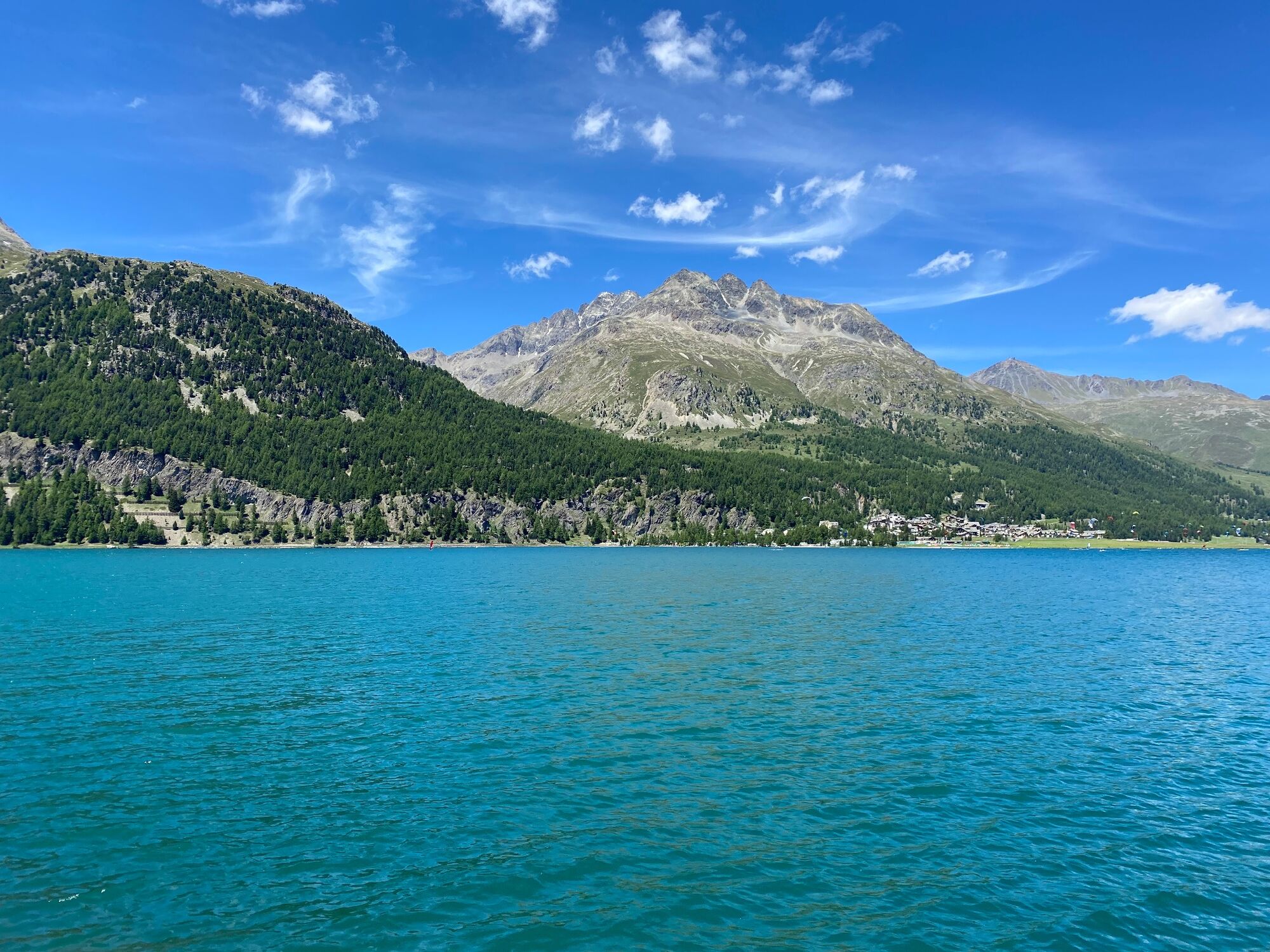
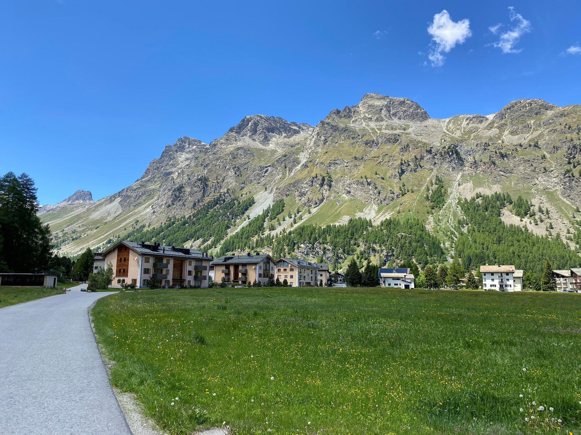
A nice circuit along the Engadin lakes via Maloja to the Cavloc lake.
- Difficulty
-
difficult
- Rating
-
- Starting point
-
St. Moritz, railway station
- Route
-
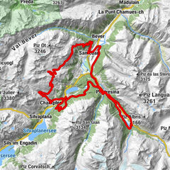
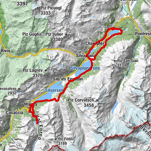
St. Moritz (1,775 m)0.1 kmSankt Moritz (1,822 m)0.7 kmSankt Moritz Bad1.8 kmPrimula3.8 kmRestaurant Talvo by Dalsass3.9 kmChampfèr (1,825 m)3.9 kmSt. Rochus4.1 kmSilvaplana (1,815 m)6.3 kmSurlej7.3 kmDavous Sellas11.7 kmSuot l'Ova11.8 kmPas-chs11.9 kmCrastas Dadour12.1 kmSils im Engadin (1,803 m)12.2 kmBar Cetto12.2 kmCrastas12.3 kmReformierte Kirche12.5 kmPetpreir15.5 kmPlan Cuncheta19.0 kmCresta19.7 kmLa Motta20.0 kmSchweizerhaus20.5 kmKirche St. Peter und Paul20.5 kmMaloja Posta20.5 kmMaloja (1,809 m)20.6 kmOrden (1,807 m)21.9 kmOrden d'Ent (1,797 m)22.2 kmCavloccio24.8 kmOrden d'Ent (1,797 m)27.2 kmLan Palü27.7 kmMaloja (1,809 m)28.6 kmLa Motta28.9 kmCresta29.1 kmPlan Cuncheta29.9 kmPetpreir33.4 kmReformierte Kirche36.4 kmSils im Engadin (1,803 m)36.7 kmCrastas36.7 kmBar Cetto36.7 kmCrastas Dadour36.8 kmPas-chs37.0 kmSuot l'Ova37.1 kmDavous Sellas37.1 kmSurlej42.7 kmLandgasthof Meierei49.6 kmSankt Moritz (1,822 m)51.2 km
- Best season
-
JanFebMarAprMayJunJulAugSepOctNovDec
- Description
-
The tour is the perfect opportunity to experience the region in all its beauty. The Engadine is often said to be at its most stunningly beautiful when the larch trees turn golden in the autumn, but it is also well worth the trip during any other season.
More information
Engadin St. Moritz Tourismus AG
Via Maistra 1
CH-7500 St. Moritz
Phone: +41 81 830 00 01
E-mail: allegra@engadin.ch
Internet: www.engadin.ch - Directions
-
St. Moritz - Champfèr - Silvaplana - Sils Maria - Vaüglia - Petpreir - Maloja - Lej da Cavloc - Maloja - Petpreir - Sils Maria - Surlej - St. Moritz Bad - Meierei - St. Moritz railway station
- Highest point
- 2,000 m
- Endpoint
-
St. Moritz railway station
- Height profile
-
 © outdooractive.com
 - Safety instructions
-
There are many hikers and bikers along the sea between Surlej and Sils. Please be considerate.
- Tips
-
A side trip to Isola is worthwhile.
Very frequented in the high season.
- Parking
-
At the St. Moritz railway station, there are some parking spaces.

- Author
-
The tour St. Moritz - Sils - Maloja - Lägh da Cavloc - St. Moritz is used by outdooractive.com provided.
GPS Downloads


General info
Refreshment stop
A lot of view
Other tours in the regions
-
Veltlin / Valtellina
204
-
Engadin St. Moritz
171
-
Sils
63