- Brief description
-
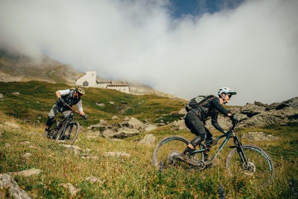
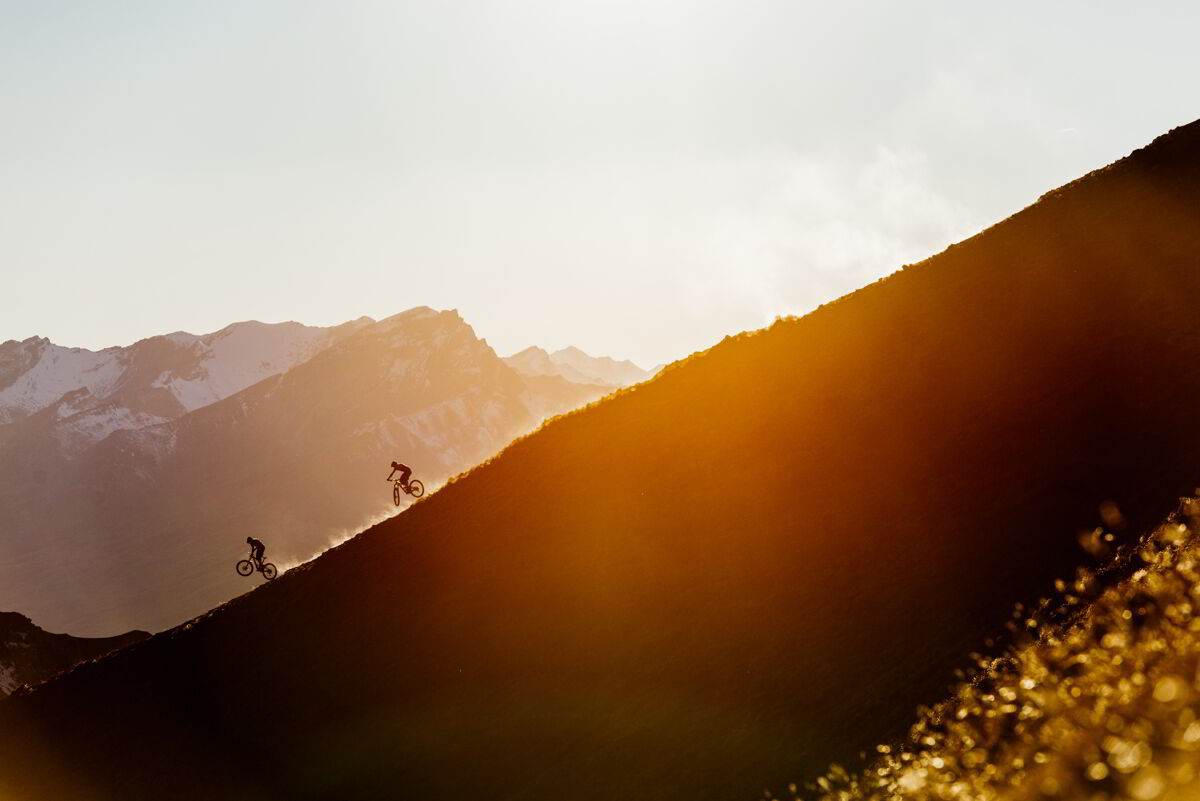
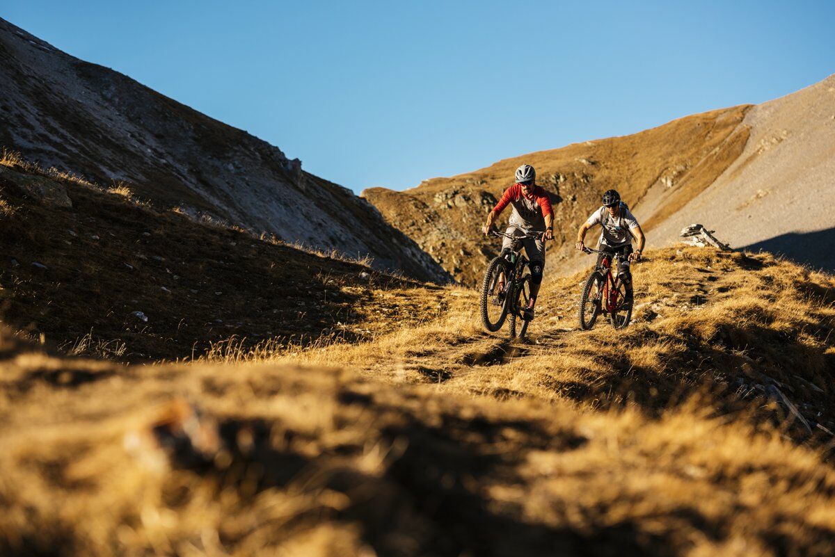
This tour is one of the highlights of the region. A challenging enduro tour with a unique nature and single trail experience.
- Difficulty
-
difficult
- Rating
-
- Starting point
-
Lenzerheide Rothorn Lift Station
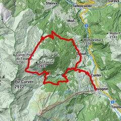
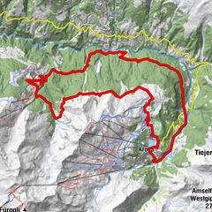
- Route
-
Scharmoin1.3 kmKugelbahn Scharmoin1.3 kmFreeflow Restaurant1.4 kmScharmoin1.4 kmStation Scharmoin (1,904 m)1.4 kmParpaner Rothorn (2,861 m)3.2 kmRothorn (2,857 m)3.2 kmRestaurant am Parpaner Rothorn3.2 kmCulmet (2,615 m)9.9 kmArosa (1,739 m)21.6 kmDorfkirche Arosa22.0 kmInnerarosa (1,820 m)23.4 kmHörnligrat23.5 kmHörnligrat (2,500 m)26.5 kmUrdenfürggli (2,562 m)28.3 kmUrdenfürggli (2,546 m)28.5 kmMotta Hütte29.9 kmMotta (2,283 m)30.0 kmMotta30.9 kmStation Scharmoin (1,904 m)34.2 kmScharmoin34.3 kmFreeflow Restaurant34.3 kmKugelbahn Scharmoin34.8 kmScharmoin35.3 km
- Best season
-
JanFebMarAprMayJunJulAugSepOctNovDec
- Description
-
The tour starts in Lenzerheide at the Rothorn station. From there, the Rothorn cable cars 1 and 2 take you comfortably to the Rothorn summit. The technically demanding single trail leads you to Alp Sanaspans. Right before reaching the Alp, the hiking trail turns left towards Culmet/Furcletta. Shortly before reaching the Alp, the hiking trail turns left towards Culmet/Furcletta. From this turn-off it's a good 1.5h to carry and push the bike. The highest point is reached on the Culmet, the view rewards the sweaty ascent. From there it's another few meters down until the last ascent to the Furceletta. This is conquered after about 20 minutes and the first stage goal is reached. The Welschtobel lies at your feet. 14km flowy, partly gravel single trail is waiting for you. The next stage finish is reached at Isla in Arosa. From there it's a leisurely ride on the road up to Arosa and to the valley station of the Hörnli Express. The train takes you comfortably to Hörnli. From there you can either take the Urdenbahn over the Urdental or take the bike on the hiking trail to Urdenfürggli. From Urdenfürggli you first take the Bike Attack route (no. 611) to Scharmoin. After the Mottahütte you turn right onto the steep, very demanding signle trail towards Parpan and Canols. Alternatively you can reach Canols via Scharmoin and Bikepark.
This tour is the perfect starting point for a two-day tour with an overnight stay in the Ramoz hut. The hut is unattended and must be reserved in advance.
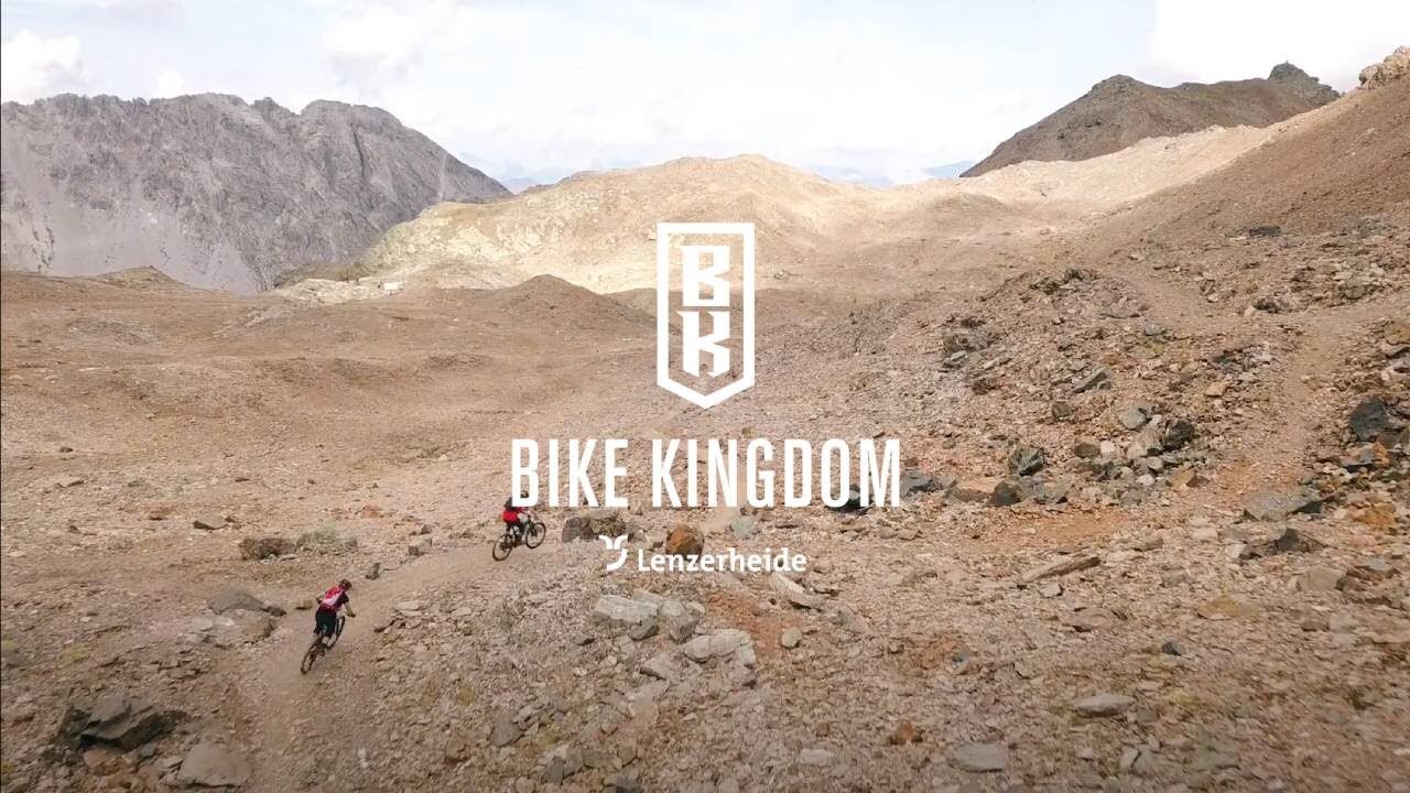
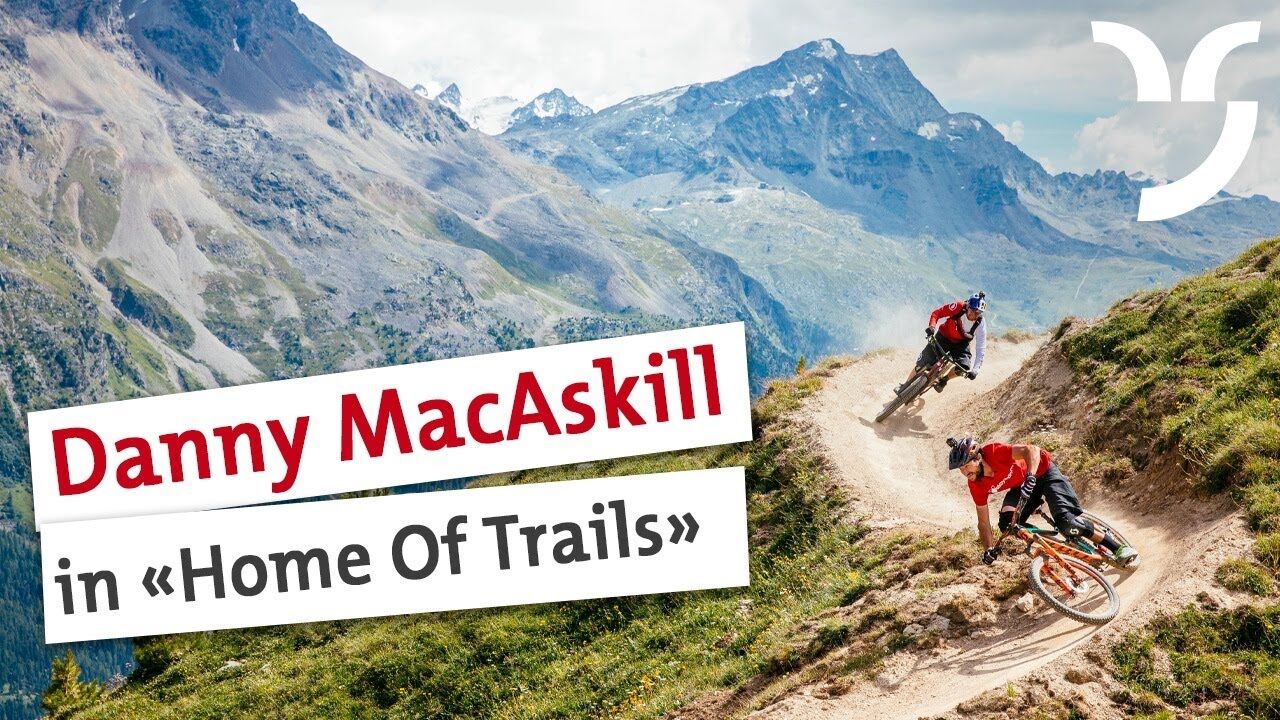
HOME OF TRAILS
By the way: Danny MacAskill and Claudio Caluori also enjoyed the trails on the Parpaner Rothorn in the video "Home of Trails".
- Directions
-
Talstation Rothorn - Rothorngipfel - Culmet - Furcletta - Arosa - Hörnli - Urdenfürggli - Scharmoin - Talstation Rothorn
- Highest point
- 2,849 m
- Endpoint
-
Lenzerheide, Talstation Rothorn
- Height profile
-
 © outdooractive.com
 - Safety instructions
-
The tour is partly in high alpine terrain, partly with danger of falling. Good driving skills are a prerequisite.
- Tips
-
Start the tour early in the mornings.
- Additional information
-
See alsoLenzerheide Marketing and Support AG
Voa Principala 80CH-7078 Lenzerheide
Phone: +41 (0)81 385 57 21
Fax: +41 (0)81 385 57 02
Web: www.lenzerheide.com
- Author
-
The tour Furcletta/Welschtobel/Ramozhütte Tour is used by outdooractive.com provided.