
- Brief description
-
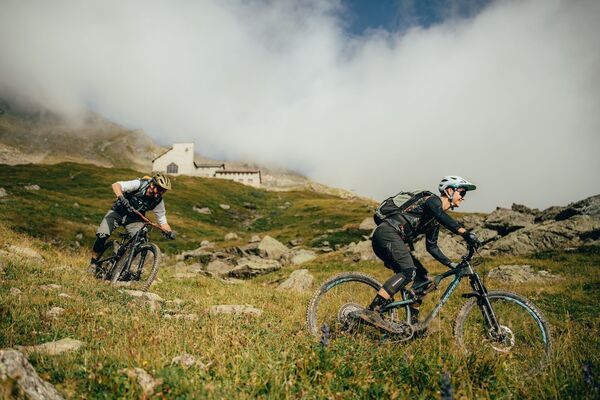
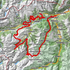
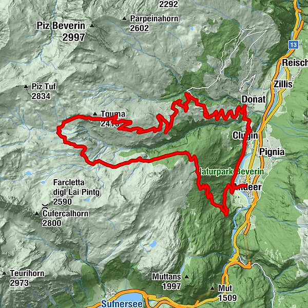
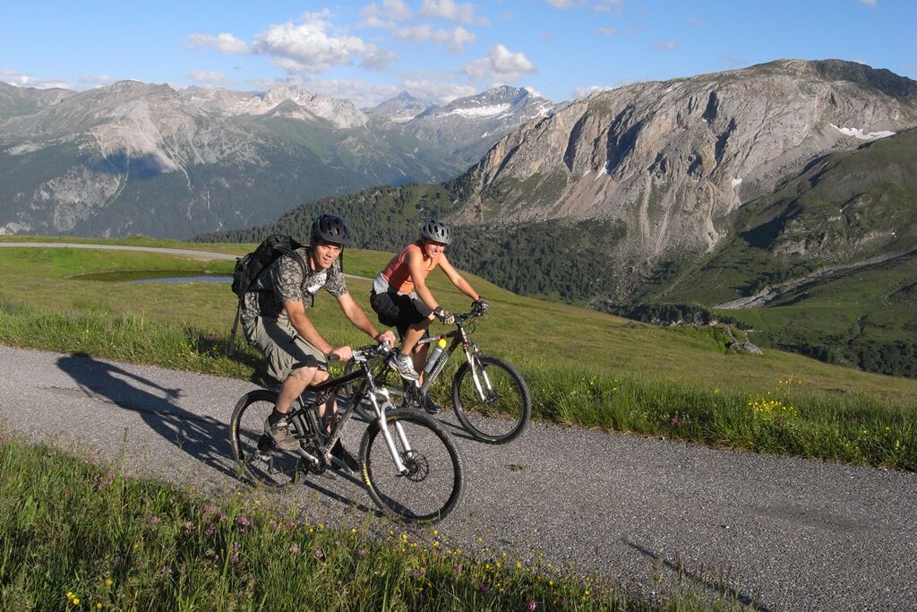
The classic in the Schamsertal valley is a must for every bike fan: from Andeer to Alp Curtginatsch.
- Difficulty
-
difficult
- Rating
-
- Starting point
-
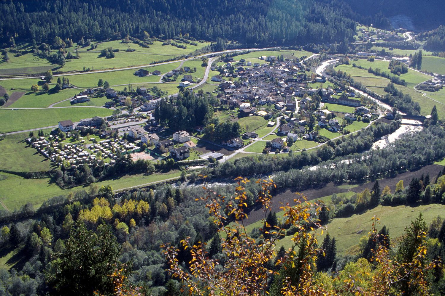
Andeer, village
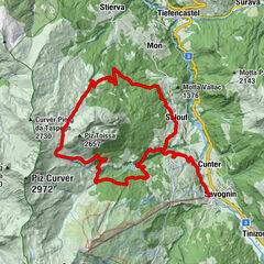
- Route
-
AndeerClugin1.9 kmTurclagn3.8 kmDonat3.9 kmCurtgegns4.7 kmCasti4.8 kmProsalur5.8 kmHotel Restaurant Capricorns7.5 kmEvangelische Kirche7.5 kmWergenstein7.5 kmSegl7.5 kmFaros7.6 kmDumagns (1,798 m)10.7 kmAlp Nurdagn18.8 kmPromischur24.8 kmAndeer30.9 km
- Best season
-
JanFebMarAprMayJunJulAugSepOctNovDec
- Description
-
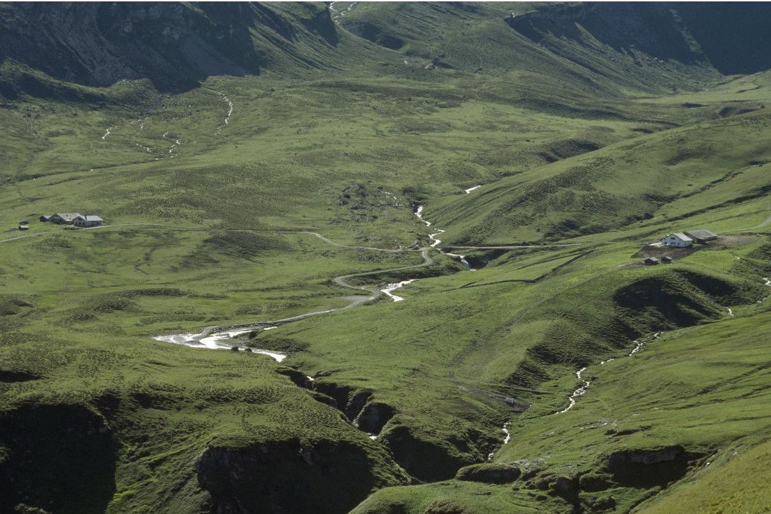
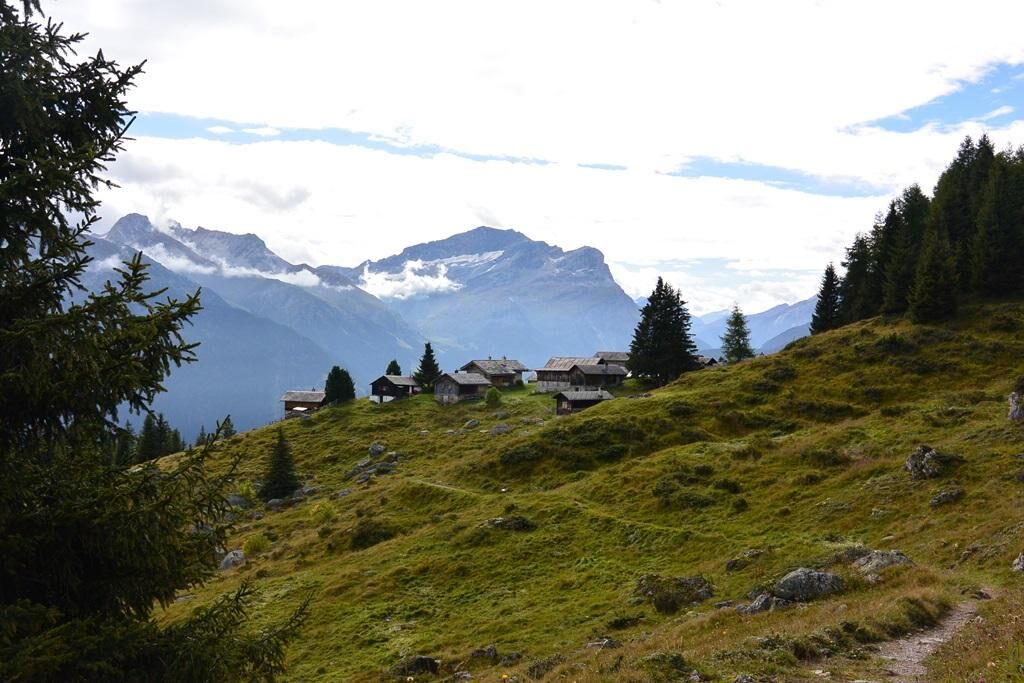
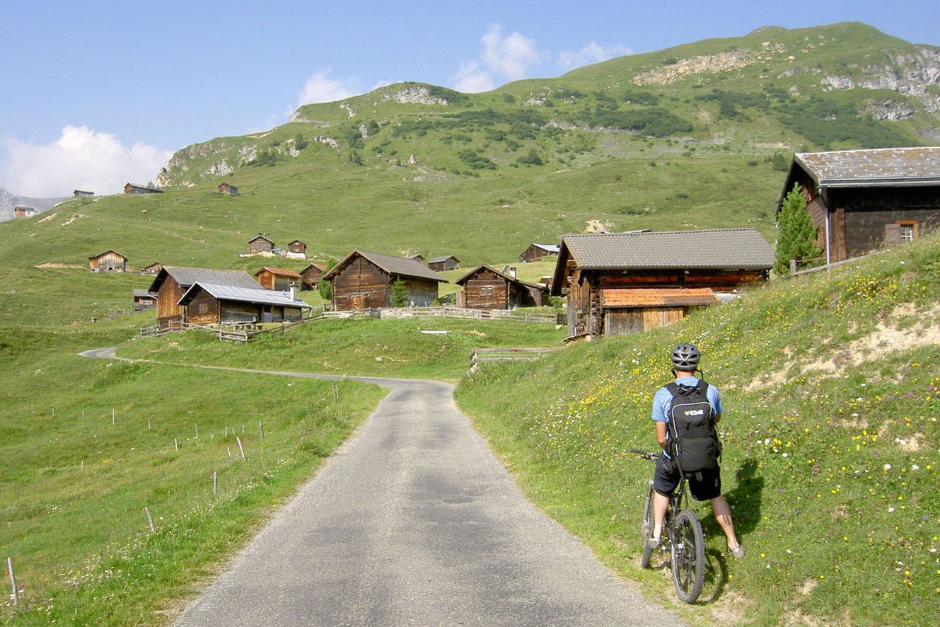
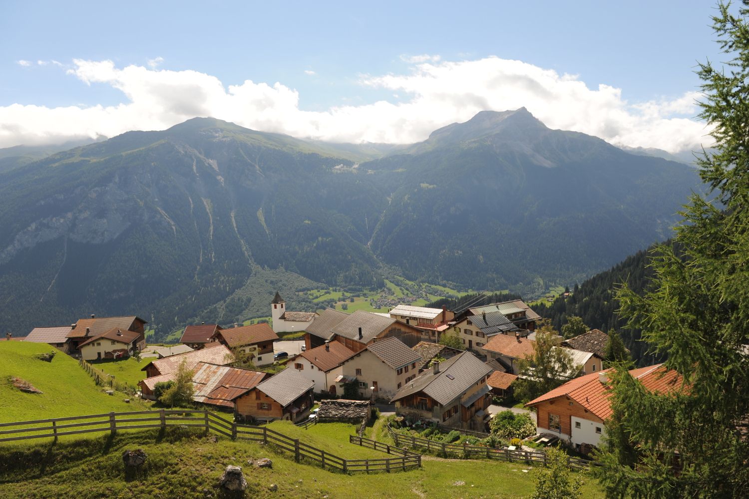
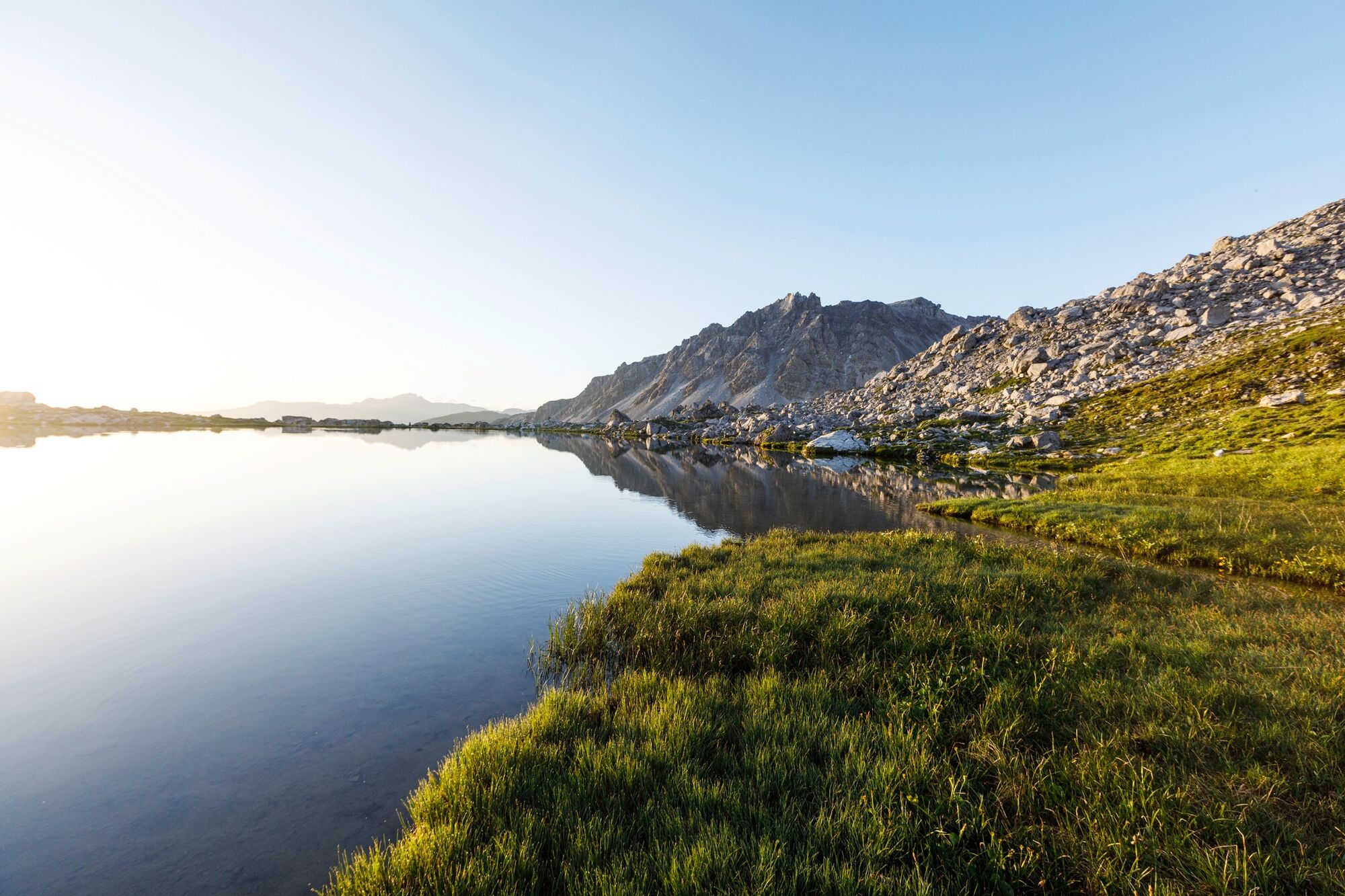
The tour starts in Andeer and leads over the Hinterrhein to the left side of the valley to the Schamserberg. The route climbs at a steady gradient via Clugin and Casti and leads along the natural road up to Wergenstein.
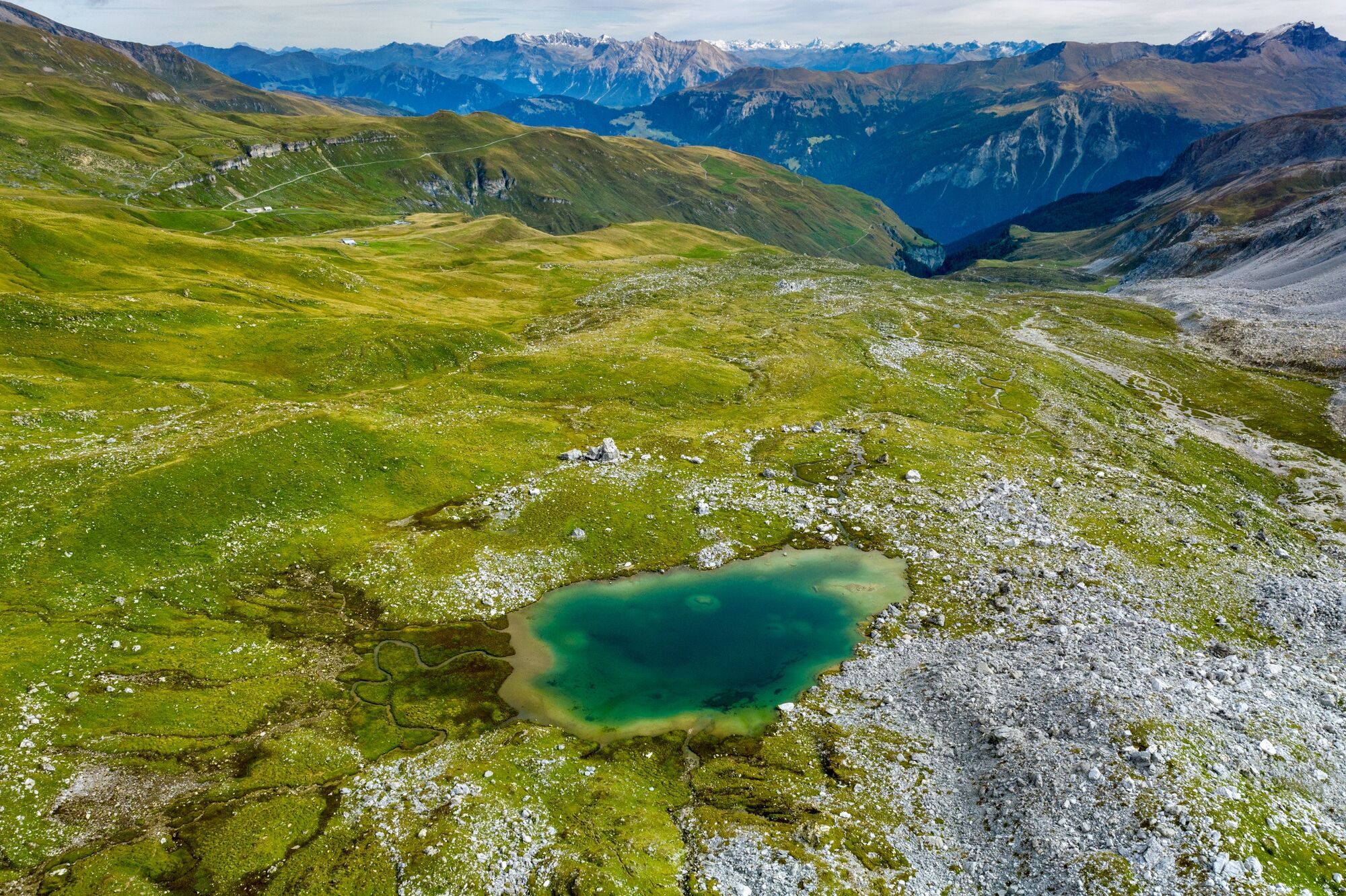
There the route leads for about 500 m on the road in the direction of Mathon, before the turn-off with a post bus stop follows to the left. Immediately afterwards, the right alpine road leads to Alp Curtginatsch at 2,272 m above sea level. A hiking trail leads first in a southerly direction to Alp Nurdagn and then turns left along the flank of Piz Vizan to Promischur.
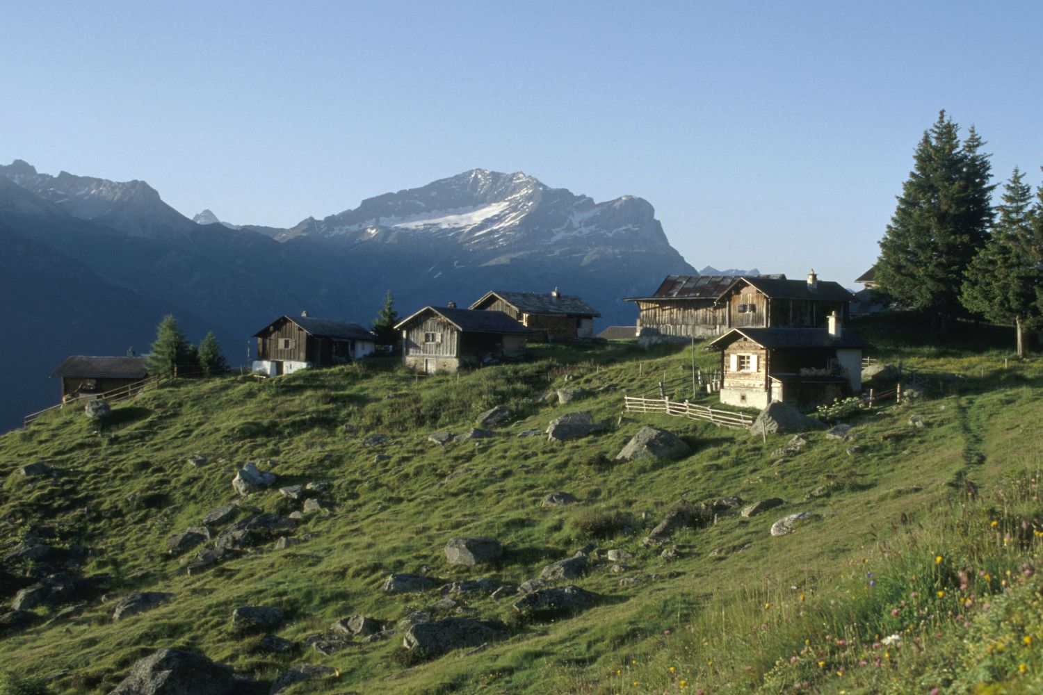
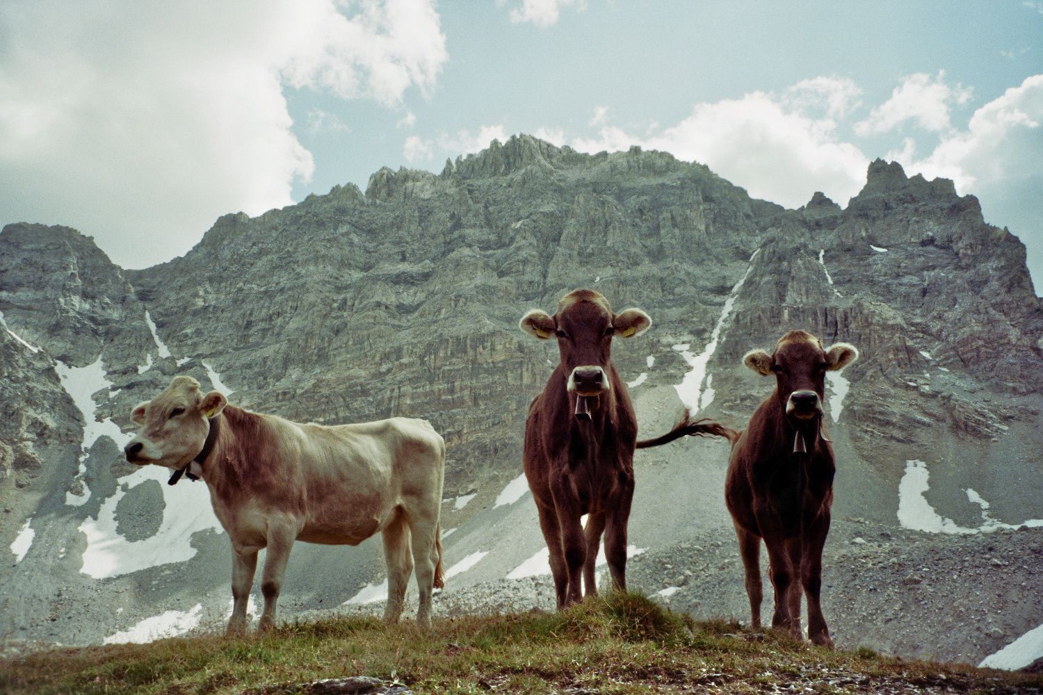
From the Promischur alpine pasture, a forest path (natural road) leads via Molas and Plan down to Andeer. Alp Curtginatsch at 2,272 m above sea level is the largest and highest cow pasture with cheese production in Europe.Any trail closures/restrictions or detours can be found here.
- Directions
-
Andeer - Clugin - Plàns - Casti - Wergenstein - Dumagns - Curtginatsch - Nurdagn - Promischur - Pt. 1640m - Plan - Mulegn - Andeer
- Highest point
- 2,343 m
- Endpoint
-
Andeer, village
- Height profile
-
 © outdooractive.com
 - Safety instructions
-
Challenging tour with single-trail sections.
- Tips
-
A stop at the Alp Nurdagn alpine restaurant is worthwhile. You can find more information about Alp Nurdagn here.
- Additional information
- Directions
-
By car, you can reach Andeer from the north on the A13 via Thusis. After the Viamala Gorge, take the Zillis-Andeer exit and after about 4 km of local road you will arrive in Andeer.From the south, take the A13 from Bellinzona in the direction of Splügen. Then follow several tunnels before you reach the Andeer exit.Plan your journey with the Google route planner.
- Public transportation
-
Andeer can be reached by PostBus. For more information and timetables, visit www.sbb.ch.
- Parking
-
Free public parking at the Andeer mineral baths (Google Maps location).


- Author
-
The tour Alp Anarosa Bike is used by outdooractive.com provided.


Surfaces
General info
-
Viamala
250
-
Val Schons
27