- Brief description
-
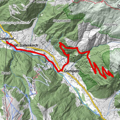
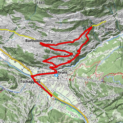
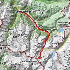
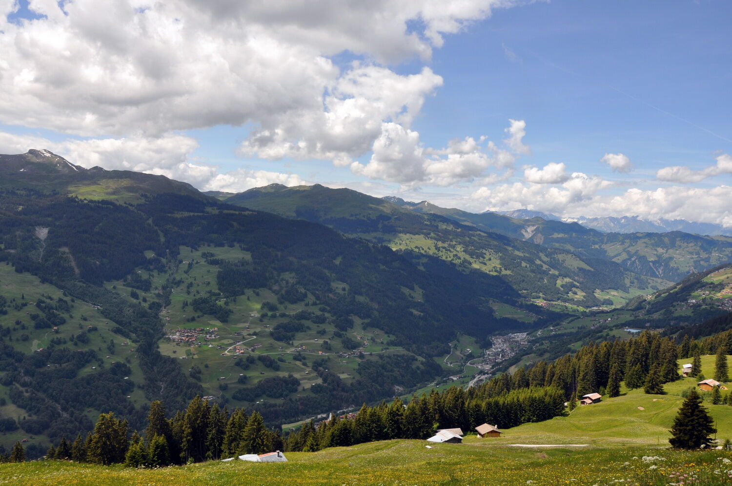
The tour up on Alp Meder was long regarded as something of an insider's tip in the Mittelprättigau valley. It runs through an unspoilt region that boasts wonderful panoramic views. And even though it is now officially signposted, the route has lost none o
- Difficulty
-
medium
- Rating
-
- Route
-
Reformierte Kirche0.0 kmKüblis (816 m)0.1 kmBahnhöfli Saas3.1 kmSaas im Prättigau (988 m)3.6 kmGasthaus zum Rathaus3.9 kmRiedgaden19.1 kmCanal19.2 kmTälfsch19.8 kmKüblis (816 m)20.3 kmReformierte Kirche20.7 km
- Best season
-
JanFebMarAprMayJunJulAugSepOctNovDec
- Description
-
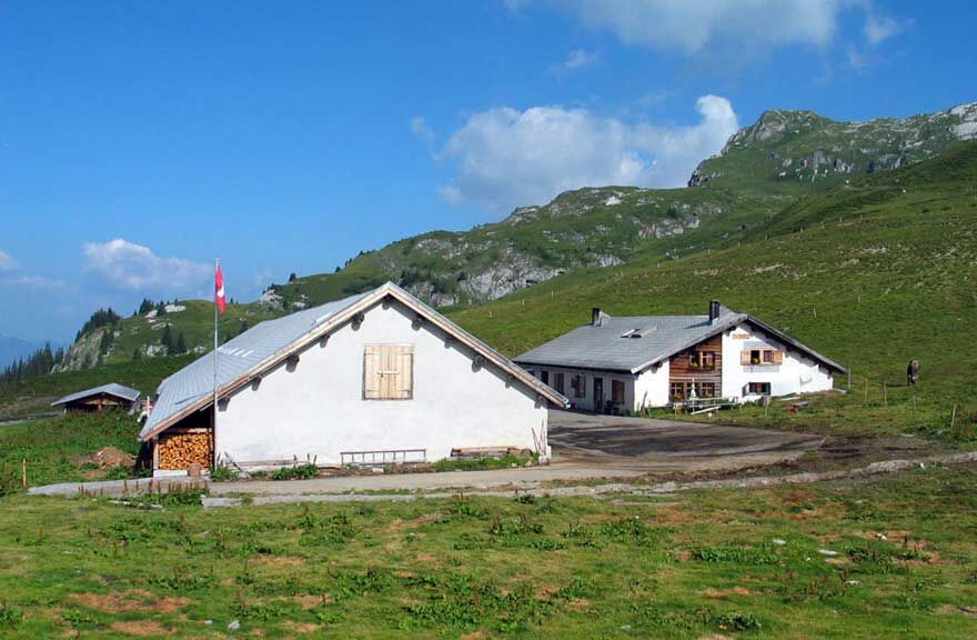
The tour begins in Küblis and follows the course of the pretty Landquart river. After passing secluded spots along the river the trail climbs along short but steep ramps up to Saas. Next up is the climb along the mountain road towards Madrisa. After some 4 km the route branches off in the direction of Oberberg. The alpine track takes us past below Zastia to the idyllic Alp Meder, at which stage we have reached the highest point on the tour. It is well worth taking a break here to cast more than a fleeting glance at the wonderful mountain panorama. Next up is the thrilling downhill run to a fast-flowing single trail to Runggalin and on to the Pläviggin lake. This reservoir supplies Küblis with water via its headrace tunnel so the power plant in the valley is able to generate electricity. The downhill run to Küblis is not quite as precipitous as the headrace tunnel itself. From the lake of Plävigin to Tälfsch and on down to Küblis the trail is technically demanding but relatively straightforward; nonetheless it does get quite steep. So plenty of concentration is once again required. Indeed, it is at speed that we finally reach Küblis.
- Highest point
- 1,948 m
- Endpoint
-
Küblis
- Height profile
-
 © outdooractive.com


- Author
-
The tour 327 Alp Meder is used by outdooractive.com provided.


General info
-
Prättigau
267
-
Saas im Prättigau
64