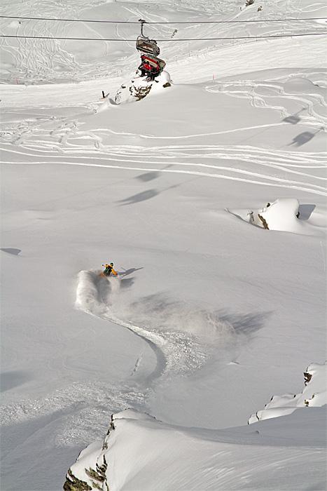
© freeskiers.net - Knut Pohl

- Difficulty
-
difficult
- Rating
-
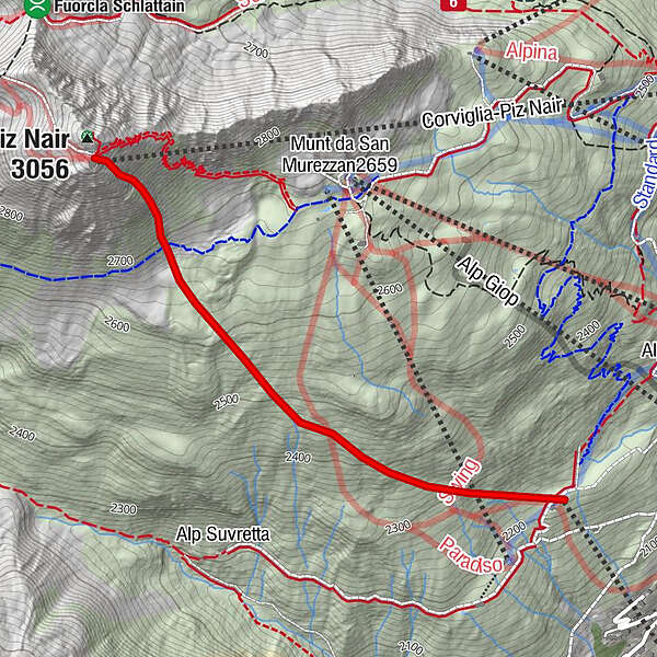
- Route
-
Trutz2.4 km
- Best season
-
AugSepOctNovDecJanFebMarAprMayJunJul
- Highest point
- 2,983 m
- Endpoint
-
Piste nach El Paradiso
- Height profile
-
 © outdooractive.com
- Author
-
The tour Piz Nair Ostflanke is used by outdooractive.com provided.