Three-country bike path - Beetween nature and culture


- Brief description
-
Crossing borders has never been so easy! Whether you are a great sportsman, or an adept of the stroll, come to tease the borders with your own way, and according to your level!
- Difficulty
-
difficult
- Rating
-
- Starting point
-
Any point on the route can be used as a starting and ending point (circuit)
- Route
-
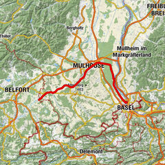
MülhausenIllzach4.5 kmInsel6.5 kmBaldersheim9.1 kmBrueckengarten9.3 kmBattenheim11.3 kmOttmarsheim20.8 kmHartfeld oben am Muelhauser Weg24.9 kmHôtel Restaurant de la Poste25.4 kmBanzenheim25.6 kmÉglise Saint-Michel et Saint-Sébastien25.7 kmBeim Gallsteinacker27.6 kmEichwald27.7 kmNeuchâtel-sur-le-Rhin (230 m)28.9 kmBad Bellingen39.4 kmPrälat-Hebel-Kirche43.1 kmHeilig-Kreuz-Kapelle43.1 kmSchliengen (250 m)43.4 kmKrone46.4 kmLiel46.6 kmAugstuden49.1 kmRiedlingen50.3 kmGasthaus Sonne50.3 kmBohl50.6 kmAllmendzweig51.4 kmKandern51.9 kmKandern (352 m)52.1 kmRechtenmatt53.0 kmUntere Au53.3 kmWallenbrunnen54.0 kmHammermatt54.9 kmHammerstein55.3 kmLandgasthof Krone56.2 kmWollbach57.9 kmSchallbach60.6 kmAm Weißen Stein61.4 kmBruckrainhof - Vesperstube, Cafe, Hofladen62.2 kmSonne62.7 kmRümmingen62.9 kmRöttler Kirche65.1 kmRötteln65.2 kmRöttelnweiler65.8 kmLörrach (294 m)66.9 kmBrombach69.0 kmOttwangen73.8 kmNiedereichsel77.3 kmZum Engel80.0 kmDegerfelden80.1 kmWarmbach82.8 kmRheinfelden (Baden) (280 m)84.5 kmRheinfelden (274 m)85.3 kmMöhlin (308 m)89.8 kmWeidenpark90.6 kmMöhlin (310 m)90.7 kmRömisch-katholische Kirche St. Agatha94.2 kmZeiningen (342 m)94.4 kmZuzgen (377 m)97.5 kmHellikon (414 m)100.2 kmHägli103.7 kmHemmiken104.6 kmOrmalingen107.5 kmGelterkinden (404 m)109.2 kmBöckten110.3 kmRebacker111.4 kmSissach112.9 kmItingen114.7 kmSteinecht115.2 kmLausen117.2 kmPfauenhof119.1 kmLiestal (327 m)119.8 kmReformierte Kirche Liestal120.0 kmLiestal (327 m)120.4 kmKreuzboden120.9 kmFrenkendorf-Füllinsdorf (311 m)122.7 kmFrenkendorf122.8 kmHülften124.6 kmPratteln (296 m)126.3 kmRöm.-kath. Kirche126.6 kmLachmatt128.0 kmMuttenz (292 m)130.0 kmFortified Church of St. Arbogast130.3 kmRütihardhof132.6 kmMünchenstein (297 m)133.8 kmArlesheim136.7 kmReinach (303 m)137.0 kmDornach (338 m)138.4 kmMondial138.7 kmAesch (315 m)141.1 kmBrügglisgass145.2 kmEttingen (331 m)146.2 kmWitterswil (338 m)148.3 kmBättwil (360 m)149.6 kmOb dem Flühweg151.7 kmFlühweg151.7 kmLeimen152.4 kmIm Rauss153.9 kmCalvados (FGV Rodersdorf)154.2 kmRodersdorf (391 m)155.0 kmKatholische Kirche St. Laurentius155.0 kmGeberstell158.5 kmThe backstage160.8 kmCaveau du Musée Paysan160.9 kmOltingen160.9 kmLehguebel161.8 kmMoosmatten164.3 kmBuchsweiler164.8 kmDürmenach167.9 kmÉglise Saint-Georges168.5 kmRoppenzweiler169.6 kmOttermatten170.8 kmWaldighofen171.6 kmOberdorf173.1 kmÉglise Saint-Martin173.8 kmGrenzingen173.9 kmLuetzelfeld auf die Strasse174.5 kmHenflingen175.2 kmHanflaendermatten175.9 kmSchirgarten176.6 kmPrissmatten176.8 kmÉglise Sainte-Croix177.1 kmBettendorf177.3 kmKapellen Matten178.1 kmAuberge des Trois Vallées179.0 kmHirsingen179.2 kmHohrain180.3 kmBollenmuehle181.7 kmHirzbach181.8 kmCarspach184.5 kmAltkirch187.3 kmKarchelacker189.8 kmWittersdorf190.4 kmNeuematten191.4 kmWalheim192.7 kmLümschweiler194.5 kmÉglise Saint-Léger195.6 kmTagolsheim195.9 kmIllfurth197.5 kmGuinguette198.6 kmNeben dem Kanal199.8 kmIllgasse201.5 kmZillisheim201.8 kmBisgaertle202.3 kmMülhausen208.9 km
- Best season
-
JanFebMarAprMayJunJulAugSepOctNovDec
- Description
-
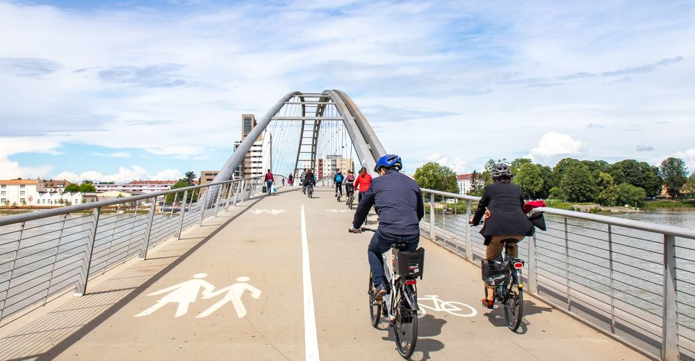
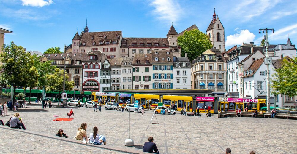
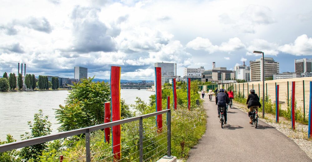
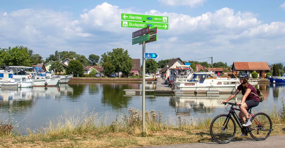
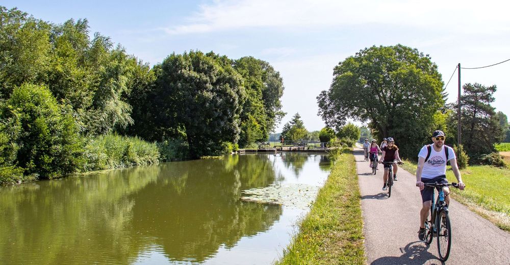
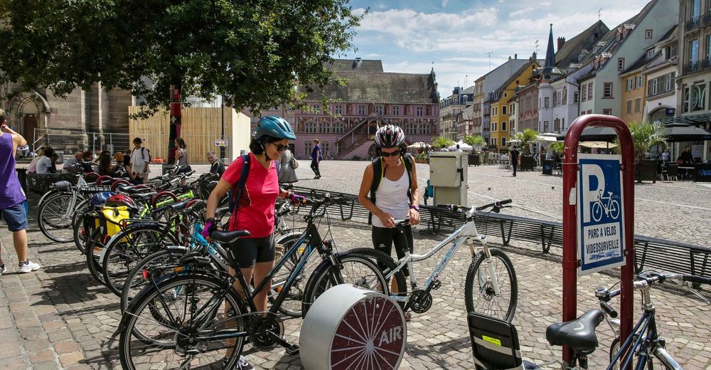
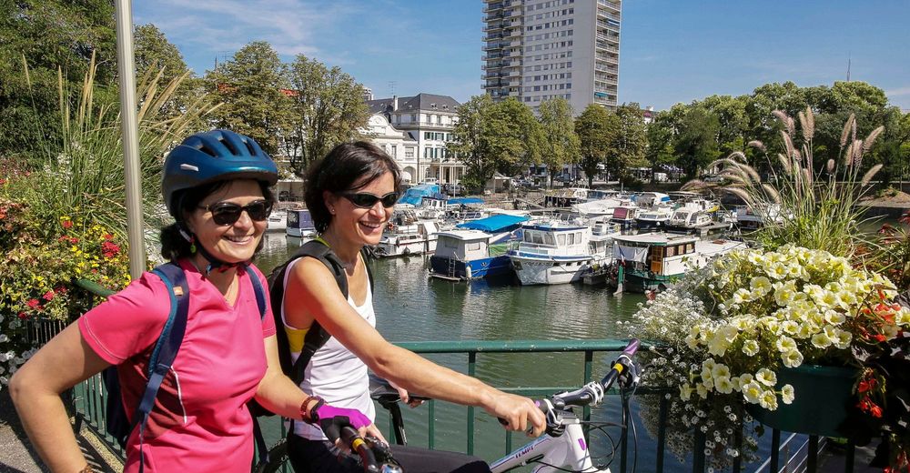
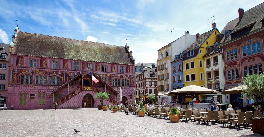
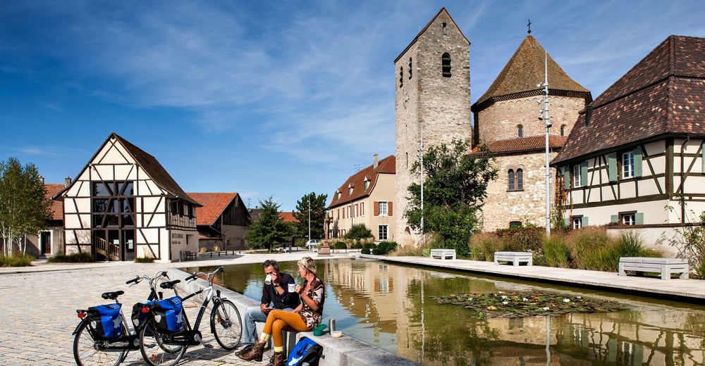
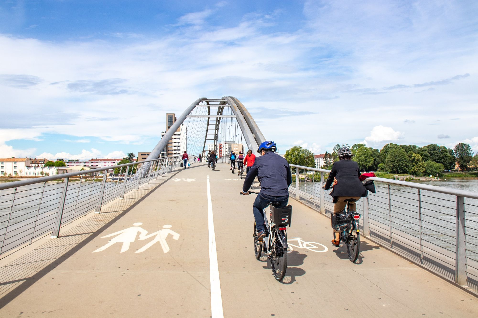
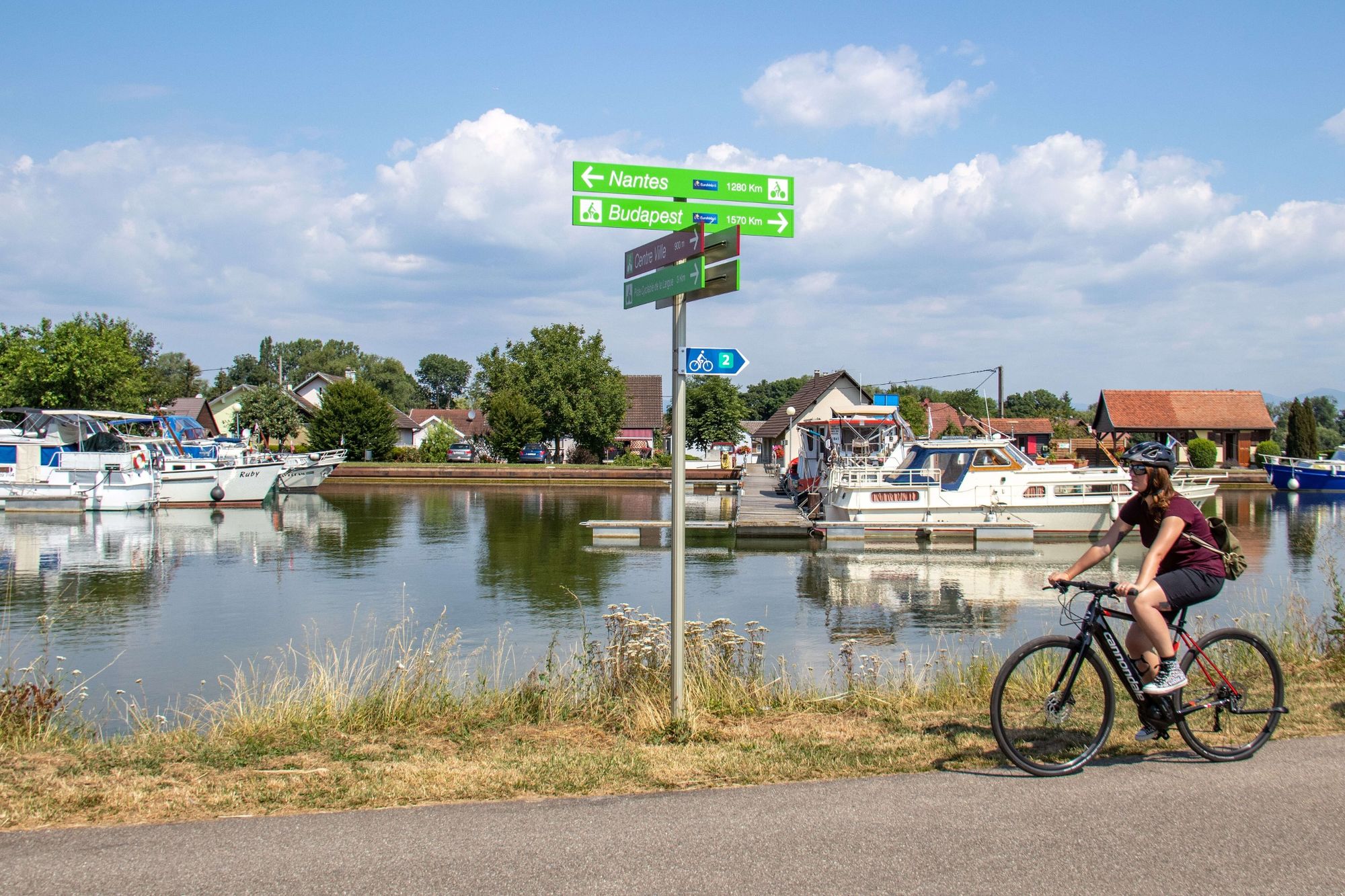
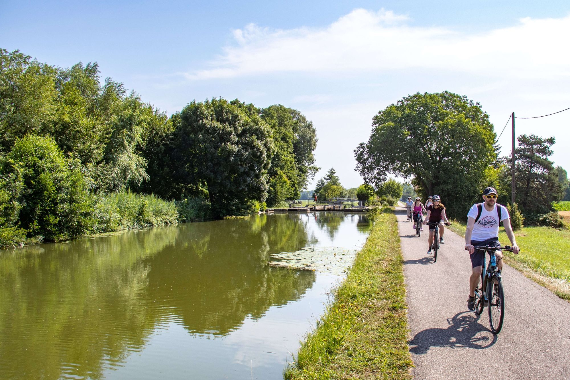
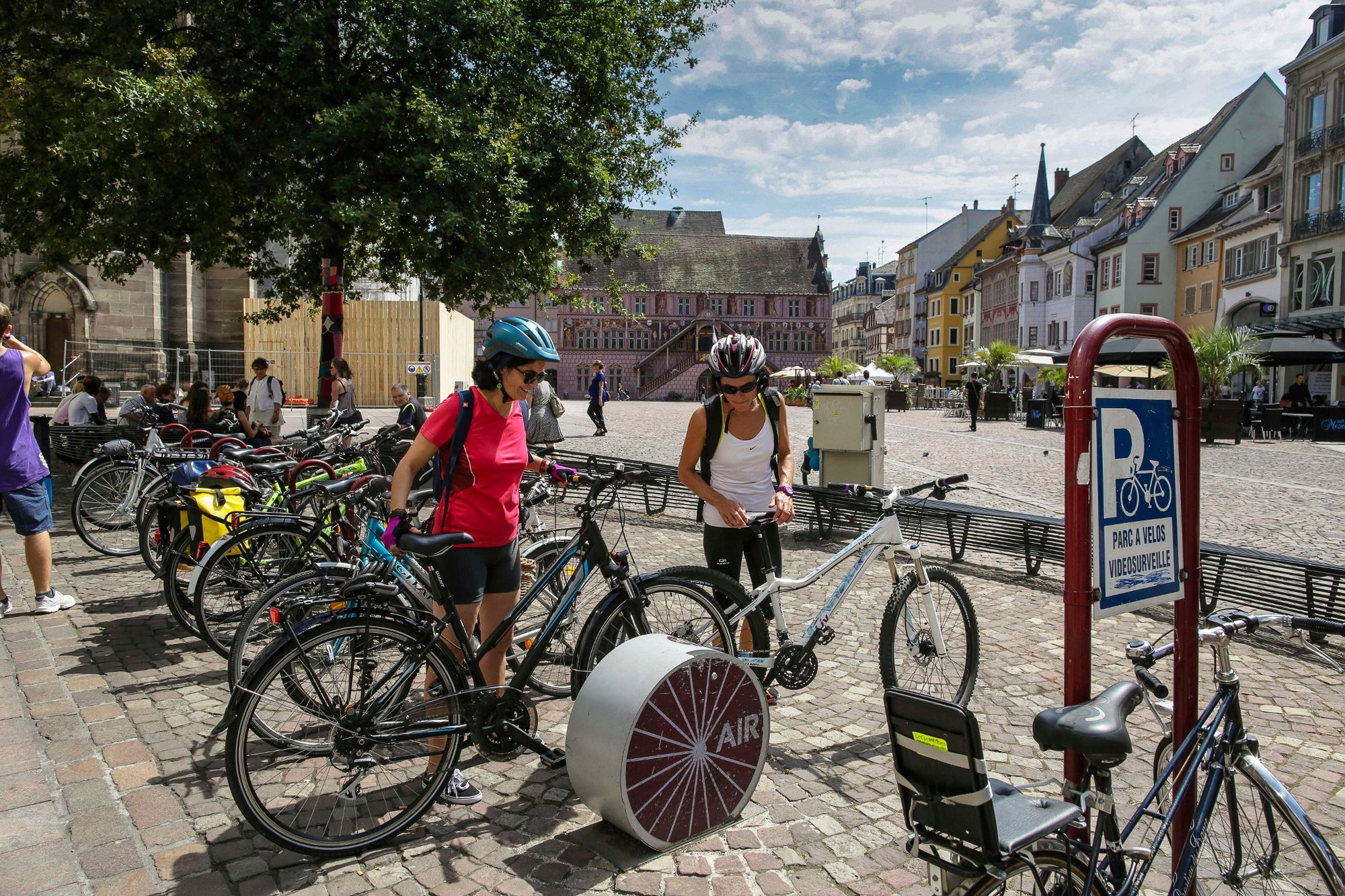
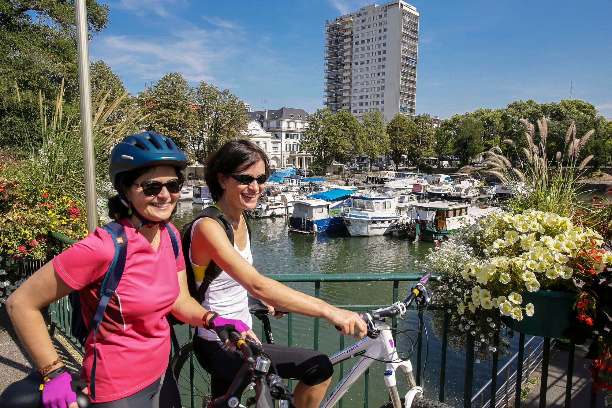
The three-country route is a must in Dreiland. Whether you are a cycling enthusiast, a day-tripper or a sports cyclist, you will appreciate this unusual route which allows you to "leapfrog" the borders of the Three Country Region.At the crossroads of all land routes since antiquity, the Dreiland is also a crossroads of waterways in the forefront of which stands its Majesty the Rhine. You can pedal quietly and safely along the old towpaths which lead you through the woods and allow you to cross part of the immense Hardt state forest, the real Rhine forest.Along the way, don't hesitate to explore the towns and villages of the three countries and meet their inhabitants. This is a unique opportunity to discover three different cultures that share a common destiny on both sides of the Rhine.
https://www.youtube.com/watch?v=b4eWAybDtLA
- Directions
-
On the German side, you can walk through the sunny hills and vineyards of the Markgräflerland, while the more adventurous can challenge the slopes of the Dinkelberg with a breathtaking view of the entire Rhine Valley.
In the Swiss Jura, there is no lack of height either, with deep forests, rural landscapes and cherry blossoms heralding spring in Aargau.
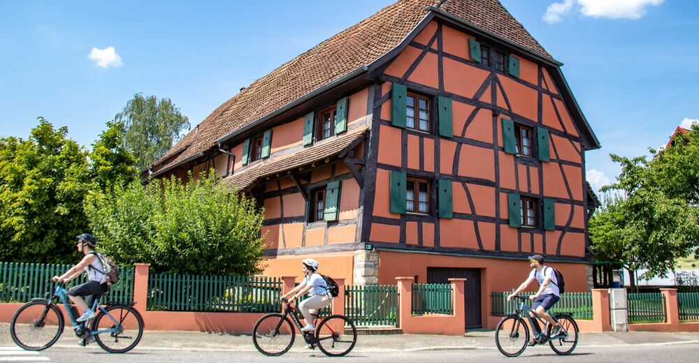
From the Swiss Jura to the Alsatian Jura, there is only one step: flowered villages with beautiful Alsatian half-timbered houses, old calvaries, typical churches, green and hilly countryside, it is all the land of the Sundgau that you take with you on your luggage rack.
At the crossroads of all the land routes since antiquity, the Dreiland is also a crossroads of waterways in the first rank of which sits its Majesty the Rhine. You can pedal quietly and safely along the old towpaths which lead you through the woods and allow you to cross part of the immense Hardt state forest, the real Rhine forest.
Along the way, don't hesitate to explore the towns and villages of the three countries and meet their inhabitants. This is a unique opportunity to discover three different cultures that share a common destiny on both sides of the Rhine
- Highest point
- 595 m
- Endpoint
-
Any point on the route can be used as a starting and ending point (circuit)
- Height profile
-
 © outdooractive.com
 - Equipment
-
Before you leave :
Make sure the bike is in perfect mechanical condition, including tires and brakes, Make sure the bike is properly adjusted to your body type Wearing a helmet is highly recommended Take a repair kit with you Remember that the Highway Code applies to cyclists in all circumstances Never ride with more than two people abreast and ride in a single lane when traffic conditions require it Respect other road users as you would like them to respect you Choose a route adapted to your physical abilities Inform the people around you of your route Be aware of the weather conditions A first aid kit is not essential, but can be very useful Get informed and keep the emergency numbers. Respect the environment by not throwing your food packaging on the side of the road If you have to return at nightfall, make sure you can see and be seen - Safety instructions
-
In order to enjoy your stay in the region with complete peace of mind, we invite you to follow a few tips before you set off:
Bring a valid ID: some tours are cross-border. Pack enough water and supplies in your bags. Check the weather forecast before you leave and bring appropriate clothing. Sunscreen and rain gear may also be useful. Plan your route taking into account the physical condition of each person. Use foresight and do not overestimate your abilities. For your safety, the use of a helmet is strongly recommended. Have your bike serviced before you start and make sure it has all the required equipment (lights, reflectors, bell, brakes, etc.). Don't forget your cell phone, which should be charged before you leave. Finally, take into account the different currencies. In Germany and France, payments are made in euros (EUR), whereas in Switzerland, the Swiss franc (CHF) is usEmergency numbers:
Dial 112 for any emergency requiring an ambulance, fire department or police. This is a free European number, also valid in Switzerland.
- Tips
-
Low shadowed tour
- Additional information
-
If you have any questions about your cycling trip or about the Trois Pays region, our teams of advisors are there to welcome and inform you.
FRANCE
Office de tourisme du Pays de Saint-Louis
81 rue Vauban
68128 Village-Neuf
+ 33 3 89 70 04 49
Office de tourisme du Sundgau à Ferrette
1a rue de la 1ère armée
68480 Ferrette
33 (0)3 89 08 23 88
www.sundgau-sud-alsace.frOffice de tourisme du Sundgau à Altkirch
13 rue du château
68130 Altkirch
+33 (0)3 89 40 02 90
www.sundgau-sud-alsace.frOffice de Tourisme et des Congrès de Mulhouse
1 avenue Robert Schumann
68100 Mulhouse
+33 (0)3 89 35 48 48
www.tourisme-mulhouse.comGERMANY
Tourist-Information Bad Bellingen
Badstraße 14
79415 Bad Bellingen
+49 (0)7635 8080
www.bad-bellingen.deTourismus– und Kulturamt Bad Säckingen
Waldshuter Straße 20
79713 Bad Säckingen
+49 (0)7761-5683-0
www.badsaeckingen.de/de/startseite
Tourist-Information Efringen-Kirche
Hauptstraße 26
79588 Efringen-Kirchen
+49 (0)7628-806-0
www.efringen-kirchen.de/startseite.html
Tourist-Information Kandern
Hauptstraße 18
79400 Kandern
+49 (0)76 26 / 899 - 0
www.kandern.de/index.php
Tourist-Information Lörrach
Basler Straße 170
79539 Lörrach
+49 (0)7621 415-0
www.loerrach.de/Tourismus
Tourist-Information Müllheim
Wilhelmstraße 14
79379 Müllheim
+49 (0)76 31 / 801 500
www.muellheim-touristik.de
Tourist-Information Neuenburg am Rhein
Rathausplatz 5
79395 Neuenburg am Rhein
+49 (0)7631-9318038
www.neuenburg.de/Startseite.html
Tourist-Information Rheinfelden (Baden)
Karl-Fürstenberg-Straße 17
79618 Rheinfelden (Baden)
+49 (0)7623/966 87-20
www.tourismus-rheinfelden.de/de/
Tourist-Information Schopfheim
Hauptstraße 23
79650 Schopfheim
+49 (0)7622 / 396-0
www.schopfheim.de/de/Entdecken-Geniessen/Tourist-InfoSWITZERLAND
Tourist Information Basel Tourismus
am Barfüsserplatz
Steinenberg 14
4051 Basel
+41 61 268 68 68
www.basel.com/frBaselland Tourismus
Haus der Wirtschaft - Hardstrasse 1
4133 Pratteln
+41 61 927 65 44
www.baselland-tourismus.chTourist-Information Sissach
Bergladen Dietisberg - Hauptstrasse 64
4450 Sissach
+49 (0)7635 8080
www.baselland-tourismus.ch/Tourist Information Liestal
Poetenäscht - Rathausstrasse 30
4410 Liestal
+41 61921 01 25
www.baselland-tourismus.ch
Tourismus Rheinfelden
Marktgasse 16
4310 Rheinfelden
+41 61 835 52 00
www.tourismus-rheinfelden.ch - Directions
-
By car
The Trois Pays region is located at the crossroads of many French, German and Swiss highways.
On the French side, the region is accessible from Paris / Strasbourg by the A35 highway and from Lyon / Belfort by the A36.In Germany, you will have to take the A5 freeway from Karlsruhe / Freiburg.
Finally, in Switzerland, the A2 and A3 freeways will take you to Basel.
- Public transportation
-
By train
The cities of Mulhouse, Saint-Louis, Basel, Lörrach are accessible by TGV or TER. Many other cities are also connected to the railway network. Information and reservations on :
- Deutsche Bahn
- SBB Switzerland
- SNCF France
Approximate travel time
- Paris-Mulhouse (3h)
- Lyon-Mulhouse (3h)
- Geneva-Basel (2h50)
- Zurich-Basel (1h)
- Karlsruhe-Basel (1h45)
- Karlsruhe-Lörrach (2h)
You can travel with your bicycle, free of charge or with a reservation, on many trains. The conditions vary according to the network.
By plane
EuroAiport Basel-Mulhouse-Freiburg is an international airport. Flights from and to many European cities are scheduled there every day.
There are shuttle buses to the train stations in St. Louis and Basel in 10 and 20 minutes respectively.
It is also possible to rent a car through the various rental agencies on site or to take a cab.
By bus
Several bus companies operate in the Three Countries Region.
For long distances: Flixbus, EurolinesFor regional trips: Baden-Württemberg route planner, trips in Northeast Switzerland, trips in the Greater East For all cross-border trips in the Tri-Country region, visit TriRegio. You can buy a ticket valid in the fare zones at the border of the Three Countries.


-

-
AuthorThe tour Three-country bike path - Beetween nature and culture is used by outdooractive.com provided.