
- Brief description
-
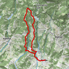
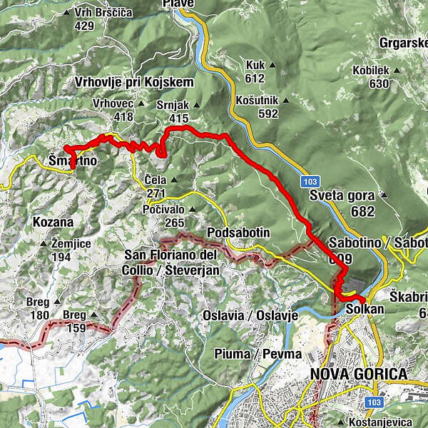
The stage runs from the tourist pearl of Brda, i.e. the medieval village of Šmartno, over the Sabotin hill to Solkan. The route connects Brda with the Bohinj railway line and the Soča region on one side, and the Vipava Valley on the other.
- Difficulty
-
difficult
- Rating
-
- Starting point
-
Centre of Šmartno (256 m)
- Route
-
Na KlancuHiša Marica0.0 kmSan Martin Hotel/Restavracija/Enoteka0.1 kmSan Martino0.1 kmImegna0.6 kmMejnik (321 m)1.3 kmAkrep.pri MARJOTU Bizjak Izidor1.6 kmGugnazze2.3 kmFigovizza4.1 kmBrestie4.7 kmtopovske kaverne galerije8.5 kmDom na Sabotinu10.5 kmSabotino (609 m)10.9 kmSollingen13.7 km
- Best season
-
JanFebMarAprMayJunJulAugSepOctNovDec
- Description
-
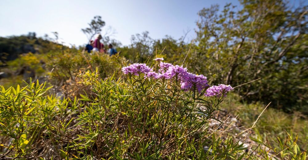
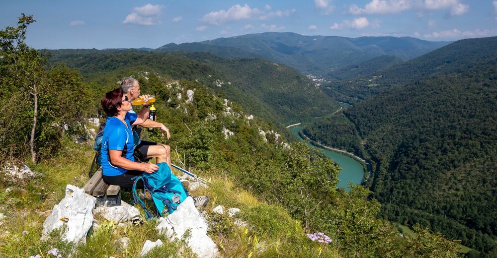
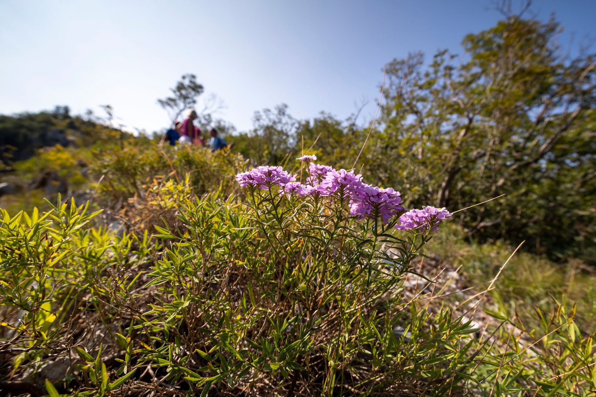
During this stage there are many spots where you can enjoy beautiful views, sit on a bench or have a picnic.
- Directions
-
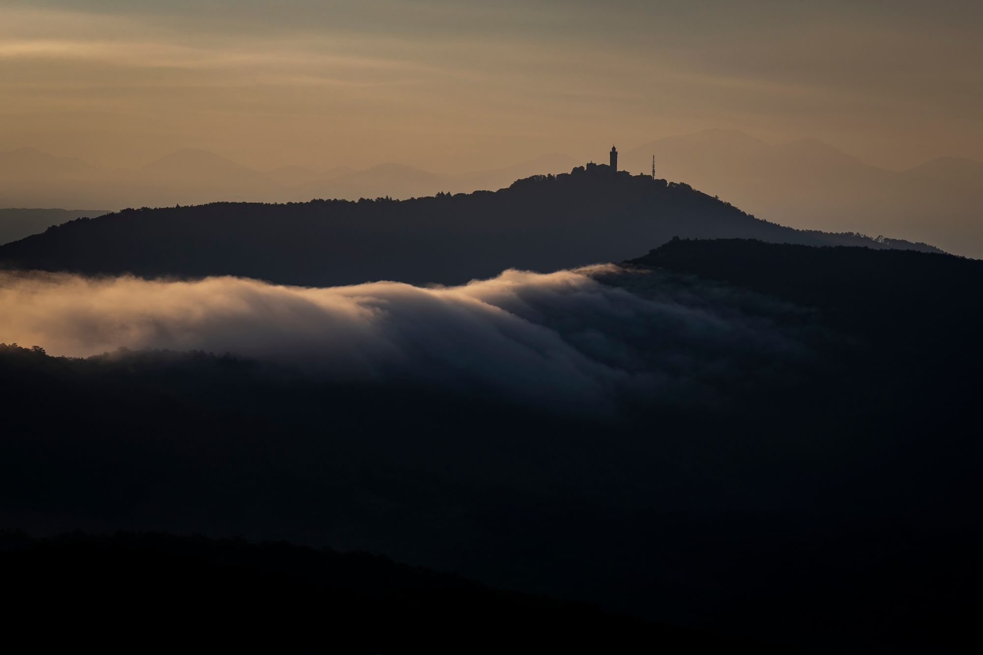
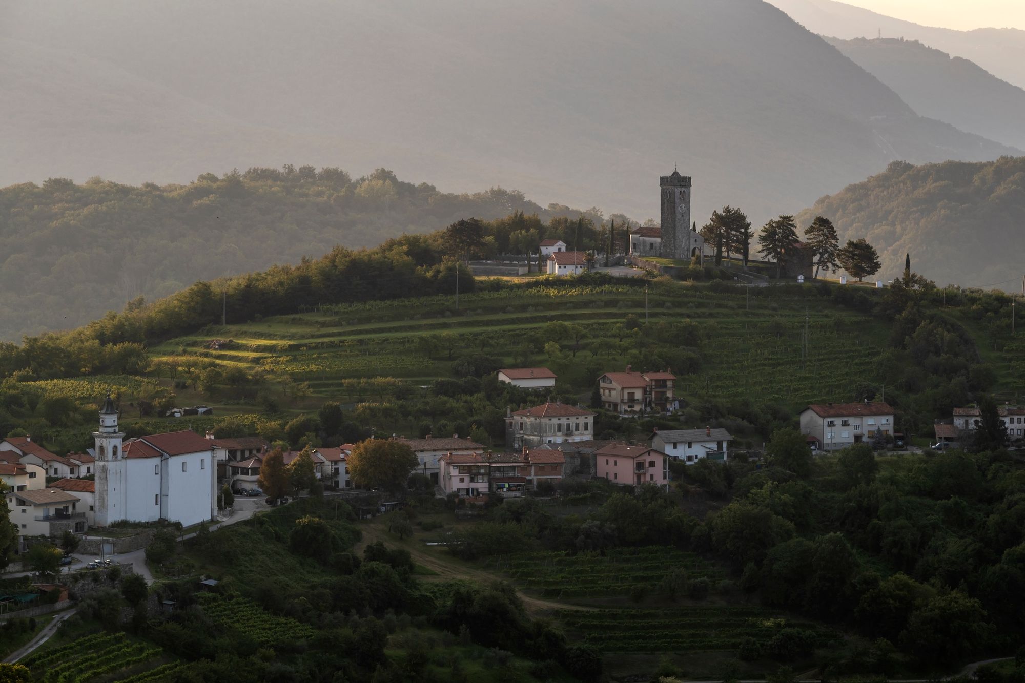
This stage starts in the centre of the medieval village of Šmartno, or “The Eagles’ Nest,” as poet Alojz Gradnik characterised it. While walking within the walls of the village you can visit the interesting Brda House ethnological museum that presents life in the past in the Brda region. The trail runs from Šmartno and past Gonjače, where you can climb the 23-metre-high panoramic tower with its view of the Julian and Carnic Alps, the Dolomites, the Friuli region, the Gulf of Trieste, the Karst, the Vipava Valley and Trnovski Gozd forest. A monument, the work of painter Janez Boljka, dedicated to 315 victims of World War II stands at the tower on the right bank of the Soča River.
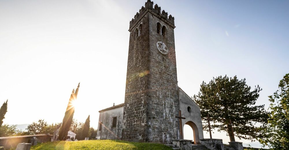
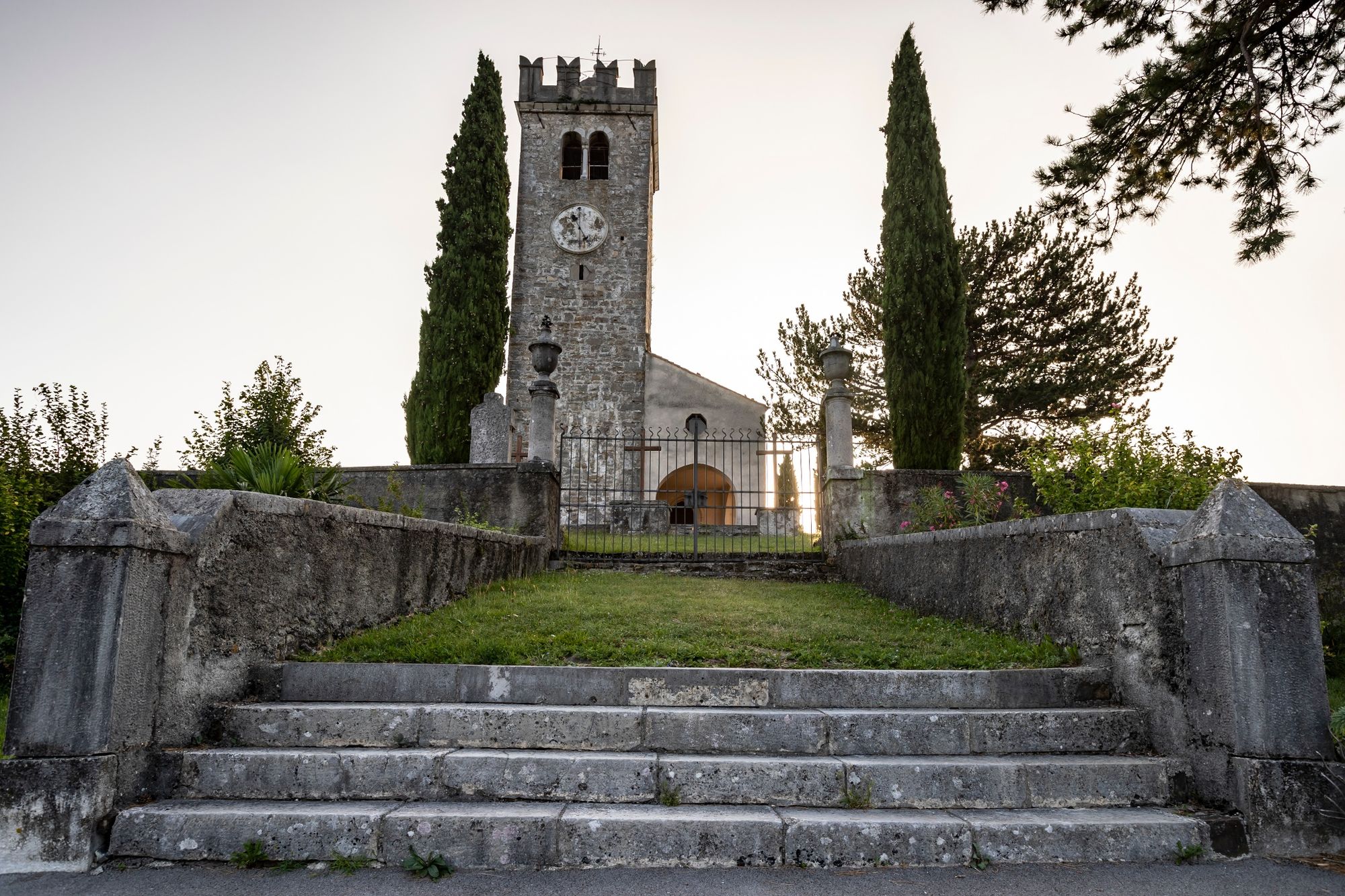
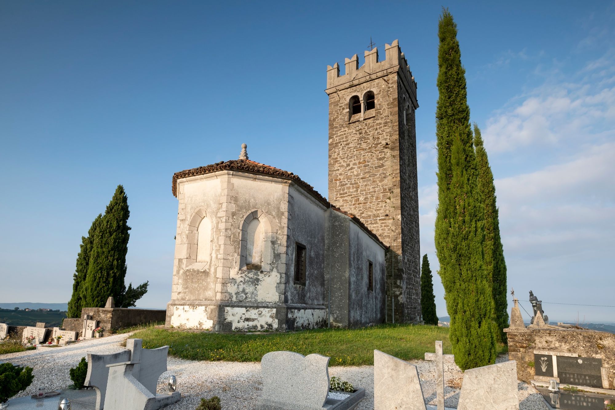
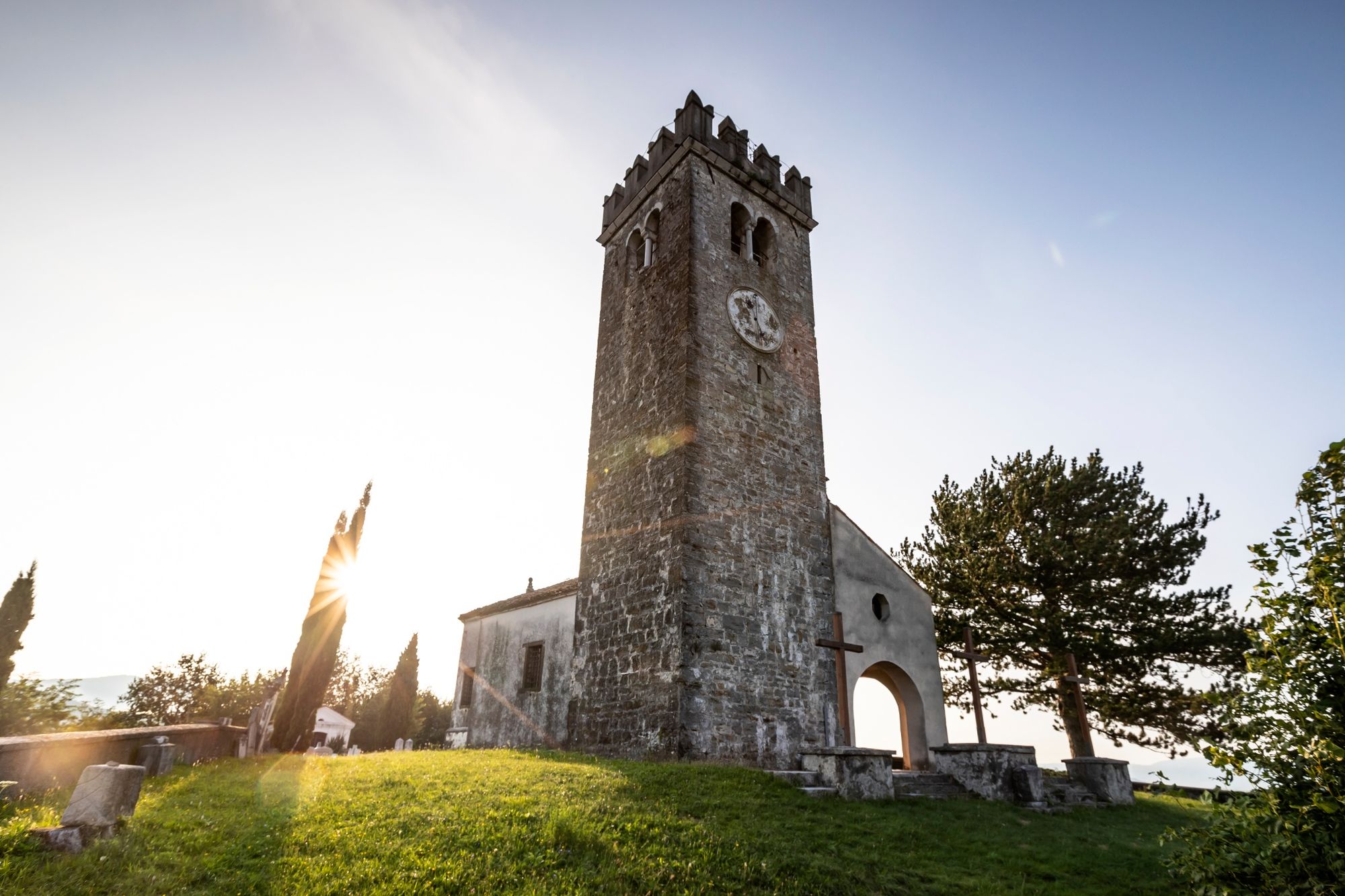
The trail then descends to Kojsko, with the Gothic church of the Holy Cross at the top. A pilgrimage route runs to the church – an outdoor Way of the Cross, its main Gothic wing altar made by the Villacher Werkstaetten wood-carving workshop in 1515, and the pearl of the route. The most interesting fact about this site dates back to the Turkish invasions, when a camp was built with four towers, one of which has been preserved up to this day and is used as a church bell. The other interesting fact is that the Italian king was able to observe the closest section of the Isonzo front from here during World War I.
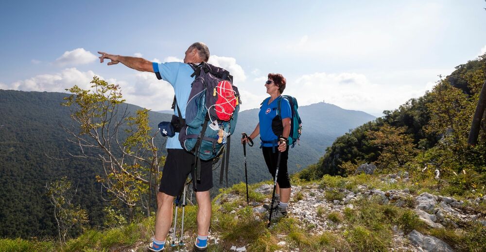
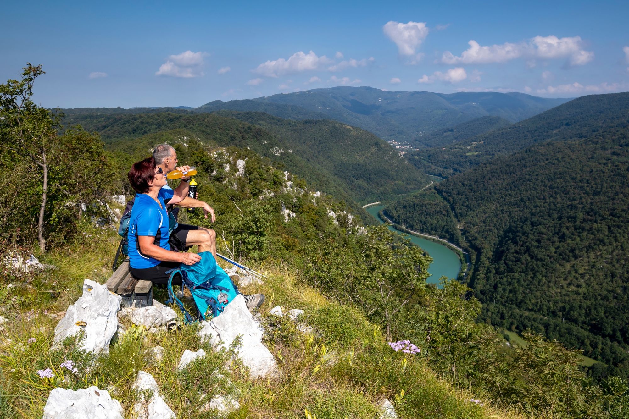
You can learn more about the front at Sabotin, which is the next point on this Brda region stage. While climbing the ridge, you can enjoy the view of the emerald Soča River, Sveta Gora and Škabrijel. You can also admire the rich flora and fauna, protected by Natura 2000. The trail runs to the remains of the old Church of St Valentine, which was completely demolished during the battles a hundred years ago. The spirit of WWI accompanies you at every step, because the hill is covered with trenches and underground tunnels, now cleaned up and prepared for viewing. A rich museum collection is available at the mountain hut. A unique Peace Park has emerged in the past few years, which reminds visitors of the senselessness of any kind of war.
The trail starts descending towards the final point of the stage – Solkan, a settlement more than a thousand years old, known mostly for its carpentry, and for the stone bridge, whose arch is the largest of its kind in the world. The so-called Sabotin Road project, the result of the Osimo Treaty between the former Yugoslavia and Italy from more than 40 years ago, which significantly shortened the route from Nova Gorica to Brda, is also admirable. Solkan chicory – “regut” – must be tried in winter.
- Highest point
- 587 m
- Endpoint
-
Solkan
- Height profile
-
 © outdooractive.com
 - Equipment
-
Hiking equipment suitable for the weather and season.
- Safety instructions
-
The route is safe and waymarked.
- Tips
-
We recommend visiting the museum collection at Sabotin and walking in the tunnels and caverns, which will be a unique experience, especially if you are travelling with children. Pay special attention to interesting flora and fauna, which differ on the sunny and shaded sides of the hill.
- Additional information
-
This stage is interesting in all seasons, but the views are even more beautiful in autumn and winter once the trees have shed their leaves.
- Directions
-
You can reach Solkan via the Soča Road, direction Nova Gorica, or from Nova Gorica to Tolmin and Bovec; there is a car park at the bridge over the Soča River.
- Public transportation
-
Solkan is well connected by rail and bus transport; Šmartno – buses go there twice a day.
- Parking
-
Šmartno – free car park at the entrance to the village; Solkan – free car park at the bridge over the Soča River in the direction of Goriška Brda.


- Author
-
The tour JULIANA TRAIL – Stage 20: Šmartno – Solkan is used by outdooractive.com provided.


General info
-
Brda
115
-
Nova Gorica
26