
- Brief description
-
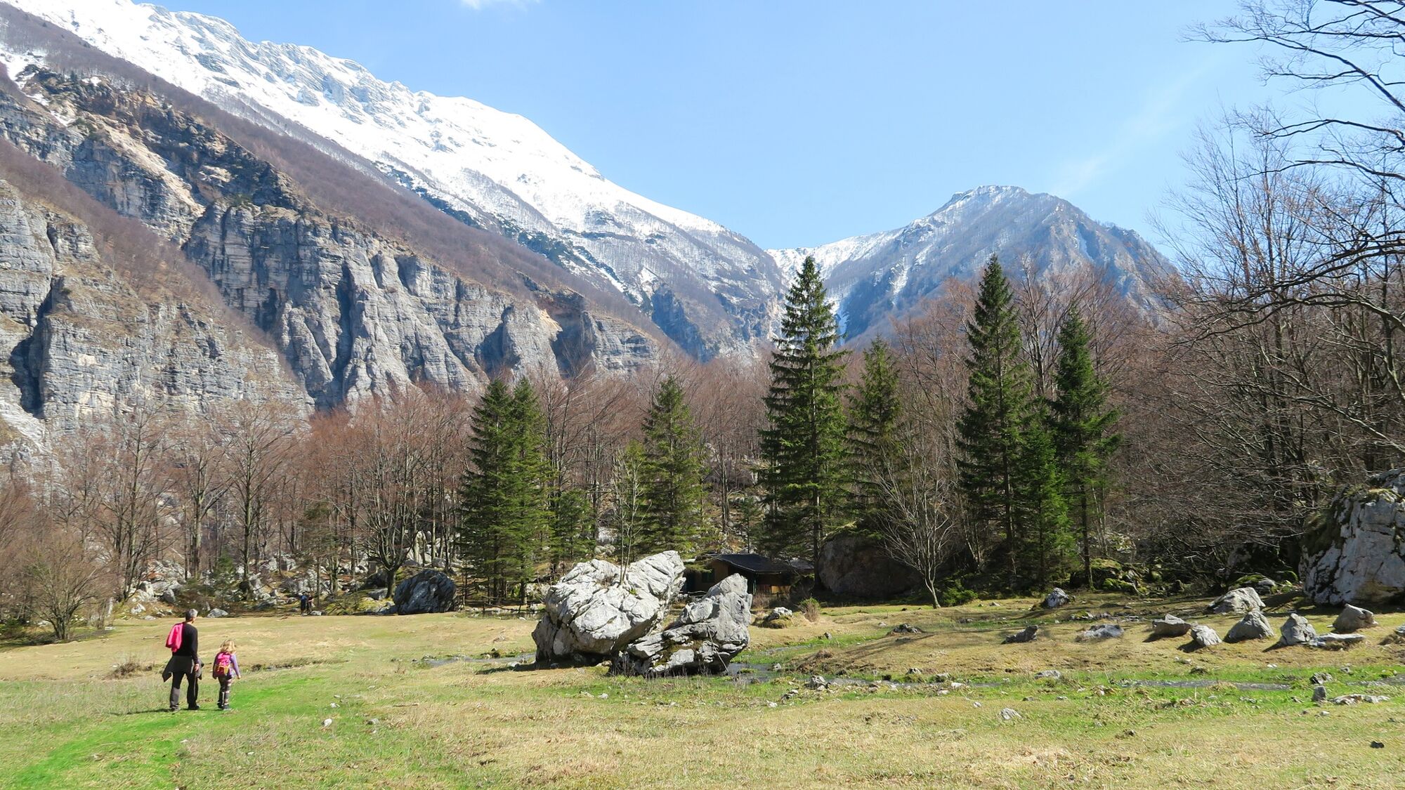
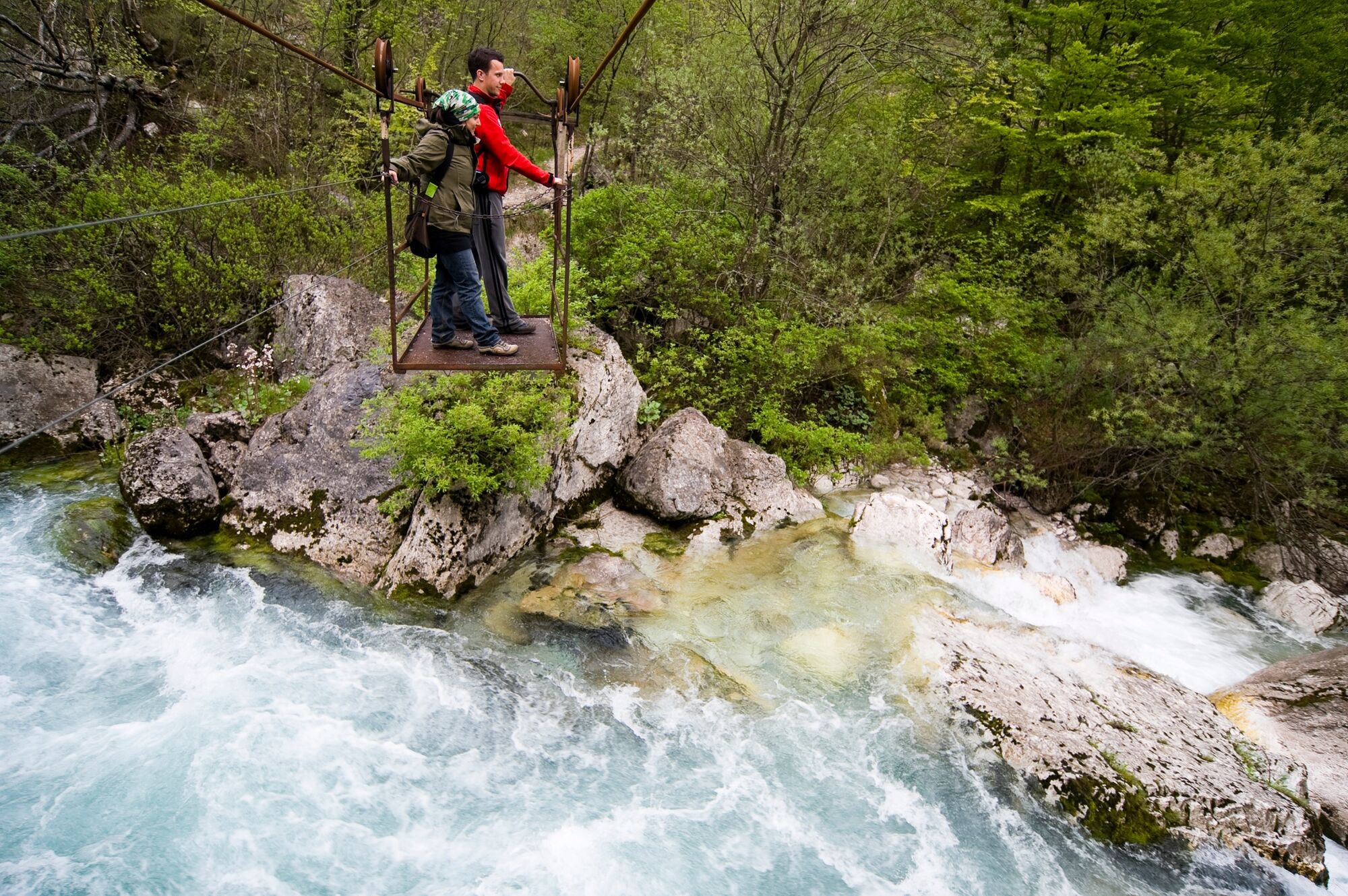
This dynamic circular footpath is very appropriate for families. The open area beneath the mountains surrounding the source of the Tolminka River is a true delight for the eyes. On the return, you have to cross the Tolminka River by using the manual cable car.
- Difficulty
-
easy
- Rating
-
- Starting point
-
Polog Mountain pasture
- Route
-
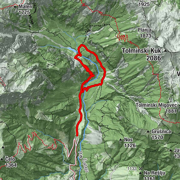
Železje (709 m)3.0 kmPlanina pod Osojnico3.2 km
- Best season
-
JanFebMarAprMayJunJulAugSepOctNovDec
- Description
-
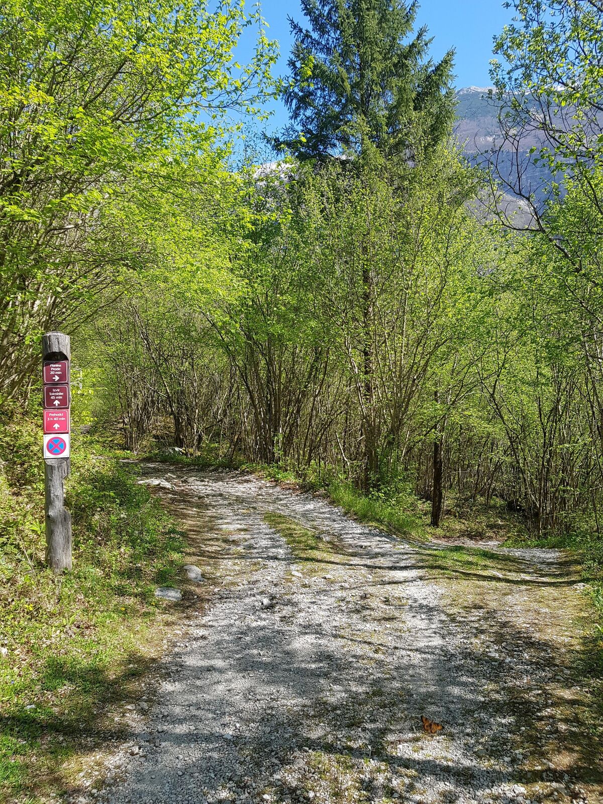
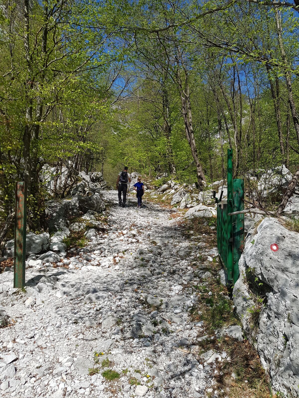
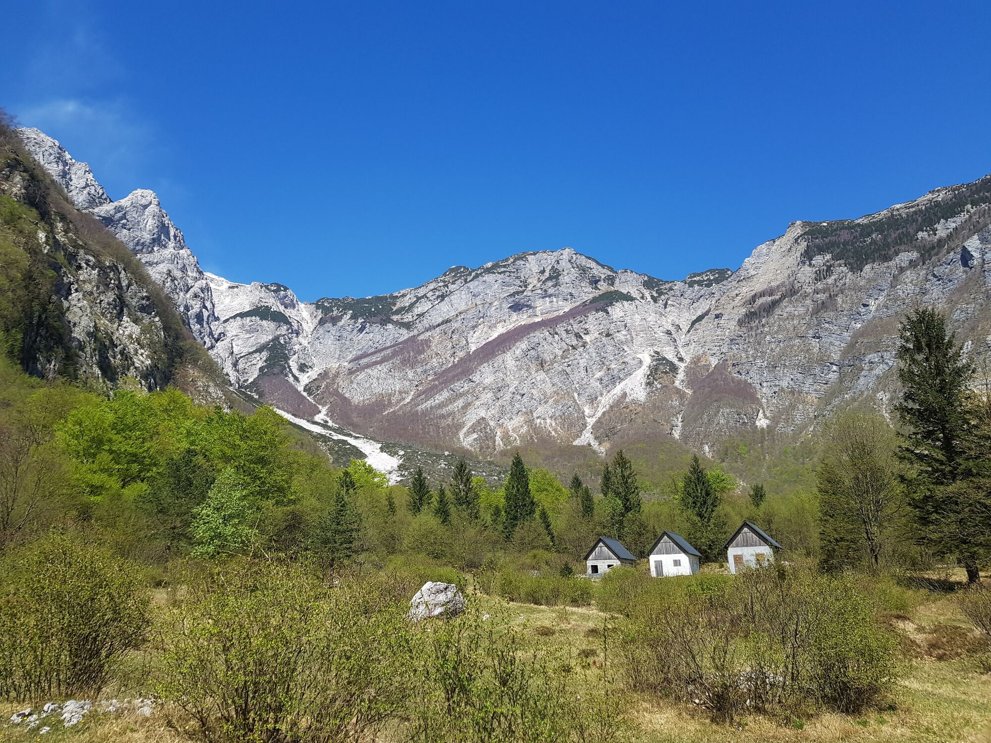
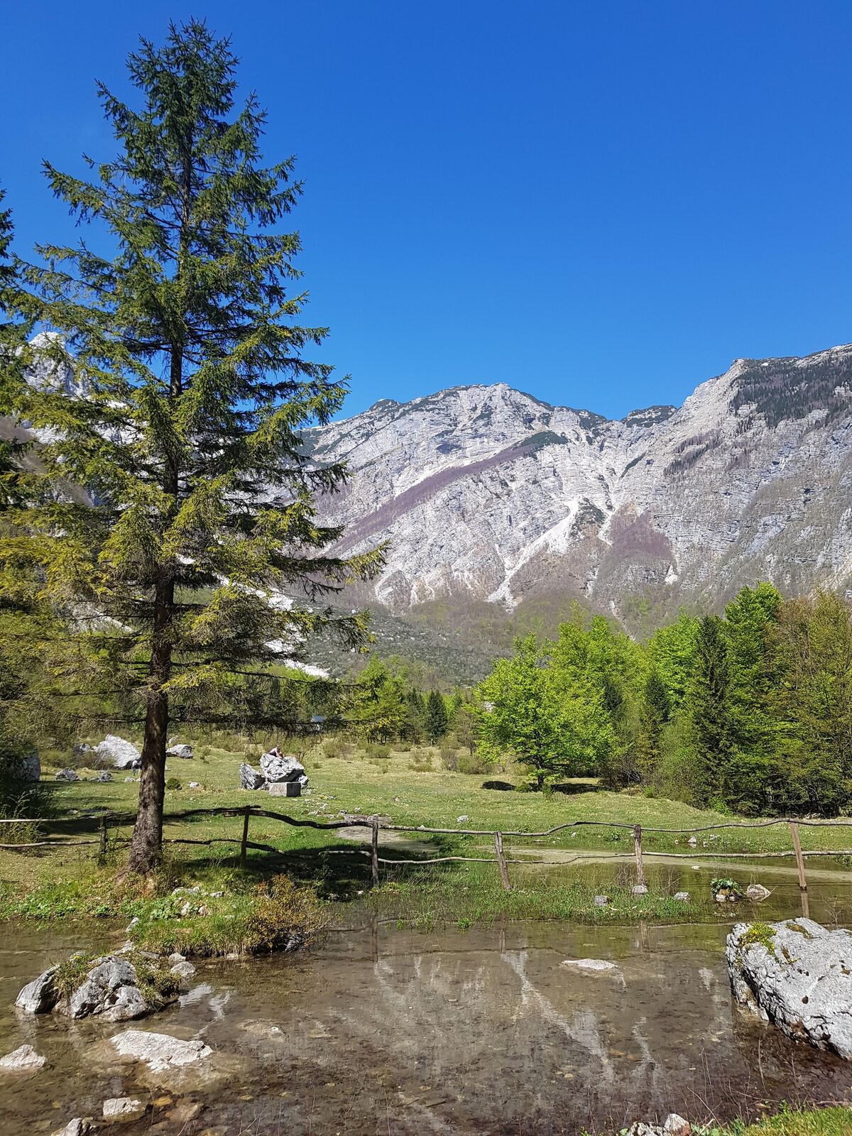
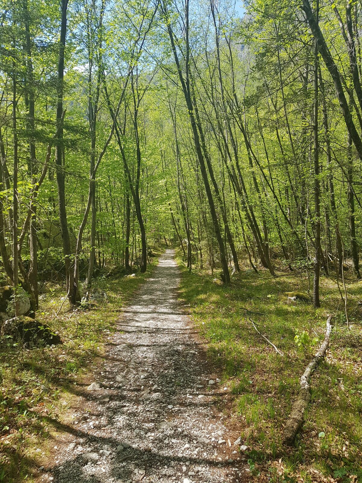
The trail to the source of the Tolminka River includes several sights and possibilities for exploration, which is why it is certainly not boring. It also represents an opportunity for a quick escape from the urban environment into the mountain area. Along the trail from the parking lot to the Polog Mountain pasture, you can notice the remnants of military bunkers, warehouses and fortifications from the period between World War I and World War II. After a few minutes of walking towards the Prode Mountain pasture you can also visit the megalithic circle, which is believed to have served as an old temple of our ancestors. When you arrive to the mule track, the trail starts ascending along hairpin bends through the forest. Just before you enter the mountain pasture area, you can admire the rocky cliff that broke off in the earthquake of 1998. When you enter the area of the source of the Tolminka River. you can enjoy in splendid views of the surrounding mountains and the Planina pod Osojnico Mountain pasture with a wonderful large meadow and a lake which narrows up at one section where you can cross it. On your return. you have to cross the Tolminka River beneath the Prode Mountain pasture by using the manual cable car.
- Directions
-
In the town of Tolmin, start following the road to the village of Zatolmin. When you arrive to the village, turn at the intersection and start following the signs for the Javorca Plateau. After ascending along the paved road for approximately one kilometre, you enter the area of the Triglav National Park where you have to continue along the partially paved narow road which includes certainj precipitous sections. After approximately seven kilometres, you arrive to the junction where the road to the left leads to the Javorca Plateau. Continue straight ahead and park your vehicle after approximately 300 metres at a small parking lot in front of the pasture fence (ramp). Follow the road past the Polog Mountain pasture until you reach the junction with the trail for the Prode Mountain pasture on the right. Continue straight ahead. The road turns into a gradually ascending cart track and later into a mule trail which you follow in hairpins for approximately 30 minutes. The trail levels up when you arrive to the pasture fence. After a couple of metres, turn to the narrow trail which will take you to the hunting lodge at the source of the Tolminka River (5 min). From here, continue to the Planina pod Osojnico Mountain pasture and, at the junction, start following the signs for the Prode Mountain pasture and the Prehodci Mountain pass. When you arrive to the next junction, follow the sign for the Prode Mountain pasture and, when you arrive to the dam, cross the wide torrent riverbed. After crossing the riverbed, turn to the right and start following the up-and-down trail which is routed along the foothills of Mt. Tolminski Kuk and leads into the forest. The trail is marked with stone cairns which will help you to orientate. The trail exits the forest, leads across scree slopes (10 minutes to cross), continues through forest and quickly brings you to the Prode Mountain pasture.
- Highest point
- 724 m
- Endpoint
-
Source of the Tolminka River
- Height profile
-
 © outdooractive.com
 - Equipment
-
Season appropriate hiking equipment.
- Tips
-
From the Town of Tolmin, you can also reach the Polog Mountain pasture by bicycle.
- Additional information
-
During the summer months we recommend you to take this tour early in the morning or late in the afternoon because the area surrounding the source of the Tolminka River is exposed to the sun.
- Directions
-
You can reach the dedicated parking lot beneath the Polog Mountain pasture by car.
During the summer months (July - August) there is free transportation available from the town of Tolmin to the parking lot beneath the Javorca Plateau. You can check the timetable on:
www.soca-valley.com.
- Public transportation
-
There is no public transportation available.
During the summer months (July - August) there is a free transportation available from the town of Tolmin to the parking lot beneath the Javorca Plateau. You can check the timetable on:
www.soca-valley.com.
- Parking
-
Parking is available at the dedicated parking lot in front of the Polog Mountain pasture.
- Author
-
The tour Source of the Tolminka River is used by outdooractive.com provided.