
- Brief description
-
This stage takes us above and through the lower part of Baška grapa across the panoramic Senica to the Soča Valley, and ends in the picturesque Most na Soči.
- Difficulty
-
medium
- Rating
-
- Starting point
-
Car park above the railway station in Grahovo.
- Route
-
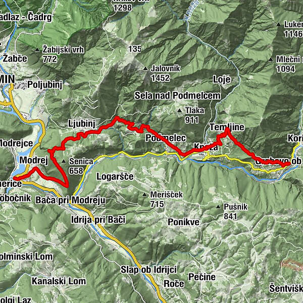
Gracova0.0 kmTemljine3.1 kmKapela Marijinega rojstva3.3 kmKneža4.8 kmSveti Juraj5.0 kmPiedimelze6.6 kmHum8.3 kmLjubinj11.1 kmSenica Viewpoint12.9 kmStopec14.7 kmModrea15.8 kmSveti Maver16.3 kmSanta Lucia16.6 kmRestaurant SKRT16.7 kmPizzerija Jezero16.8 km
- Best season
-
JanFebMarAprMayJunJulAugSepOctNovDec
- Description
-
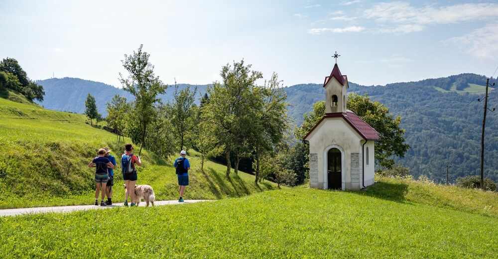
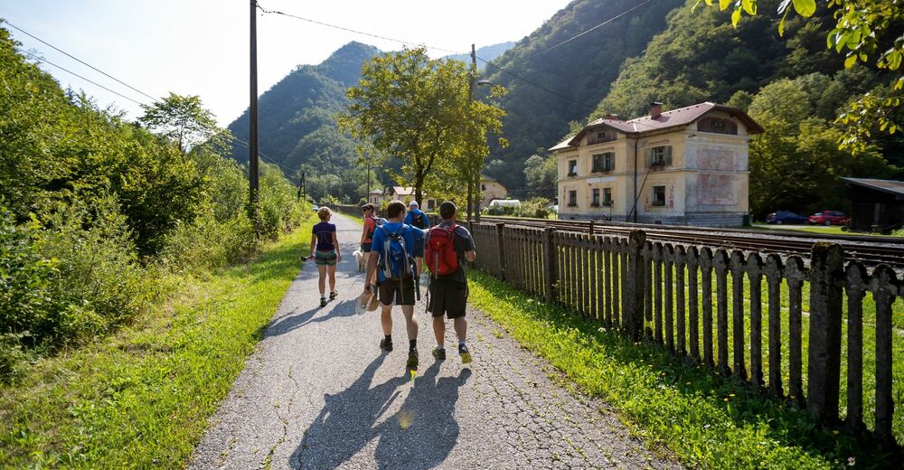
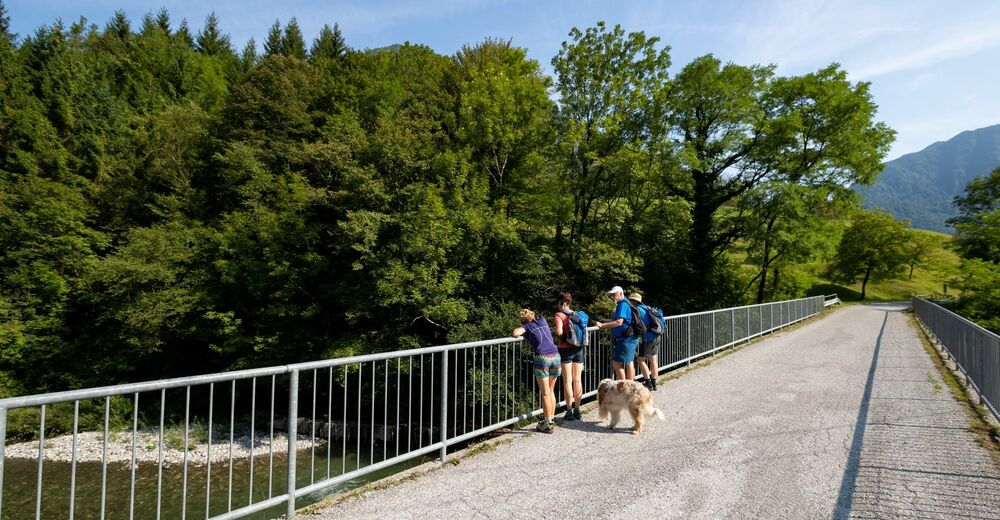
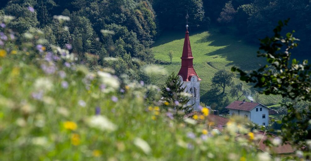
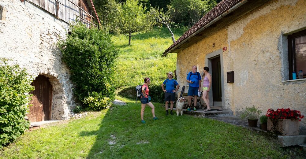
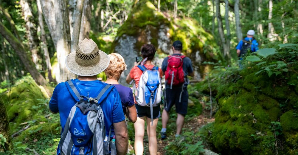
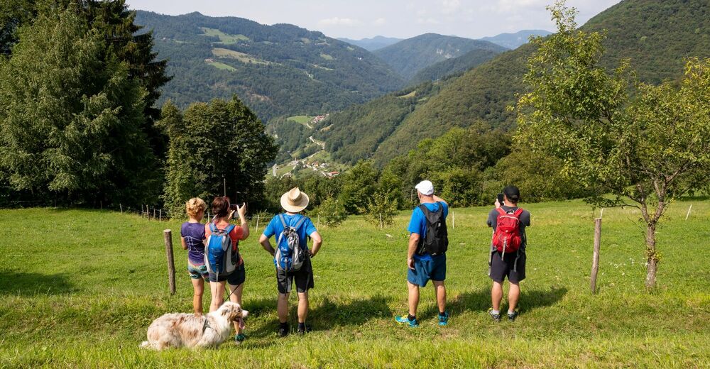
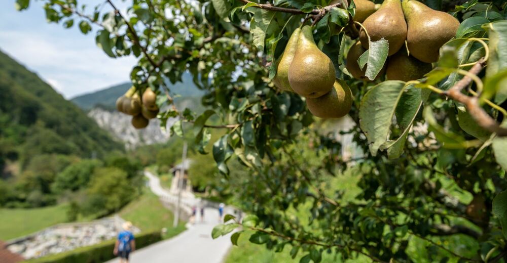
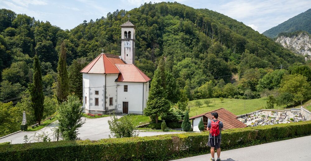
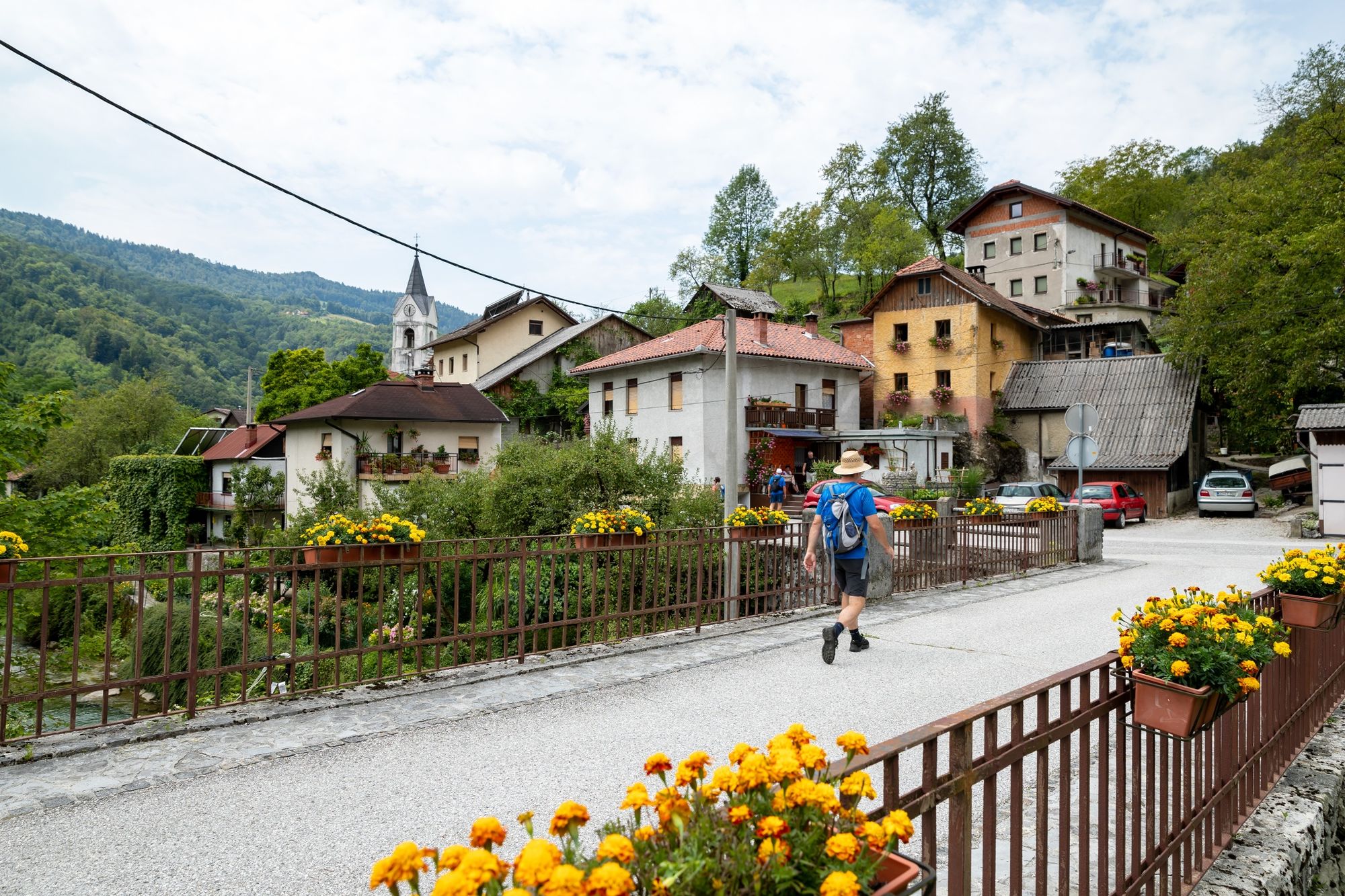
The first part of the trail runs high above the valley. We leave Grahovo to ascend to the Ravence farm and continue to Temljine, the next wonderful mountain village along our route. Descend to Kneža and follow the side road to the Ljubinj pass. The forest road takes us to Senica, a wonderful panoramic site offering beautiful views of Most na Soči, Tolmin, the emerald Soča River and dramatic alpine peaks above the lower part of the valley. The stage ends in Most na Soči, a place built at the confluence of the Soča and Idrijca Rivers. This place was one of the key European archaeological sites from the Iron Age. Deep gorges of both rivers which used to be a defence line and which are now covered by the accumulation lake, enhance the beautiful picturesque scenery of the place.
- Directions
-
The first part of the route to Temljine and the descent to Kneža takes us along old paths, we continue along the road from Kneža to Ljubinj, where we continue along the forest road that takes us to the Senica panoramic point and from there, we continue along the tourist path to Most na Soči. Through the main part of the village, we can ascend along the cart road to the meadows on a panoramic terrace above the village. While walking, we go past a covered manger, which was used as a laundry washing area in the past. There is a path on the forest edge, which takes us to the Ravence farm. Continue through the forest to the sunny village of Temljine. Soon before the first turning of the access road below the village, we come to a path that takes us across meadows and among scattered farms back to the valley, to Kneža. There is a side road behind the church which takes us to Podmelec and through Hum to Ljubinj. On the left side, approx. 150 metres before the village, a forest road runs uphill on the right side, which we follow to the beautiful panoramic point Senica. The marked path takes us across the edges of Senica and steep southern slopes to Most na Soči.
- Highest point
- 595 m
- Endpoint
-
Car park opposite the Most na Soči Kayak Club.
- Height profile
-
 © outdooractive.com
 - Equipment
-
Hiking equipment suitable for the season.
- Safety instructions
-
There is no phone reception in some areas.
Normal level of caution is recommended, there are no special dangers along the way.
In winter, all Juliana Trail stages from Podbrdo to Bovec are impassable in snow, but if the conditions are dry (usually until the end of December or from March), the trail is very nice.
- Tips
-
The stage is long. The route is beautiful, where we can explore the life of people in more secluded areas.
Soon after the Podmelec village it is worth climbing to see the picturesque 60 metres high Sopota waterfall and fresh up to continue the tour.
- Additional information
-
Hint by Triglav National Park: Sopota Waterfall
The stunning Sopota (or Soupat) waterfall, which falls over an overhang in a three-stage drop that ends in an amphitheatre-shaped basin 60m below, is hidden in a remote location between Tolmin and Baška Grapa.
The high, narrow stream of water slips down into a pool that increases in size up to three times when water is abundant, as is clearly evidenced by the site’s vegetation. The pool is surrounded by high, thickly overgrown rock faces. Visitors can take some rest on the panoramic platform and watch the waterfall, as if in a cinema.
Near the pool is a spring of healing water, wittily named by the locals Babja Sitnost (A dame’s ill temper). High in mineral content, the water from the spring is said to have beneficial effects on the body. Fill up a bottle or two for your further explorations of the Juliana Trail.
- Directions
-
Continue along the road from Ljubljana or Bohinjska Bistrica to Petrovo Brdo and further to Podbrdo and Grahovo.
Tolmin– Most na Soči – Grahovo
Nova Gorica– Most na Soči – Grahovo
- Public transportation
- Parking
-
Car parks in Grahovo.
Car park opposite the Most na Soči Kayak Club.


- Author
-
The tour JULIANA TRAIL: stage 10 Grahovo ob Bači - Most na Soči is used by outdooractive.com provided.


General info
-
Goriška
389
-
Most na Soči
81