Mt. Mrzli vrh (1359 m), a steep ascent from the village of Zatolmin


- Brief description
-
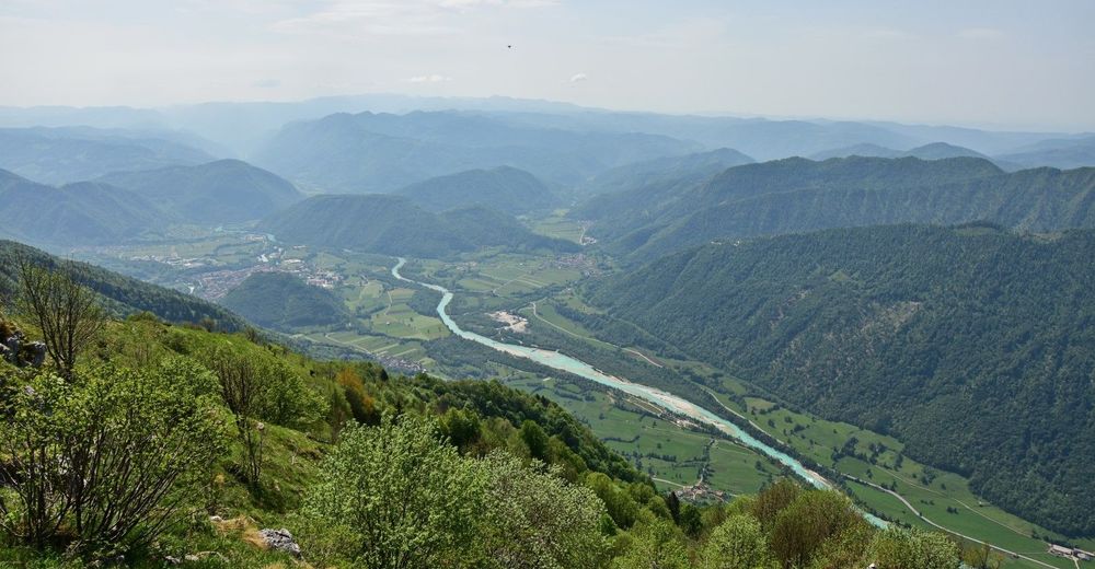
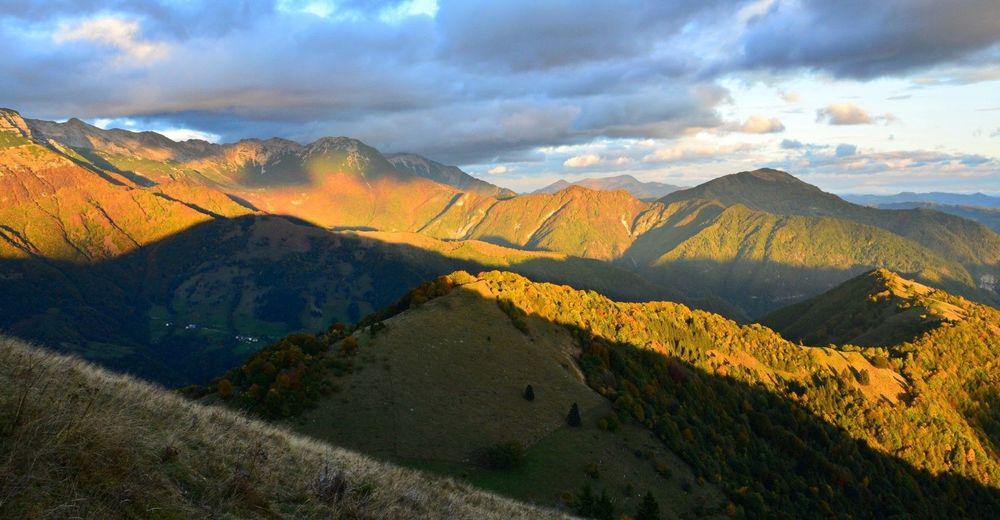
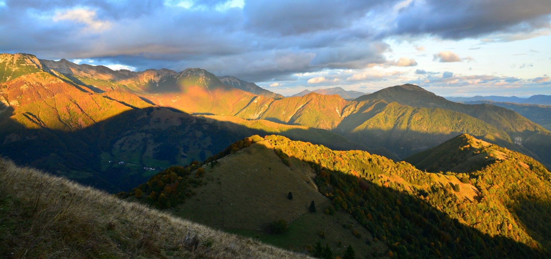
A steep tour for prepared hikers where you have to overcome a great altitude difference to the top of the hill which is still considered as part of the Alpine foothills. A marvellous sightseeing hill and a reminder of the events from World War I.
- Difficulty
-
medium
- Rating
-
- Starting point
-
Zatolmin
- Route
-
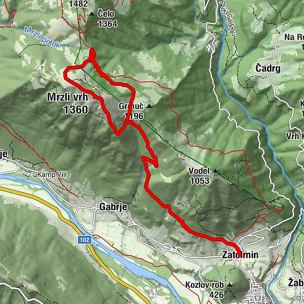
Gostilna ZatolminSottolmino0.1 kmDollia1.0 kmMonte Mrzli (1,360 m)5.1 kmPlanina Školj7.9 kmDollia11.7 kmSottolmino12.7 kmGostilna Zatolmin12.8 km
- Best season
-
JanFebMarAprMayJunJulAugSepOctNovDec
- Description
-
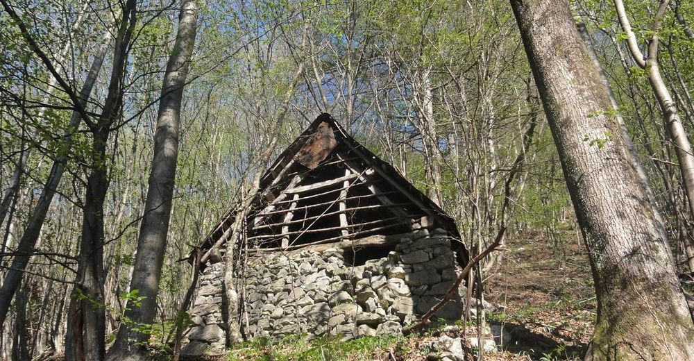
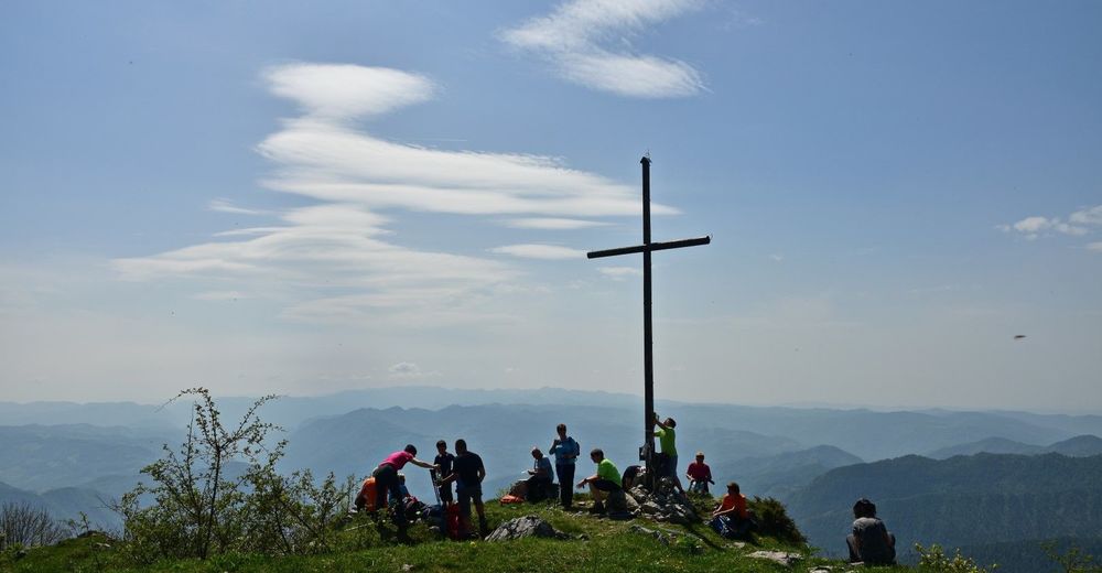
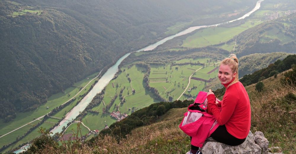
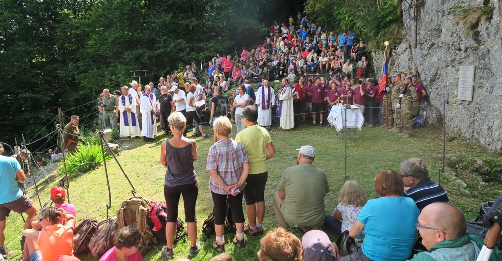
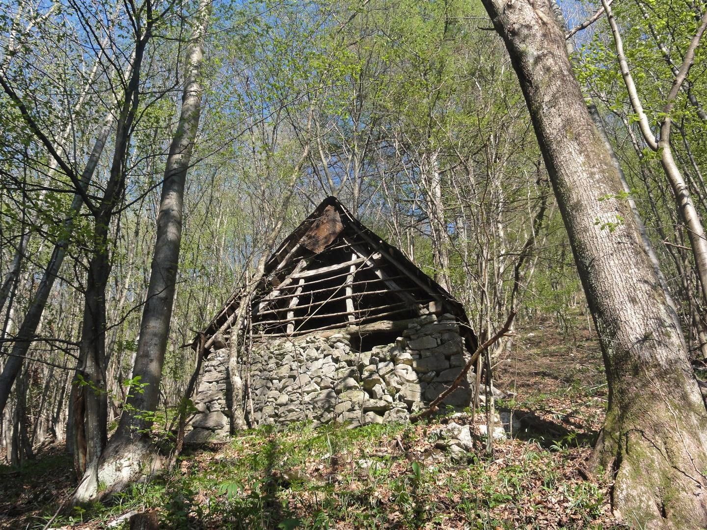
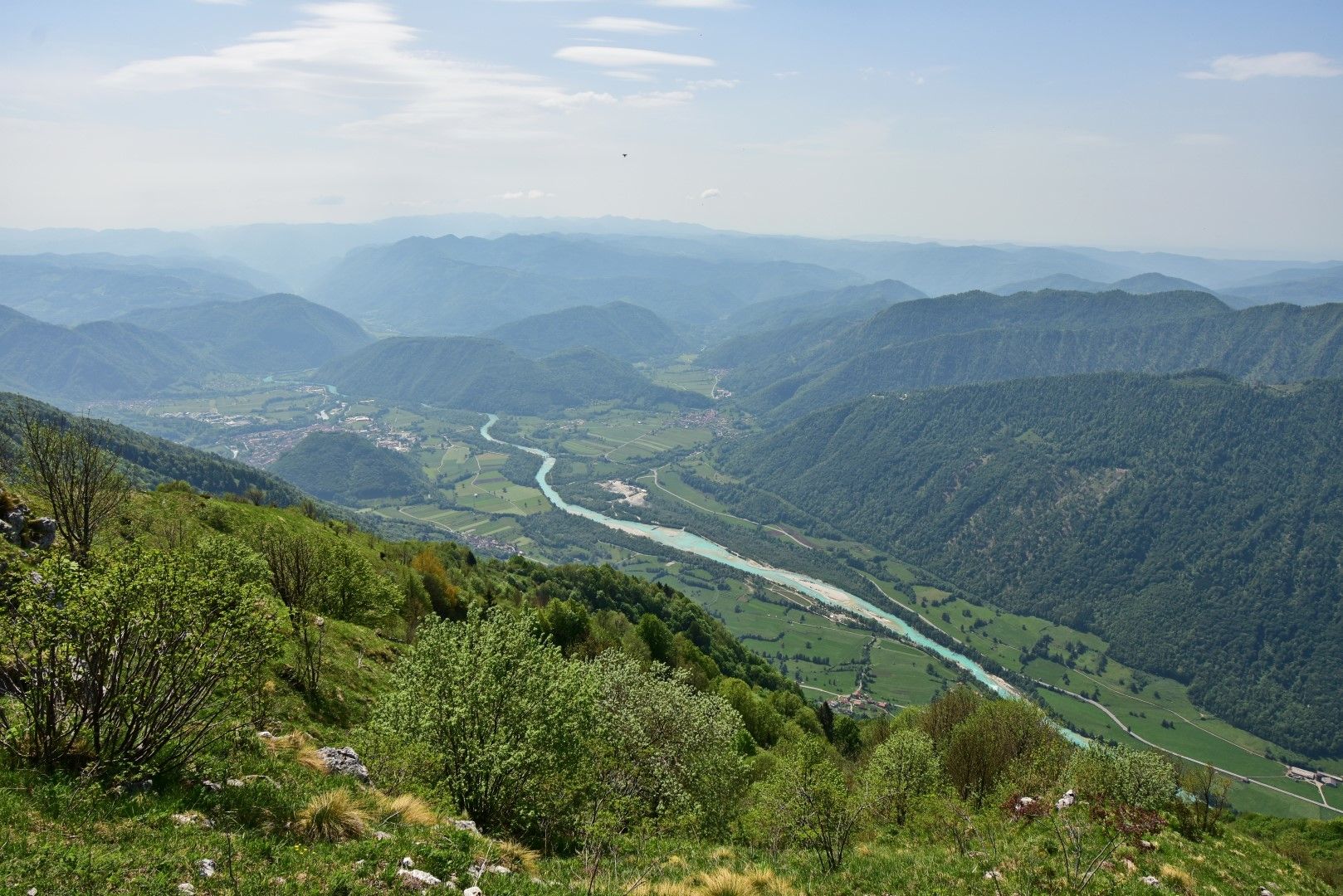
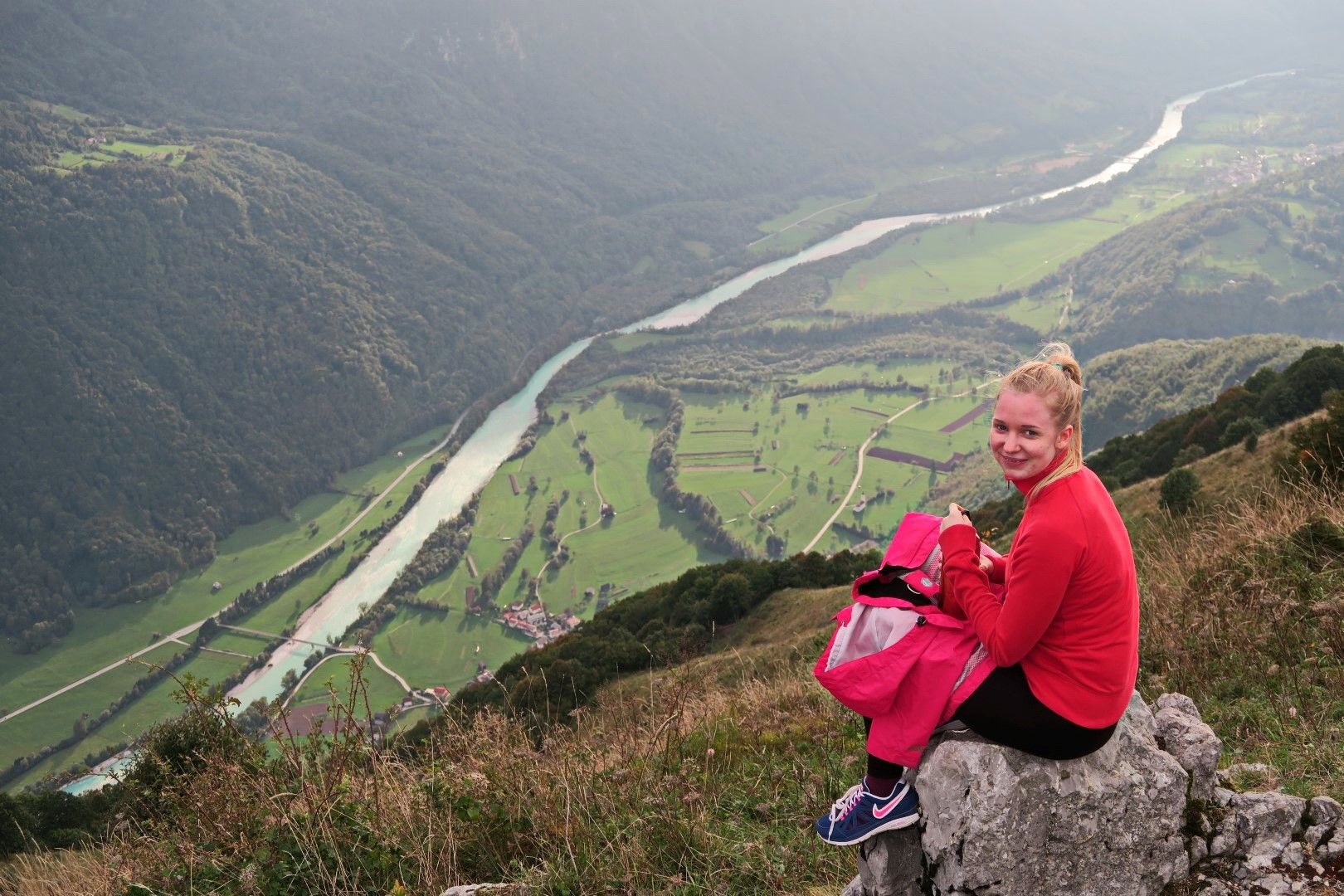
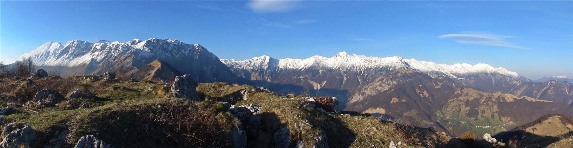
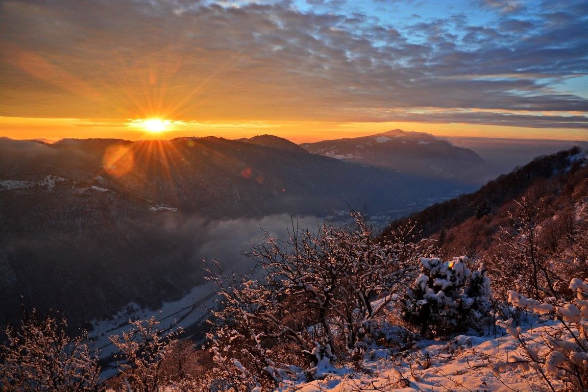
Mt. Mrzli vrh is a steep and broad mountain above the Soča Valley known for its tough and bloody battles during World War I. There are two objects acting as reminders of those times – Monument to the fallen Czech soldiers standing at the edge of the tree-line on the eastern side of the summit, and a chapel constructed by Hungarian soldiers in the cavern in front of the Pretovč Mountain pasture. Mt. Mrzli vrh is also a wonderful sightseeing hill, just like the other summits of the Alpine foothills.
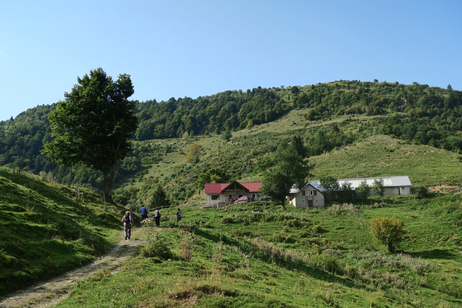
Ascent to Mt. Mrzli vrh from the village of Zatolmin is appropriate for fitness training and is very convenient due to its vicinity to the town of Tolmin. You can make it quite faster than this is defined in this description. If you would like to enjoy in more comfortable hiking pleasures, or take your family or a group of friends to the top, I recommend you to arrange transportation to the Kuhinja Mountain pasture (beneath Mt. Krn) and take a considerably gentler ascent across the Pretovč Mountain pasture from the side facing the town of Kobarid.
- Directions
-
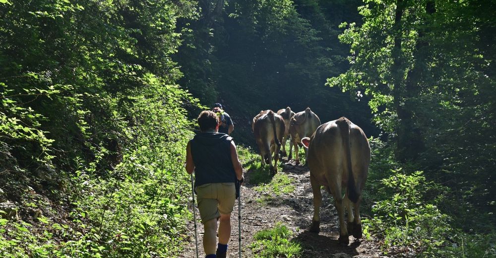
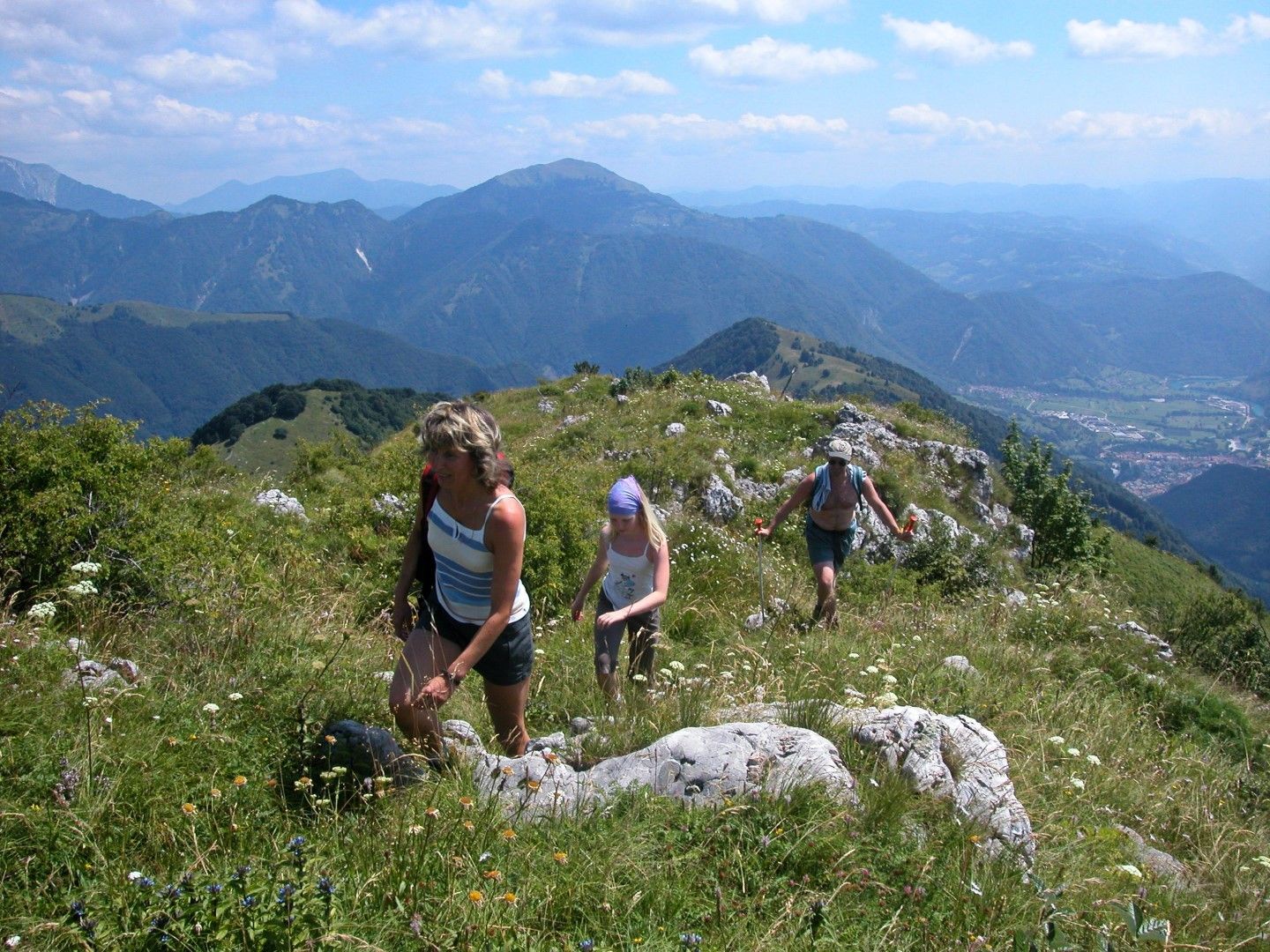
At the top of the village of Zatolmin find the trail which leads from the last houses to the left and uphill across the slopes towards Mt. Mrzli vrh. Directions are simple and the junctions are well-marked. The lower part of the trail is comfortable and wide because the peasants from the village of Zatolmin also use it to take the cattle to the mountain pastures. At the upper part of the trail, at the edge of the mountain pastures, you leave the main trail and continue to the left along the trail leading to the start of the initially overgrown and later more open ridge towards the top of the mountain.
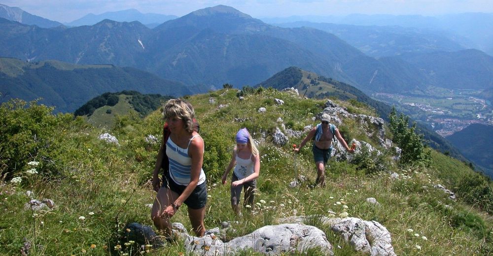
You can descend along the same trail, but it is nicer to continue along the top sightseeing ridge to the side of the mountain facing the town of Kobarid and the mighty Mt. Krn. When the slopes start to descend you can notice pasture buildings of the Pretovč Mountain pasture on your right. You reach them by descending down the pastures. Continue descending along the road on the northern side of the mountain until you reach the first junction to the right which leads uphill across the ridge and a mountain pass back to the trail where you came from and further to your starting point.
- Highest point
- 1,342 m
- Endpoint
-
Mt. Mrzli vrh
- Height profile
-
 © outdooractive.com
 - Equipment
-
Usual hiking equipment appropriate for the season and weather conditions.
- Safety instructions
-
The trail can get slippery in wet or icy weather conditions, therefore caution is required. There are no major dangerous sections along the trail.
- Tips
-
During the hot summer days it is better to avoid the ascent from the village of Zatolmin. or at least start the tour in early morning or afternoon hours.
- Directions
-
If you use public transportation, your will start your tour at the Tolmin Bus station. If you drive your own car, you continue along the road to the village of Zatolmin.
- Public transportation
-
Because the village of Zatolmin where you start this tour is only a kilometre away from the centre of Tolmin, you can combine the trip with all of the tours routed through the town. You can also start this tour in the town of Tolmin.
- Parking
-
Parking is available at the parking lot at the beginning of the village of Zatolmin.


-

-
AuthorThe tour Mt. Mrzli vrh (1359 m), a steep ascent from the village of Zatolmin is used by outdooractive.com provided.