Along the Soča River through the Kobarid Gorge to the village of Magozd and the Kozjak Waterfall


- Brief description
-
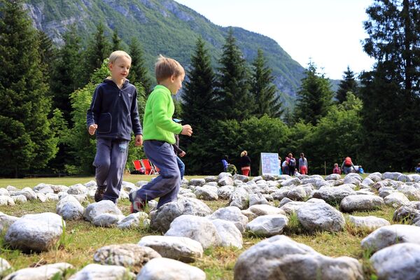
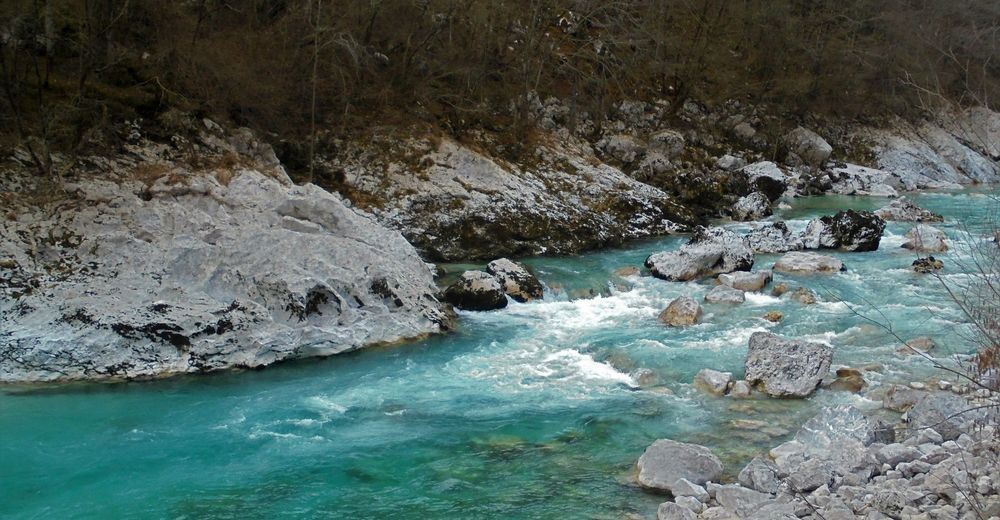
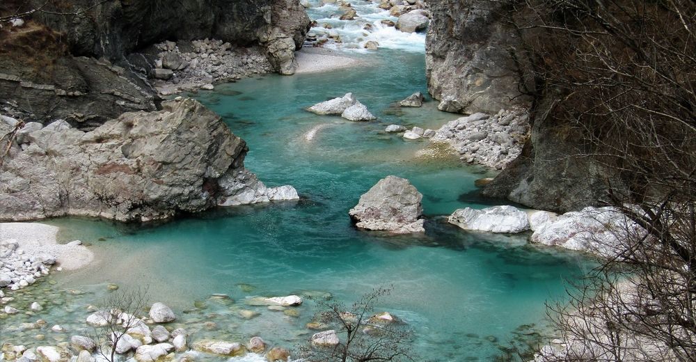
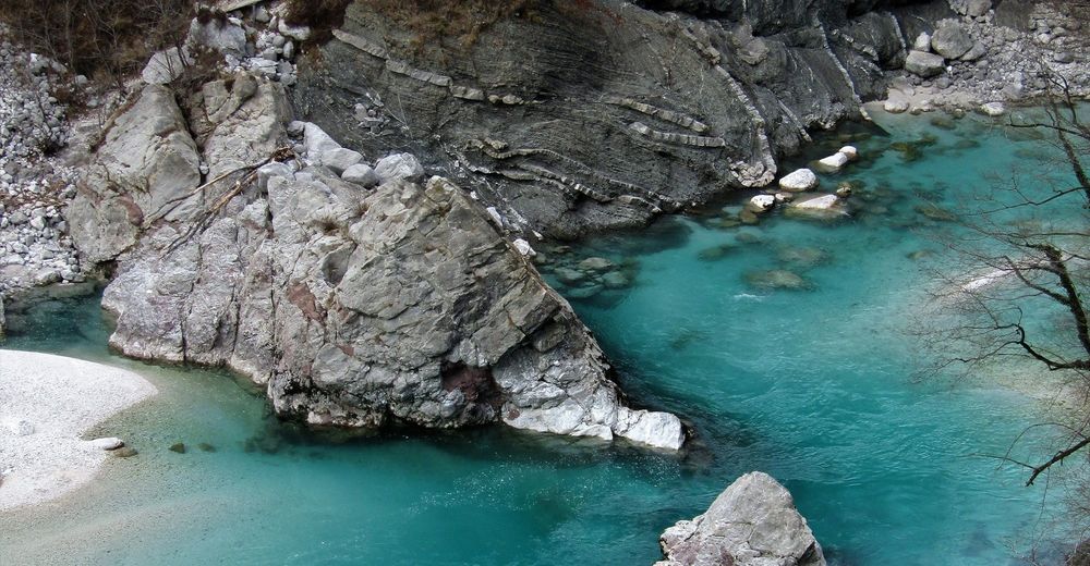
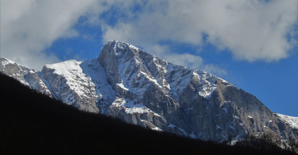
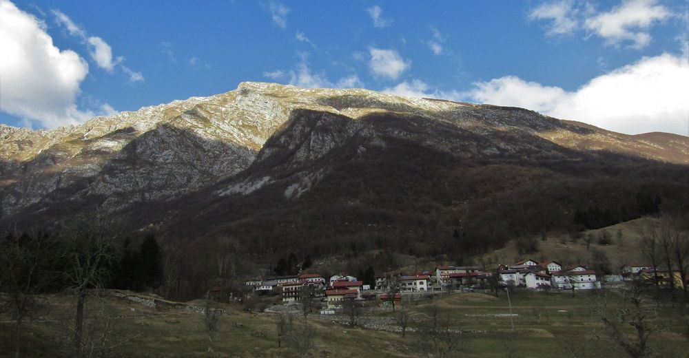
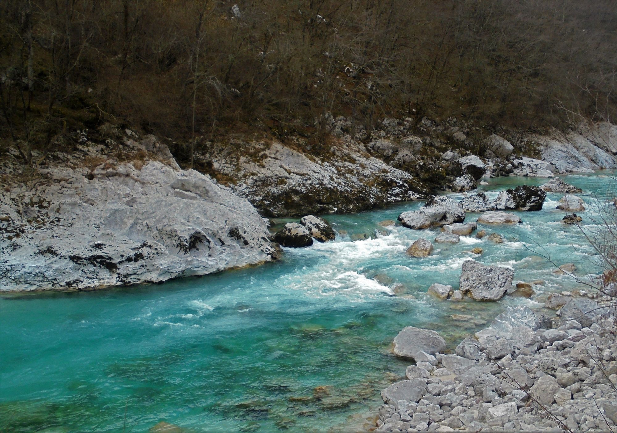
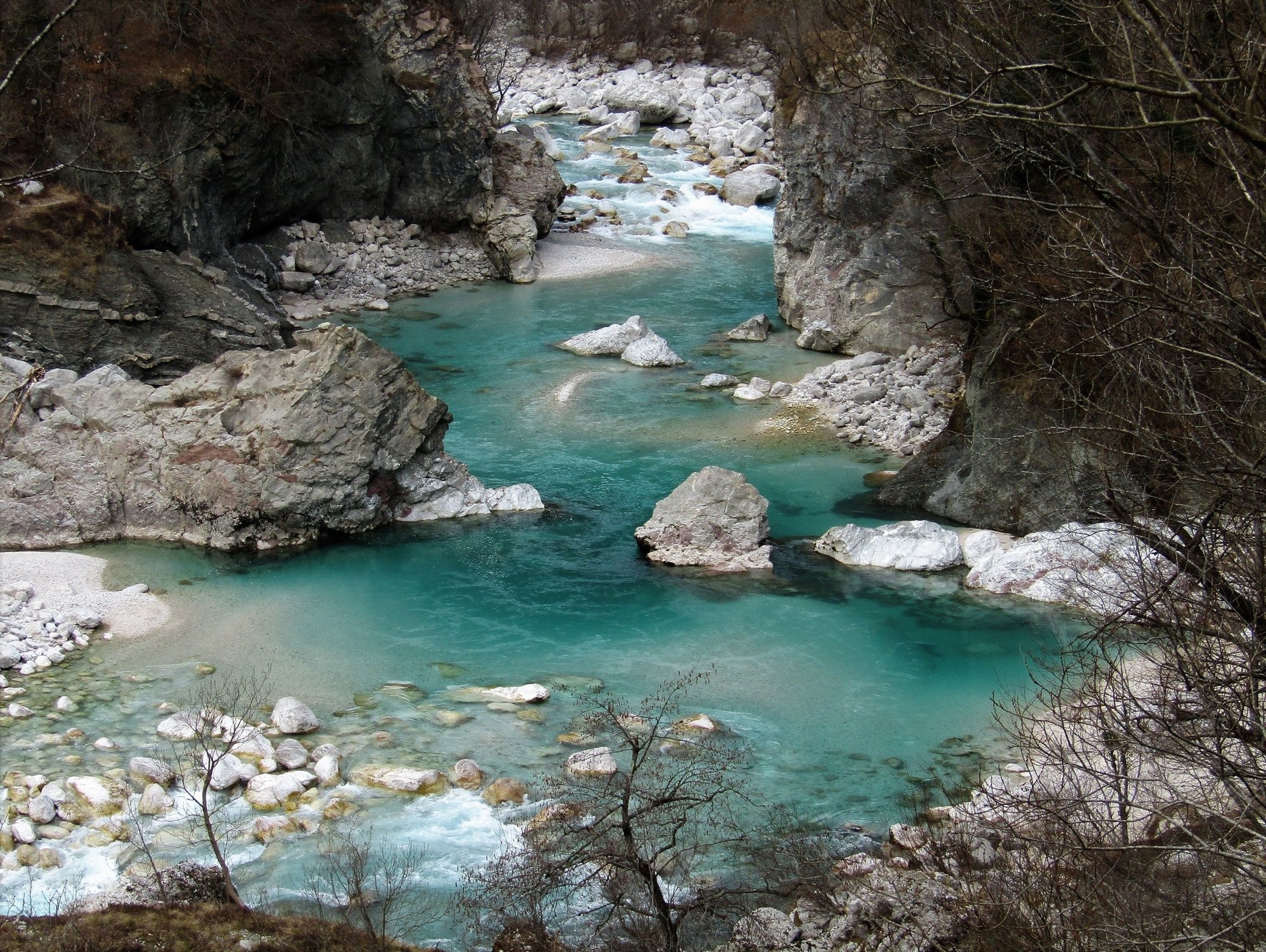
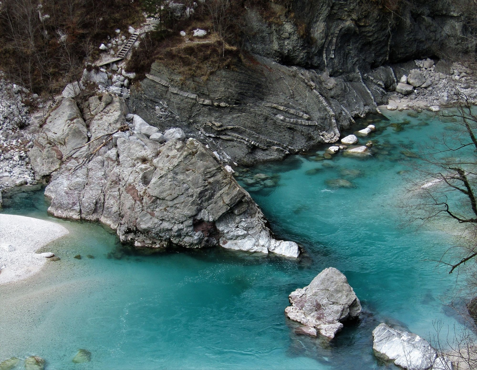
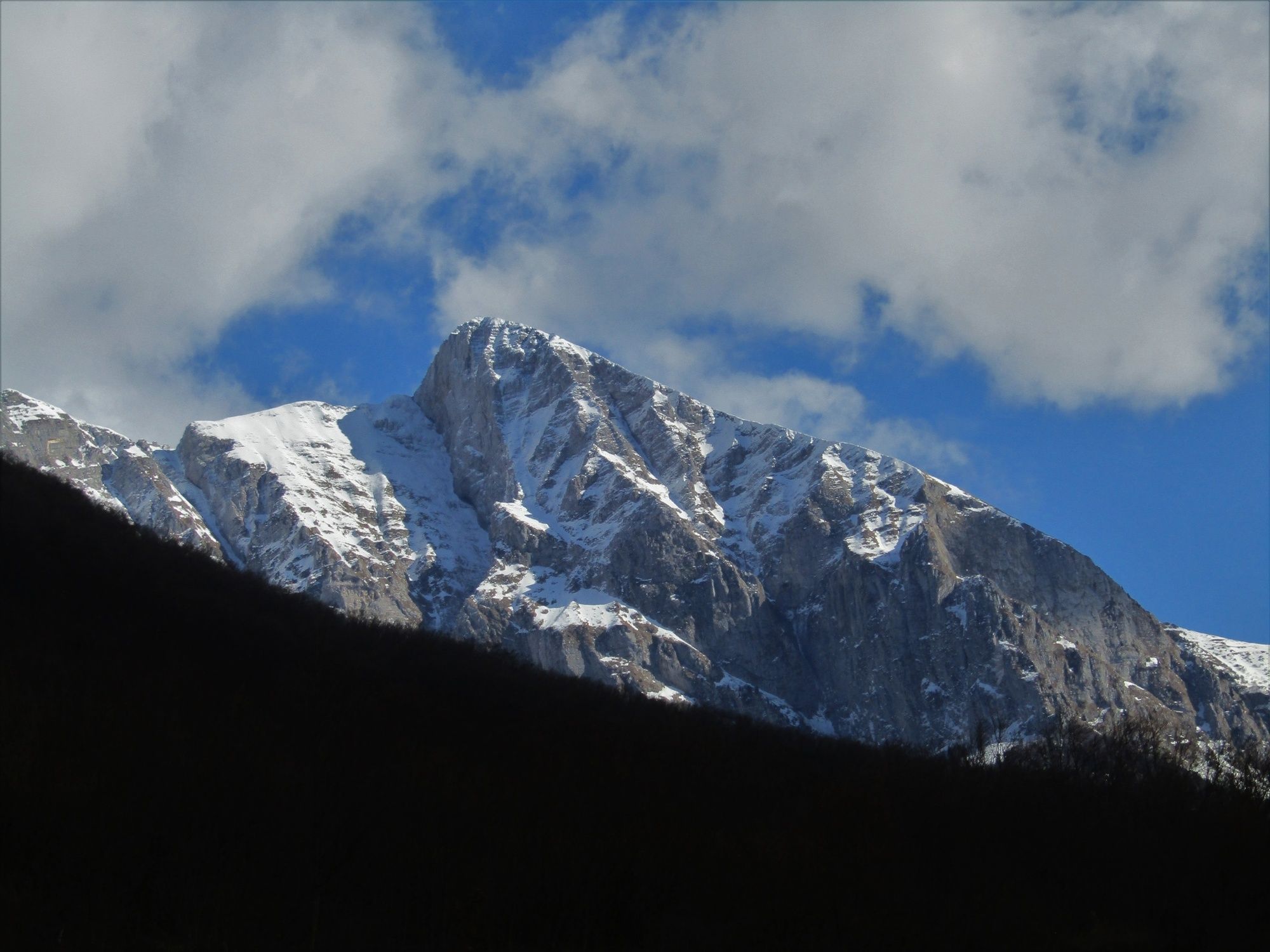
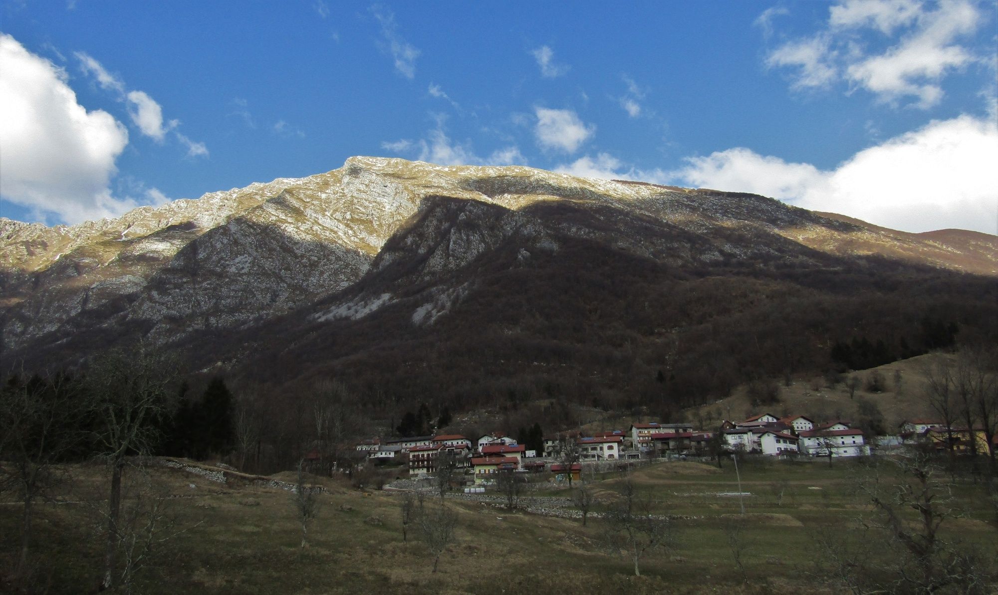
The Soča Trail, one of the finest themed trails of the valley, is surrounded by Mt. Krasji vrh and the ridge of Mt. Polovnik on the right and the emerald Soča River on the left. Along this nicely routed trail you will be able to take care for your body and soul.
- Difficulty
-
medium
- Rating
-
- Starting point
-
Kamp Lazar
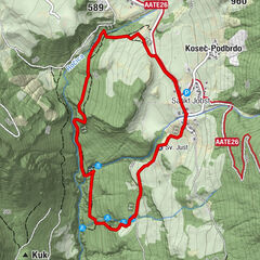
- Route
-
Restaurant Kamp Lazar0.0 kmMagost (457 m)5.2 kmVeliki Kozjak6.5 kmMali Kozjak7.3 kmRestaurant Kamp Lazar8.1 km
- Best season
-
JanFebMarAprMayJunJulAugSepOctNovDec
- Description
-
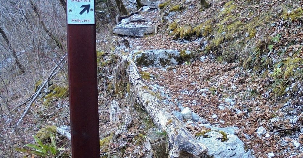
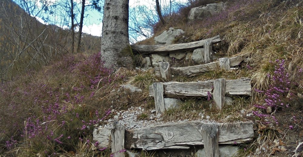
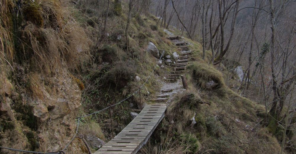
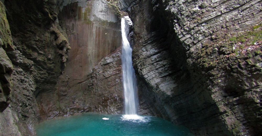
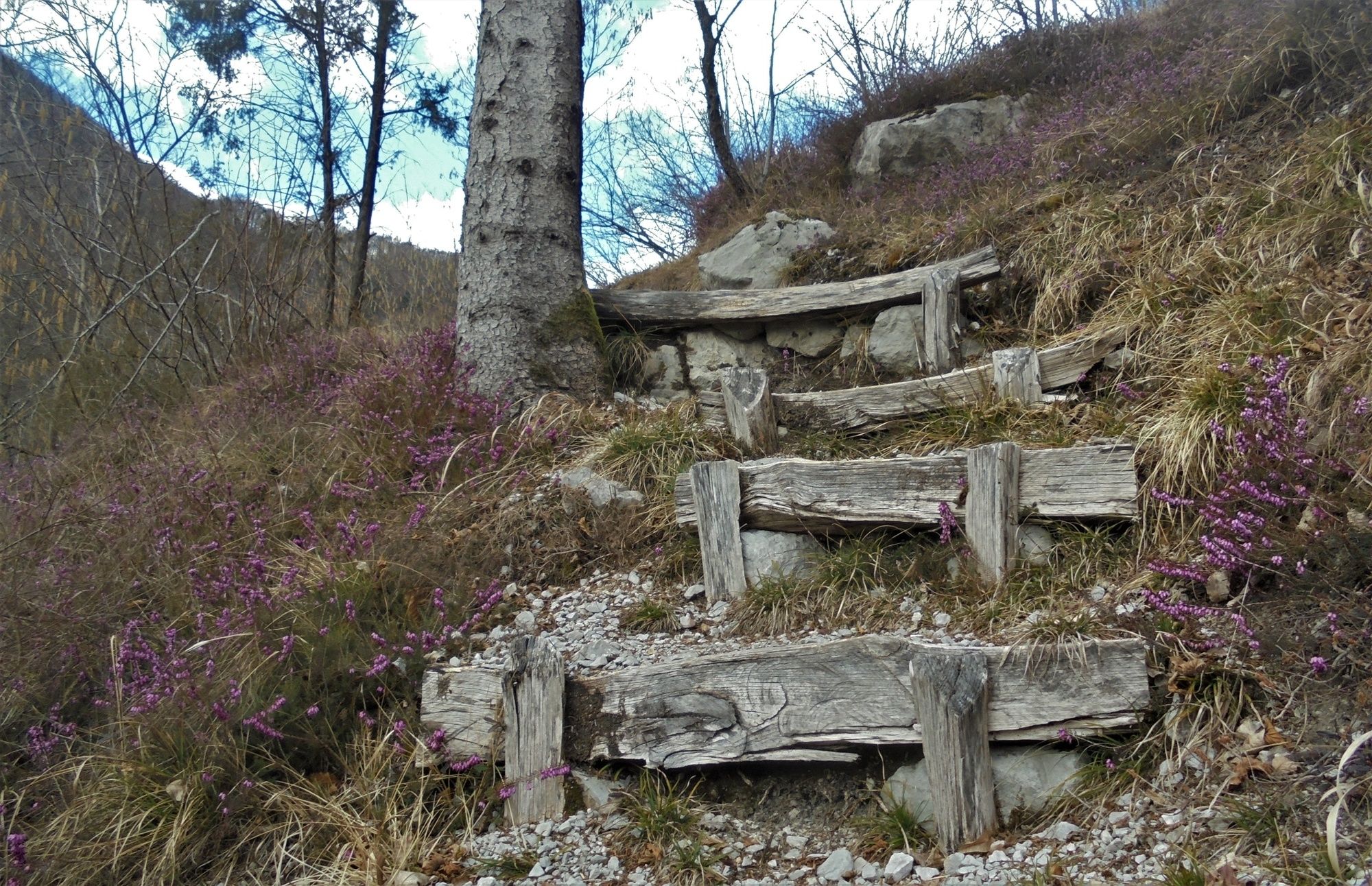
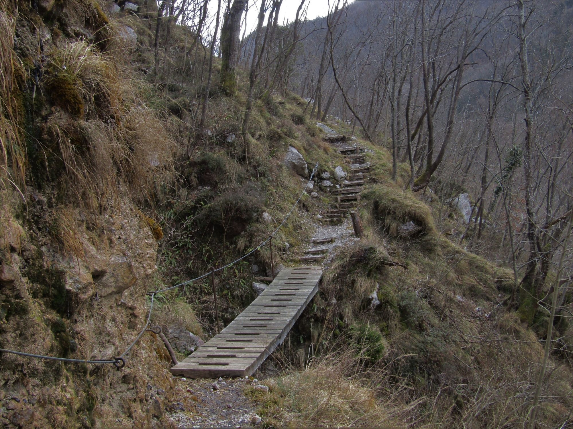
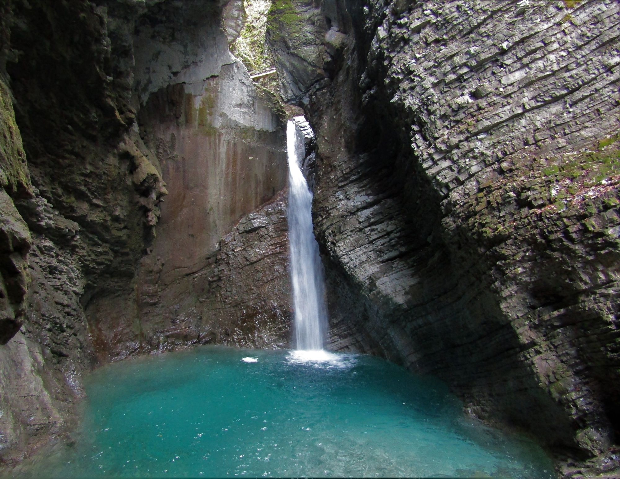
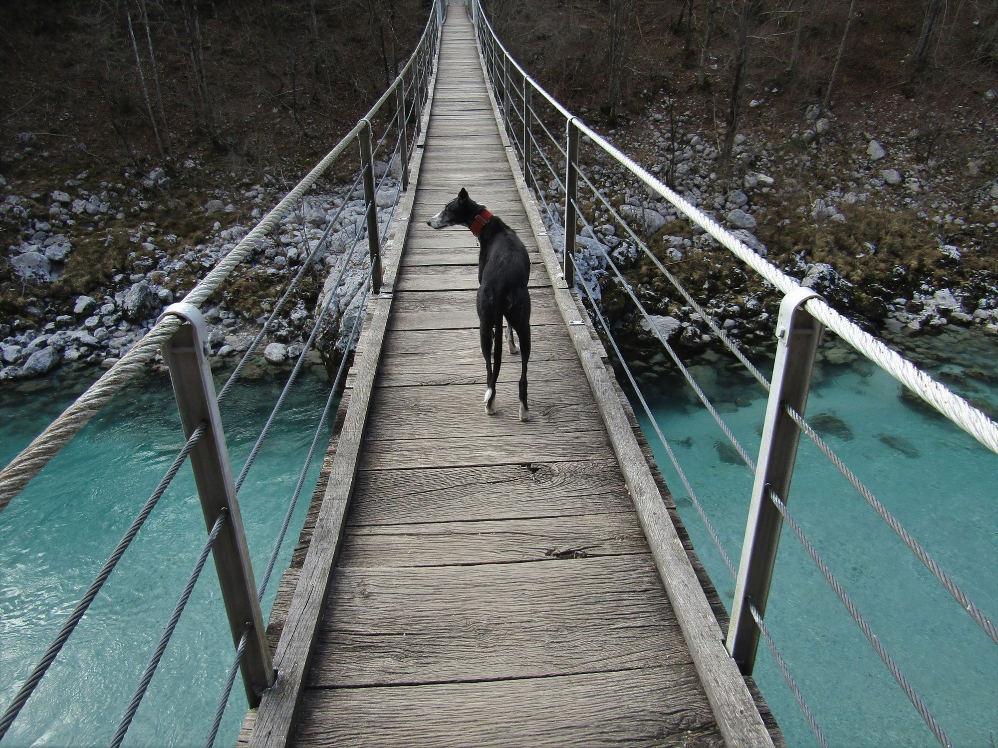
At Kamp Lazar, where you can refresh yourself before the tour, start following the signs for the Kozjak Waterfall. Cross the attractive footbridge to the left bank of the Soča River. Along the trail towards the Kozjak Waterfall you will notice the sign »Soška pot« (Soča Trail) which will first lead you to the confluence of the Soča River and the Kozjak Stream. Cross the Kozjak Stream along the wooden bridge and ascend higher on the bank. This themed trail is quite dynamic and will make you warm up along its ascents and descents. Along the entire trail you can listen to the melody of the emerald river and admire its rapids and pools into which it curls along its way to the sea. After approximately 60 minutes of walking, the signs direct you to the right on a cart track towards the village of Magozd. Ascend through the forest to the clearing where wonderful views open towards Mt. Krn. After another kilometre of walking you arrive to the village of Magozd where you start following the signs for the Kozjak Waterfall. On the large meadow the trail turns towards the Kozjak Waterfall. This splendid sight is really worth visiting. From here, you only have to follow the marked trail back to the starting point.
- Directions
-
At Kamp Lazar, start following the signs for the Kozjak Waterfall. Cross the footbridge and after approximately 50 metres of walking descend left to the confluence of the Soča River and the Kozjak Stream. Follow the nicely routed Soča Trail to the junction (approximately 60 minutes of walking) where the signs direct you uphill along the cart track towards the village of Magozd. When you arrive to the village, start following the signs for the town of Kobarid and the Kozjak Waterfall. On the large meadow the trail turns to the left towards the riverbed of the Kozjak Stream. Turn left towards the waterfall. Return in the direction of the town of Kobarid until you reach a footbridge which you cross and continue to the starting point at Kamp Lazar.
- Highest point
- 460 m
- Endpoint
-
Magozd, Kozjak Waterfall
- Height profile
-
 © outdooractive.com
 - Equipment
-
Good hiking footwear; those who like to use trekking poles will find such equipment very useful.
- Safety instructions
-
The trail is safe. At certain sections it steeply descends to the riverbed, however, these descents should not represent greater problems to average hikers.
- Tips
-
Instead of turning to the village of Magozd you can also continue along the Soča Trail to the village of Trnovo. You should return to the starting point along the right bank of the Soča River. A small section of the tour from the village of Trnovo is routed along the paved road.
- Additional information
-
Along the trail to the Kozjak Waterfall you can also visit the Mali Kozjak Waterfall. You can descend beneath the waterfall along the nicely routed footpath.
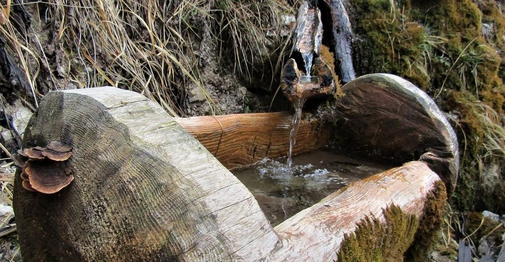
When you finish the tour you can refresh yourself at the starting point – Kamp Lazar.
- Directions
-
From the town of Kobarid, drive towards the village of Drežnica. In front of the Napoleon's Bridge across the Soča River turn to the left towards Kamp Lazar.
- Public transportation
-
There is no public transportation available.
- Parking
-
There is a parking lot available in front of Kamp Lazar.


-

-
AuthorThe tour Along the Soča River through the Kobarid Gorge to the village of Magozd and the Kozjak Waterfall is used by outdooractive.com provided.