
- Brief description
-
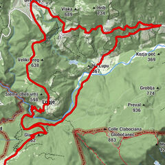
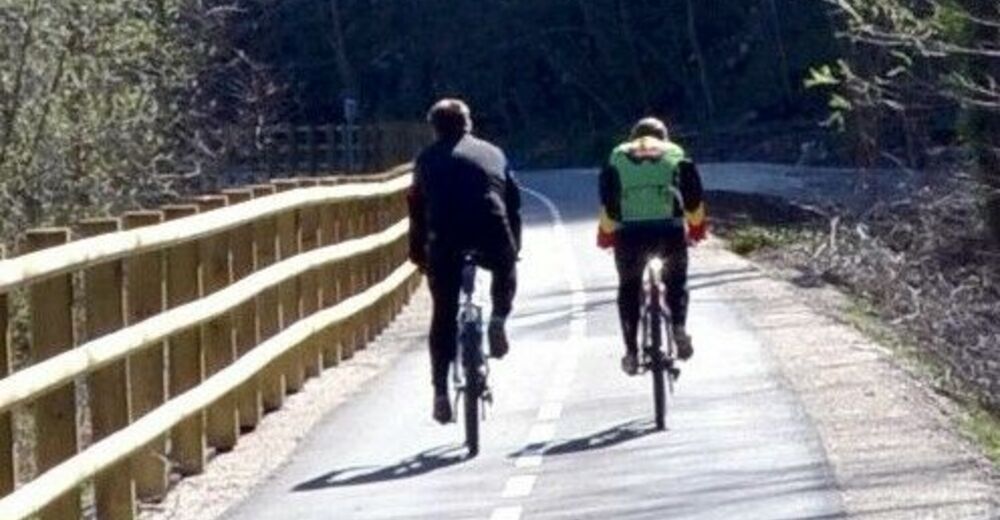
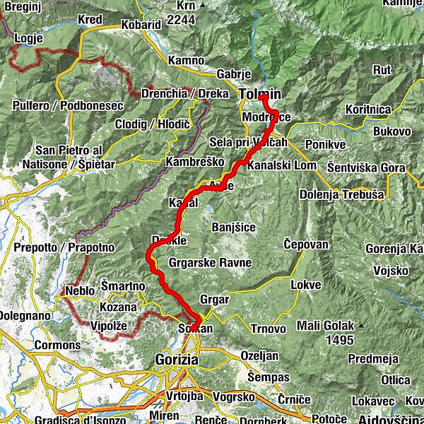
Picturesque and not too demanding Soča River Cycling Trail from the town of Tolmin to the town of Solkan is almost entirely routed along the Bohinj railway.
- Difficulty
-
medium
- Rating
-
- Starting point
-
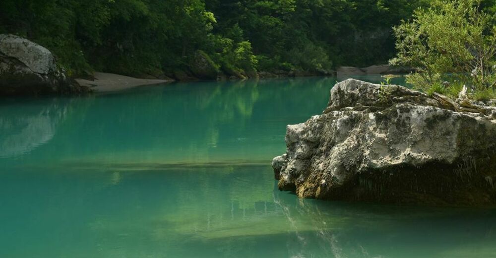
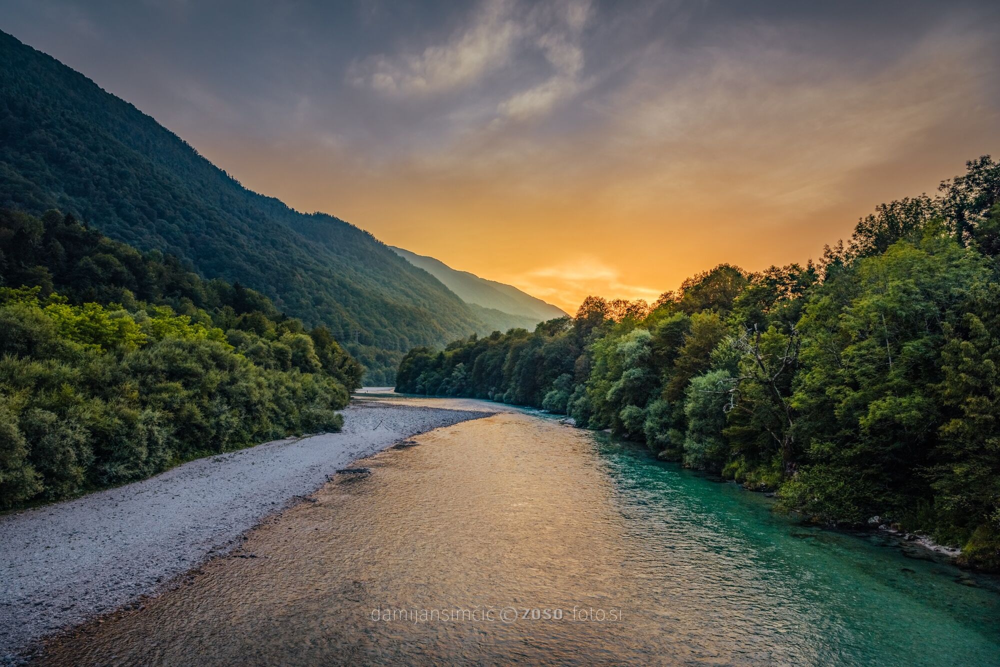
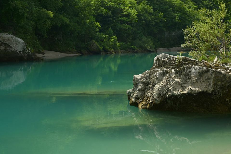
Tolmin, confluence of Soča and Tolminka
- Route
-
TolmeinModrea4.4 kmRestaurant SKRT5.4 kmSanta Lucia5.5 kmKozmerice6.2 kmRuščeva jama (240 m)6.5 kmDrobočnik6.6 kmBabja jama (130 m)10.2 kmDoblar12.6 kmAvče14.9 kmBodres18.6 kmCafe Libero19.7 kmKriznic19.9 kmKanalburg (106 m)20.1 kmCerkev Marije Vnebovzete20.1 kmGoregna di Canale (247 m)20.5 kmMorsko21.5 kmCristinizza21.6 kmRobidni Breg23.7 kmSalona d'Isonzo23.9 kmAnicova23.9 kmDescla24.6 kmLožice25.4 kmPlava27.4 kmGostilna pri Mostu27.5 kmBrilesse28.3 kmSveti Ahac28.9 kmSollingen38.0 km
- Best season
-
JanFebMarAprMayJunJulAugSepOctNovDec
- Description
-
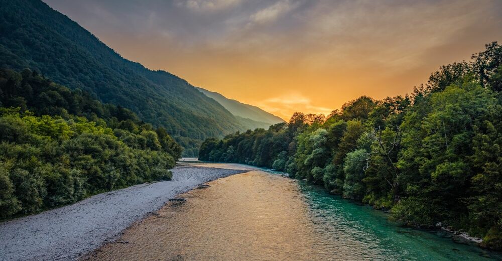
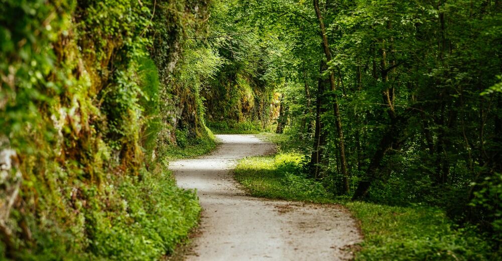
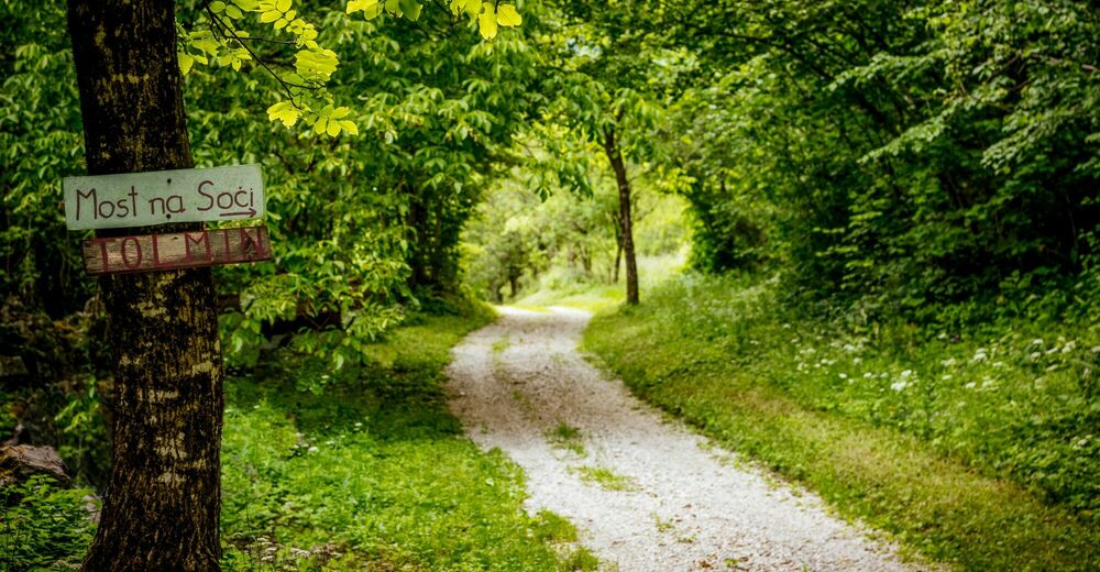
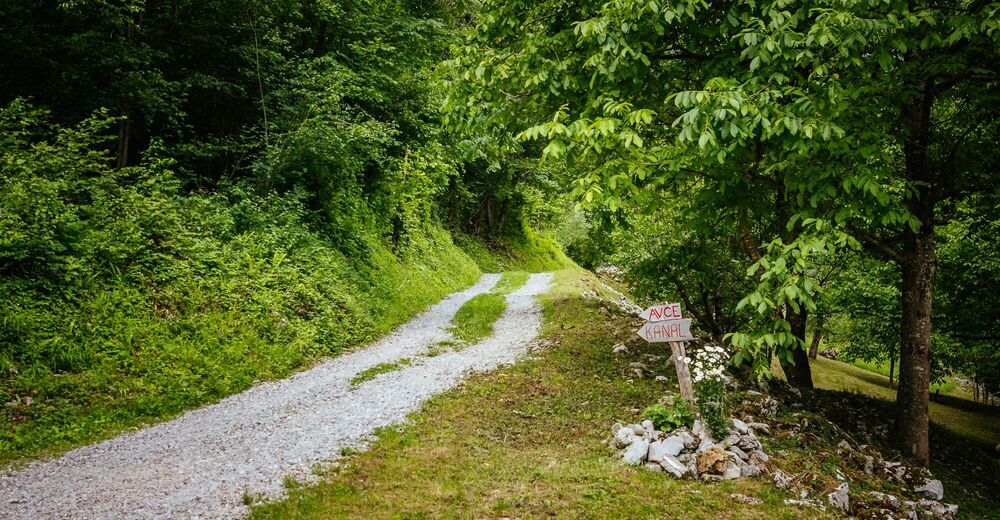
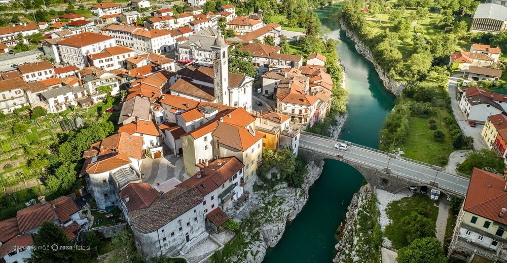
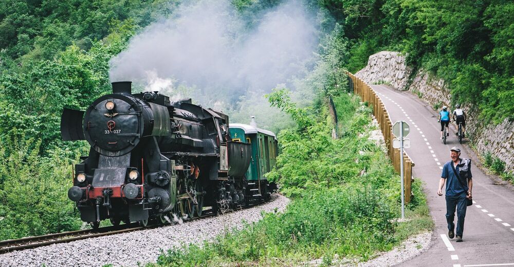
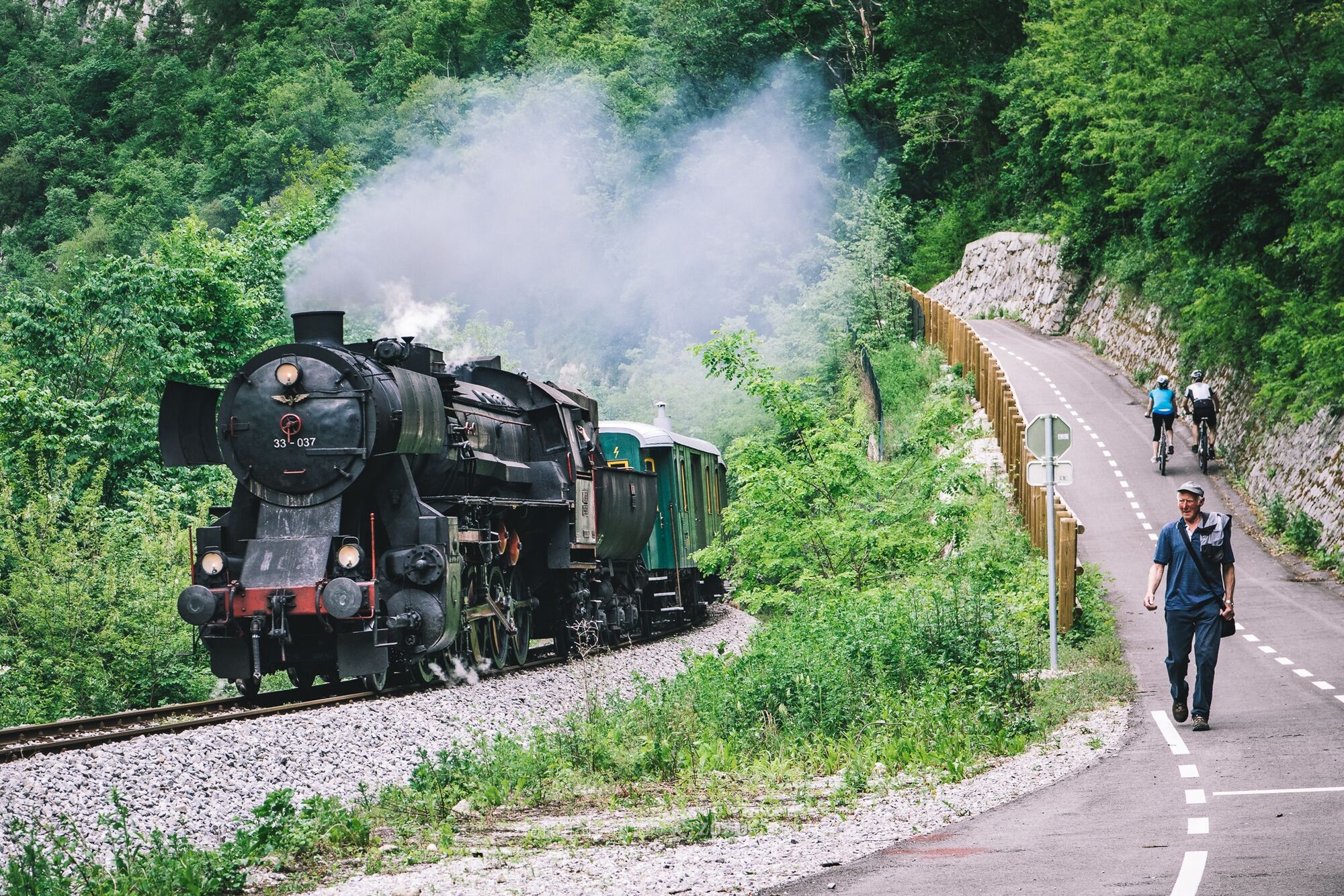
The Soča River Cycling Trail will take you past the natural and cultural sights of the central Soča Valley. The tour starts in one of the finest natural corners of the Tolmin area - the confluence of the rivers Soča and Tolminka. From there it will take you past the village of Most na Soči with its interesting archaeological site and the village of Gorenji Log with its shrine of the Ancient Faith believers Babja jama to the village of Avče where you can find an extremely rare Mediterranean fern called the Venus hair fern (Adiantum capillus veneris). The descent towards the medieval town of Kanal will take you past the "Lourdes of Kanal to the central square with the Neptune Fountain and past the church to the old borough centre with a Gothic House and the Riko Debenjak Gallery. Later on you will have to cross the renowned two-arch stone bridge in Kanal. Before ascending to the village of Gorenja vas you can also visit the local cheese dairy or the Keramost Gallery on the right bank of the Soča River. The last section of the trail between the village of Plave and the town of Solkan will also impress you with splendid views of Mt. Sveta Gora, the stone galleries – masterpieces of the builders of the Bohinj Railway – and the Solkan Bridge.
- Directions
-
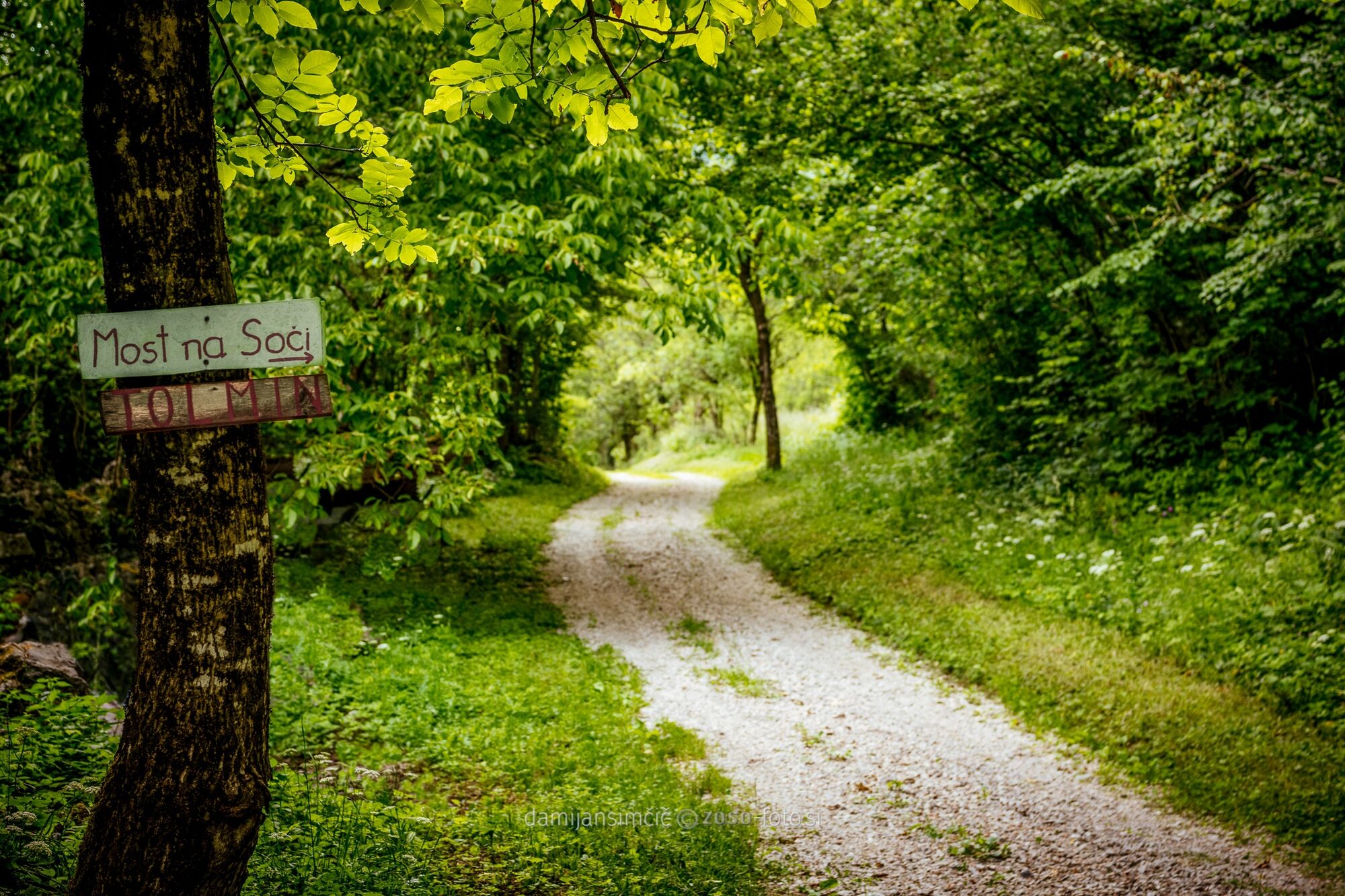
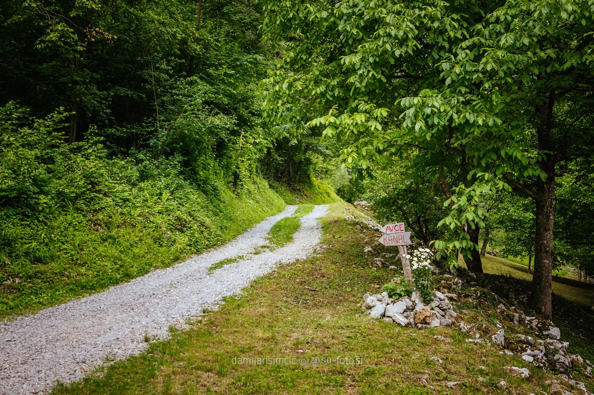
The trail starts in the town of Tolmin at the confluence of the rivers Soča and Tolminka and continues along the cycling trail along the lake to the village of Most na Soči where it turns onto a side road towards the village of Tolminski Lom and crosses the Idrijca River. When you reach the hamlet of Drobočnik, after a short but steep ascent, turn right towards the village of Gorenji Log. Here you will be faced with a somewhat more demanding section of the trail which is routed along a narrow cart track to the village of Avče. This section of the trail is partially routed along gravel trails and is appropriate only for trekking and mountain bikes. We advise you to make the descent to the Vogršček Stream on foot. Descend from Avče along the local road to the town of Kanal where you will have to cross the renowned Kanal Bridge to the right bank of the Soča River and turn towards the village of Gorenja vas. Continue past the villages of Anhovo and Ložice to the village of Plave. When you reach the intersection next to the bridge across the Soča River, turn towards the village of Vrhovlje (Goriška brda Region). Soon after the ascent starts the cycling trail turns left to the Soča River. From here you will be cycling along the cycling trail next to the Soča River and along the Bohinj Railway all the way to the town of Solkan.
- Highest point
- 242 m
- Endpoint
-
Solkan
- Height profile
-
 © outdooractive.com
 - Equipment
-
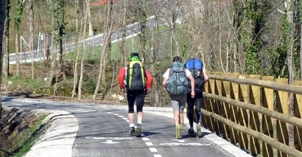
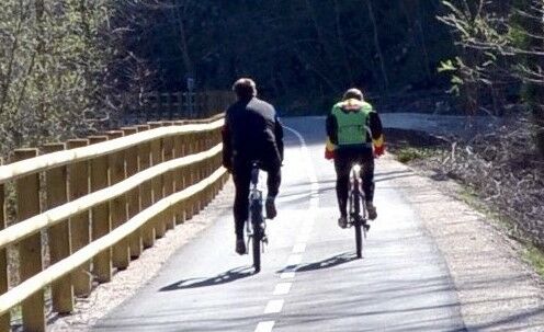
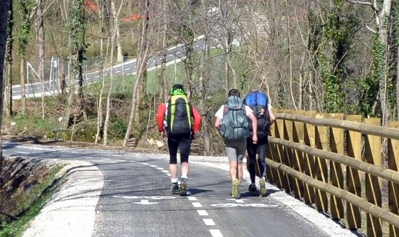
Trekking or mountain bike, protective equipment (helmet, goggles, gloves).
- Safety instructions
-
Certain sections of the trail between Gorenji Log and Avče are routed along gravel roads and are only appropriate for trekking and mountain bikes, which is why we advise you to make the descent to the Vogršček Stream on foot.
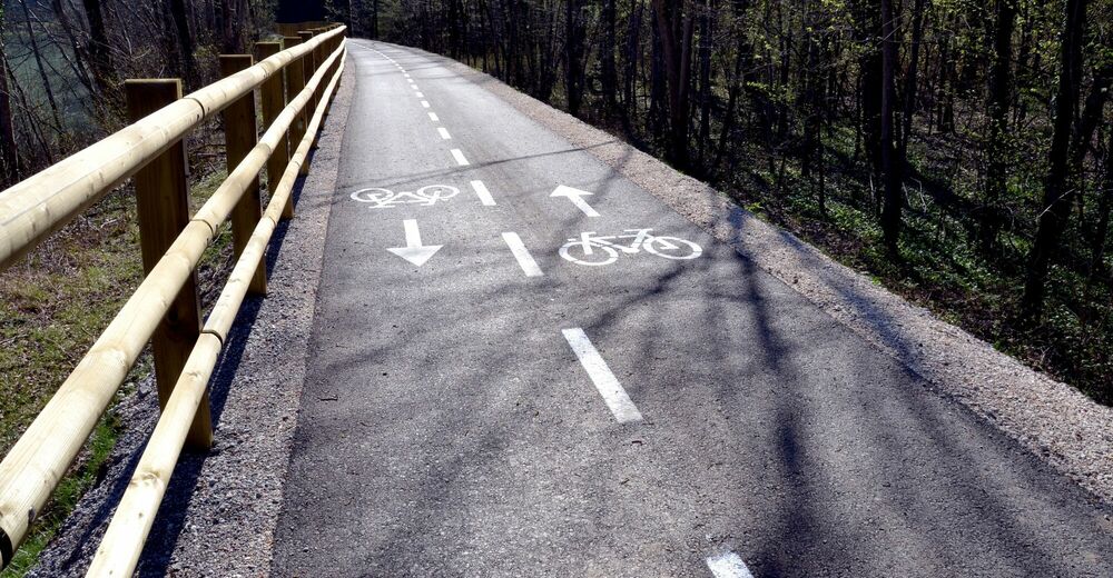
The trail is mostly routed along local roads and only partially along the regional road.
- Tips
-
This tour is also appropriate during the winter months. The section between Plave and Solkan is appropriate for families.
- Additional information
-
- You can return to the starting point by train: Railway stations Solkan, Plave, Anhovo, Kanal, Avče and Most na Soči.
- You can refresh yourself in local inns (Tolmin, Most na Soči, Kanal, Deskle, Ložice, Plave and Solkan).
- During the summer months you can also freshen up in the Soča River along the trail.
- During the summer months the area of the confluence of rivers Soča and Tolminka turns into a popular stage for festivals and other events.
- Directions
-
Tolmin
- along the regional road Nova Gorica-Tolmin;
- along the regional road Bovec-Tolmin;
- along the regional road Idrija-Tolmin;
- by train to Most na Soči (from Nova Gorica or Jesenice) and further by bus or bicycle to Tolmin.
- Public transportation
- Parking
-
Parking is available:
- at the parking lot at the confluence of the rivers Soča and Tolminka,
- at the parking lot at the Most na Soči Railway station,
- at the parking lot in Solkan in front of the road bridge across the Soča River.


- Author
-
The tour Soča River Cycling trail is used by outdooractive.com provided.


General info
-
Brda
29
-
Most na Soči
15