Tour across the Šentviška planota Plateau – an oasis of peace and beauty


- Brief description
-
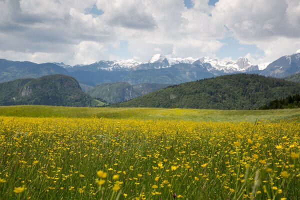
At an altitude of 700-900 metres, between the Bača and Idrijca rivers, there is a plateau where you can find food your body and soul. The Šentviška planota Plateau is an oasis of peace, intact nature and kind people.
- Difficulty
-
medium
- Rating
-
- Starting point
-
Most na Soči
- Route
-
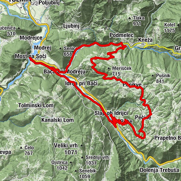
Pizzerija Jezero0.0 kmRestaurant SKRT0.1 kmSanta Lucia0.3 kmGostilna s prenočišči "Pri Štefanu"1.6 kmPostaja1.7 kmBaccia2.4 kmPiedimelze6.9 kmKlavže7.0 kmLogaršče10.8 kmPaniqua14.9 kmPečine18.4 kmRoče21.9 kmSlap ob Idrijci24.7 kmIdrija pri Bači28.7 kmBaccia29.9 kmMost na Soči30.6 kmPostaja30.6 kmSanta Lucia31.9 kmRestaurant SKRT32.3 km
- Best season
-
JanFebMarAprMayJunJulAugSepOctNovDec
- Description
-
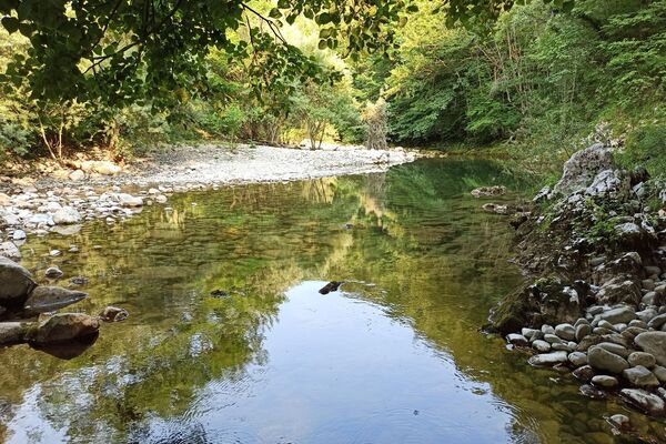
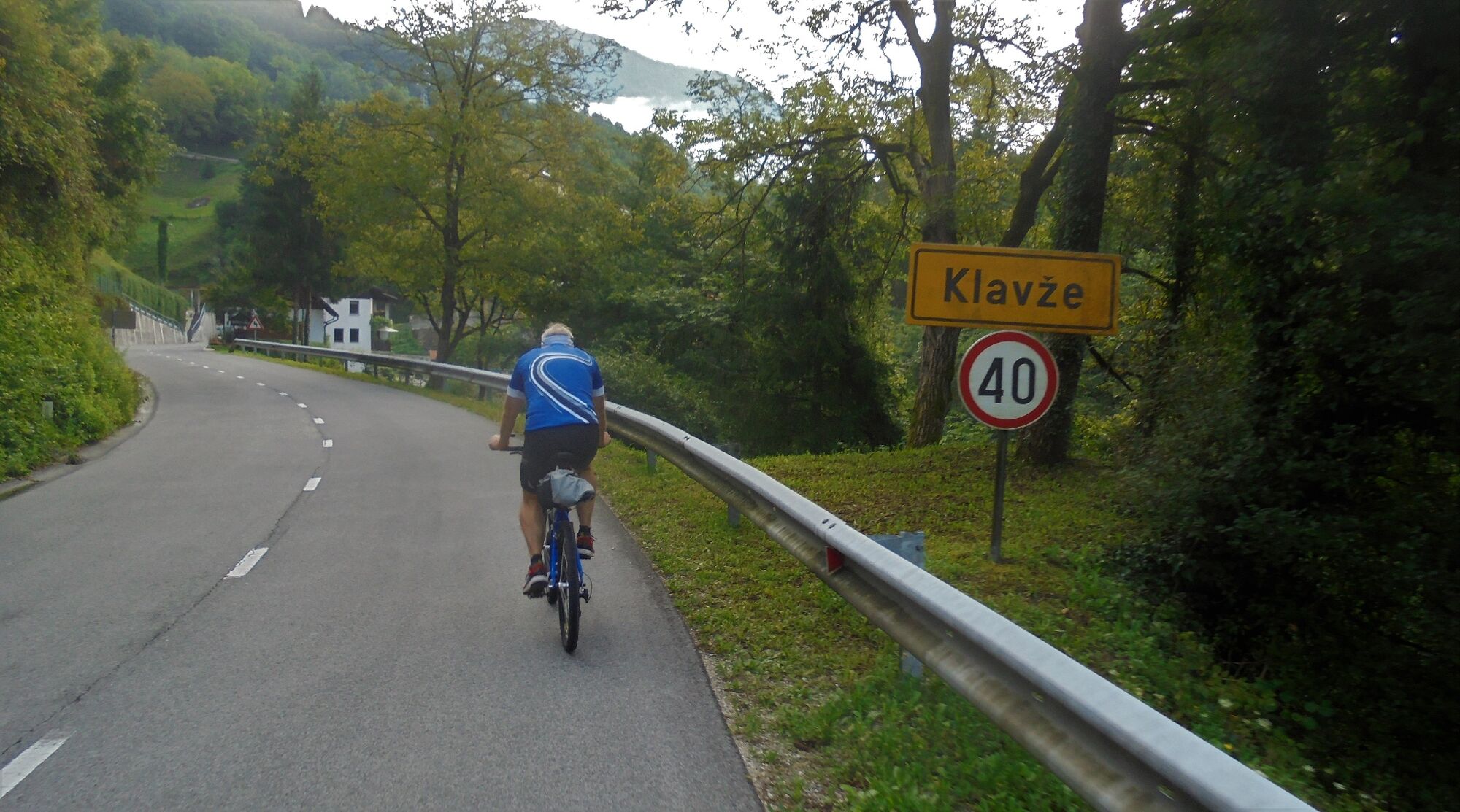
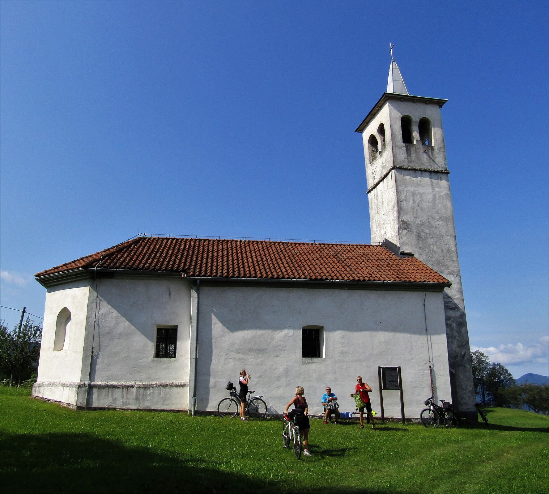
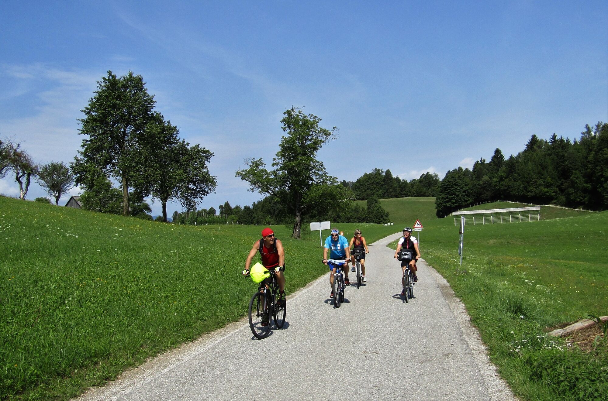
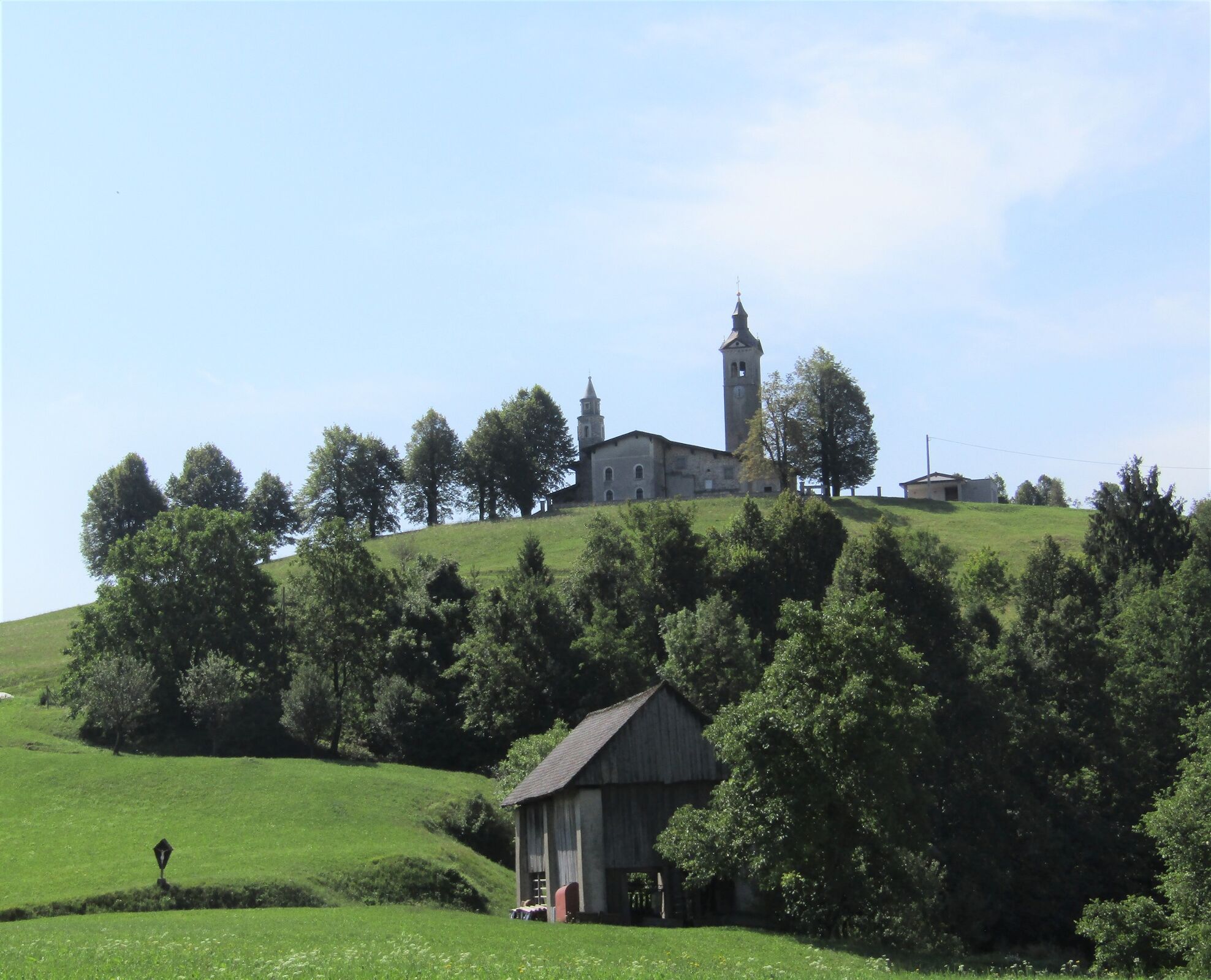
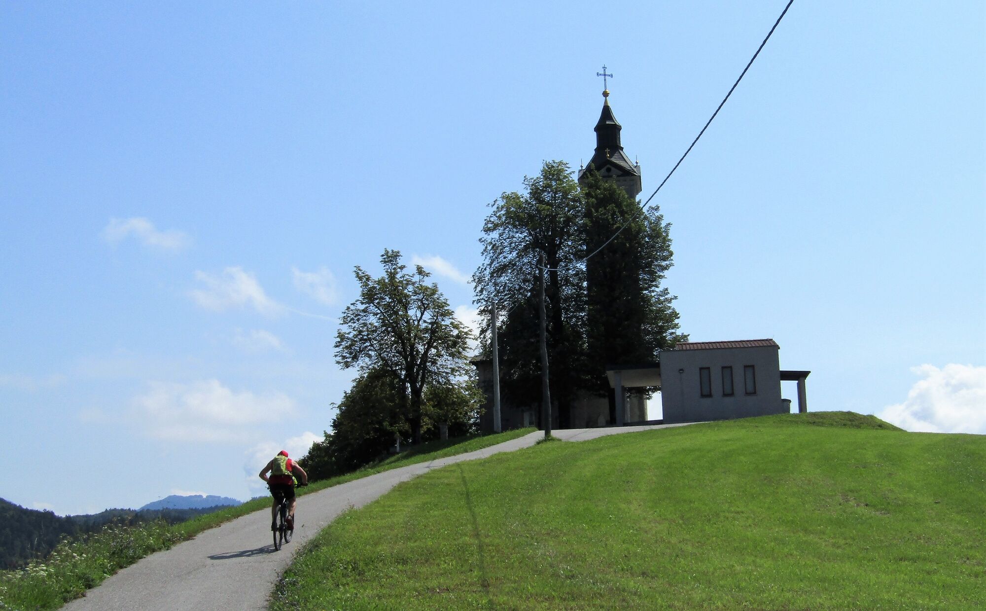
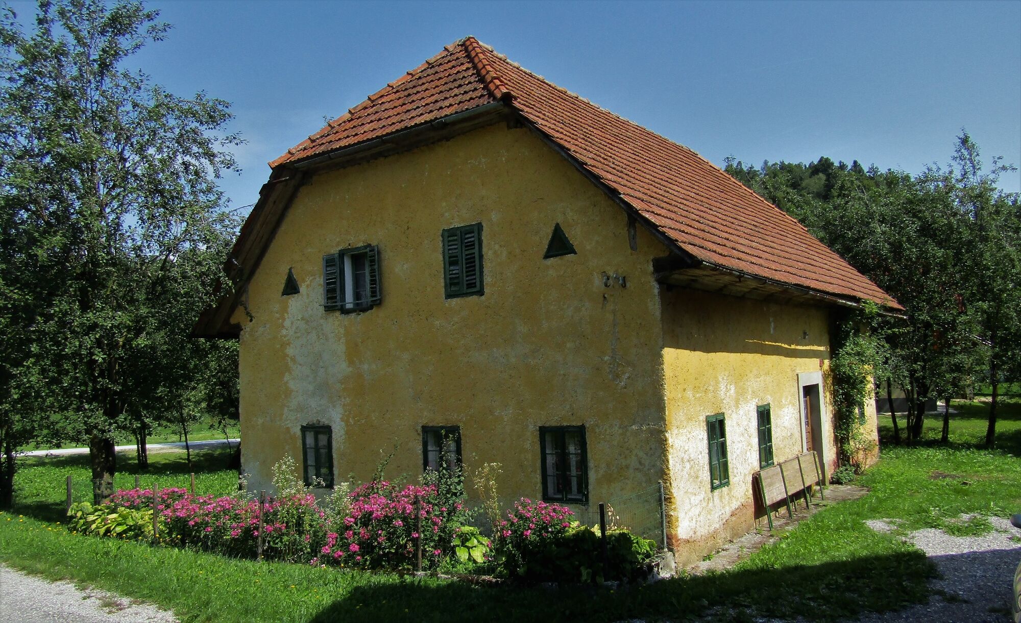
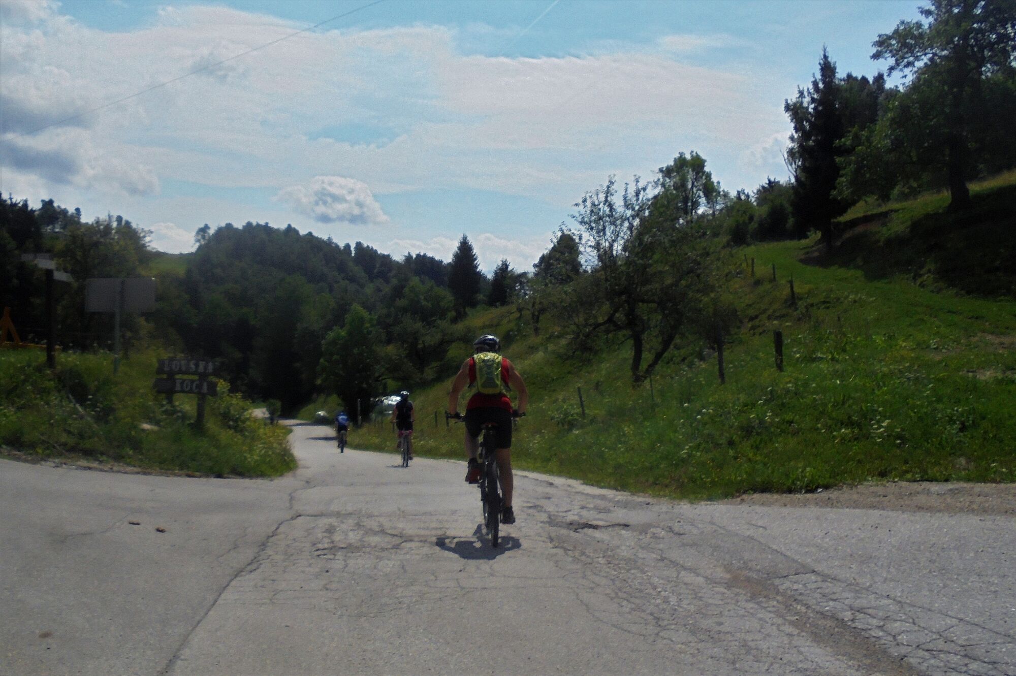
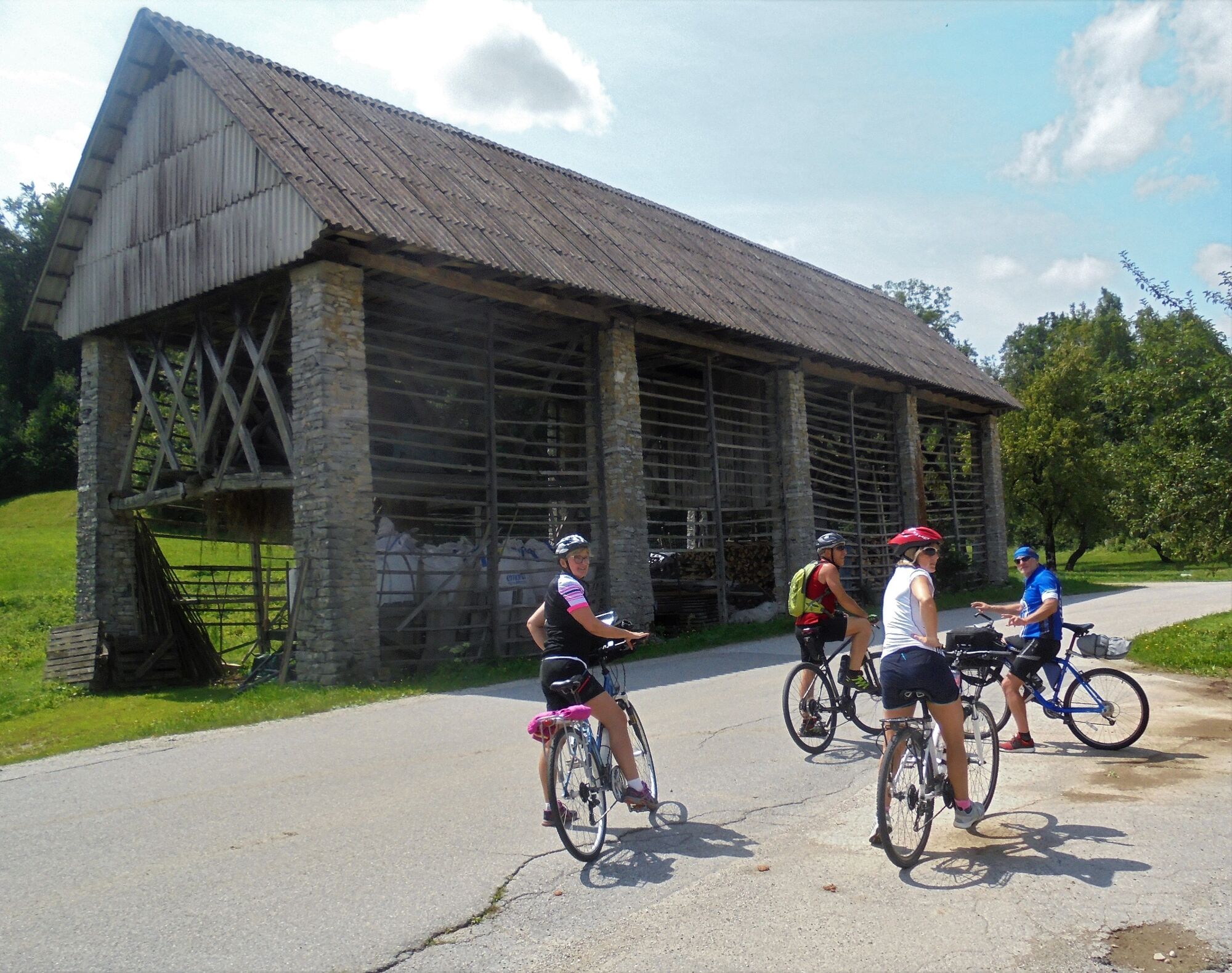
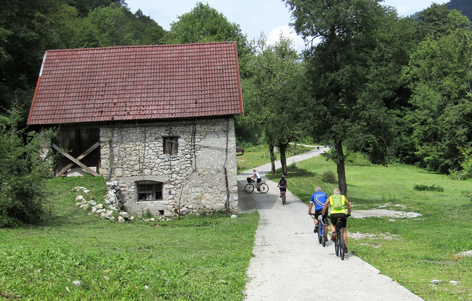
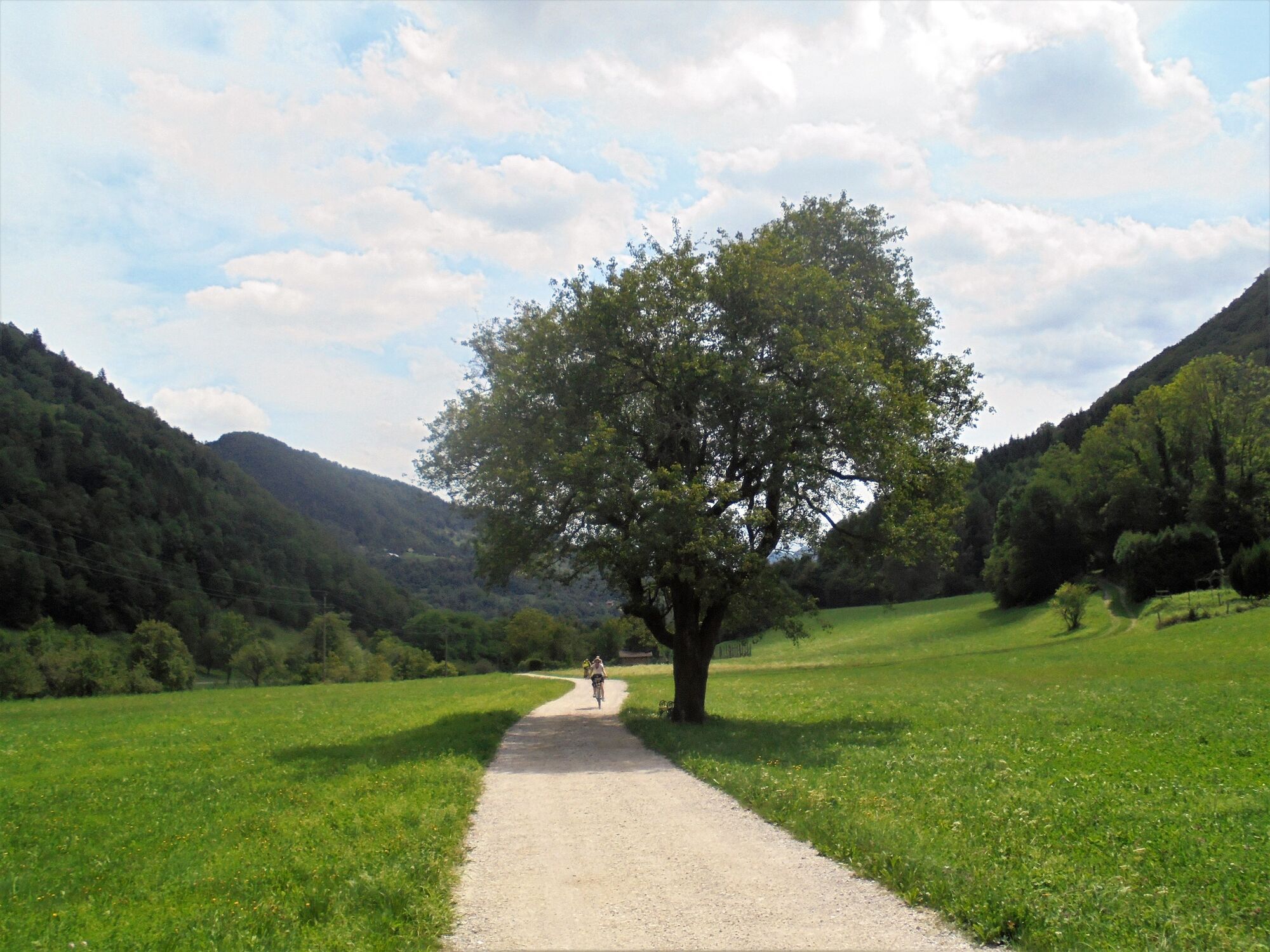
From the town of Most na Soči to the village of Klavže you have to drive along a narrow and busy road, however, from Klavže to the Šentviška planota Plateau, you have the road practically for yourself. The narrow and winding road to the village of Logaršče is routed through a shady forest, which is why you will be protected from the scorching heat. After ascending for approximately 4 km, the terrain levels up and the road goes up and down the terrain across the plateau all the way to the village of Ponikve, which is the first of the major destinations of this tour. In Ponikve, it is almost mandatory to visit the renowned Plečnik’s church located on a small rising above the village where marvellous views open to all four directions. Due to the beautiful surrounding environment and quietness, which is almost forgotten in the valley, it will be quite difficult for you to leave this sightseeing point and continue through the village towards the village of Pečine. Along the road, you can admire the façades of old houses decorated with flowers of all colours and the renowned drying-frames with unusual masonry columns. You can especially enjoy in the quietness and the greenness of the plateau. From Pečine you descend towards the village of Slap ob Idrijci. Here, you cross the river and continue back to the starting point along a nicely routed Kosmač Educational Trail.
- Directions
-
From Most na Soči, follow the road into the Baška grapa Valley. In front of the water barrier in Klavže, turn to the right towards Logaršče.
On the Šentviška planota Plateau, start following the signs for Ponikve, Pečine and Slap ob Idrijci.
- Highest point
- 695 m
- Endpoint
-
Ponikve
- Height profile
-
 © outdooractive.com
 - Equipment
-
The majority of the tour is routed along paved roads, and just a small section follows gravel roads. It is appropriate for trekking as well as mountain biking.
- Safety instructions
-
The ascent from Klavže across the plateau and the descent to Slap ob Idrijci is routed along a low-traffic road. The only busier section of the tour is the section from the starting point to Klavže.
- Tips
-
While following this trail, you will have a chance to visit the birth house of Ciril Kosmač (turn left after crossing the bridge across the Idrijca River).
- Additional information
-
In Logaršče, you can find a sightseeing point next to the Church of St. Lucy.
In the village of Roče, you can visit the grave of the author Ciril Kosmač, whilst in the valley, you can visit his birth house.
- Directions
-
You can also drive to Most na Soči from Tolmin, Nova Gorica or Idrija.
- Public transportation
-
You can take a train to Most na Soči from Nova Gorica or Jesenice.
- Parking
-
Parking is available at public parking lots in Most na Soči or at a free parking lot at the Most na Soči Railway station.


-

-
AuthorThe tour Tour across the Šentviška planota Plateau – an oasis of peace and beauty is used by outdooractive.com provided.


General info
-
Goriška
35
-
Most na Soči
15