Ajdovski gradec – an archaeological site near Bohinjska Bistrica


- Brief description
-
An easy walk through Bohinjska Bistrica and an easy climb to a hill with a rich history where you will learn about the past of this area.
- Difficulty
-
easy
- Rating
-
- Starting point
-
Bohinj TIC, Bohinjska Bistrica
- Route
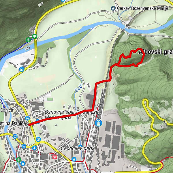
-
Wochein Feistritz0.1 kmAjdovski gradec1.3 km
- Best season
-
JanFebMarAprMayJunJulAugSepOctNovDec
- Description
-
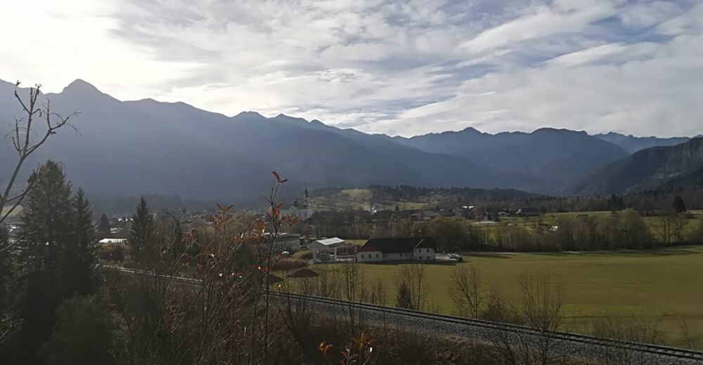
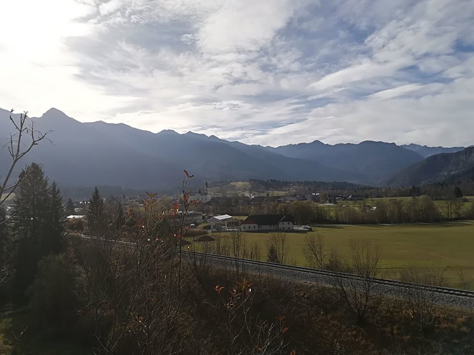
Ajdovski gradec is the name of an ancient settlement on a hill east of Bohoinjska Bistrica. It was settled for more than 1000 years – from the Early Iron Age to the fall of the Roman Empire. Houses were built on artificially levelled terraces, foundries were protected with stone walls.
Ajdovski gradec is a Slovenian symbol of independence and the freedom of the Slovenian nation, which was featured by the greatest Slovenian poet France Prešeren in his poem The Baptism at the Savica. It is an ancient archaeological site, representing the primary settlement of miners and iron workers in the late Iron Age from 700 to 300 BC. It was also populated in the Roman times (around 500 AD) There are still remains of building foundations, foundries and iron melting areas.
The epic poem The Baptism at the Savica written by the greatest Slovenian poet, France Prešeren, is also related to Ajdovski gradec.
The warring clouds have vanished from the skies;
The war of men has ended with the night.
The morning sun gilds the tree heads that rise
Supreme above the Carniola's snowpeaks white.
The lake of Bohinj calm in stillness lies,
No sign of strife remains to outward sight;
Yet in the lake the fierce pike never sleep,
nor other fell marauders of the deep.
- Directions
-
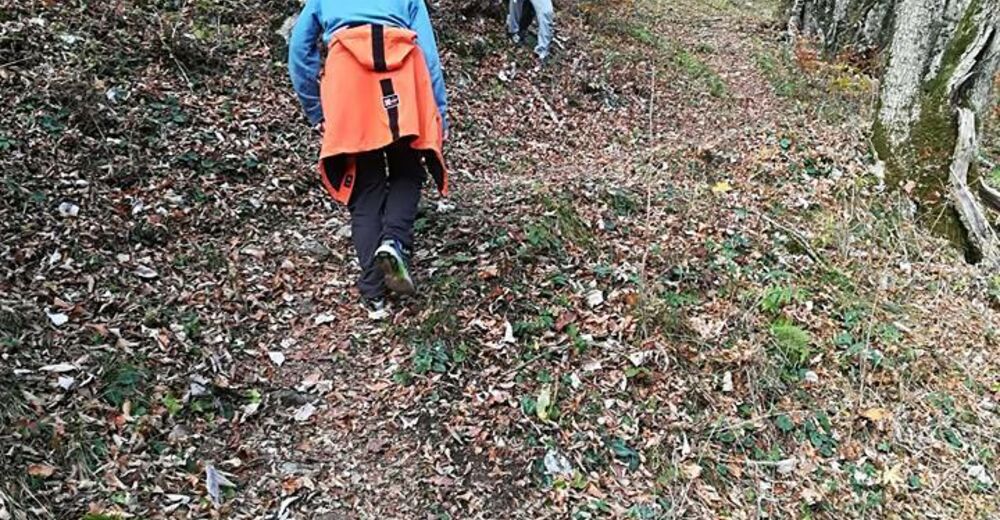
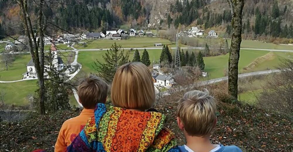
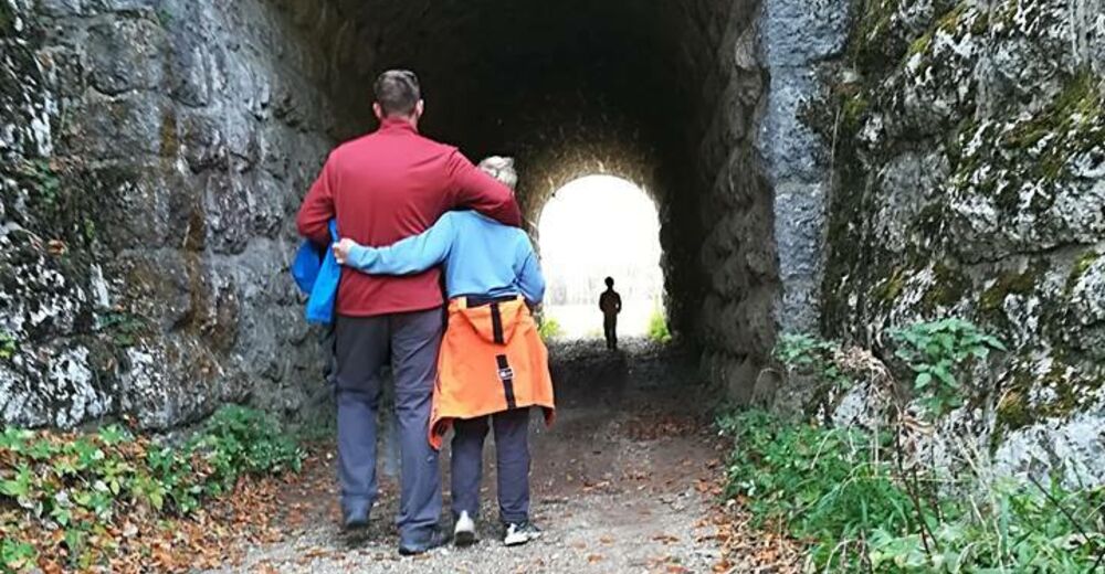
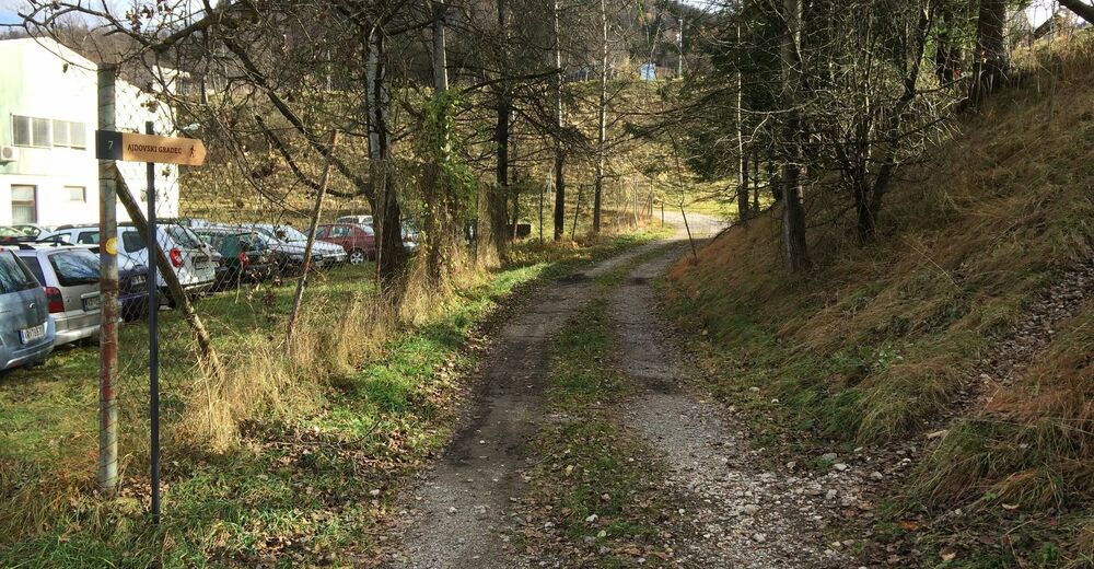
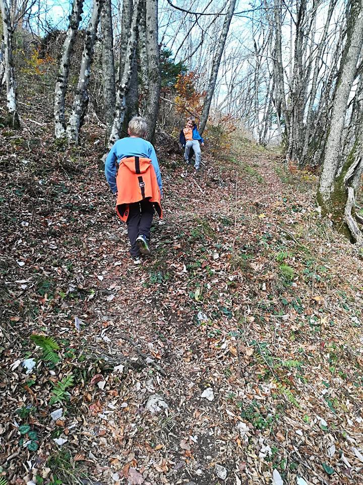
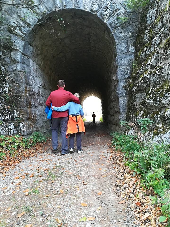
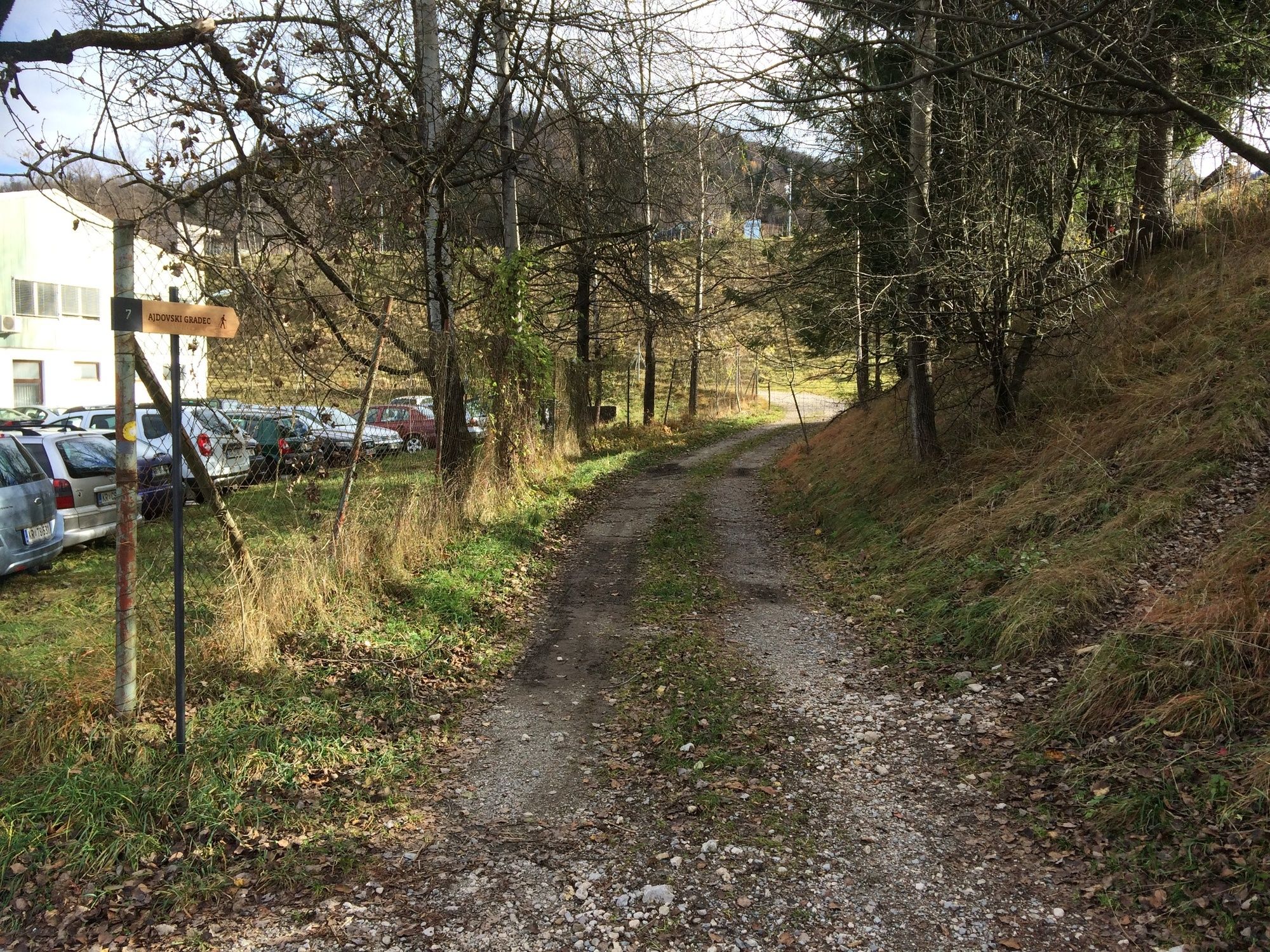
Start at the TIC, cross the main road and continue past the Church of St Nicholas. At the Venturia, d.o.o. company turn left onto a macadamised path. This path leads you along the factory to a tunnel under the railway. When you come through the underpass, turn left, cross a small brook and climb along the forest path to the top of the hill. At first glance, Ajdovski gradec seems like a non-important small hill, but it has a rich past. Return along the south way.
- Highest point
- 567 m
- Endpoint
-
Bohinj TIC, Bohinjska Bistrica
- Height profile
-
 © outdooractive.com
 - Equipment
-
Hiking shoes and clothes.
- Safety instructions
-
A part of the trail runs on the local road, so caution is necessary.
- Tips
-
Don’t forget to bring your camera!
- Additional information
-
Information:
Turizem Bohinj, Stara Fužina, tel.: +386 4 57 47 590
TIC Bohinj, Ribčev Laz, tel.: +386 4 574 60 10
TIC Bohinj, Bohinjska Bistrica, tel.: +386 4 574 76 00
TIC Bohinj, Stara Fužina, tel.: +386 4 572 33 26
TNP Bohinj Centre, Stara Fužina, tel.: +386 1 200 97 60
Julian Alps:Bohinj Card offers free transport and other benefits.
There are also many restaurants and inns available in Bohinjska Bistrica. Bohinj ECO Hotel, Tripič Restaurant, Danica Inn, Štrudl Inn and Sunrose 7 – Heritage Boutique Hotel all offer dishes with the Bohinjsko/From Bohinj certificate.
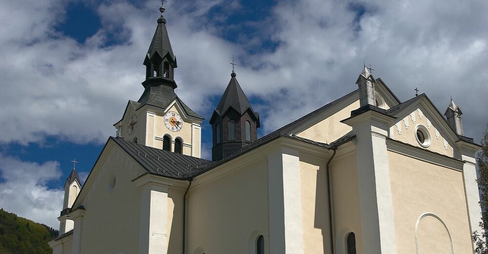
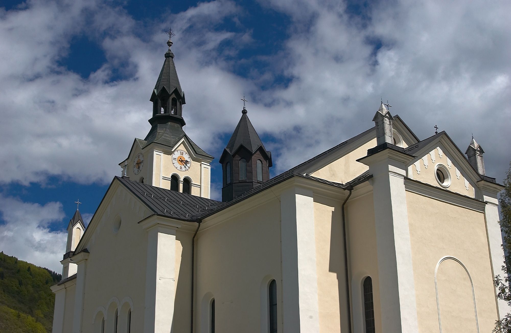
The parish Church of St Nicholas was first mentioned in 1689. This was initially a Baroque building and was renovated at the end of the 19th century in new Romanesque and new Renaissance style. Wall paintings by Matija Koželj are a special feature of the church. The church also displays bust statue of priest Janez Krstnik Mesar, the builder of the church and the initiator of organised cheese production in Bohinj.
- Directions
-
Drive by car to Bohinjska Bistrica from Bled, through Soteska or over Pokljuka. You can also access the village across Jelovica and Soriška planina.
- Public transportation
- Parking
-
You can park at the car park P13 Bohinjska Bistrica-Danica that is near the trailhead (coordinates: 46.273515, 13.948998)

- Author
-
The tour Ajdovski gradec – an archaeological site near Bohinjska Bistrica is used by outdooractive.com provided.