


- Brief description
-
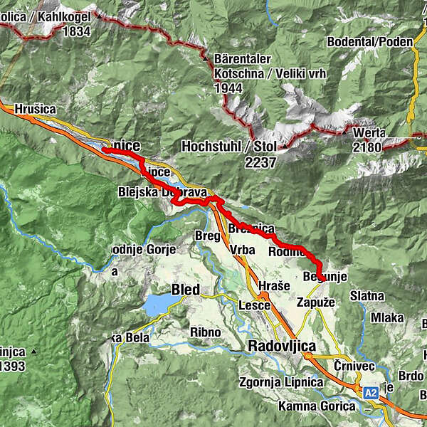
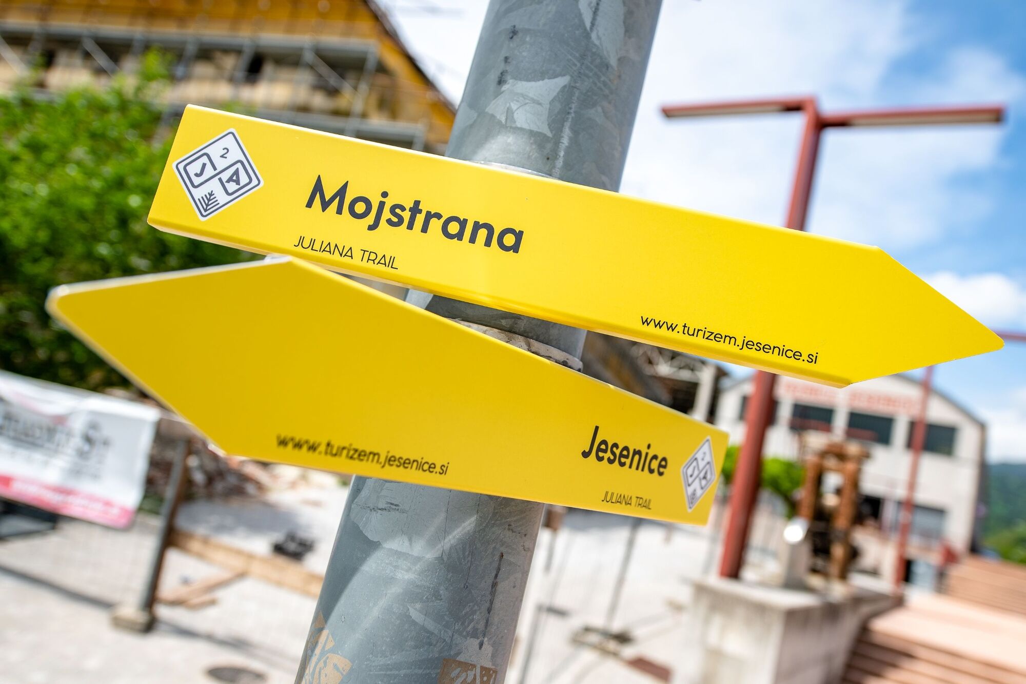
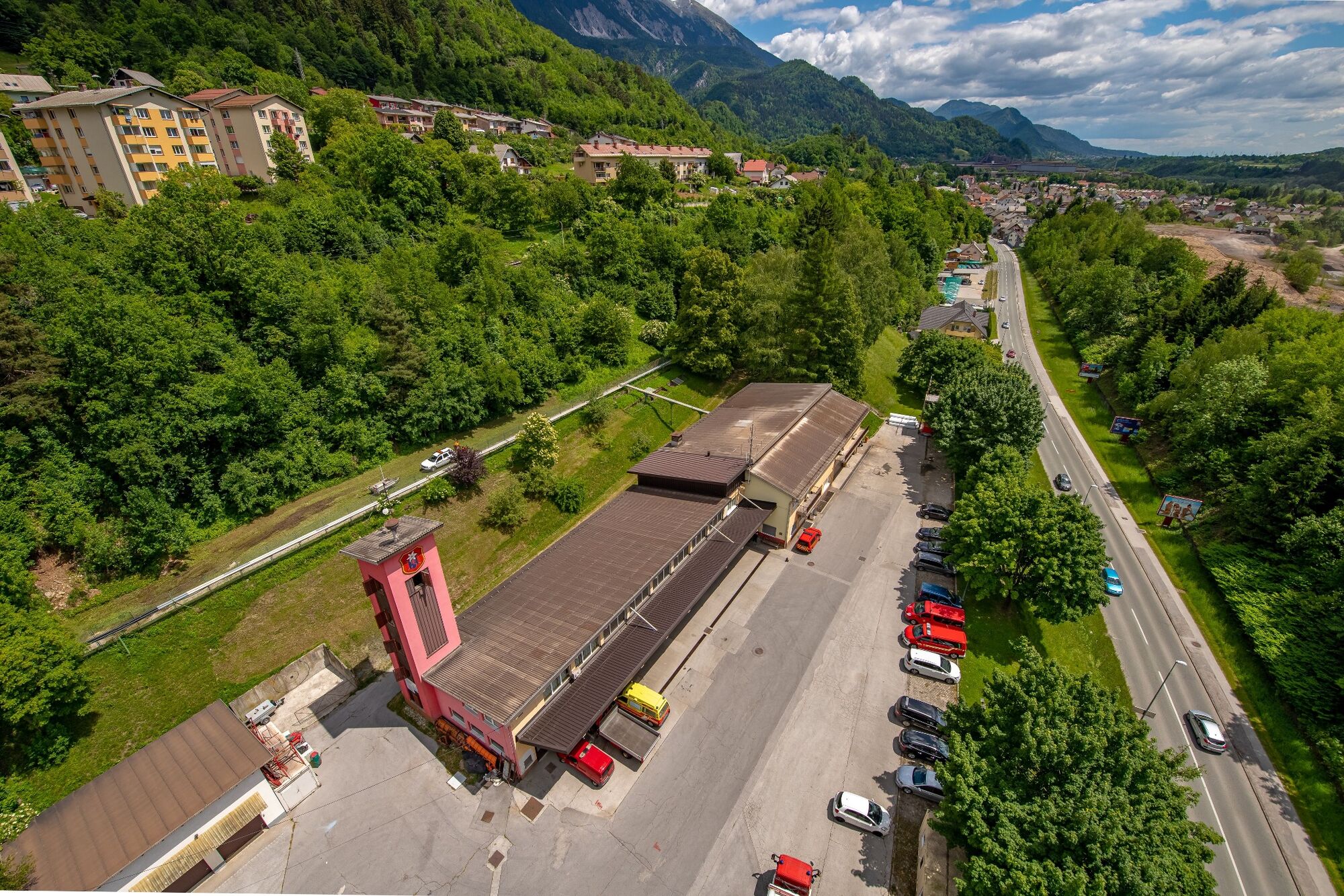
Stage 3 starts in the ironworks city of Jesenice, over Dobraško polje and over the Sava Dolinka River to the villages beneath Stol, where the attractions are mostly based on culture and beekeeping products. The stage ends in Begunje.
- Difficulty
-
medium
- Rating
-
- Starting point
-
Railway station in Jesenice.
- Route
-
Cerkev Marijinega vnebovzetjaJesenice (576 m)0.5 kmKazina0.6 kmSlovenski Javornik2.2 kmLipce3.6 kmBlejska Dobrava4.2 kmMoste8.2 kmScheraunitz (558 m)9.1 kmSelo pri Žirovnici10.1 kmZabreznica10.5 kmBreznica11.3 kmDoslovče12.1 kmSmokuč12.9 kmSankaška koča14.8 kmSveti Peter15.2 kmPoljče16.3 kmGostilna Avsenik16.6 kmBegunje (577 m)16.6 km
- Best season
-
JanFebMarAprMayJunJulAugSepOctNovDec
- Description
-
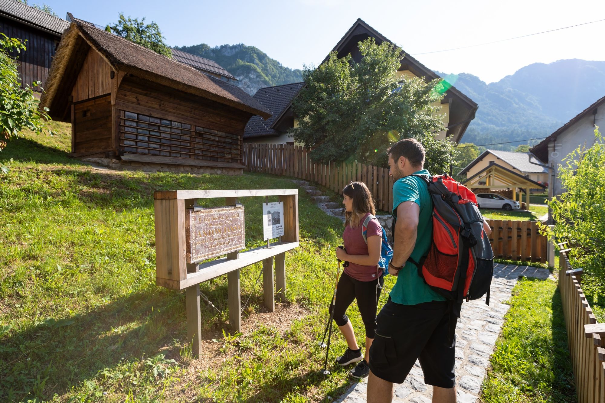
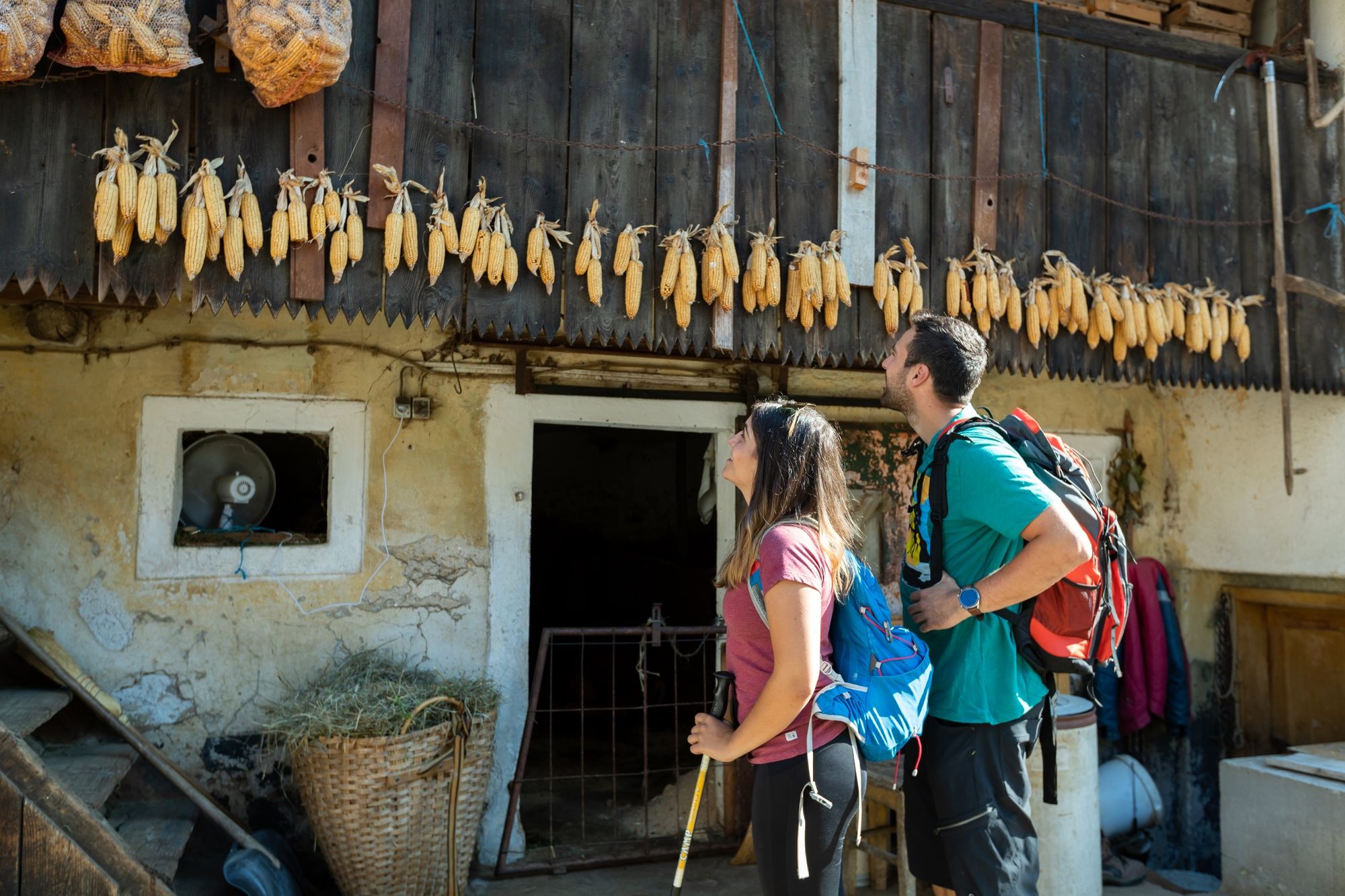
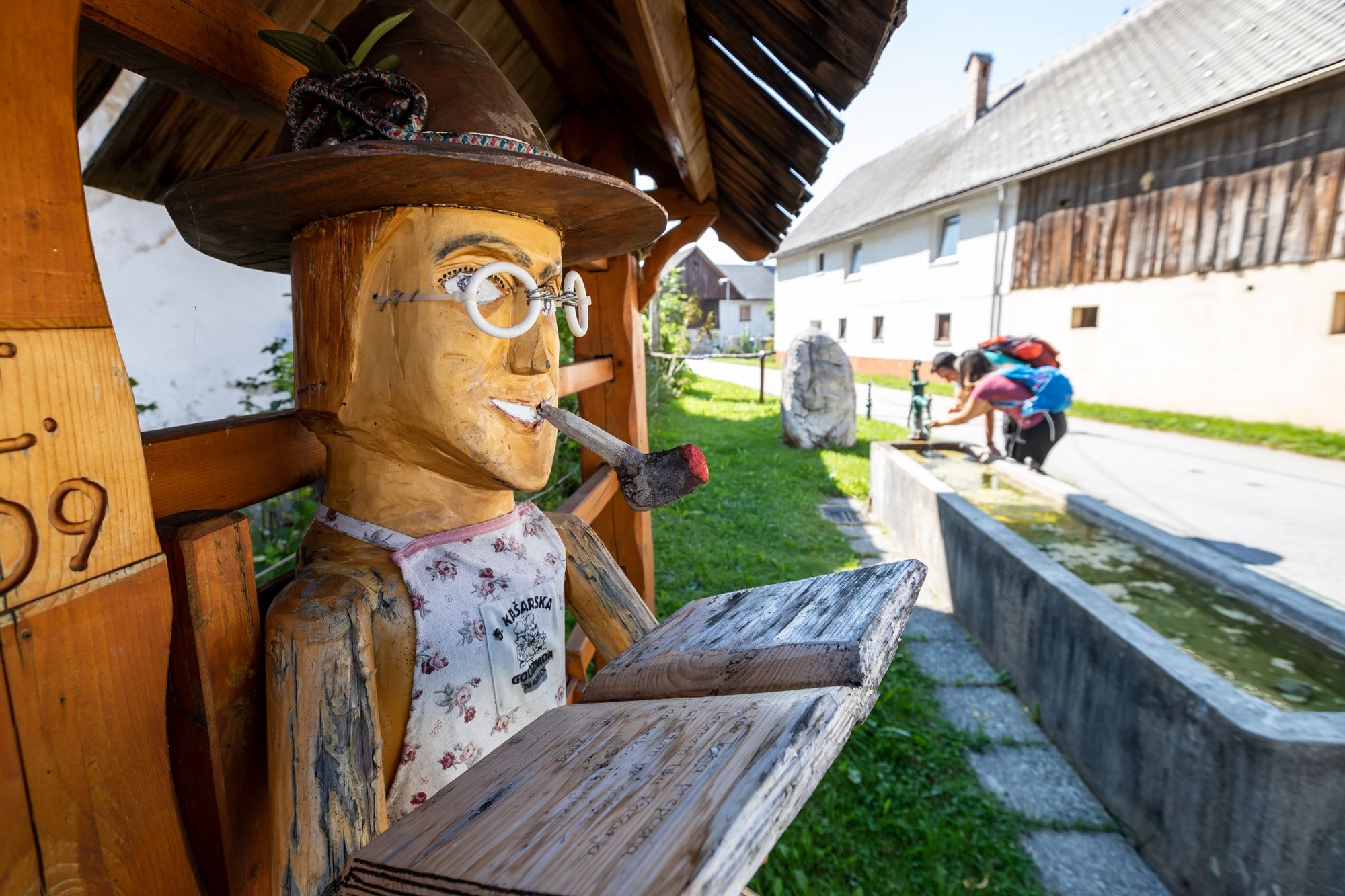
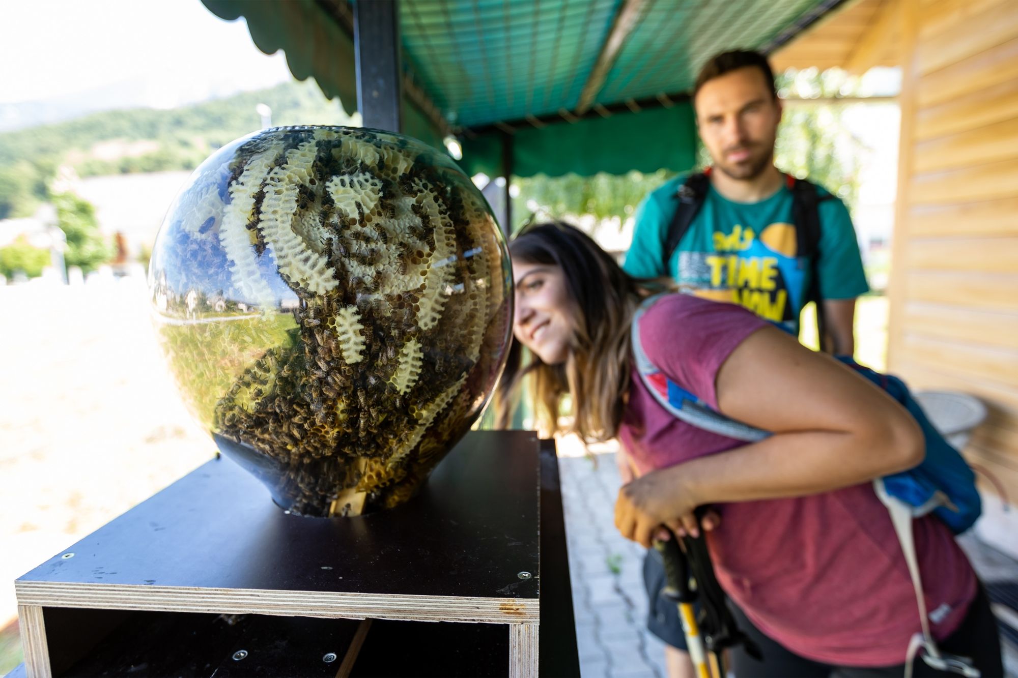
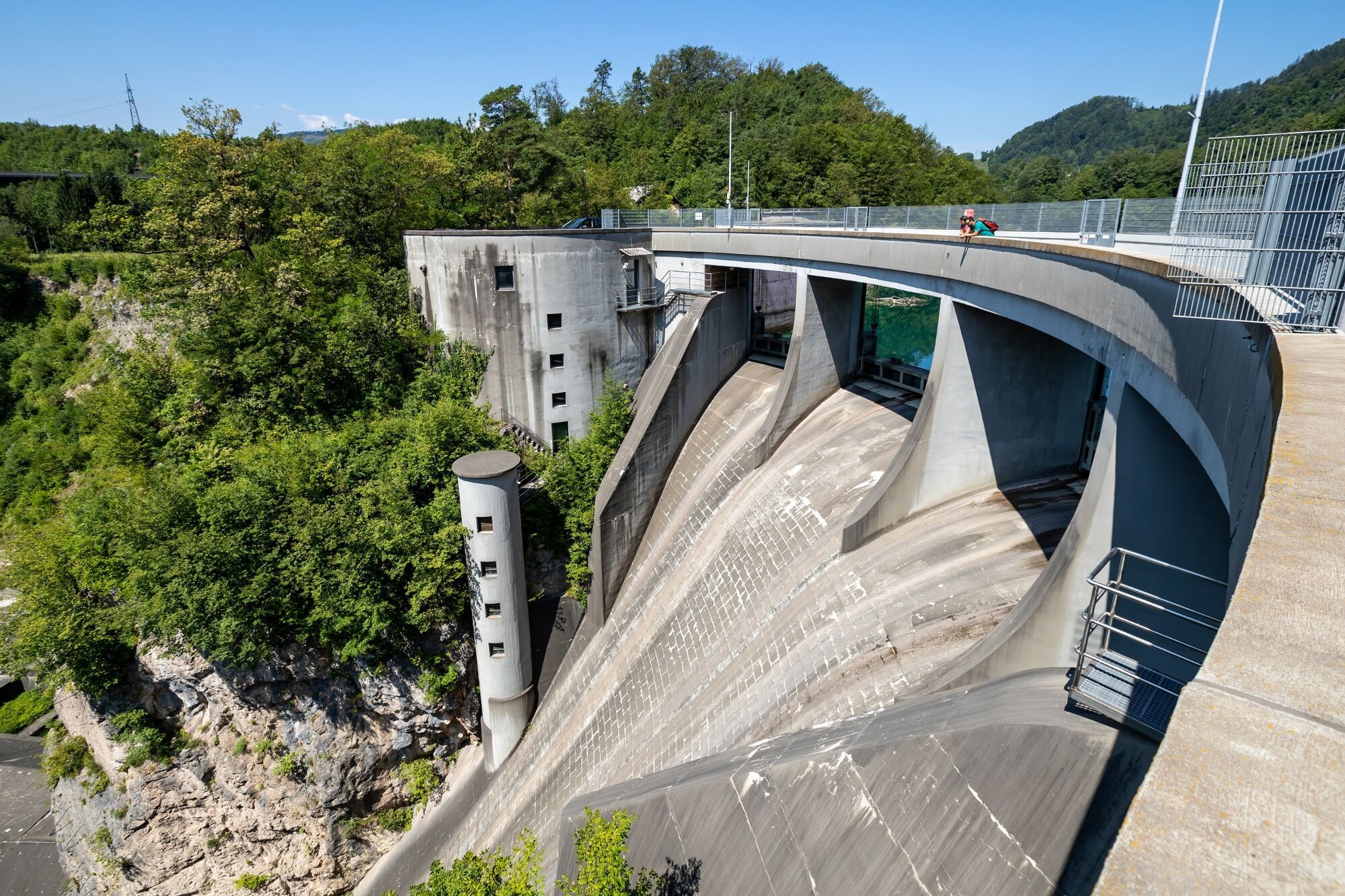
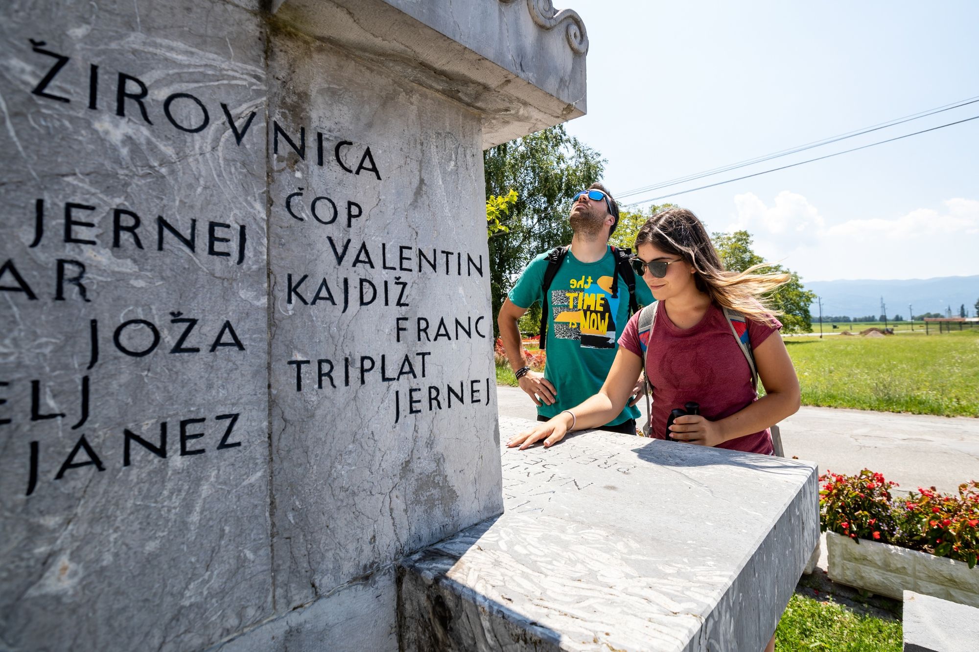
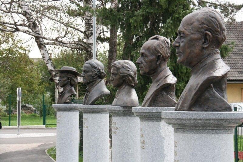
Start at the railway station in Jesenice and continue through the newer and older parts of the city, through Stara Sava and on the sunny side of the city towards the east to Slovenski Javornik, where you cross the Sava Dolinka River and come to its right bank. This part of the trail is distinguished by a completely different landscape: meadows and grassland as well as the exceptionally beautiful Dobravško polje field. The trail also runs over the of area Kavčki, which is now built by the high concrete dam of Moste hydropower plant. The trail continues through the villages beneath Stol, from Žirovnica to Rodine, which are connected by cultural heritage and the birthplaces of famous Slovenian writers and poets (Prešeren, Finžgar, Jalen), the area is well known for beekeeping beginners (Janša's beehive).
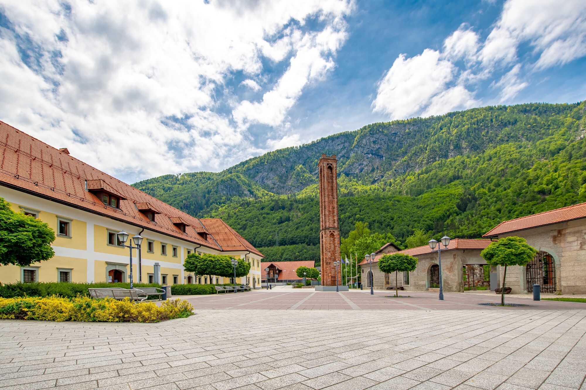
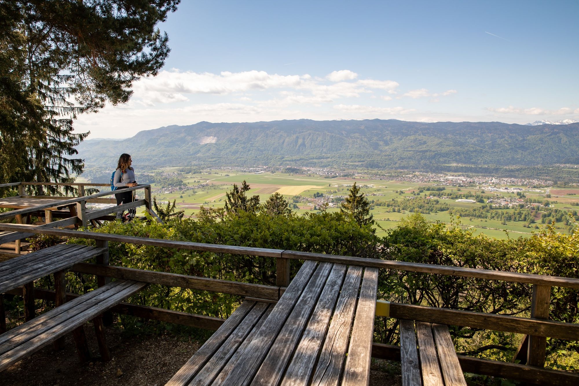
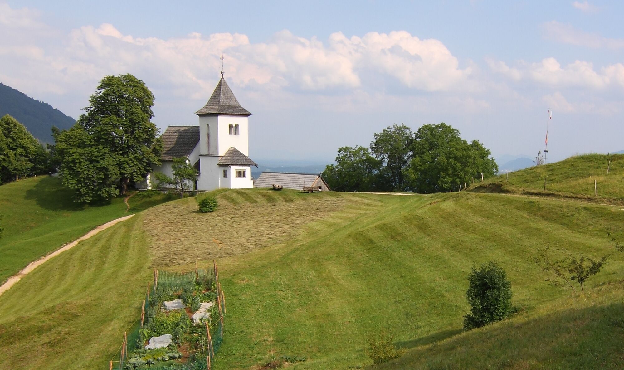
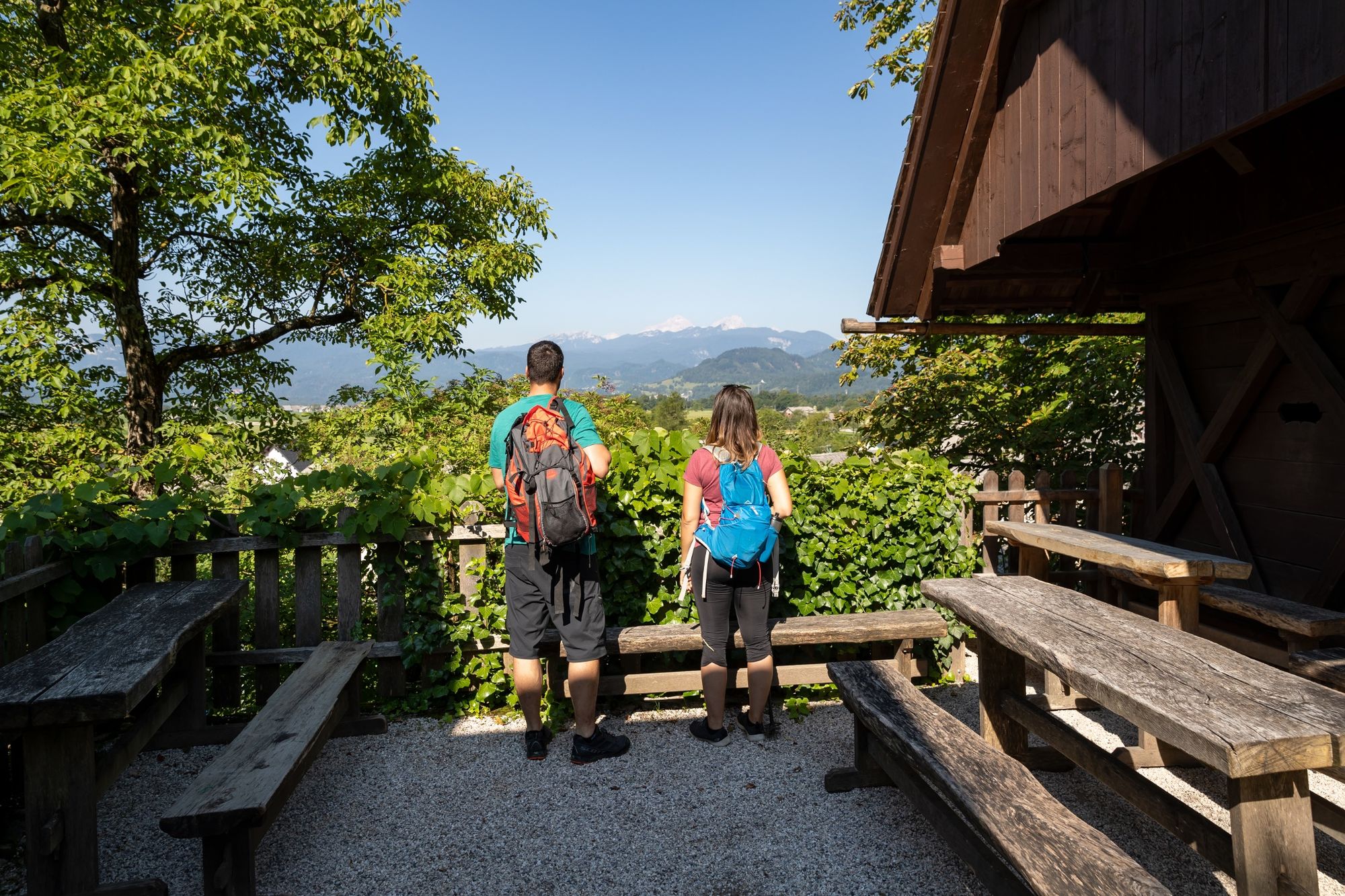
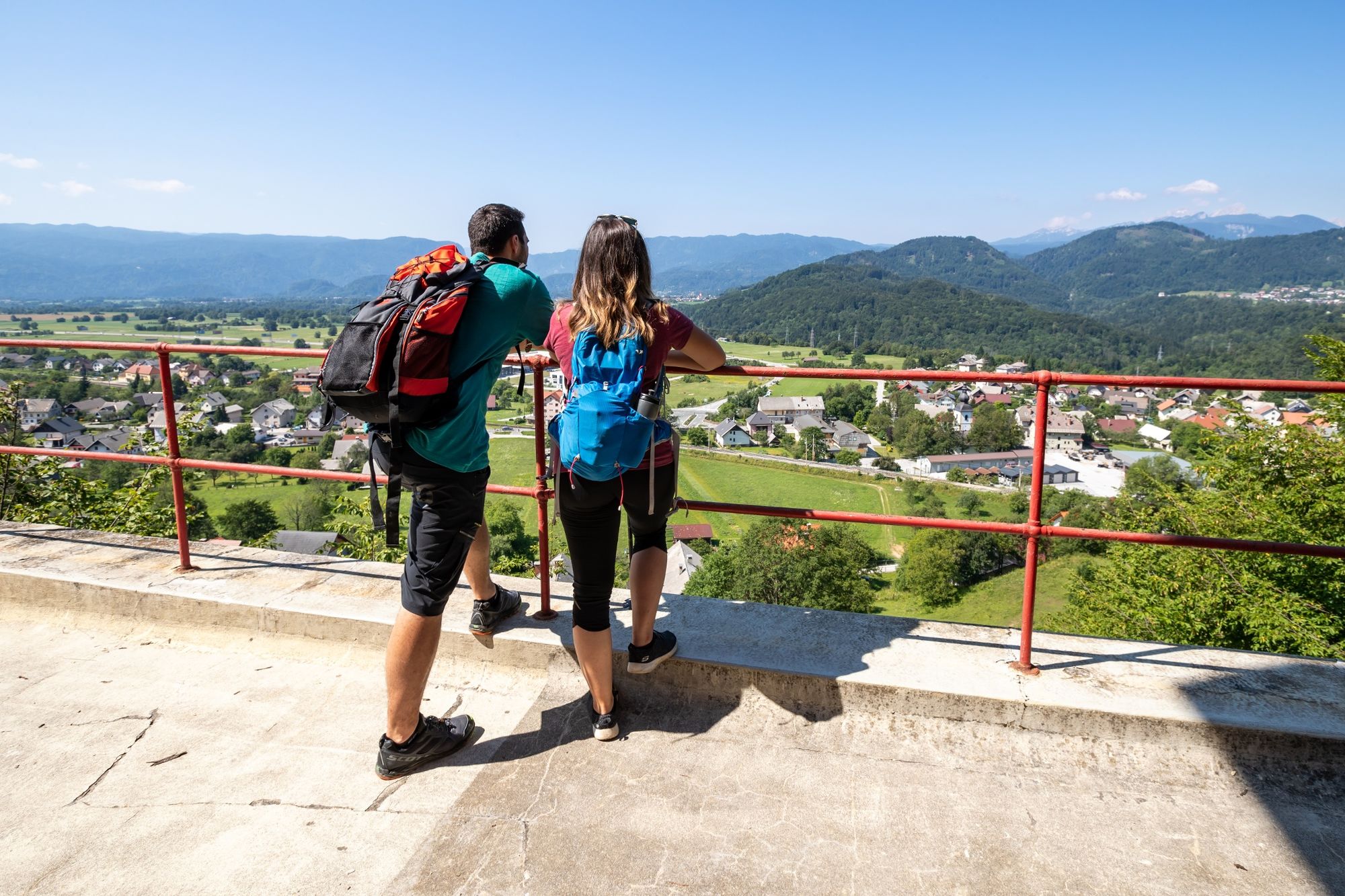
At the foothills of the sunny Karavanke mountain range, we continue from Rodine to a steep climb to Sankaška koča alpine hut and to the near panoramic point St Peter above Begunje, which offers a view of the entire Upper Sava River Valley, Lake Bled and the Julian Alps with Triglav. The Church of St Peter is located there. A paragliders' take-off point is close by. Descend along Peter's Trail to Begunje and end the stage in the centre of the village that is known for the famous Slavko Avsenik – the greatest Slovenian national folk musician and composer. The Elan factory, which in the past was a renowned name for quality skis and is now the place where vessels and parts for sport aeroplanes are built, is also located in Begunje.
- Directions
-
The stage first runs through Jesenice and along arranged pavements to Lipce. The trail continues along local roads, from Moste to Rodine and along the Žirovnica Cultural Heritage Trail. In the final part, the stage from St Peter follows Peter's Trail to Begunje.
From the railway station in Jesenice, the trail runs along the main road, on the overpass across the track to Stara Sava and continues along a walking path on the sunny side to Slovenski Javornik. From there, the trail continues on the pavement across the bridge to the right bank of Sava Dolinka River and to Lipce, where we walk along the local road below Lipce past the football court towards the east. We continue past the campsite on a local road across Dobravško polje towards the dam to the Moste hydropower plant.
The trail continues across the dam and along the asphalt road to the Radovljica – Jesenice main road. Cross the road and continue along the local road through Moste to Žirovnica. We mostly follow the Žirovnica Cultural Heritage Trail, continue past the famous Janša's Beehive, through the villages of Selo, Zabreznica, Breznica, Doslovče, Smokuč and Rodine. Turn left in the village at the church, continue uphill to the end of the village and continue along the steep path forward until you come to the path that runs transversally to the trail.
Turn right and walk to Sankaška koča mountain hut (open occasionally). Follow the cart road downhill to the Church of St Peter near Begunje. Peter's Trail continues steeply downhill to Begunje. Among the houses on the edge of the village continue to the car park in front of the Avsenik Museum or Jožovc Inn. Slavko Avsenik is the symbol of Slovenian national folk music that also spread to the German-speaking area.
- Highest point
- 878 m
- Endpoint
-
Car park in front of Avsenik Museum (Jožovc Inn) and the TIC in Begunje.
- Height profile
-
 © outdooractive.com
 - Equipment
-
Hiking shoes and season-appropriate clothing and hiking poles.
- Safety instructions
-
The trail runs along local roads through the village. The climb from Rodine to St Peter is quite strenuous, while the descent to Begunje runs along a narrow trail – be careful if the path is wet.
- Tips
-
We recommend visiting birth houses of writers and poets, Janša's Beehive and the Avsenik Museum in Begunje.
- Additional information
-
Hint by Triglav National park: St. Peter’s church – magnificent views of magnificent nature
Areas that form part of the Natura 2000 network are the basis of nature protection in the European Union. More than a third of Slovenia’s territory (37%) is designated under Natura 2000, and a surprisingly large part of this nature’s treasure can be admired from the panoramic hill known as St. Peter’s (Sveti Peter). The views from the hill stretch over the densely-wooded Jelovica plateau, the Julian Alps, Triglav National Park, and most of the Karavanke mountain range and the Kamnik-Savinja Alps. The reason why so much of this territory is protected under Natura 2000 lies in the centuries’ old presence of man and his love of nature that is intricately interwoven in the natural environment.
The entire stage area has phone reception, there are several bars and inns along the trail.
Useful websites
www.radolca.si www.julian-alps.com www.slovenia-outdoor.com - Arrival
-
Motorway:
- Ljubljana – Jesenice – exit Jesenice east, Lipce
- Public transportation
- Parking
-
- Several car parks near the railway station in Jesenice.
- Car park in front of the TIC in Begunje.


- Author
-
The tour JULIANA TRAIL: stage 3 Jesenice - Begunje is used by outdooractive.com provided.


General info
-
Wörthersee - Rosental
1944
-
Bled
209


