

- Brief description
-
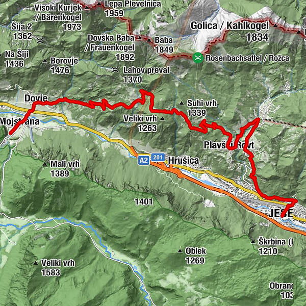
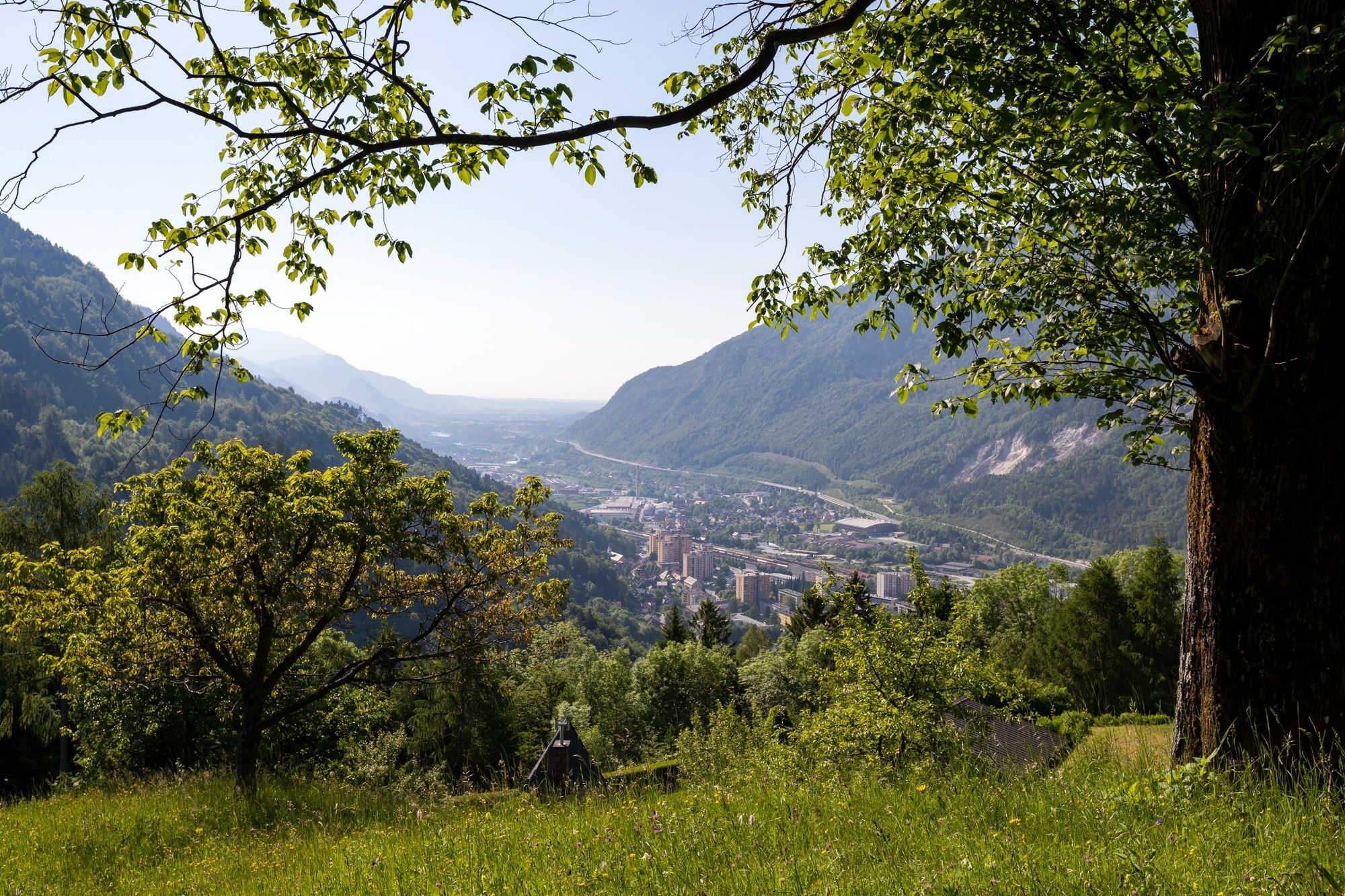
The stage 2 runs from Mojstrana through Dovje and the foothills of the Karavanke to the ironworks city of Jesenice. In the last section, the trail runs along an ancient mining trail.
- Difficulty
-
medium
- Rating
-
- Starting point
-
Slovenian Alpine Museum in Mojstrana.
- Route
-
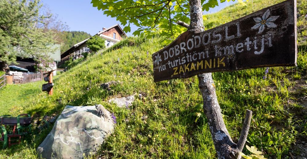
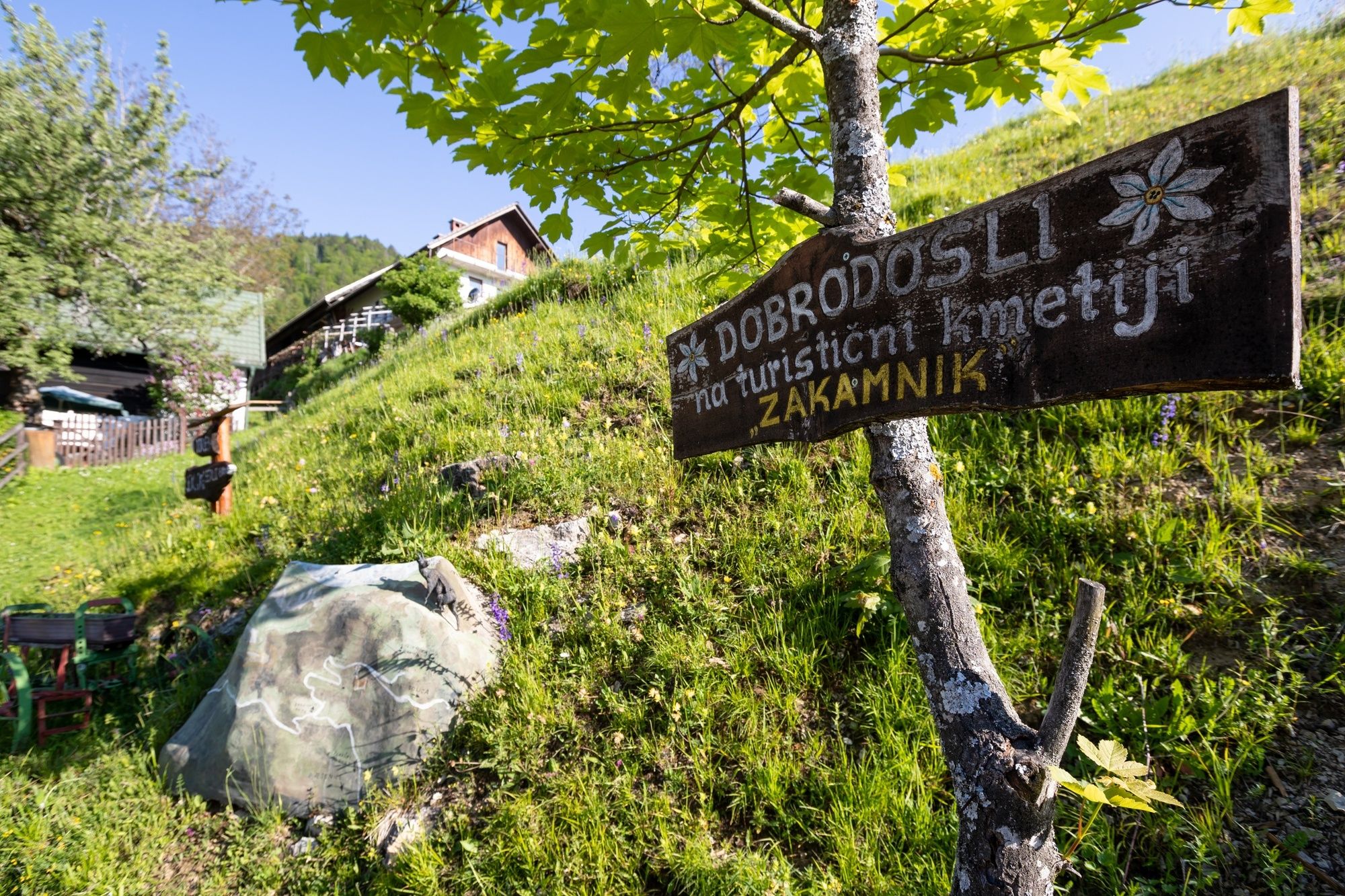
Pizzeria Kot0.3 kmMeistern in der Oberkrain0.4 kmLangenfeld in der Oberkrain (711 m)1.5 kmZakamnik11.2 kmPlavški Rovt13.3 kmPlanina pod Golico (954 m)15.1 kmMurova18.0 kmJesenice (576 m)20.2 kmCerkev Marijinega vnebovzetja20.5 km
- Best season
-
JanFebMarAprMayJunJulAugSepOctNovDec
- Description
-
The stage starts at the Slovenian Alpine Museum that is located at the main road to the Vrata Valley, which is the starting point for climbing Triglav from the northern side. The stage mostly runs along unpaved roads and cart roads, and along an ancient mining trail in the last section. From the Slovenian Alpine Museum in Mojstrana, the trail runs to Dovje. Mojstrana and Dovje are the birthplaces of many distinguished Slovenian mountaineers from the start of the mountaineering period and from the times after WWII (the "Mojstrana Squirrels" – mountaineers who were well known).
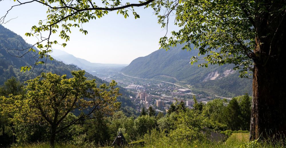
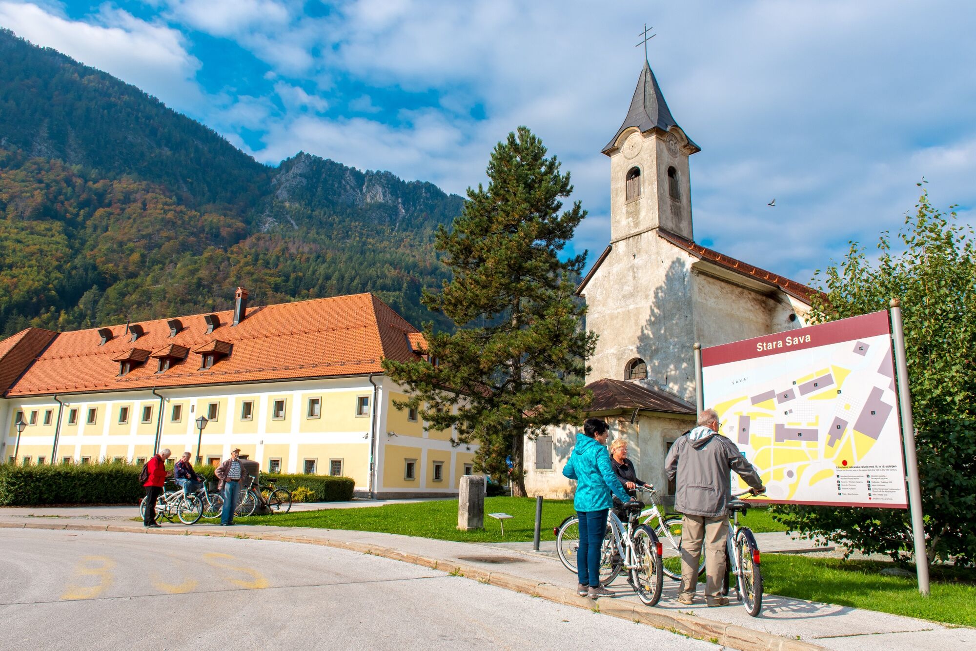
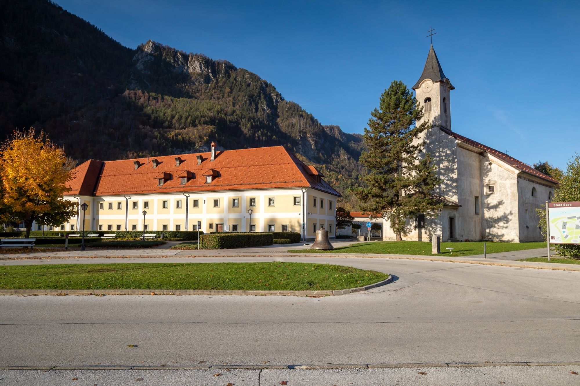
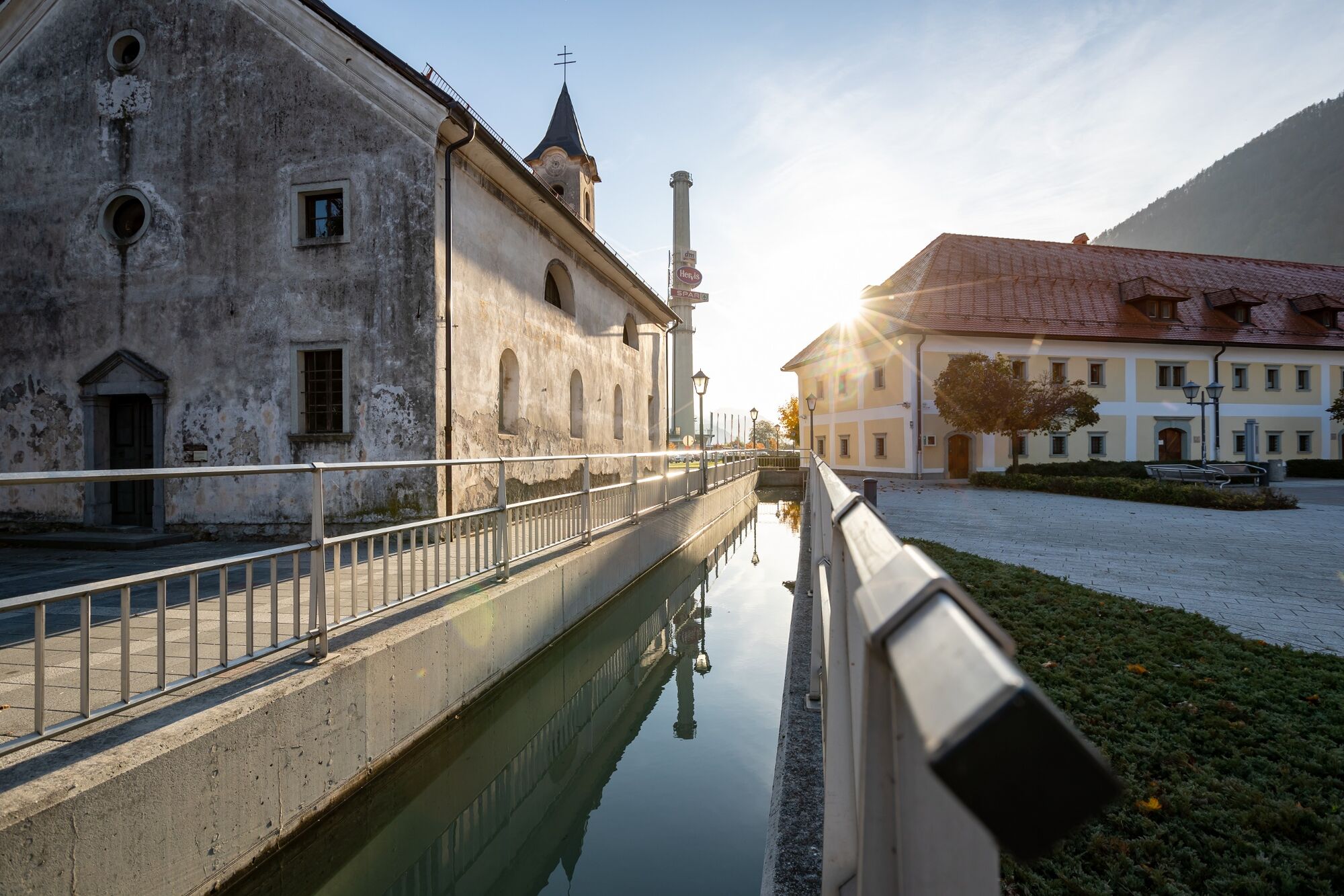
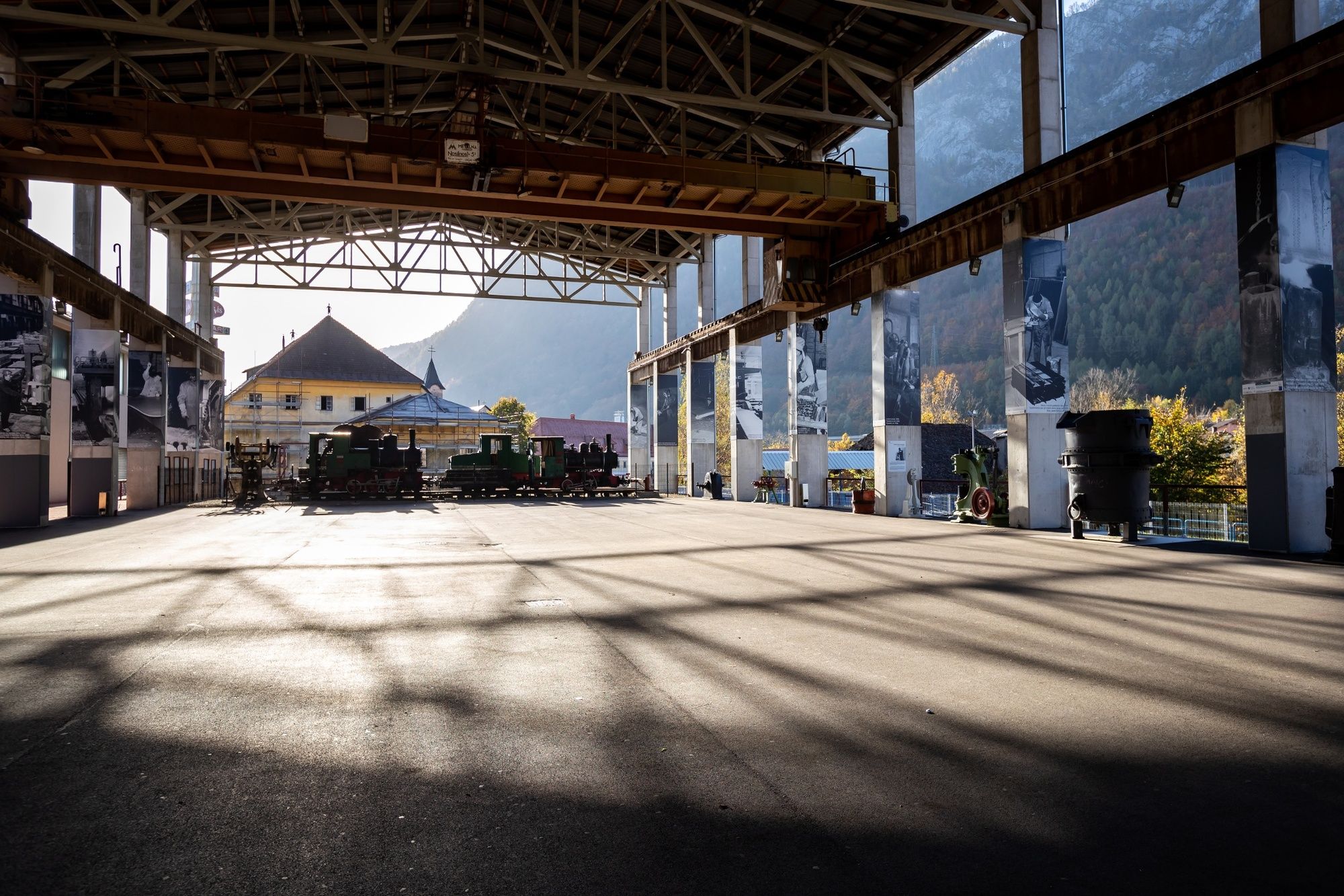
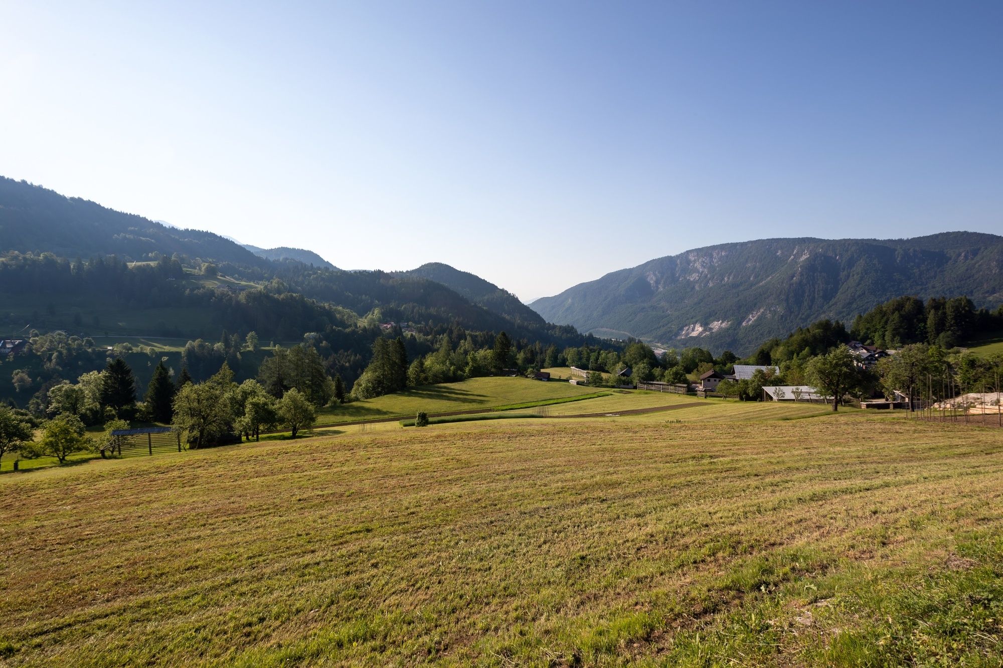
The trail initially follows the Via Alpina Trail, but turns east after Dovje village towards Dovške Ravne, Plavški Rovt and Jeseniški Rovt above Jesenice. Jesenice is an old ironworks city. The old ironworks plant was replaced by a newer one in Koroška Bela, which still produces various iron and steel products. The trail along the ancient mining trail takes us to Jesenice. For almost 400 years, this trail was used to transport iron ore from the mines in Savske Jame to the Stara Sava ironworks settlement which still has the elements of an old ironworks settlement.
- Directions
-
The stage runs along the local road to Dovje and from there along the forest road to Plavški Rovt. Continue along the marked local walking path and specially marked themed Ancient Mining Route to Jesenice.
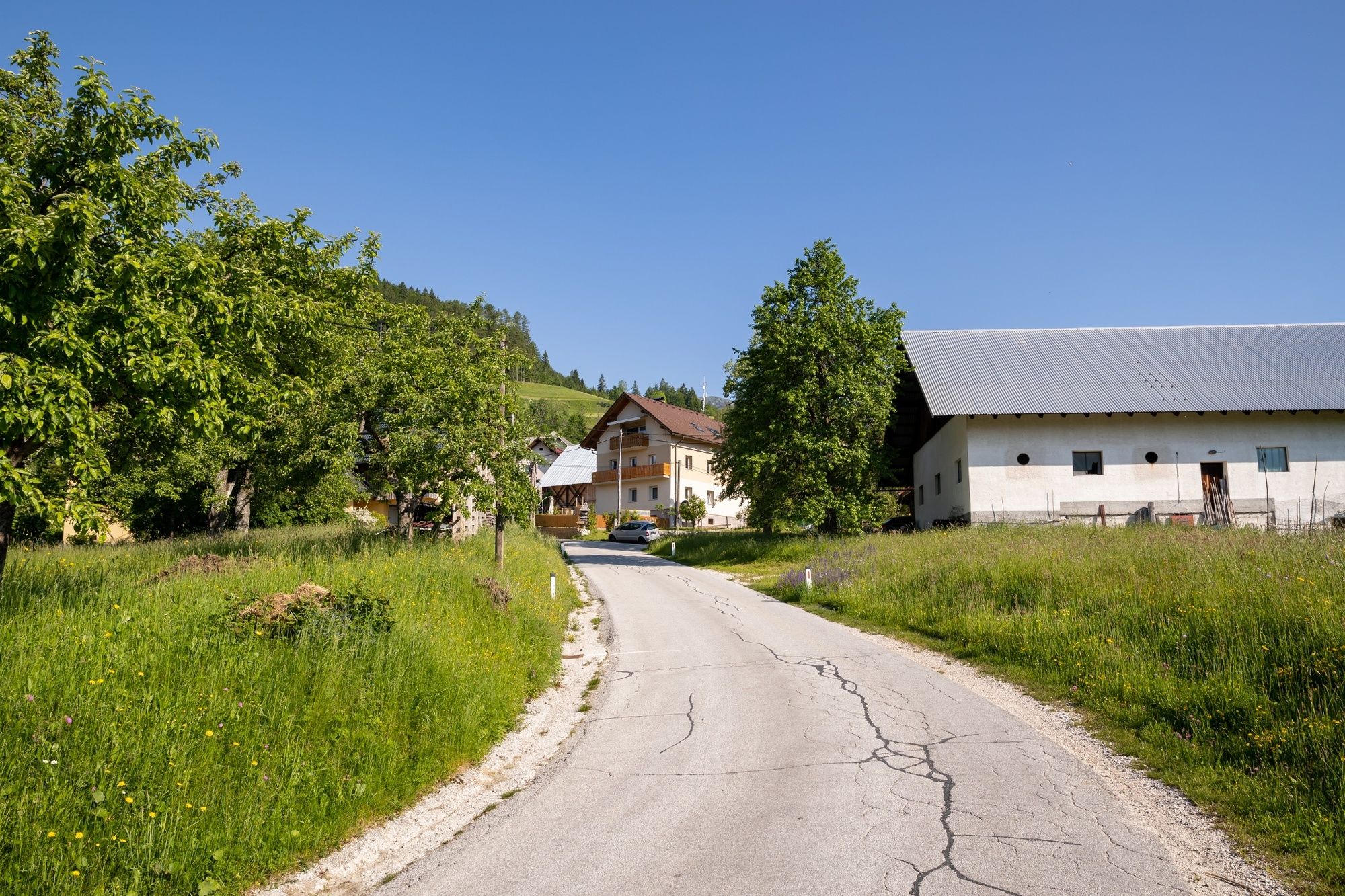
The stage starts at the Slovenian Alpine Museum in Mojstrana. Then continue along the main road through Mojstrana, and ignore the sign that indicates the walking path to Dovje. Cross the Sava Dolinka River and ascend to the main road, cross it and continue to Dovje. Continue along the main road and keep right uphill. Turn to the unpaved road from the asphalt road. Stay on this road to the village of Plavški Rovt, where asphalt road starts again. The direction sign in the middle of the village and yellow signs along the cart track take us towards Planina pod Golico.
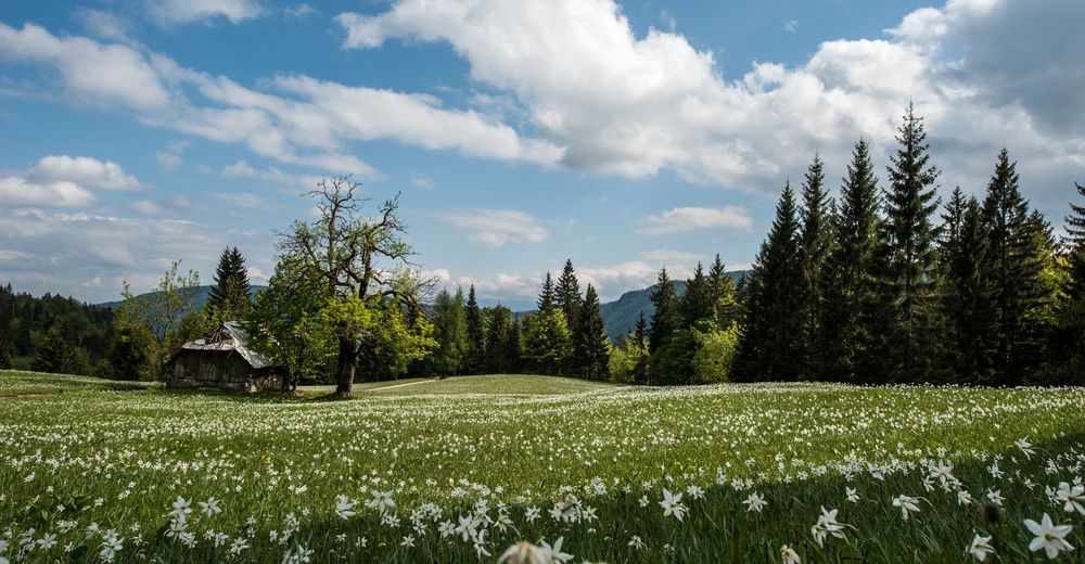
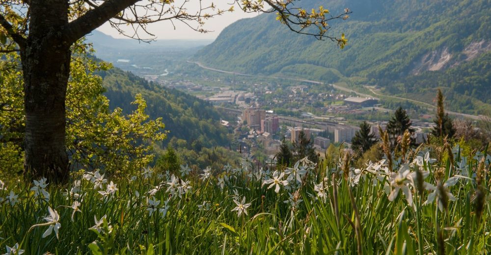
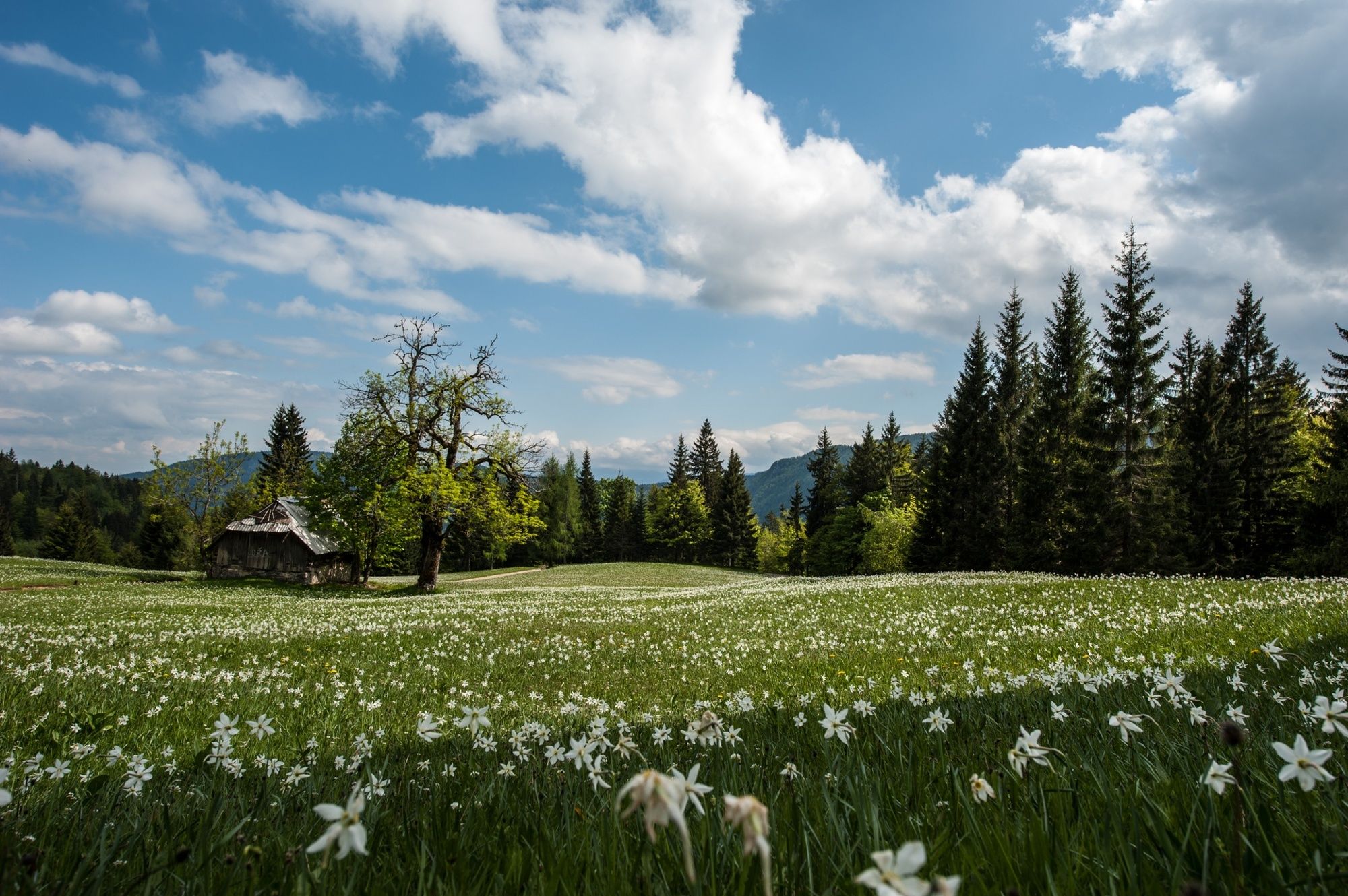
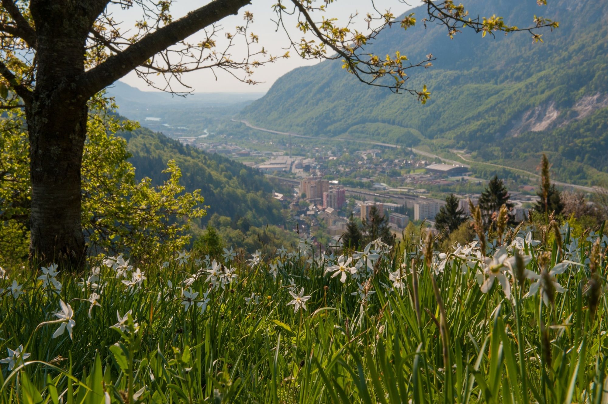
The trail runs across the meadows, full of daffodils in spring, below the climbing area, past the secluded farms to Prihodi settlement. Continue along the asphalt road uphill to the Planina pod Golico – Jesenice main road, continue left to the east among the houses, where you reach the old themed mining trail, where you descend to Jesenice and continue through the city to the railway station. Jesenice is an old ironworks city, where the ironworks history of Slovenia began.
- Highest point
- 1,229 m
- Endpoint
-
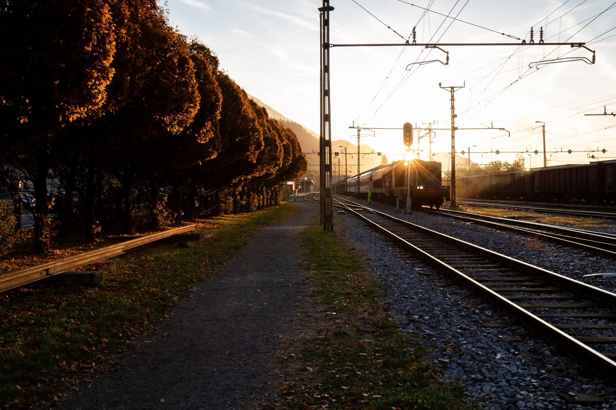
Railway station in Jesenice.
- Height profile
-
 © outdooractive.com
 - Equipment
-
Hiking shoes and season-appropriate clothing and hiking poles.
- Safety instructions
-
The entire stage is covered by phone reception. The trail is safe and not exposed, the final part above Jesenice is quite steep. Stay on walking areas in the city.
- Tips
-
A long stage with few refreshment stops. In the first part, the trail ascends along a forest path to Rogarjev Rovt (a 500-metre ascent from Mojstrana). Bring lunch and plenty of water, especially in summer.
- Additional information
-
Hint by Triglav National Park: The fauna of the Mežakla Plateau
The high-altitude karst plateau of Mežakla acts as the boundary between the bustling city of Jesenice and the unique natural environment of Triglav National Park. Located just a short distance from the traffic noise and the bustling city, Mežakla is a haven for many animal species. Its steep and almost inaccessible slopes are home to a wide range of wildlife typical of the national park. Deer who have been pushed further into the forest by the overgrowing of grasslands feed on forest plants, mainly saplings. Observant visitors will spot these forest inhabitants in many sections of the long-distance hiking trail.
Useful websites:
www.kranjska-gora.si www.julian-alps.com www.slovenia-outdoor.com - Directions
-
Motorway:
- Ljubljana – Jesenice – exit Kranjska Gora
- Salzburg – Ljubljana – exit Kranjska Gora
- Public transportation
-
Bus:
- Ljubljana – Mojstrana
- Jesenice –Mojstrana
Train:
- Ljubljana – Jesenice
- Villach – Jesenice
- Bus to Mojstrana
Jože Pučnik Airport in Ljubljana:
- bus to Kranj and to Mojstrana
- Parking
-
- In front of the Slovenian Alpine Museum in Mojstrana.
- In front of the railway station in Jesenice.


- Author
-
The tour JULIANA TRAIL: stage 2 Mojstrana - Jesenice is used by outdooractive.com provided.