


- Brief description
-
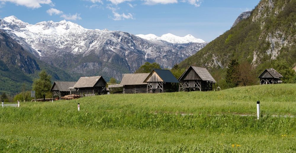
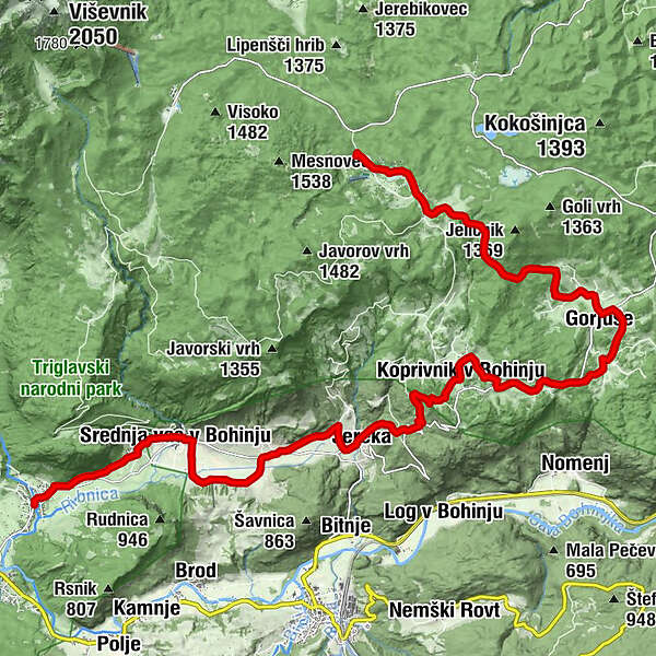
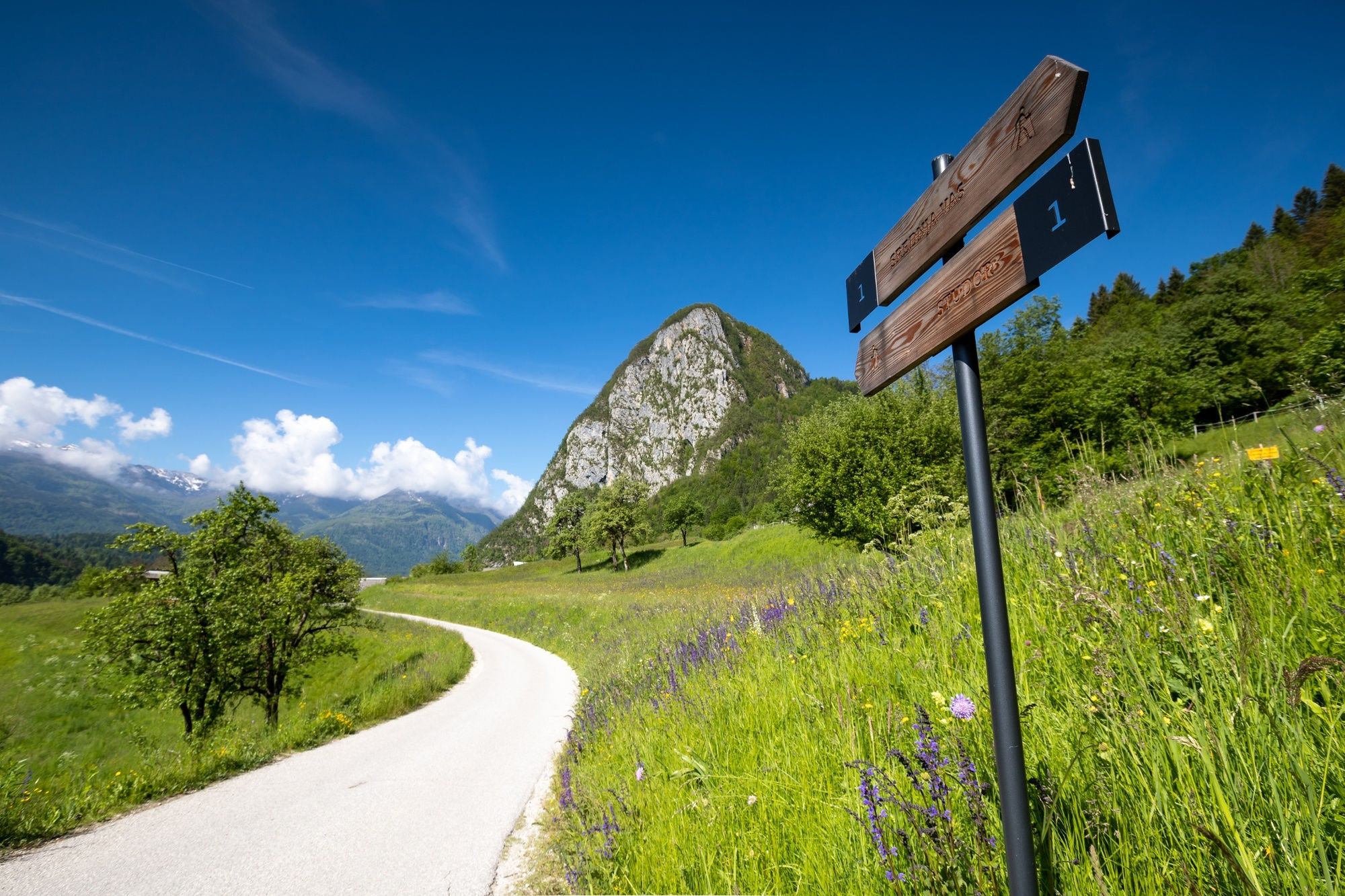
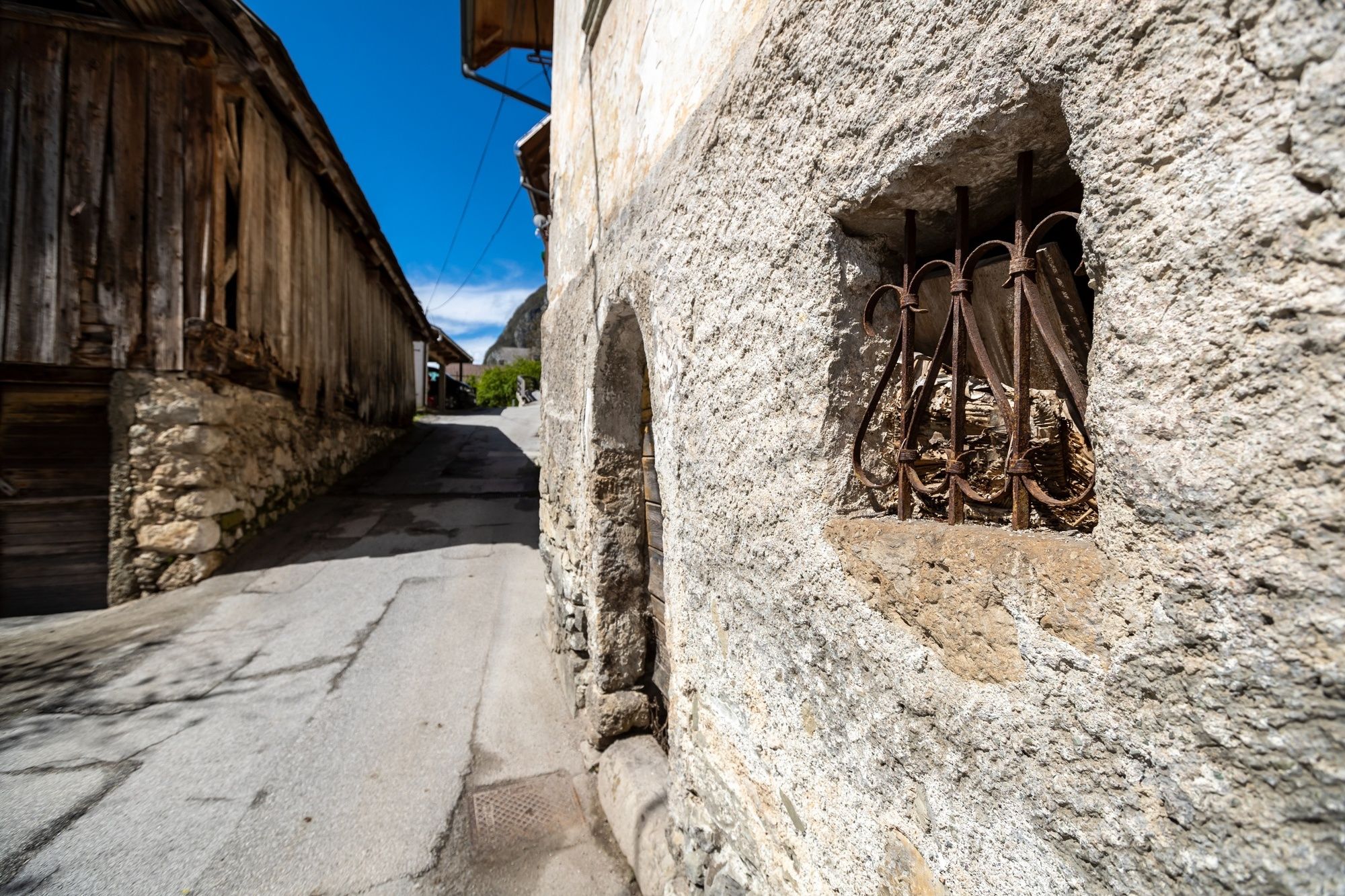
The stage runs through the forests and pastures of Pokljuka, and descends to Gorjuše, Koprivnik and Jereka in the Upper Bohinj Valley. From there, the trail continues through Češnjica, Srednja vas and Studor to Stara Fužina.
- Difficulty
-
medium
- Rating
-
- Starting point
-
Sport Hotel, Pokljuka
- Route
-
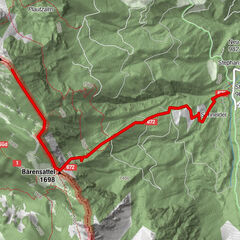
Mubar0.1 kmZgornji Goreljek0.5 kmKapela sv. Antona Puščavnika na Goreljeku0.6 kmGoreljek1.4 kmSpodnji Goreljek1.7 kmGorjuše6.3 kmGobarsko društvo jurček10.9 kmKoprivnik v Bohinju11.0 kmCerkev povišanja sv. Križa11.0 kmVodnikov Razglednik (1,017 m)11.9 kmFrauenberg14.3 kmKerschdorf16.2 kmGostilna pri Hrvatu18.7 kmSv. Martin18.8 kmMitterdorf18.9 kmStudorf19.4 kmCerkev sv. Pavla21.2 kmGostilna Mihovc21.5 kmAlthammer21.6 km
- Best season
-
JanFebMarAprMayJunJulAugSepOctNovDec
- Description
-
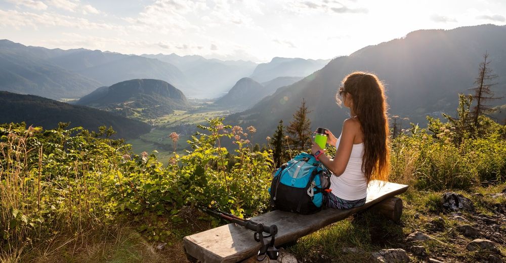
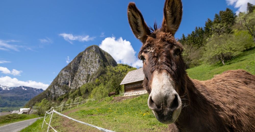
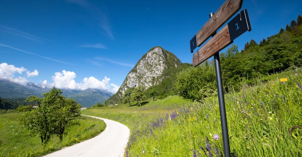
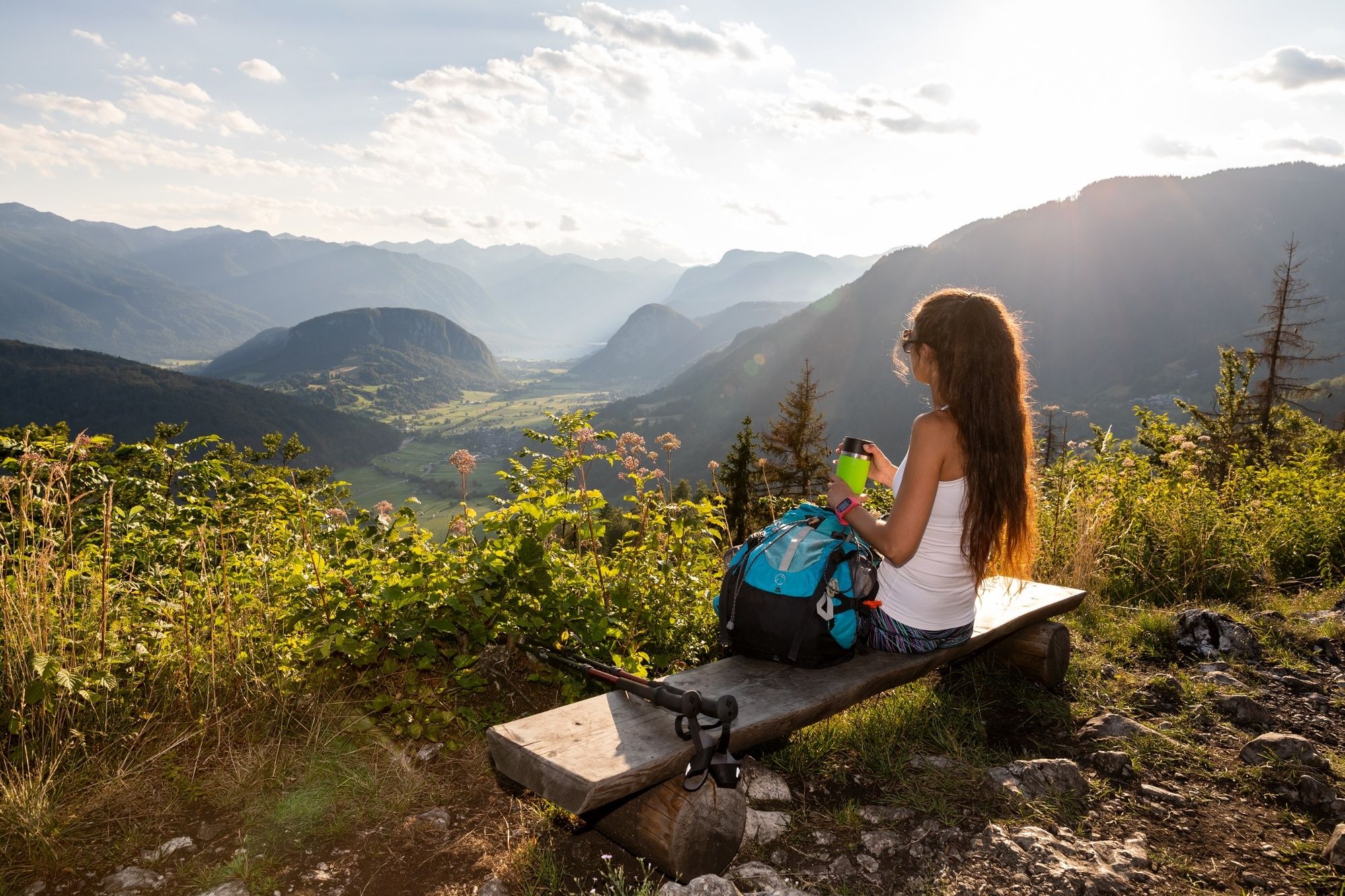
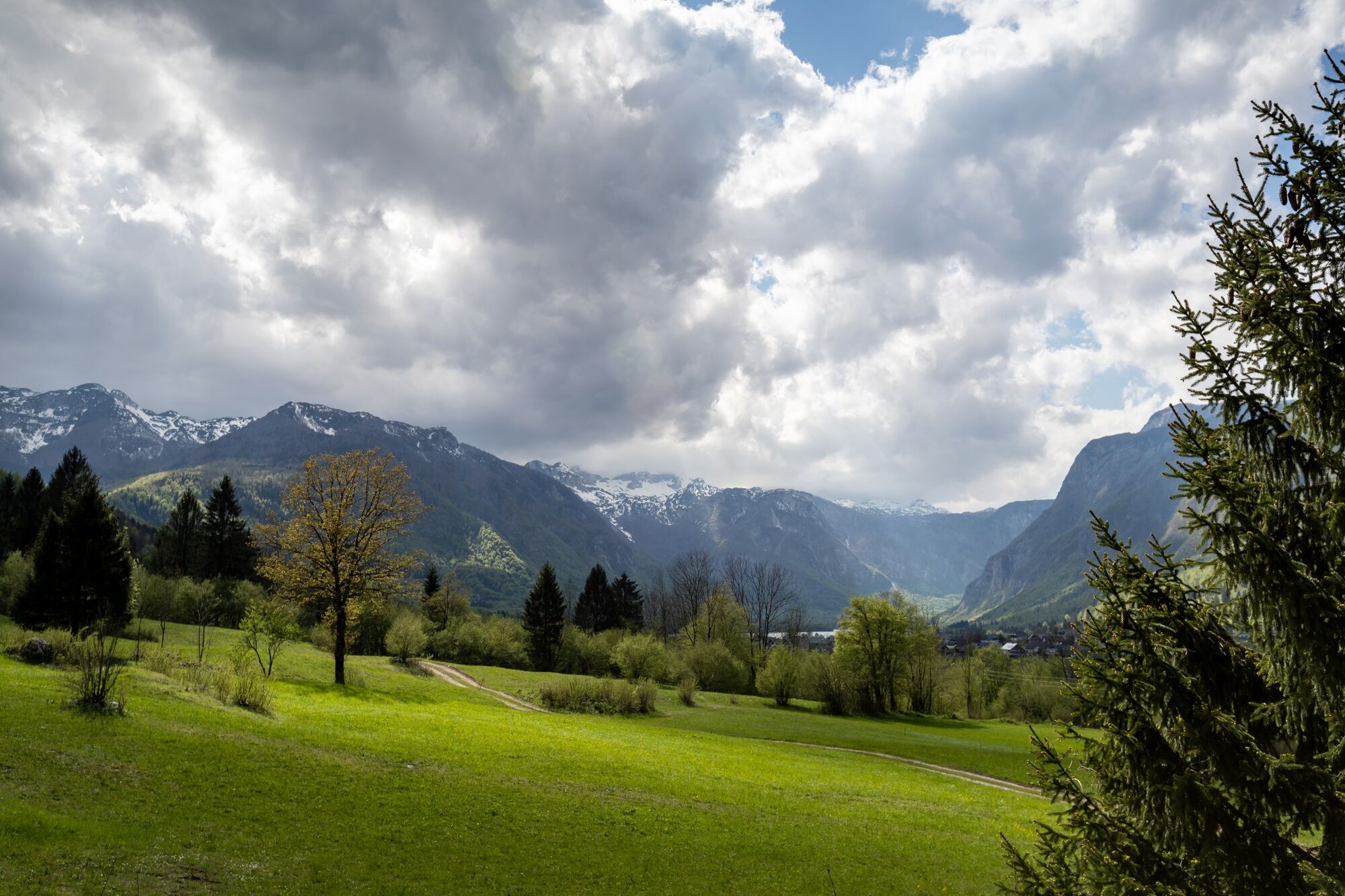
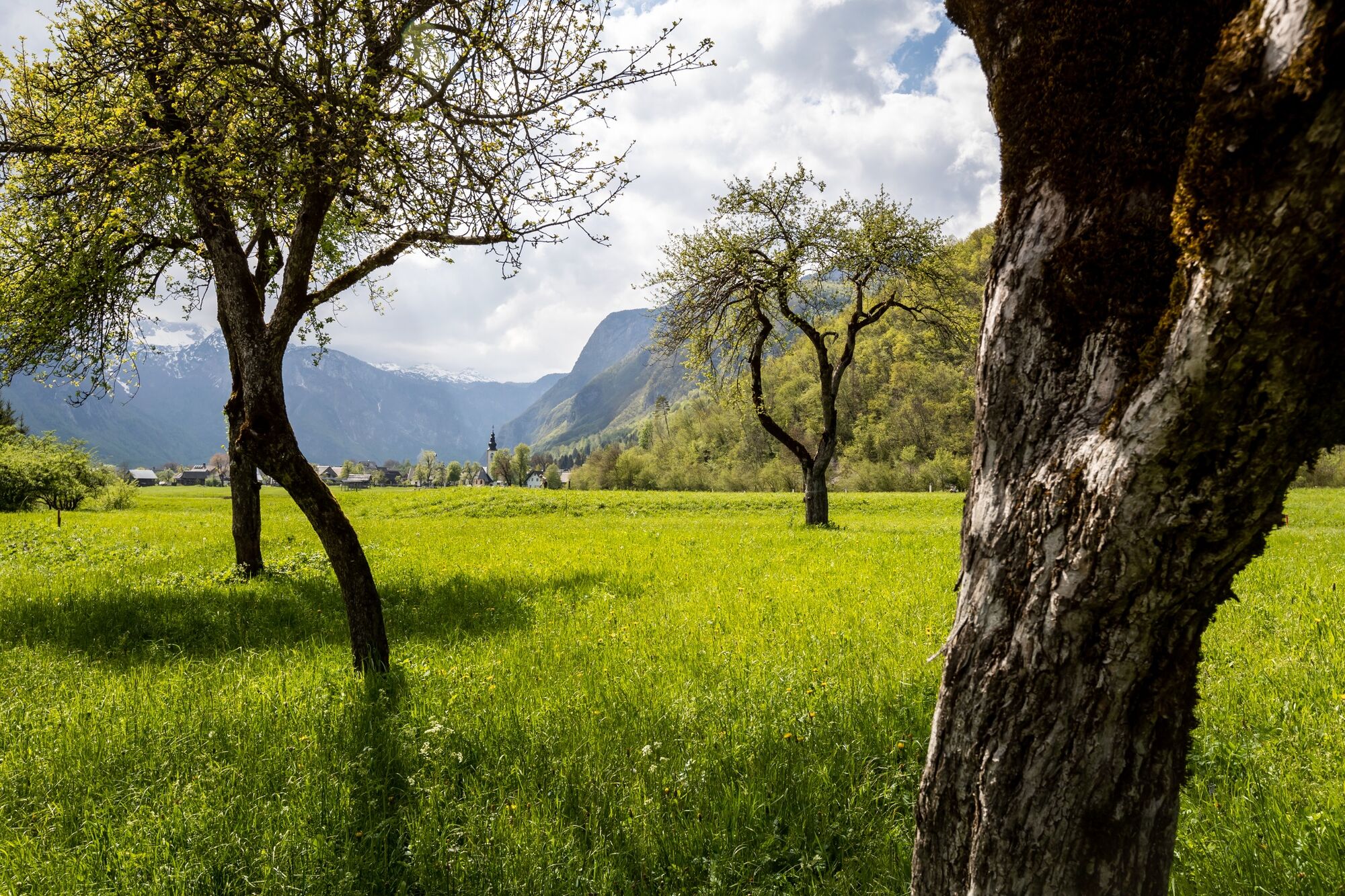
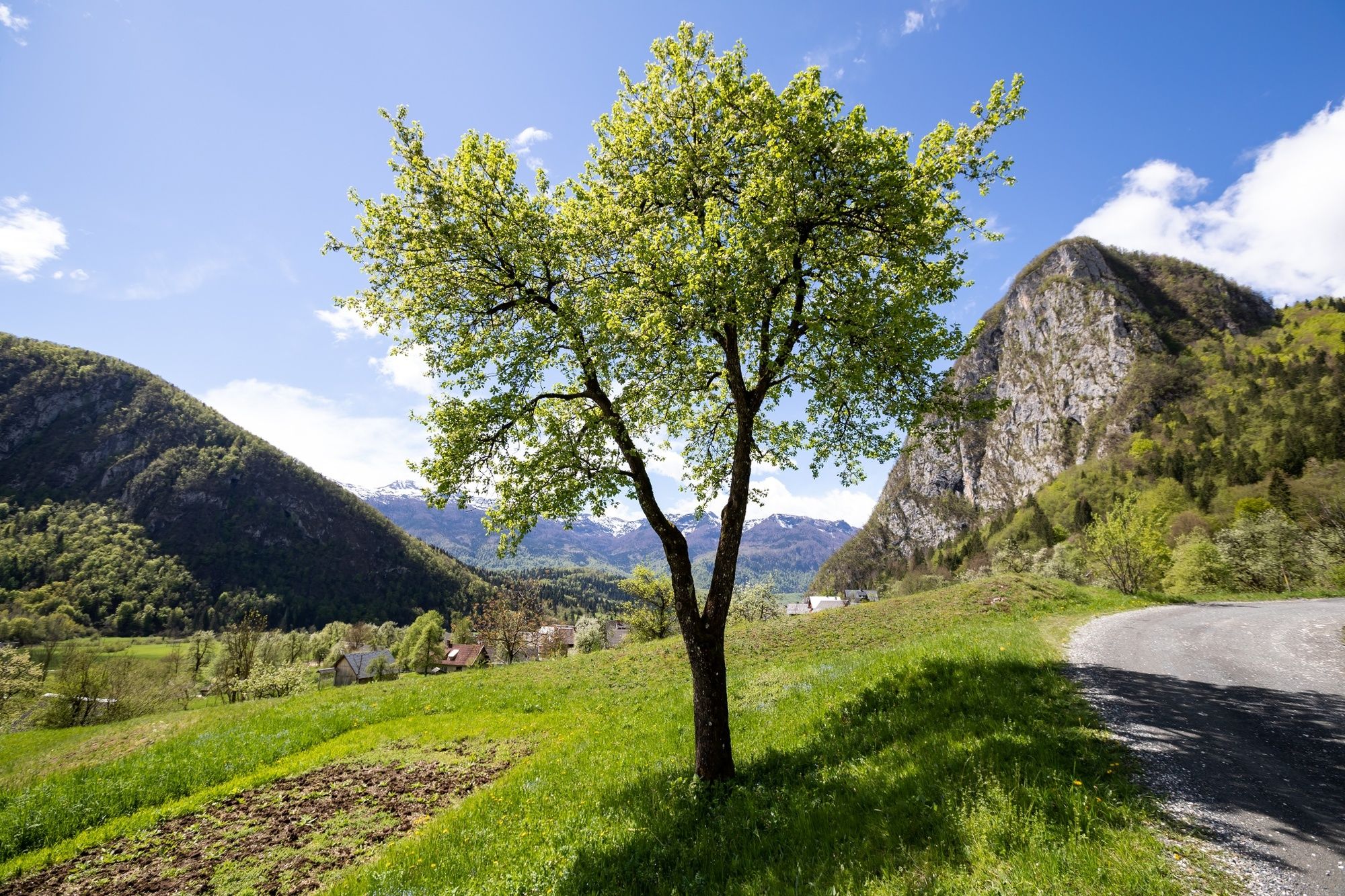
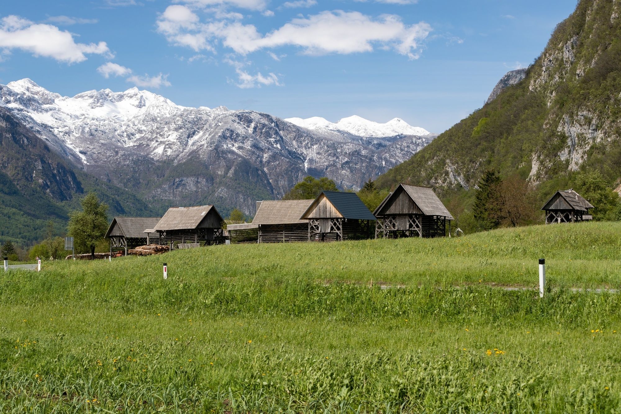
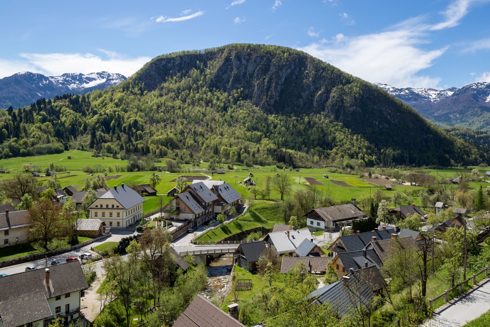
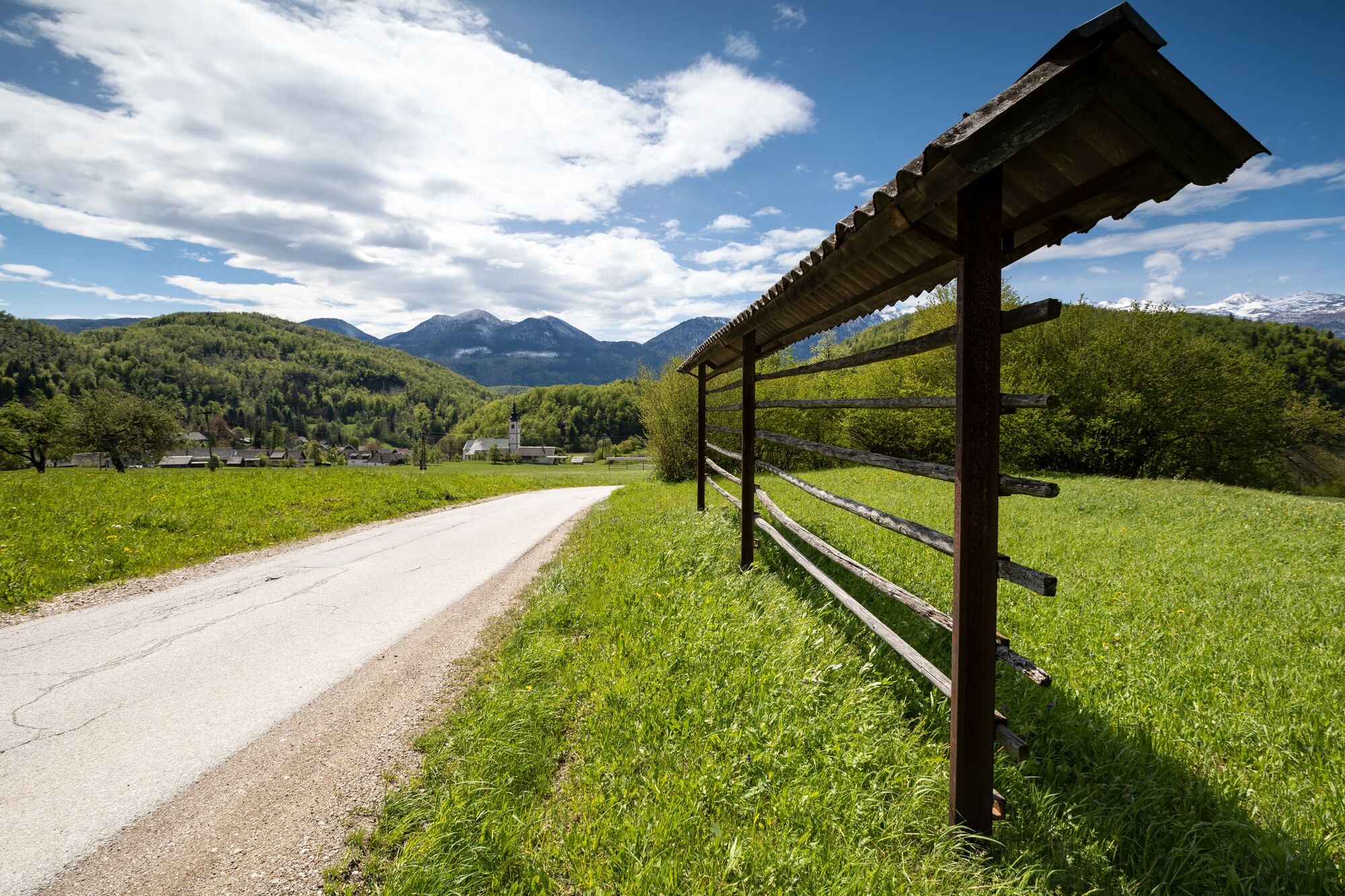
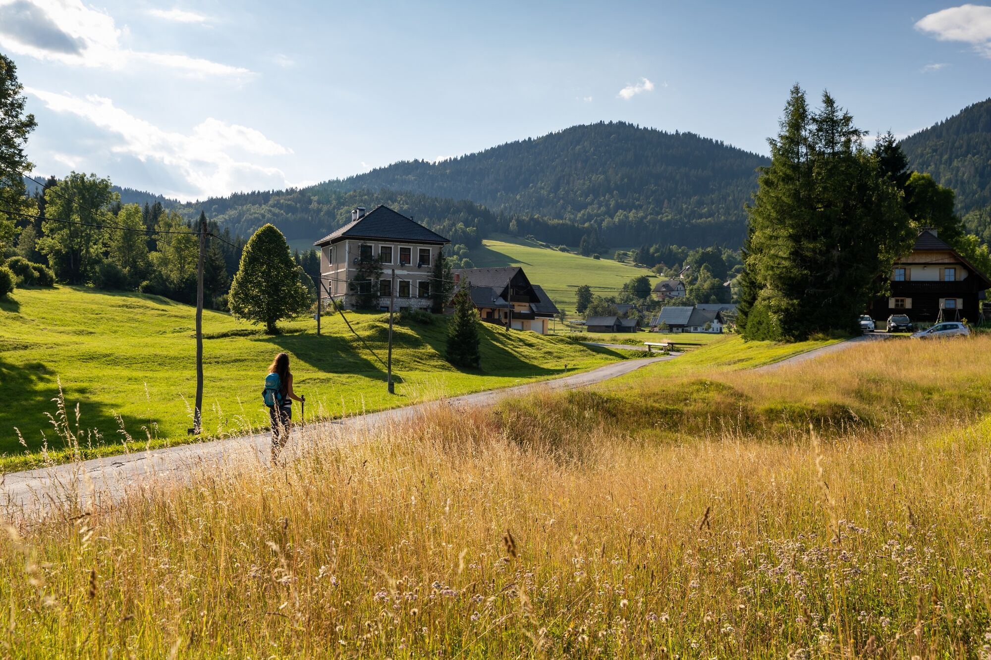
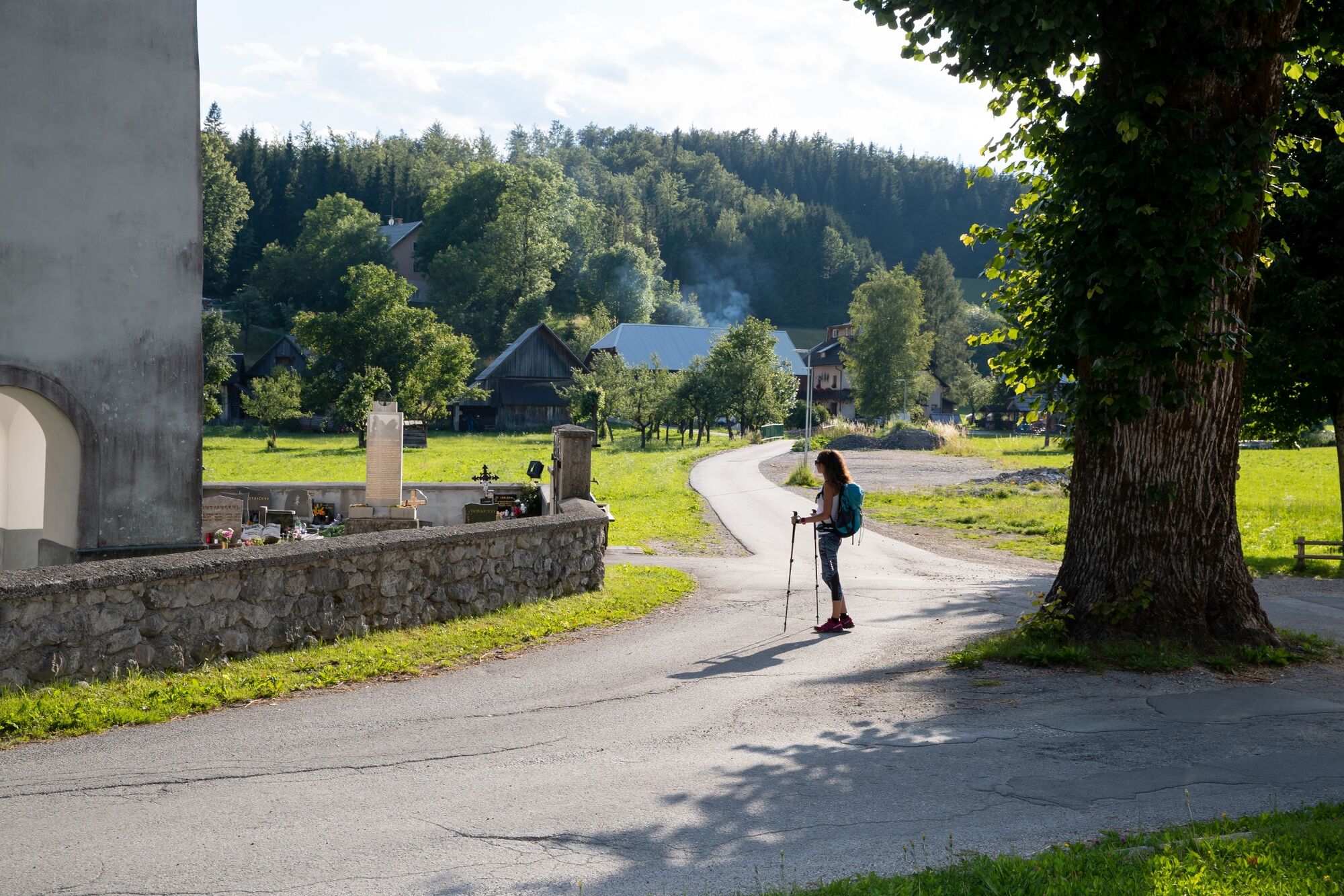
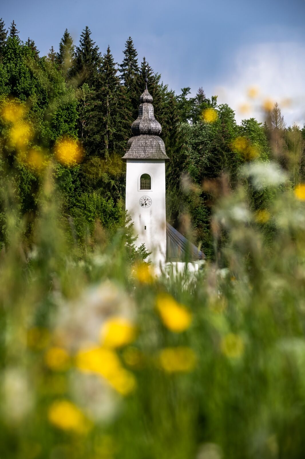
The stage runs almost entirely within Triglav National Park and runs from Sport Hotel on Pokljuka through Goreljek and crosses many pastures. The trail runs along the Goreljek peat bog, over the Spodnji Goreljek Pasture and descends to the villages of Gorjuše and Koprivnik. You can also visit Vodnik Viewpoint along the way, which is the perfect place to admire the entire Upper Bohinj Valley, Lake Bohinj and the mountains above the lake. From the Church of St Margaret (Sv. Marjeta) in Jereka, the trail runs through the villages of Češnjica, Srednja vas and Studor. These are all old Bohinj villages, where people are mostly active in tourism, cheese production and forestry. Every summer, St Martin's Church in Srednja vas hosts the Bohinj Summer Music Festival. The stage ends in Stara Fužina, which is well known for the nearby Mostnica Gorge, the Alpine Dairy Farming Museum and as the starting point to hike to Triglav and other peaks of the Julian Alps.
- Directions
-
The stage runs along forest paths and local roads to Vodnik Viewpoint in Koprivnik, and from there to Stara Fužina along the marked Bohinj hiking trails.
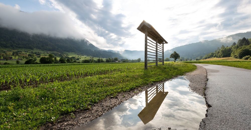
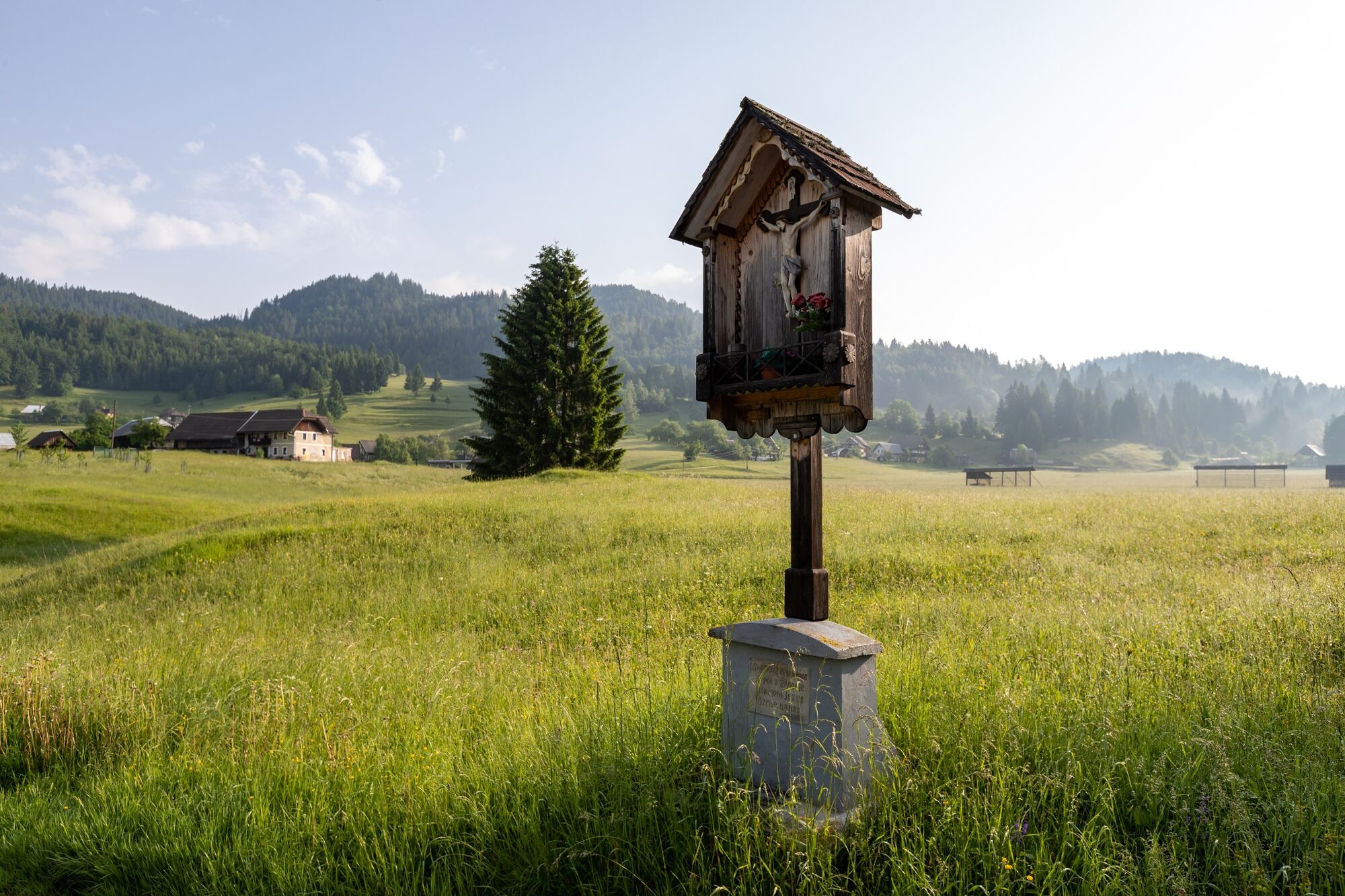
From Sport Hotel in Goreljek, walk on the right side of the asphalt road through a small settlement with holiday houses. Turn left onto an unpaved road after 500 metres, walk past the wayside shrine, and turn right to the Goreljek peat bog study trail. When you come close to an unpaved road, turn left and then right. When you reach the asphalt road, turn left and left again between the houses, continue on the right side down the hill through the forest, past the secluded alpine huts to a wide meadow. Cross it to the renewed Knoflov stan mountain hut in Spodnji Goreljek. Continue left along the cart path through the forest, downhill along tree removal trails to the meadows above Gorjuše. Turn right onto the access local road and then come to the main asphalt road from Mrzli Studenec to Jereka. Turn left and walk for about 100 metres, turn right onto the path over the meadow to continue to Spodnje Gorjuše. Continue right along the asphalt road to Ročnjek Tourist Farm, which also provides accommodation and hospitality services. Continue past the farm uphill to the main road, continue right to the turning of the cart road, turn right and to the first houses in Koprivnik, then left downhill to the church in Koprivnik. Turn right at the church, past the fire station and towards Vodnik Viewpoint. Continue right downhill from the viewpoint. The road crosses the Mrzli Studenec – Jereka main road several times. This is an old steep road that was cleaned and arranged years ago. It takes us to Jereka. At the church, turn right uphill and after 200 metres turn left onto the cart road and then right along the old path and along the edges of the meadows to Bohinjska Češnjica. At the crossroads with the main road from Jereka to Lake Bohinj, turn right, walk through the village, and turn left to the cycling route that runs to a small ski centre – Senožeta. Then turn right along the asphalt road to Srednja vas, walk through the village and in the centre of it, right at a sharp bend of the main road, turn right. At Pri Hrvatu Inn, continue left across the bridge and walk towards the school. Then you walk slightly downhill to the crossroad with the forest road towards Uskovnica. Continue along the asphalt road to Studor village which is known for its hayracks, the Pr' Odolnek tourist farm and the Mrcina Ranch. At the end of the village, turn right onto the cart road that runs below the steep Studor hill towards Stara Fužina. When you reach the main road, turn right past St Paul's Church, Mihovc Inn and over the bridge across Mostnica. Turn left behind the bridge on the main road to the turning for TNP Bohinj Centre, where the stage of the trail ends.
WARNING: due to path maintenance the part of stage 6 temporarily runs from church in village Jereka to Bohinjska Češnjica along the main road!
- Highest point
- 1,281 m
- Endpoint
-
TNP Bohinj Centre in Stara Fužina.
- Height profile
-
 © outdooractive.com
 - Equipment
-
Hiking shoes and season-appropriate clothing and hiking poles.
- Safety instructions
-
The entire section of the trail has phone reception and there are several rest places. The stage is long, so be cautious in time planning so you don't get caught by dark. The trail is more difficult to hike in some parts due to fallen trees.
- Tips
-
This section of the trail is long, but there are rest places, and exceptionally beautiful views of Triglav and the other mountains along the way. Take the time to enjoy the views.
- Additional information
-
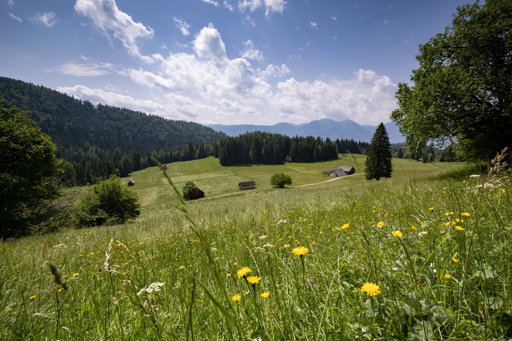
Hint by Triglav National Park: Brightly-coloured meadows of Bohinj
Favourable soil and climate conditions, grasslands that have been managed sustainably for centuries, careful consideration of natural cycles, and avoidance of heavy machinery are responsible for the creation and preservation of brightly-coloured wildflower meadows that are Bohinj’s loveliest adornment.
The meadows are at their most beautiful at the end of May when Bohinj hosts the International Wild Flower Festival. Although lush and adapted to the harsh alpine climate, wildflower carpets are not meant to be trampled on by robust hiking footwear. By staying on trails, you will show that you respect this fragile natural environment and the privacy of its inhabitants and landowners.
- Directions
-
Motorway:
Ljubljana – Jesenice – exit Bled, to Pokljuka
Regional road:
Bled – Bohinjska Bistrica – Pokljuka
- Public transportation
- Parking
-
Car park in front of Sport Hotel in Goreljek.
Car parks in Stara Fužina and Ribčev Laz.


- Author
-
The tour JULIANA TRAIL: stage 6 Goreljek on Pokljuka - Stara Fužina is used by outdooractive.com provided.


General info
-
Wörthersee - Rosental
1947
-
Bohinjska Bistrica
118