
- Brief description
-
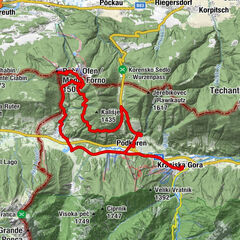
This cycling tour takes you mostly along stone roads on the Pokljuka plateau which is surrounded by forest.
- Difficulty
-
medium
- Rating
-
- Starting point
-
Rudno polje car park
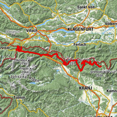
- Route
-
Rudno polje0.1 km
- Best season
-
JanFebMarAprMayJunJulAugSepOctNovDec
- Description
-
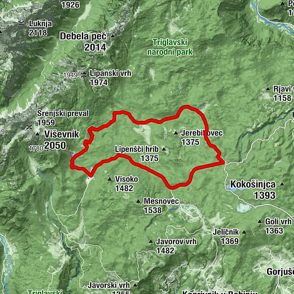
The wonderful cycling route on the Pokljuka plateau starts on Rudno polje. In winter, Rudno polje is the venue for biathlon world cup competitions and a popular spot for cross-country skiing; in summer, it is the starting point for climbing Triglav and other peaks of the Julian Alps. We suggest a visit to the training centre and shooting range. The route takes you along forest roads among the fairy-tale Pokljuka forests, over mountain pastures that offer magnificent views of the Julian Alps and Triglav.
Pokljuka plateau is covered with spruce forests and pastures where cattle graze in summer.
- Directions
-
The wonderful cycling route on the Pokljuka plateau starts on Rudno polje. Follow the forest stone road towards the Viševnik ski slopes. Follow the road and after a few hundred metres' ascent turn right to cross the ski slope. Follow the forest road that initially ascends and then descends. After descending, you reach the crossroads and turn left. The road takes you to a small car park and monument (the starting point for Lipanca pasture). Follow the forest road past Javornik pasture (where you can make a stop) towards the Kranjska dolina pasture. Then you descend towards Mrzli studenec where you come to an asphalt road (Bled/Bohinj – Rudno polje). Turn right and follow the main asphalt road to the starting point in Rudno polje.
- Highest point
- 1,440 m
- Endpoint
-
Rudno polje car park
- Height profile
-
 © outdooractive.com
 - Equipment
-
Mountain bike.
- Safety instructions
-
The route is used for farming purposes; therefore, you can also meet cars, motorcyclists and forestry machinery along the way. We recommend special attention there. The tour's route runs completely in the Triglav National Park, so stay on asphalt and wide stone forest roads. Tree removal trails and mountaineering trails are inappropriate for cycling.
- Tips
-
We advise you start your tour at Rudno polje car park.
- Additional information
-
Information:
Turizem Bohinj, Stara Fužina, tel.: +386 4 57 47 590
TIC Bohinj, Ribčev Laz, tel.: +386 4 574 60 10
TIC Bohinj, Bohinjska Bistrica, tel.: +386 4 574 76 00
TIC Bohinj, Stara Fužina, tel.: +386 4 572 33 26
TNP Bohinj Centre, Stara Fužina, tel.: +386 1 200 97 60
Julian Alps Card: Bohinj offers free transport and other benefits.
Bike rental:
Alpinsport, Ribčev Laz
Hike&Bike, Bohinjska Bistrica
Danica Campsite, Bohinjska Bistrica
PAC Sports, Hostel pod Voglom, Zlatorog Camsptie and Pr'Budkovič Hostel
Penzion Rožič, Ribčev Laz
Pošta pr'jezeru post office, Ribčev Laz
Sport4fun, Bohinjska Bistrica
Bohinj TIC, Bohinjska Bistrica
TIC Ribčev Laz
TIC Bohinj, Stara Fužina
Destina Tourist Agency, Ribčev Laz
Vila Triglav, Pokljuka
Walk along the Goreljek peat bog study trail in Goreljek.
- Directions
-
You can drive by car to Rudno polje from Bled through Gorje or from Bohinjska Bistrica (past Koprivnik and Gorjuše).
- Public transportation
-
You can travel by train or bus to Bohinj. From the Primorska side, you can also come by car train.
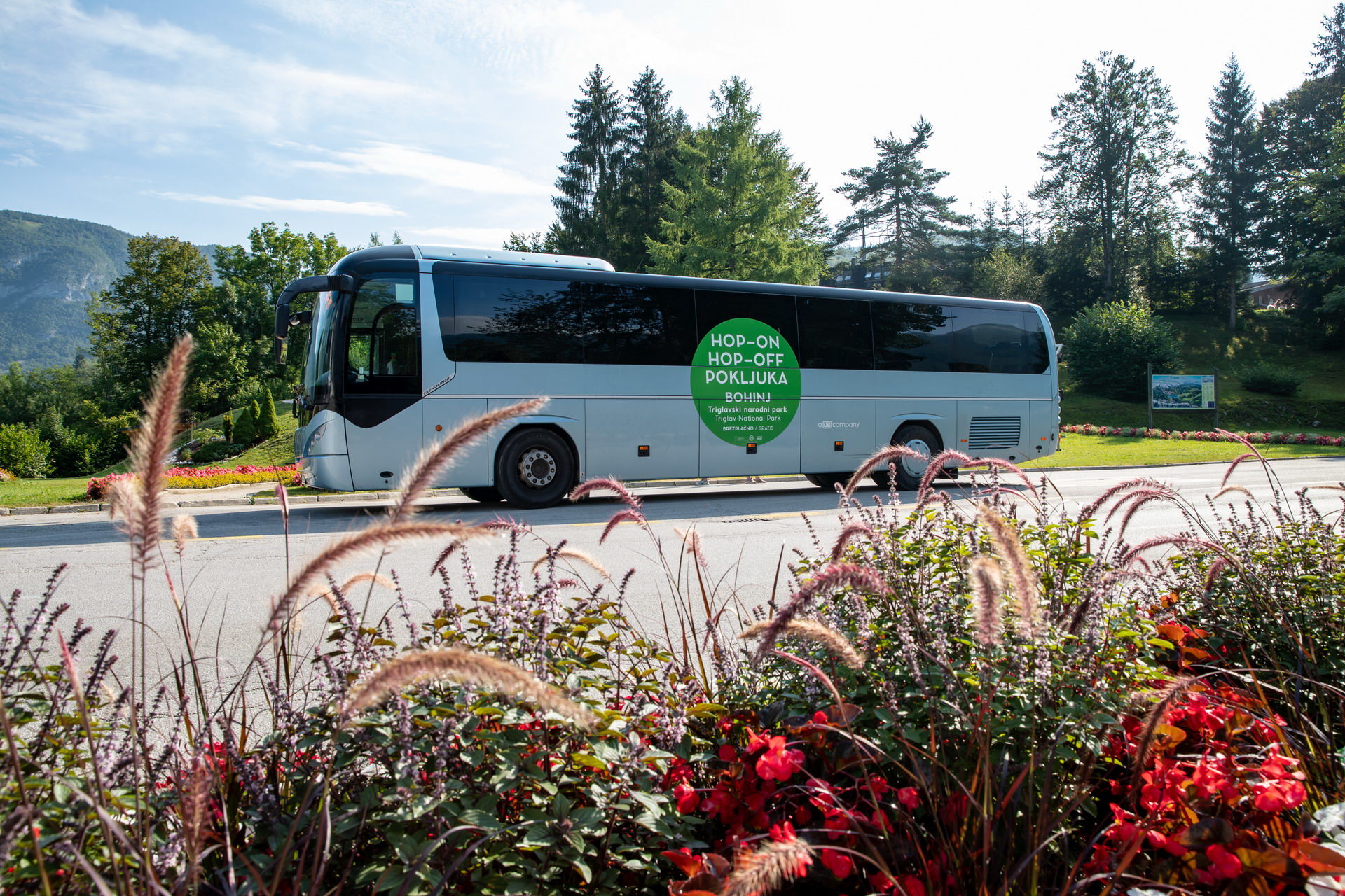
Rudno polje is connected to the Lower and Upper Bohinj Valleys in summer (free Hop-On-Hop-Off Pokljuka bus that also carries bikes). The bus stop is in front of the biathlon centre.
More information is available on the website promet.bohinj.si
- Parking
-
You can park at the Rudno polje car park – Triglav Pokljuka Sport Centre 20 (coordinates: 46.345674, 13.923607).


- Author
-
The tour Cycling on the Pokljuka is used by outdooractive.com provided.