


- Brief description
-
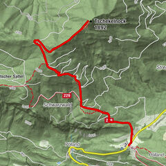
This stage runs from Tarvisio, following the cycling-hiking route to Slovenian-Italian border at Rateče, from where the local side road takes you to Kranjska Gora.
- Difficulty
-
medium
- Rating
-
- Starting point
-
In front of the lead mine in Cave del Predil.
- Route
-
Tarvis0.0 kmWeißenfels7.5 kmRatschacher/Weißenfelser-Sattel11.8 kmGostilna Šurc12.2 kmRatschach12.7 kmŽupnijska cerkev sv. Duha13.0 kmGostilna Zelenci14.3 kmKolovrat15.4 kmWurzen16.2 kmKronau19.6 kmCerkev Device Marije Vnebovzete19.8 km
- Best season
-
JanFebMarAprMayJunJulAugSepOctNovDec
- Description
-
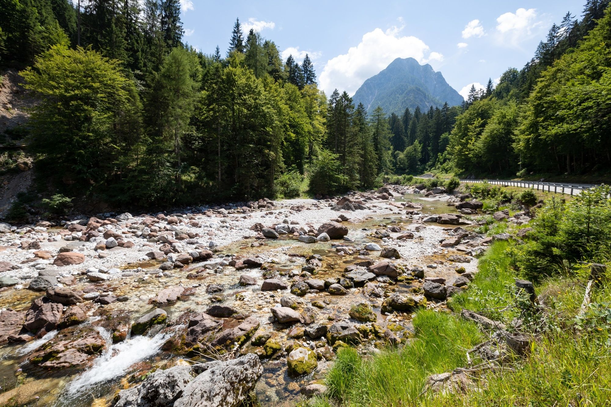
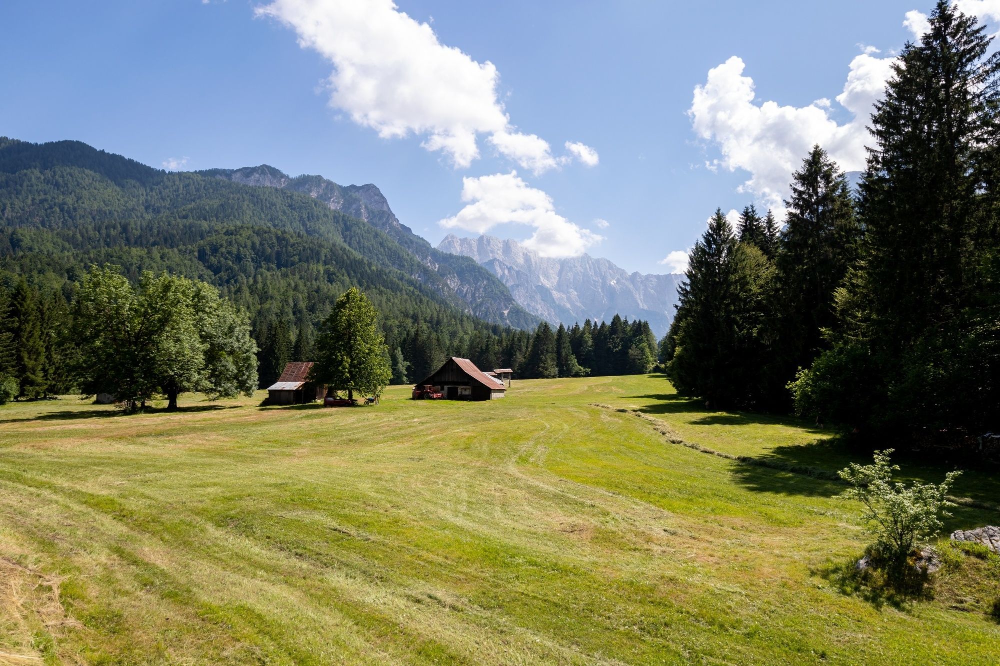
The stage starts in Tarvisio at the Tourist Information Centre. Tarvision is the largest Italian city in this three-border area. The trail runs east toward Slovenia on the cycling-hiking route slightly upwards towards the Rateče border crossing. There it turns to the right, through the village, and crosses the main road at the crossroads to Planica and Tamar Valley, a Nordic centre with ski jumps. The trail also passes the ski slopes under Podkoren, where every year there are world cup slalom and giant slalom races. The local side road takes you past the spring of Sava Dolina River (so-called “Zelenci”) to Kranjska Gora, the winter and summer tourist centre.
- Directions
-
Coming from the centre of Tarvisio, turn east on the main road towards the Slovenian border. Follow the street and after approximately 2 kilometres you will come across an asphalt cycling-hiking route Tarvisio–Kranjska Gora, which we follow slightly uphill to the Slovenian-Italian border crossing Rateče. The trail runs above the villages and the main road.
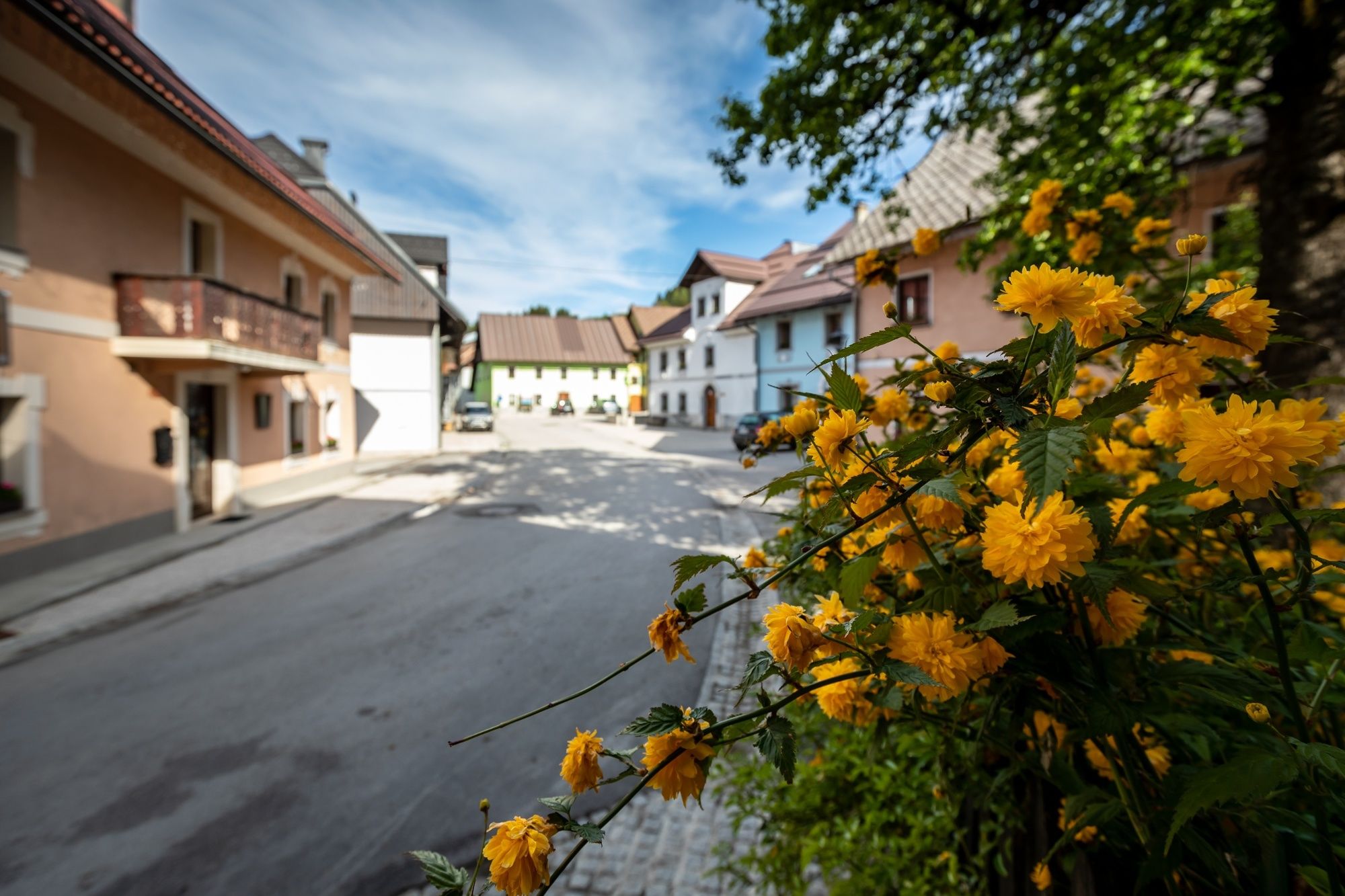
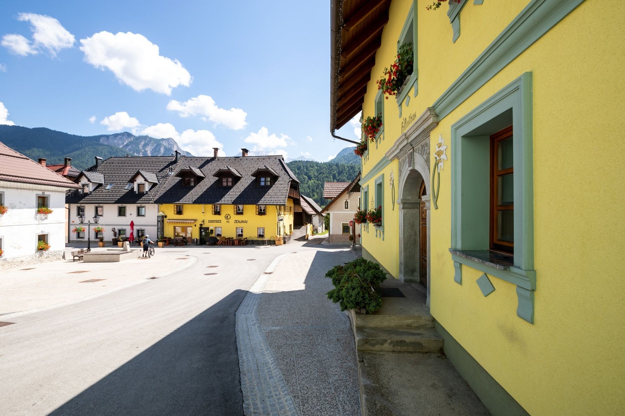
After border crossing turn sharp left and cross the main road Tarvisio–Kranjska Gora and continue to the village Rateče. Here you can find some restaurants and accommodations. At the end of the village, continue across the main road to the asphalt local road that runs along the Sava Dolinka spring (Zelenci), past the Podkoren ski centre in winter or cycling park in summer and finally to the centre of Kranjska Gora. Kranjska Gora is well known for alpine ski world cup competitions and the nearby ski jumps in Planica.
- Highest point
- 873 m
- Endpoint
-
The centre of Kranjska Gora.
- Height profile
-
 © outdooractive.com
 - Equipment
-
Hiking equipment suitable for the season.
- Safety instructions
-
Normal level of caution is recommended, there are no special dangers along the way. In winter or in snow the trail is impassable.
- Tips
-
The stage is long, therefore, you need to bring enough water and lunch.
- Additional information
-
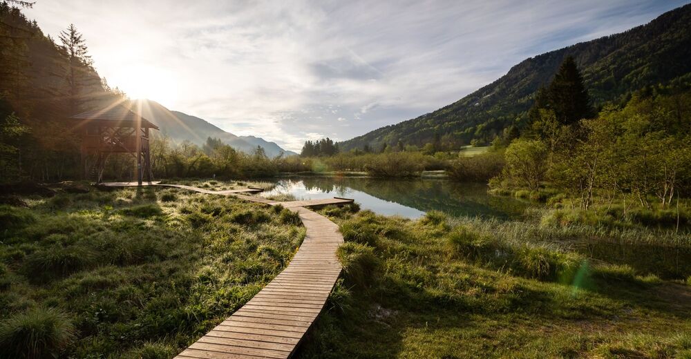
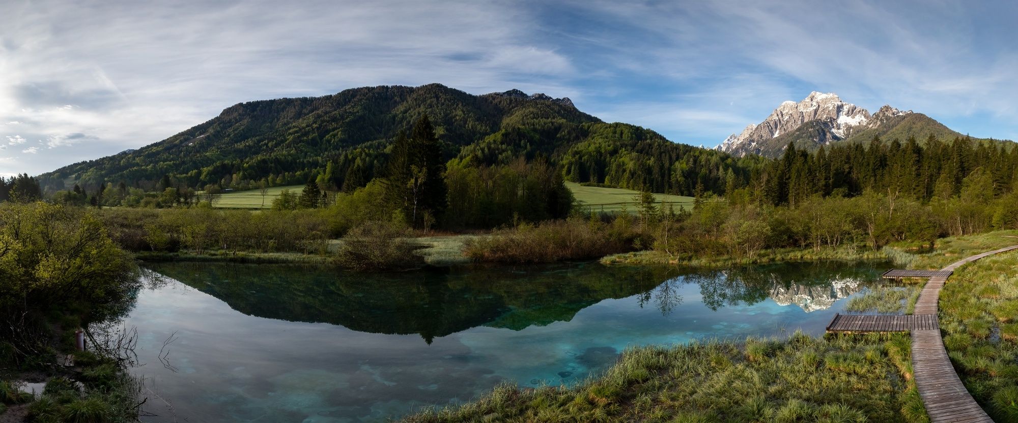
Hint by Triglav National Park: Zelenci nature reserve
In 1992, the area of Zelenci has been proclaimed a nature reserve by way of a Decree of the Municipality of Jesenice. The reserve is home to a wide range of interesting plants, including the carnivorous sundews, while the fauna is dominated by amphibians and bird breeders.
The westernmost part of the reserve is taken up by the emerald-green tarn. Groundwater seeps through the permeable floor of Lake Kreda, stirring up the silt and bubbling to the surface like small volcanoes, which is a unique case in Slovenia.
The water with its many crystal-clear and cool springs has a permanent temperature of 6 degrees Celsius. Special wooden bridges take visitors safely to the lake and around its marshy surroundings.
- Directions
-
Along the Kranjska Gora – Tarvisio – Cave del Predil regional road, or
Bovec – Predil Pass – Cave del Predil
- Public transportation
- Parking
-
Car parks in Cave del Predil.
Car parks in Kranjska Gora.


- Author
-
The tour JULIANA TRAIL: stage 16 Tarvisio (Italy) - Kranjska Gora is used by outdooractive.com provided.