Mt. Matajur (1642 m), a pleasant ascent from the Italian side of the mountain


- Brief description
-
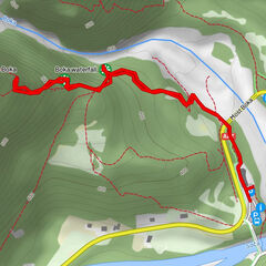
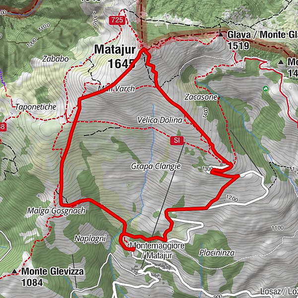
The ascent to Mt. Matajur from the village with the same name (Matajur (Montemaggiore)) located at the Italian side of the mountain is the most comfortable circular tour leading to the top of this exceptional subalpine sightseeing hill.
- Difficulty
-
medium
- Rating
-
- Starting point
-
Village of Matajur/Montemaggiore
- Route
-
Dom na Matajure2.2 kmMatajur (1,645 m)2.7 km
- Best season
-
JanFebMarAprMayJunJulAugSepOctNovDec
- Description
-
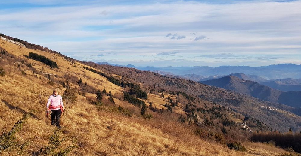
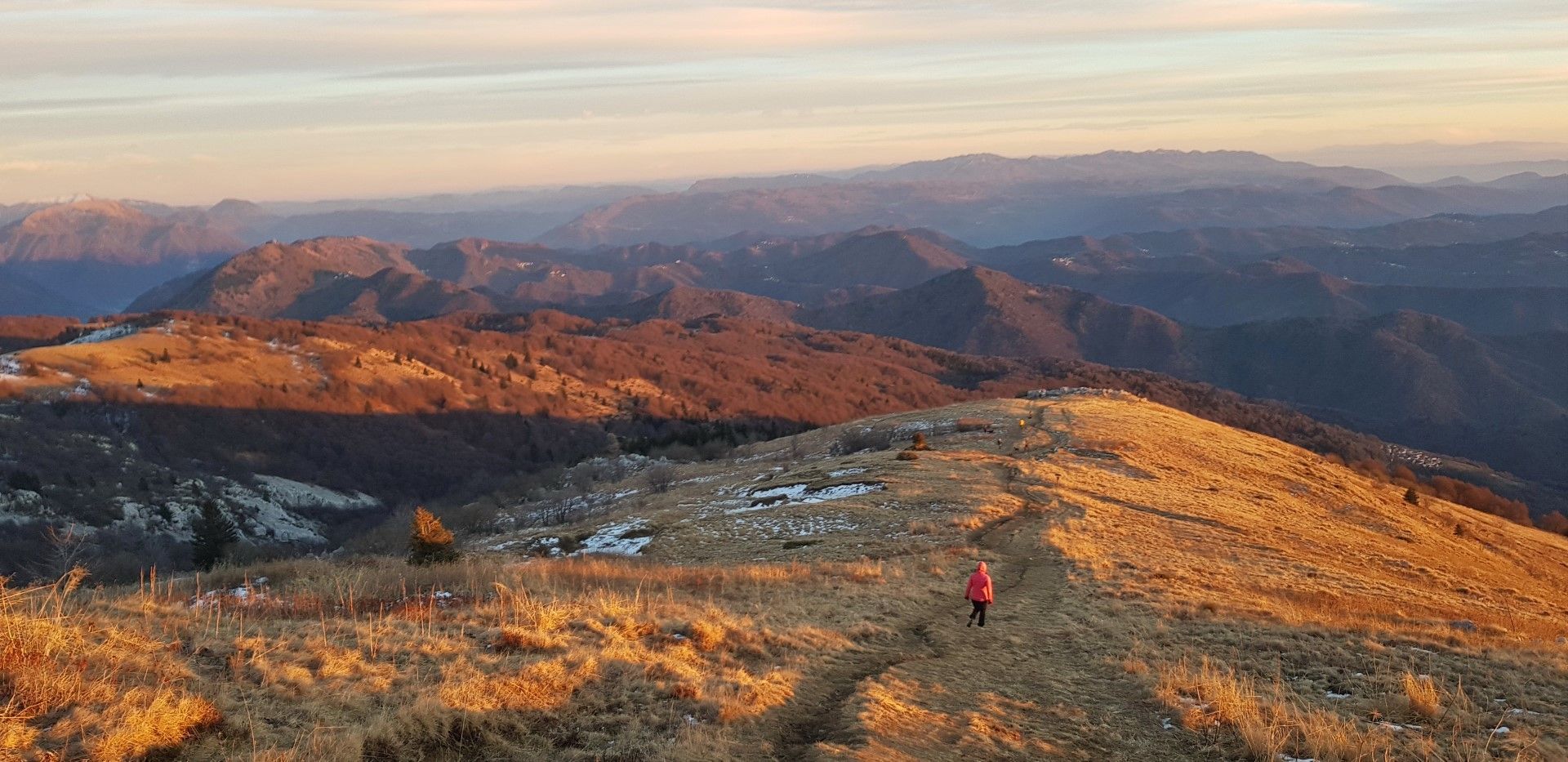
The ascent to Mt. Matajur from the Italian side of the mountain is routed along sunny sightseeing slopes all the way to the top. The shortest access (a full half-hour) to the mountain starts at the Pelizzo Mountain hut at the very end of the road from the village of Matajur. The purpose of this tour is walking, therefore it is worth parking your car just above the village and make this tour a pleasant circular tour where you ascend on one side and descend on the other side of the mountain. This version is also short. In just three hours you can easily make the entire circular tour, which is why this ascend is very appropriate for morning or afternoon trips.
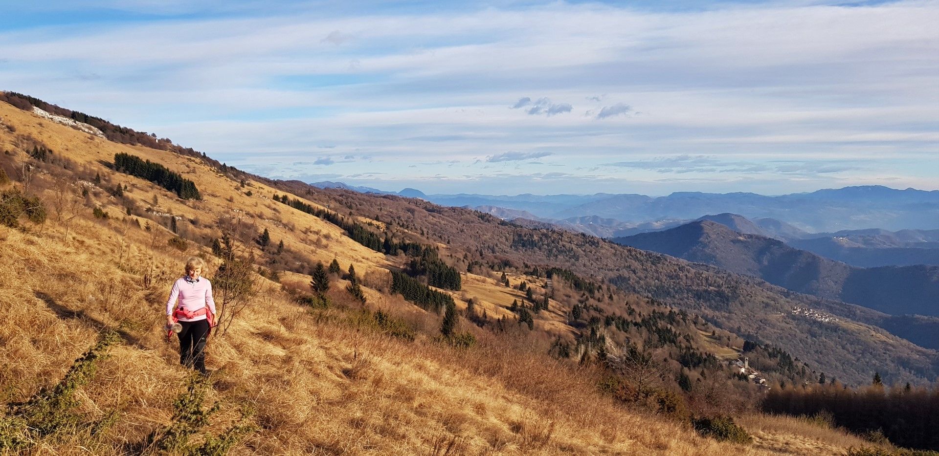
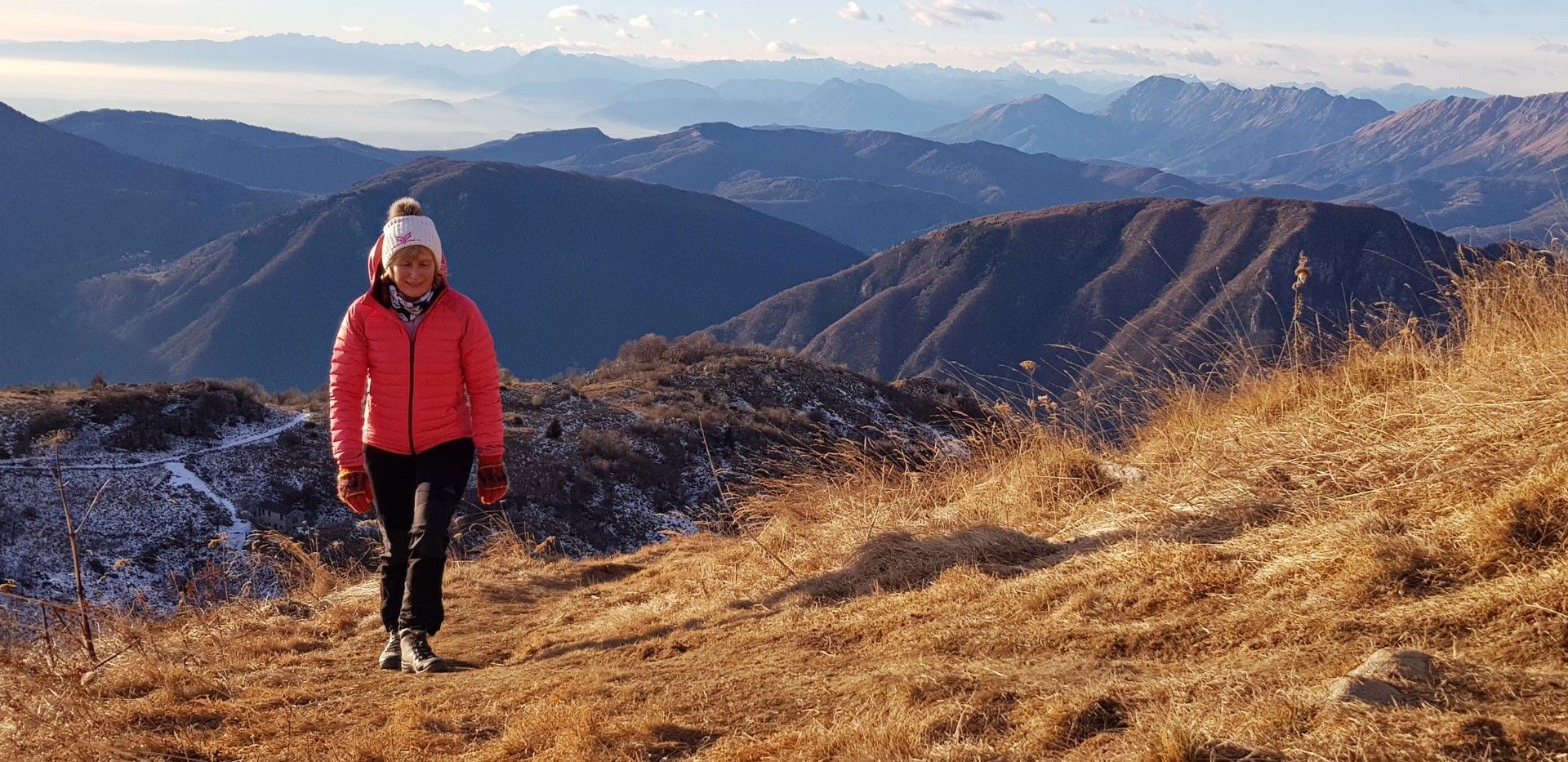
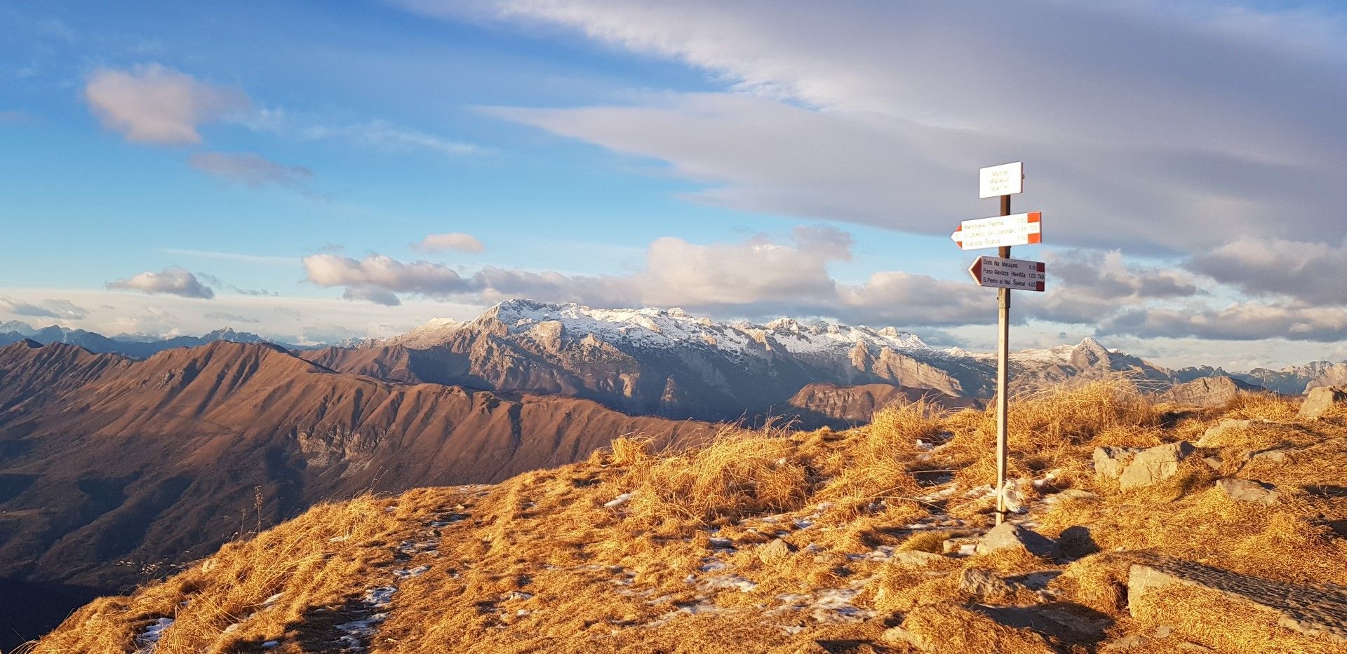
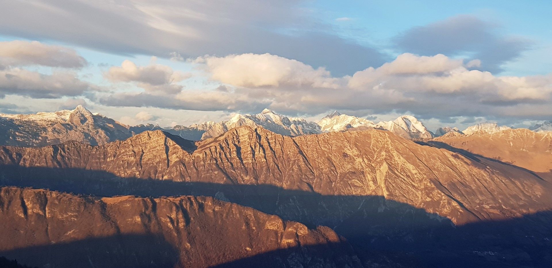
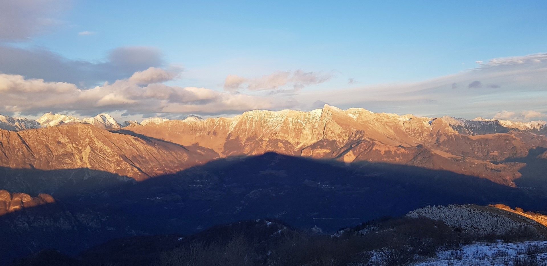
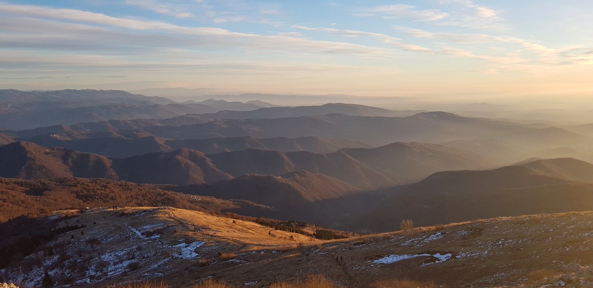
This tour is distinguished by splendid views of: the Region of Veneto and the plains of the Po River at first, and the Breginjski kot Valley, Nadiža Valley and across Mt. Kanin after you reach the ridge. At the top, you can enjoy in views of the entire Julian Alps and the Tolmin area with Mt. Krn in the front.
- Directions
-
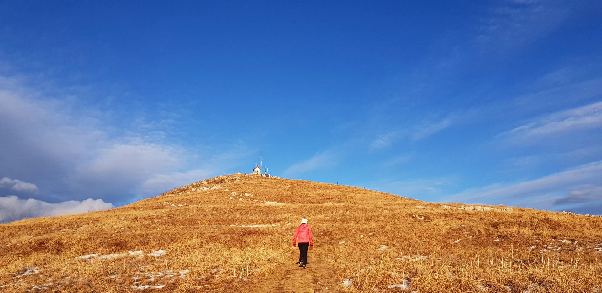
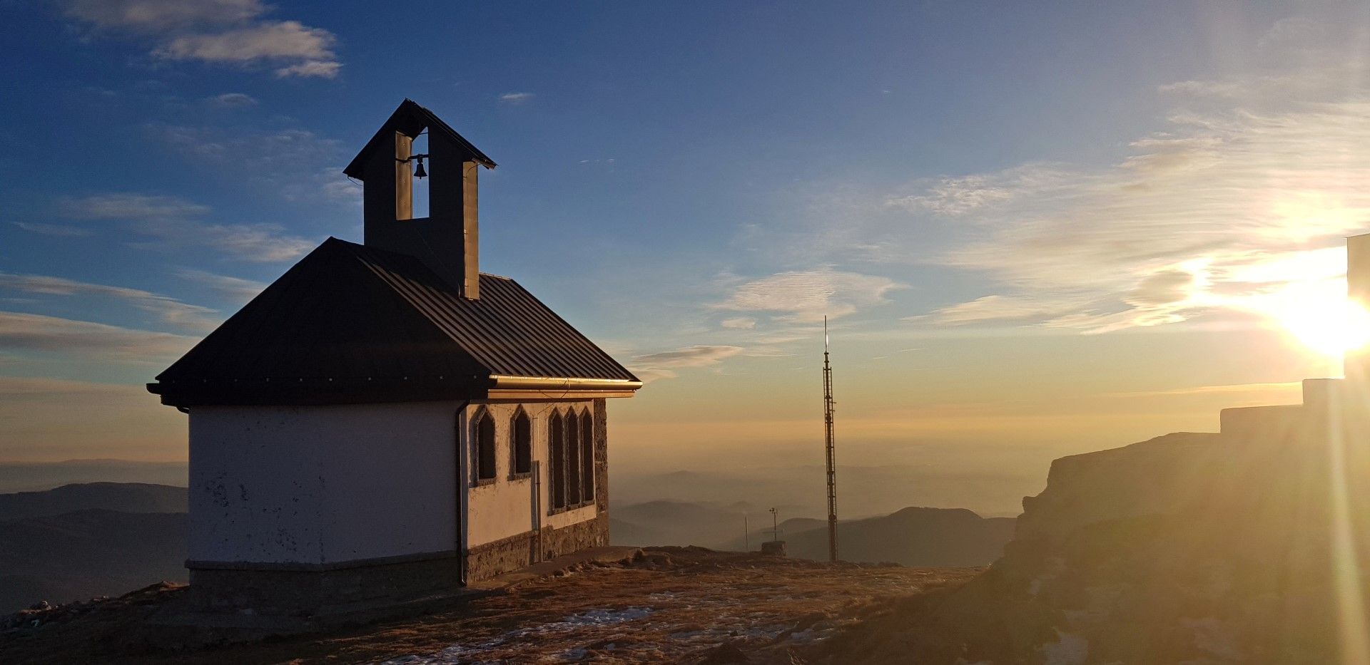
At the first bend above the village turn to the trail leading straight uphill and later to the left to the abandoned military barrack at the edge of the tree-line. Continue along increasingly open slopes to the rounded ridge. By following this ridge you will first arrive to the Slovenian Dom na Matajure Mountain hut and later to the Chapel of the Christ the Redeemer at the highest point.
The chapel includes a vestibule which serves as a perfect shelter in case of windy or bad weather.
Return along the gentle slope to the Pelizzo Mountain hut which you notice in front of you, and continue along the road back to the starting point.
- Highest point
- 1,624 m
- Endpoint
-
Village of Matajur/Montemaggiore
- Height profile
-
 © outdooractive.com
 - Equipment
-
Usual hiking equipment appropriate for the season and weather conditions.
- Safety instructions
-
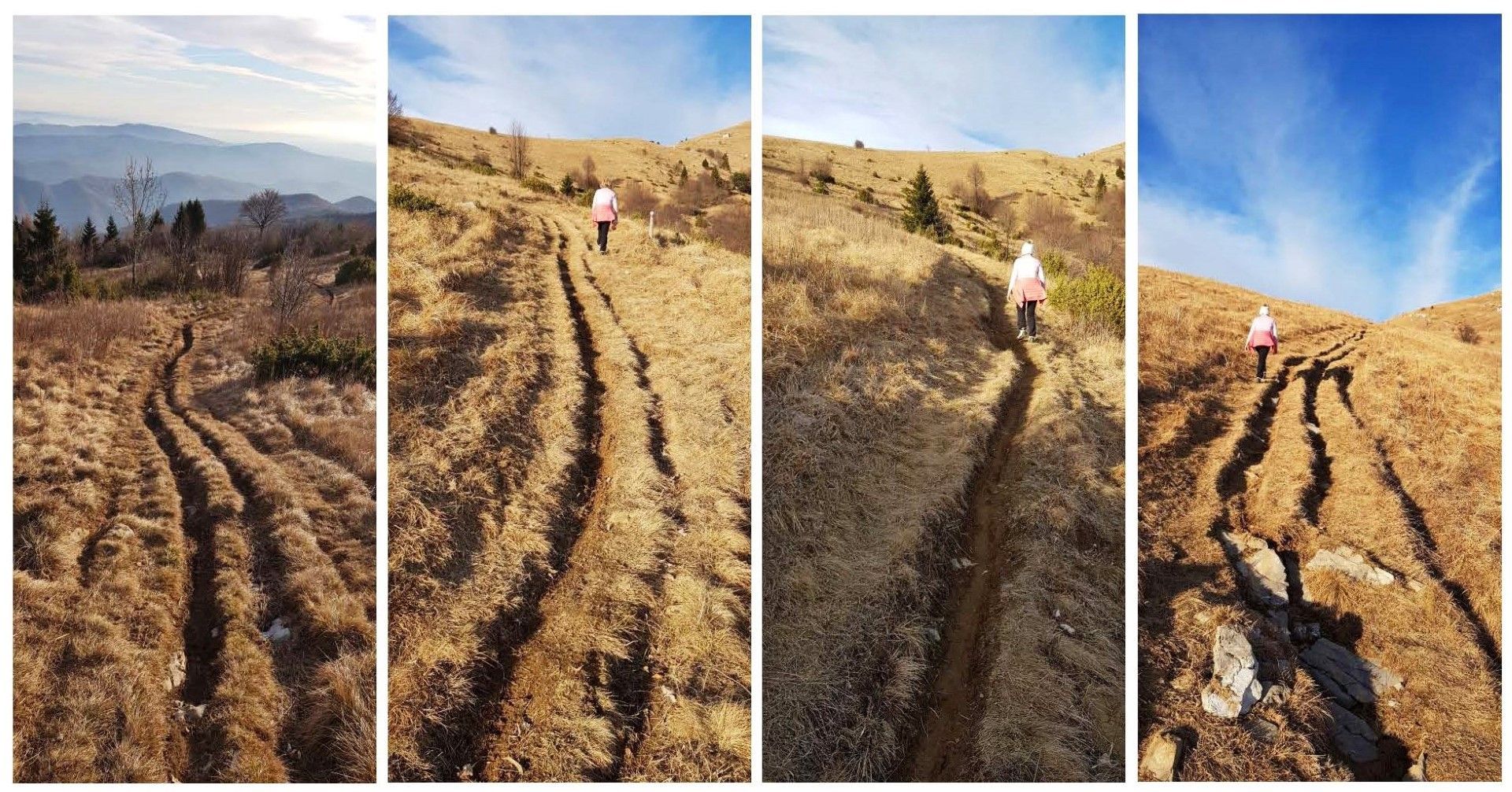
At the start of the ascent you might be troubled by occasional deep ruts left behind by mountain bikers descending from the top of Mt. Matajur back into the valley.
- Tips
-
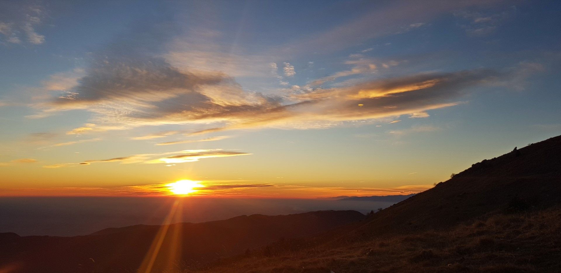
I highly recommend you to make an afternoon ascend and watch the sunset from the top. After this magnificent show you will have enough time to catch the last daylight to descend to the road next to the Pelizzo Mountain hut and return to your starting point.
- Directions
-
Leave the main road along the Soča Valley in the village of Idrsko in front of the town of Kobarid. Drive to the mountain village of Livek, descend to the Italian side of the mountain, and continue along the ascent through the village of Čepletišče to the village of Matajur/Montemaggiore where you start your tour.
- Public transportation
-
There is no public transportation available.
- Parking
-
Find a place by the road immediately above the village.

-

-
AuthorThe tour Mt. Matajur (1642 m), a pleasant ascent from the Italian side of the mountain is used by outdooractive.com provided.


General info
-
Cividale / Natisone-Täler
192
-
Kobarid
117