
- Brief description
-
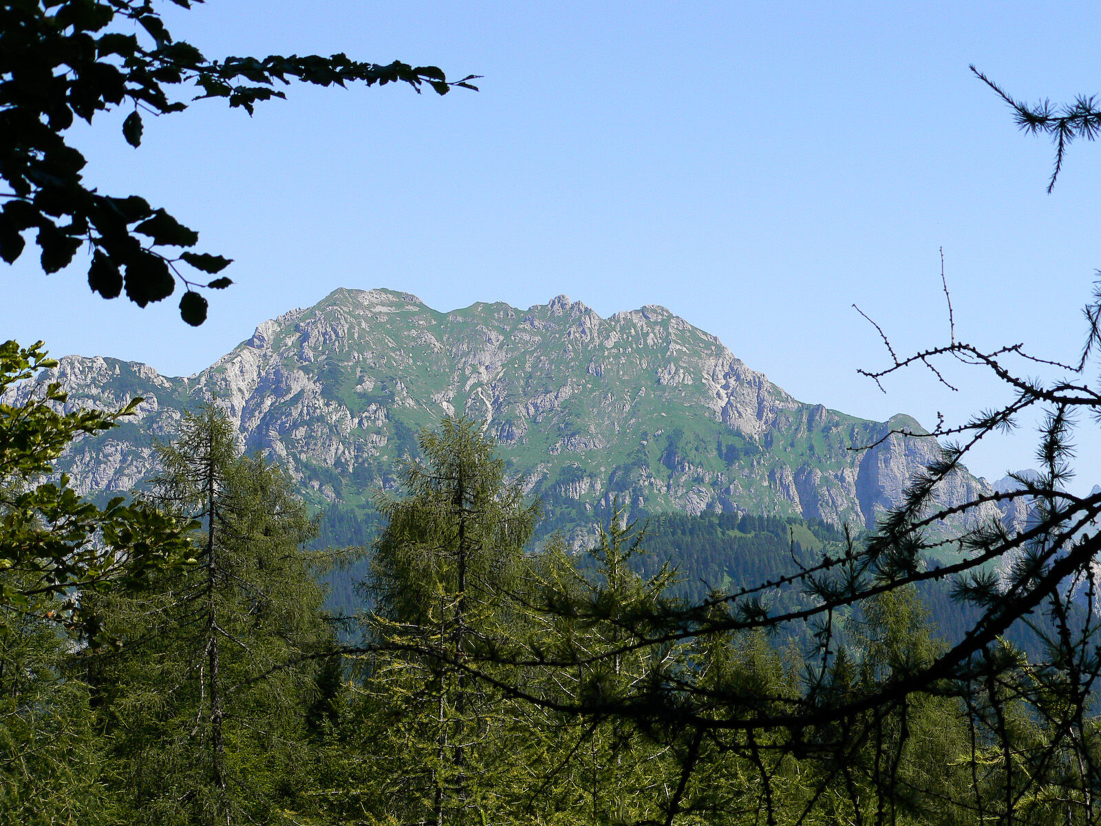
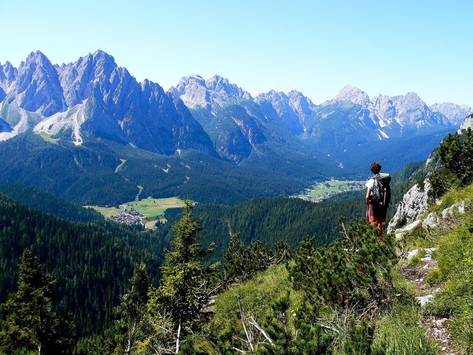
A massive complex that rises isolated and closed off to the north by the grassy ridge of the Pale di Linc towards which juts a large rocky mountainside to the south from the Pescol pass and Mount Chiaine, intersected by debris canals. Westwards it dominates the central sector of the val Sesis with its polished and vertical outliers.
- Difficulty
-
medium
- Rating
-
- Route
-
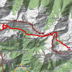
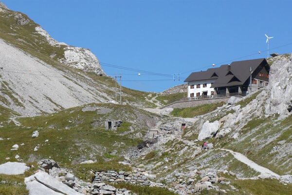
Rifugio Piani del Cristo0.0 kmKadin Kofel (2,287 m)4.2 km
- Best season
-
JanFebMarAprMayJunJulAugSepOctNovDec
- Description
-
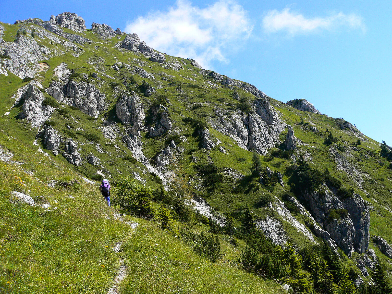
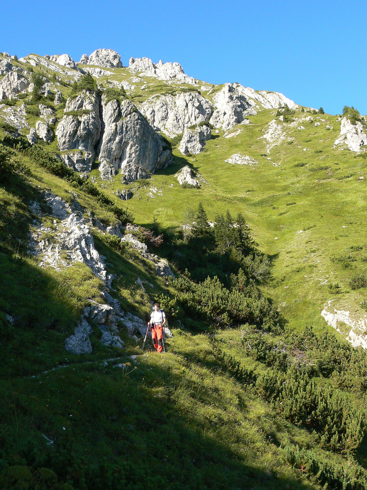
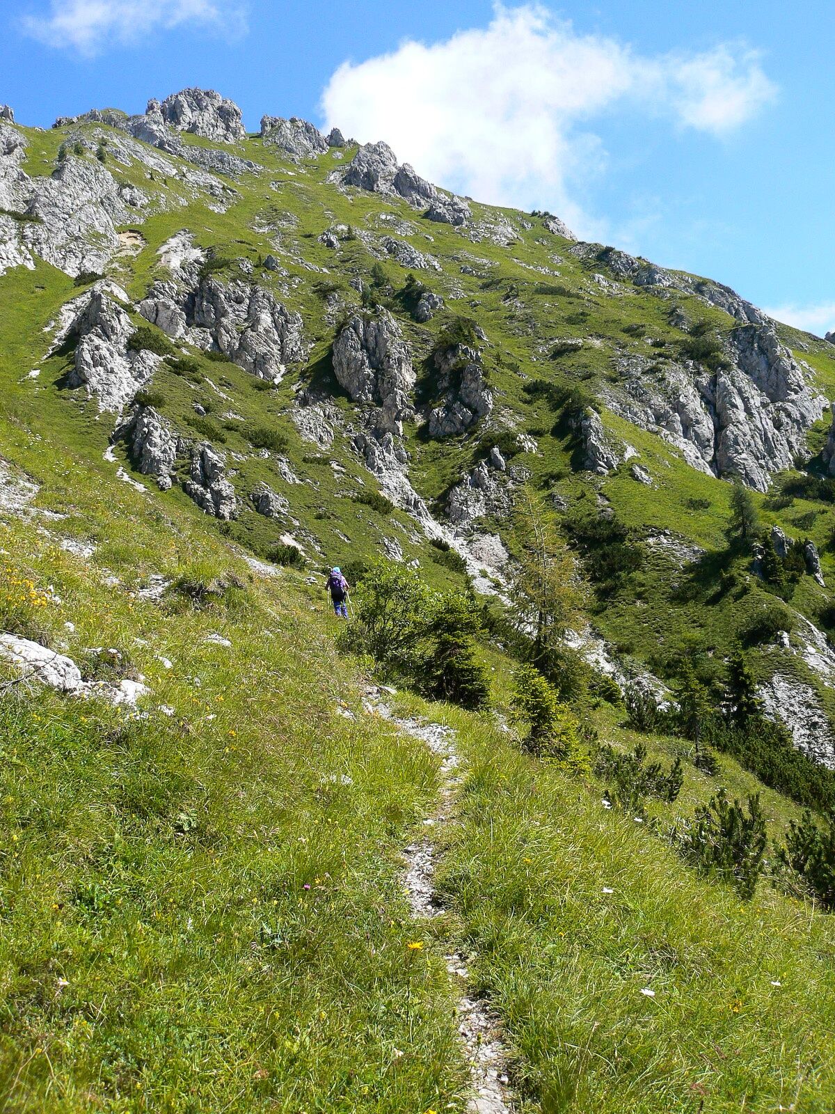
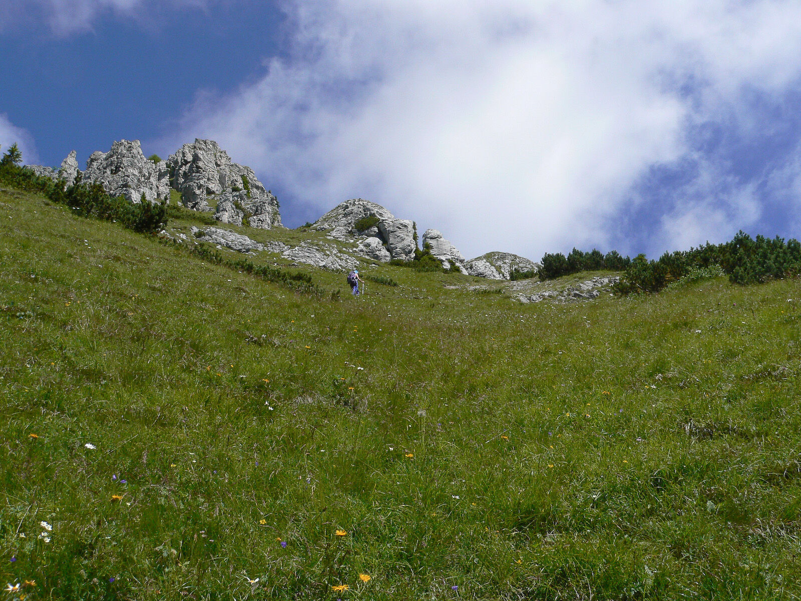
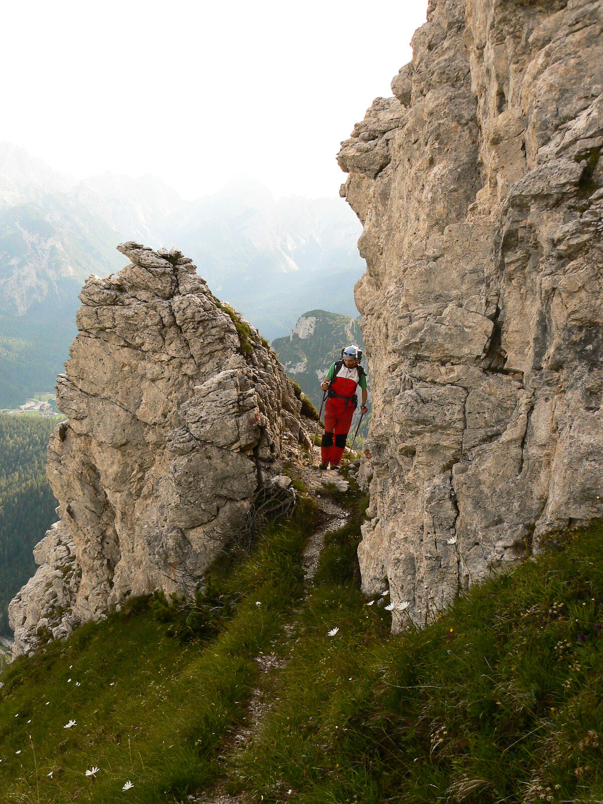
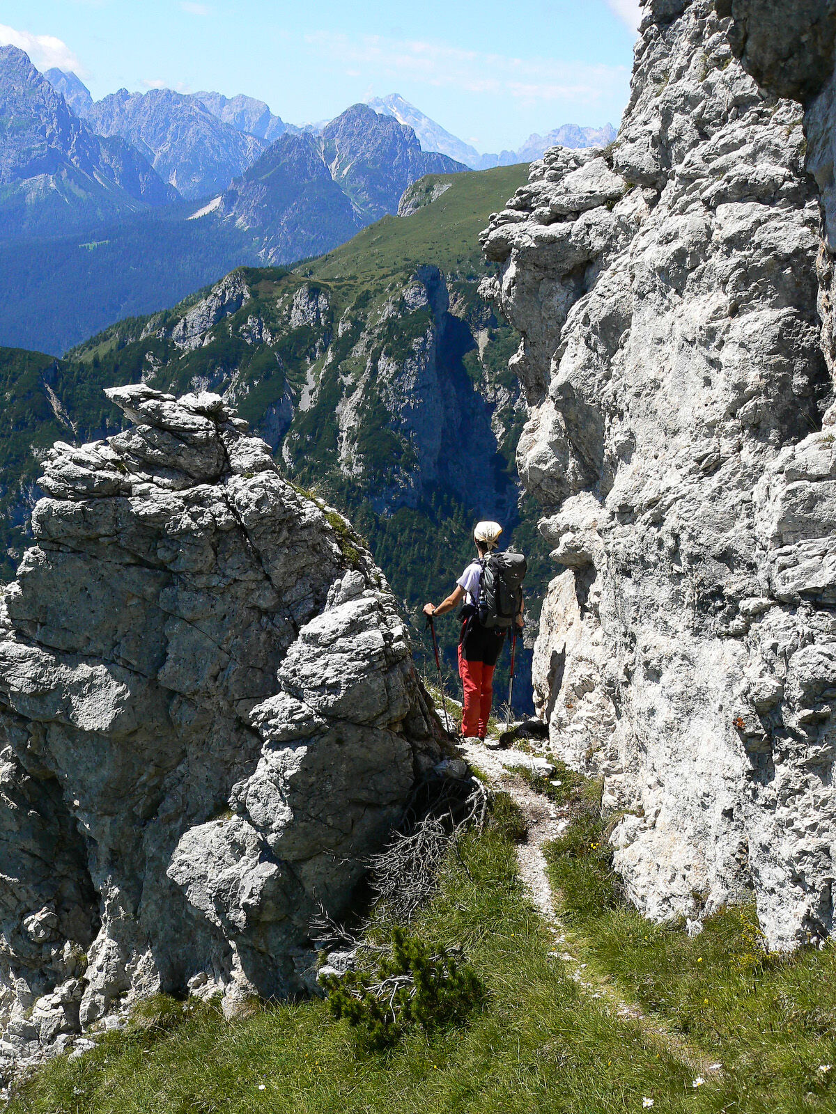
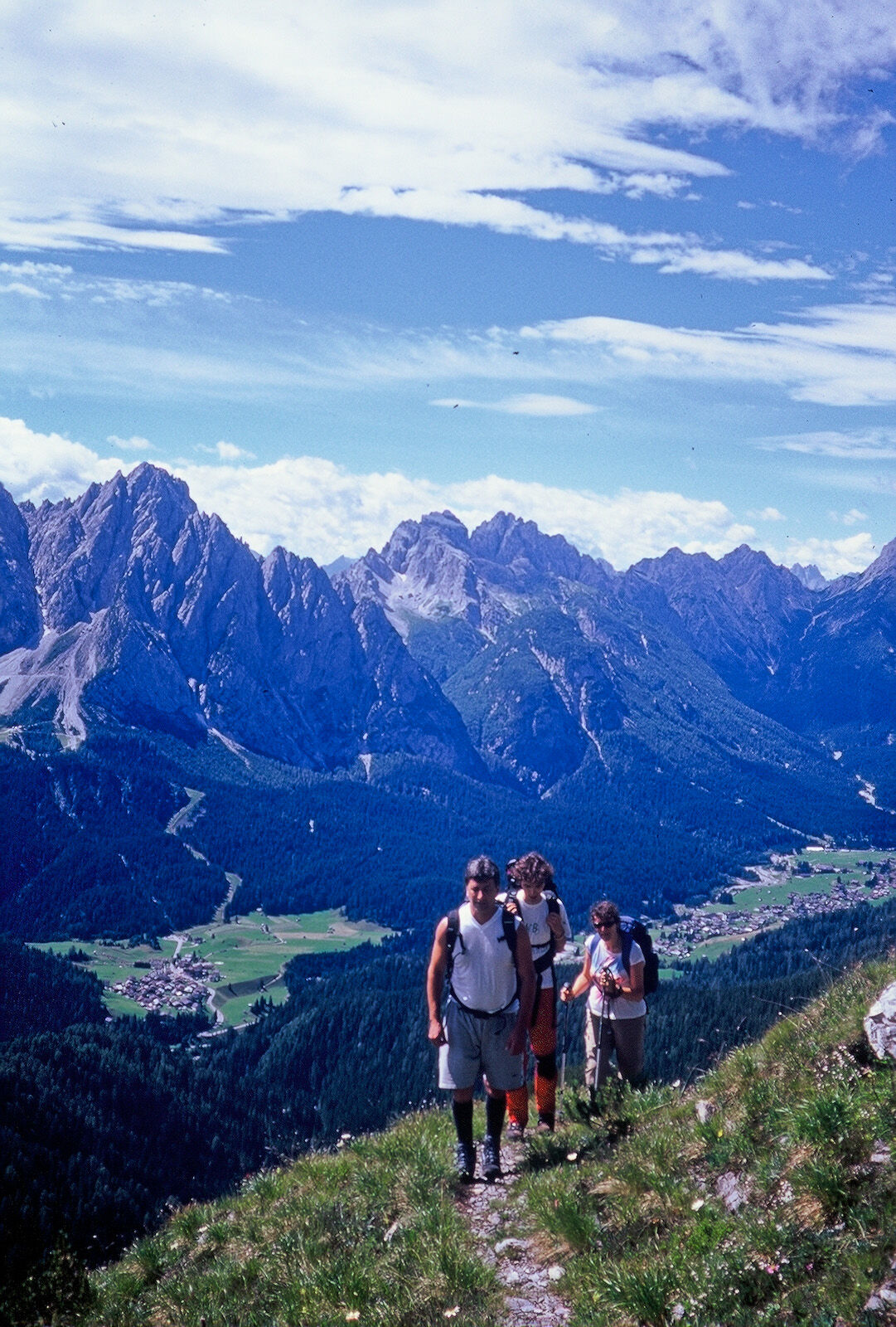
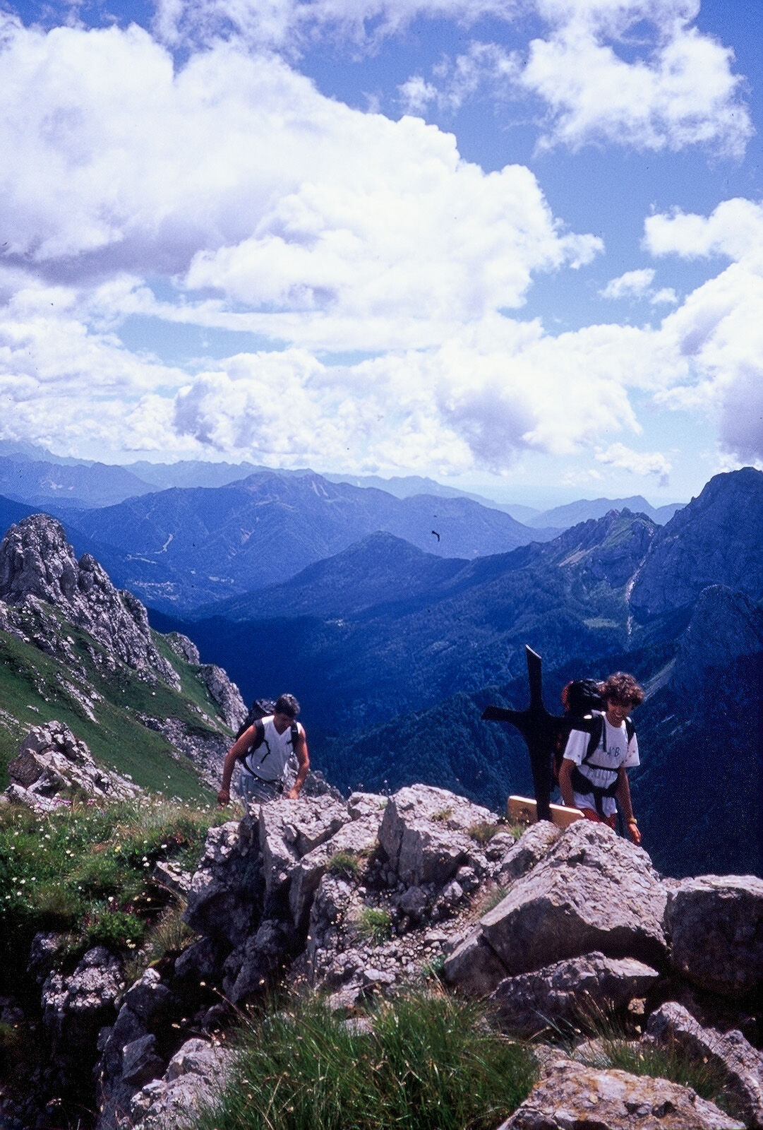
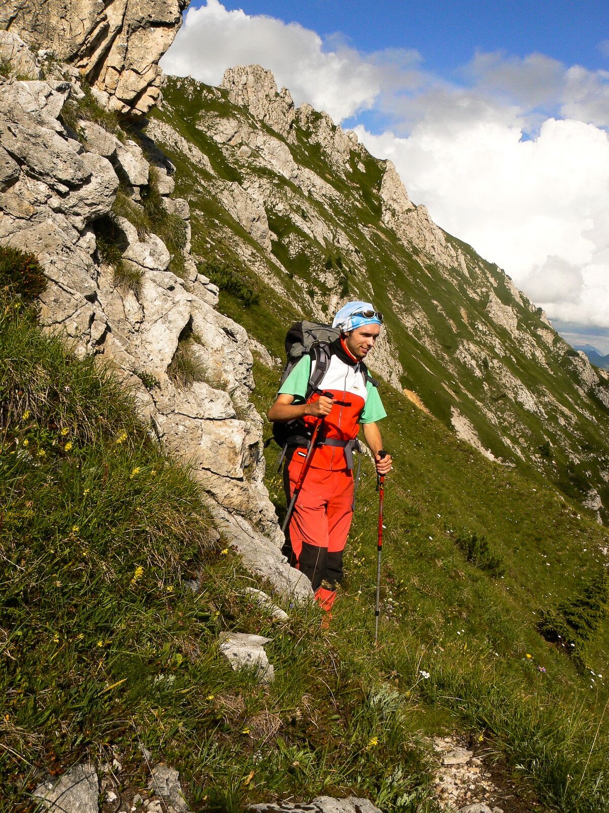
To look at, this mountain is not very attractive either on the southern slope, given the presence of steep meadows, nor on the northern side, with very friable rocky ridges alternating with landslide gullies. This said, the climb to the summit is a must for several reasons: first, for its ease of access and then the magnificent almost 360° panorama that you will enjoy from the top of this isolated peak (with unobstructed views across the valley of Sappada and its crags) and finally for its rarefied atmosphere. The itinerary, sunny and, in general, not particularly strenuous, in the second part follows the fine First World War mule track, now often reduced to a very narrow path that along some sections is also quite exposed.
- Directions
-
Follow itinerary n. 21 (in the Walking section) up as far as a few hundred metres from the Pescol pass where, on a boulder located at a crossroads, the words “monte Chiadin” indicate the beginning of a track to the left that heads northwards through the meadows. At a new fork a little further on, continue left again (a typical wooden signpost with red and white stripes attached to a spruce tree) as far as the lower limit of the woodland. Here the track gets a little slippery and difficult (especially after recent and / or intense rains) and quite steep until after the final conifers where it meets the old war mule-track which only here and there is quite well preserved and which crosses a steep and very wide grassy ridge with large and comfortable enough (although often exposed) turns. (attention: a short passage across rocks requires caution). On the final part the track stays just below the ridge, for a moment overlooking the val Avanza before, with tight hairpins between patches of turf, leading on to the small cross on the summit.
Return
The descent to the Piani del Cristo takes place along the route used for the ascent.
- Highest point
- 2,244 m
- Endpoint
-
Monte Chiadin
- Height profile
-
 © outdooractive.com
 - Safety instructions
-
Difficulty: E with a few short sections of EE

-

-
AuthorThe tour 30 MONTE CHIADIN - Sappada is used by outdooractive.com provided.