
- Brief description
-
With great anticipation of the Adriatic Sea, we set off on the last stage of the Alpe Adria Trail, which will finally lead the tireless hikers to the end point in Muggia.
- Difficulty
-
medium
- Rating
-
- Starting point
-
Bagnoli della Rosandra
- Route
-
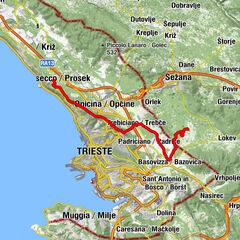
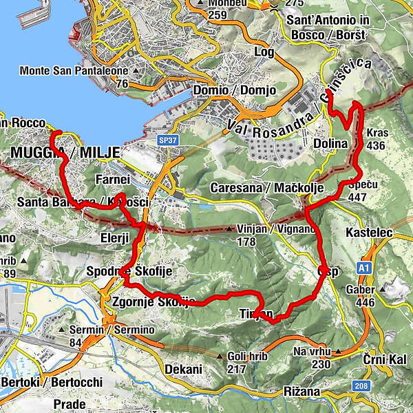
Bagnoli della RosandraBar Rosandra0.0 kmAgriturismo Zobec0.0 kmCrogole0.7 kmVedetta di Crogole1.6 kmMonte Carso (457 m)2.6 kmKras (436 m)3.1 kmŠpeču (447 m)5.0 kmS 10 (Socerb) (420 m)5.1 kmCraneglie5.4 kmRestavracija5.4 kmSan Servolo5.6 kmSv. Socerb5.6 kmKal Prebenek (208 m)6.8 kmSan Pietro e Paolo8.3 kmPri Vovku8.6 kmOspo8.6 kmGolo brdo (120 m)9.6 kmAntignano (374 m)11.4 kmAntignano11.5 kmAlbaro Vescovà di Sopra15.2 kmScoffie16.3 kmBuža17.1 kmValico di Rabuiese18.1 kmSanta Barbara21.1 kmPremanzano21.1 kmPiasò22.0 kmMulgs (2 m)22.7 kmDuomo dei Santi Giovanni e Paolo23.7 km
- Best season
-
JanFebMarAprMayJunJulAugSepOctNovDec
- Description
-
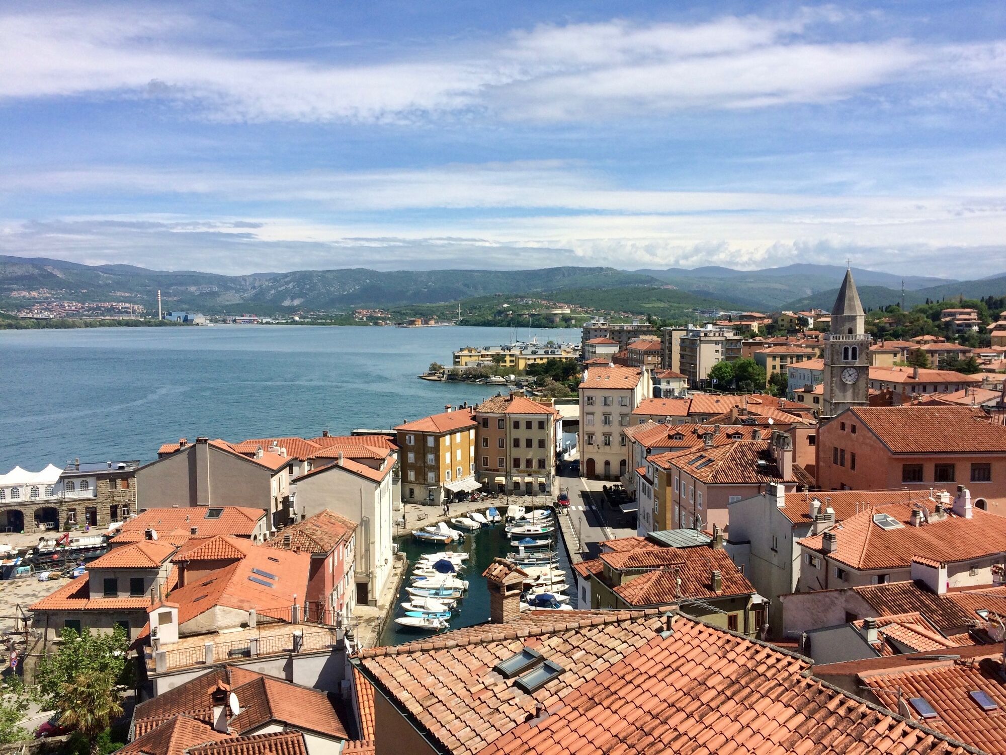
We are almost at the end and will soon reach our eagerly awaited destination. We can already smell the Mediterranean and set off with a certain anticipation of reaching the Adriatic. The trail leads from Val Rosandra to the Socerb castle ruins, which treat us to beautiful views, and then on to the Slovenian Osp valley and on a gentle descent through the small village of Tinjan towards the coast. This stage, which has been redesigned since 2021, leads from Italy via Socerb to Slovenia and back to Italy at Rabuiese. Once in Muggia, all that remains is to reward yourself with delicious fish dishes and a well-deserved swim in the sea.
- Directions
-
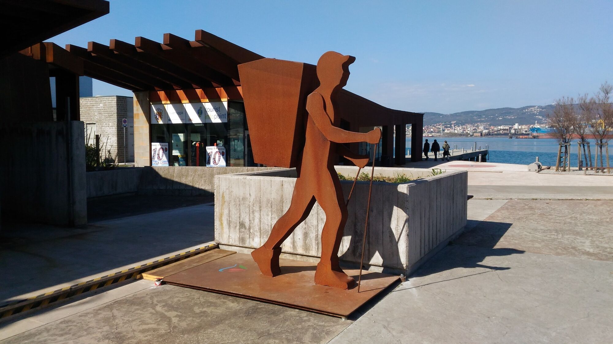
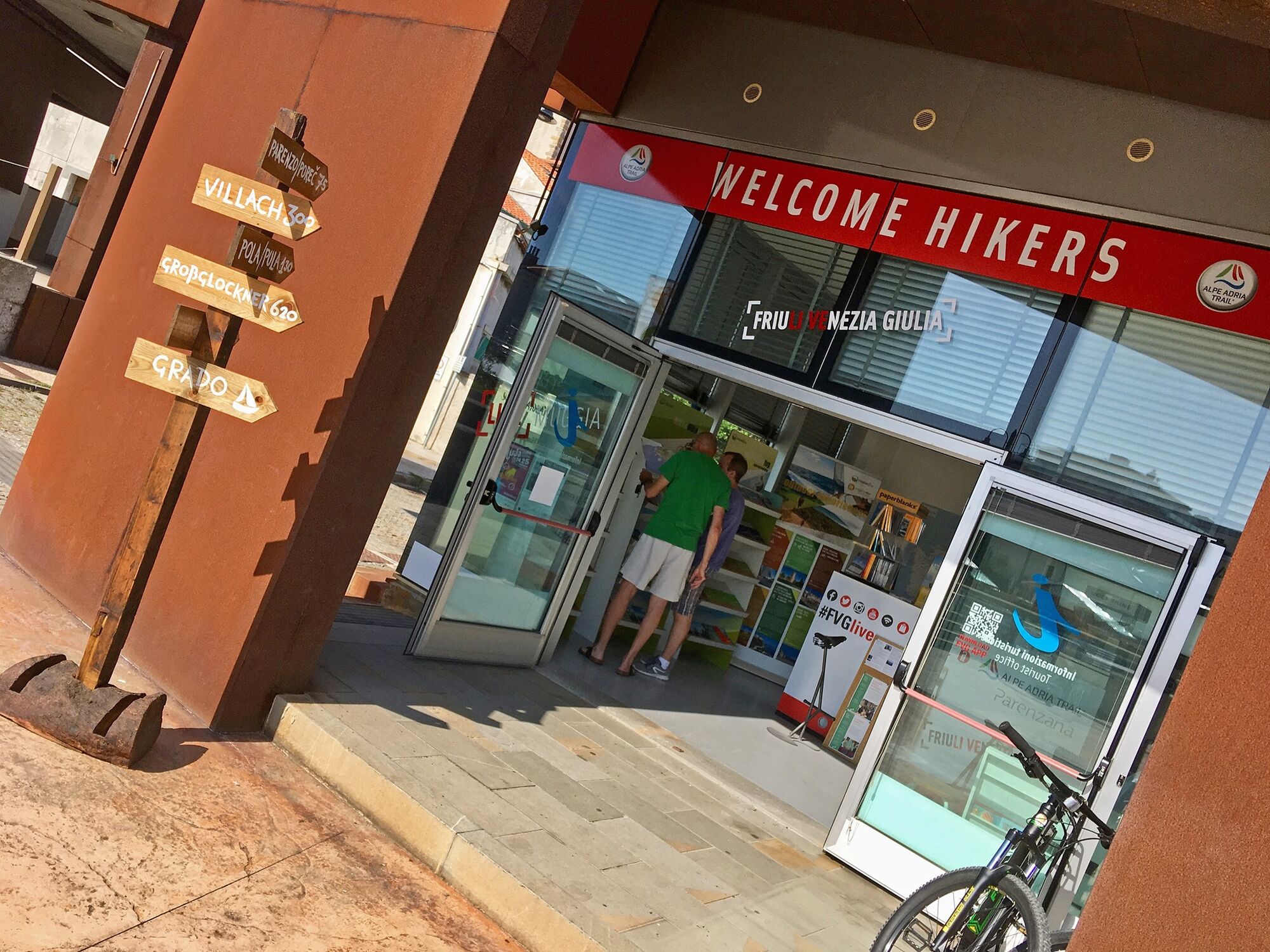
From the village of Bagnoli della Rosandra we come past several springs and then along the provincial road SP11 to Crogole, left on CAI 46a to Monte Carso. From the top of Monte Carso we continue along a wide path to Socerb Castle. From there, we turn right down the road and then take shortcuts to the left to the village of Osp. In the village, we turn right again and go up to the top of Tinjan. From there right downhill through the valley below Urbanci to Spodnje Škofije and right on the Parenzana trail to the Slovenian-Italian border at Škofije. We reach Italy and there we follow the signs (trail CAI 1) up to the little church of Santa Barbara high in the hills of Muggia. The last part of the trail leads us along the provincial road SP16 (again CAI 1) down to the centre of Muggia where the Alpe-Adria-Trail Welcome Centre awaits hikers in Via Alessandro Manzoni 2, directly by the sea.
Highlights along the way:
Val Rosandra (Dolina Glinščice): The Rosandra Valley surrounds the Rosandra River in the Italian municipality of San Dorligo della Valle. It is the only valley in the Trieste Karst and was declared a nature park in 1996. The northern part of the valley reaches across the border to Slovenia. The valley is also a popular recreation area for the people living nearby.
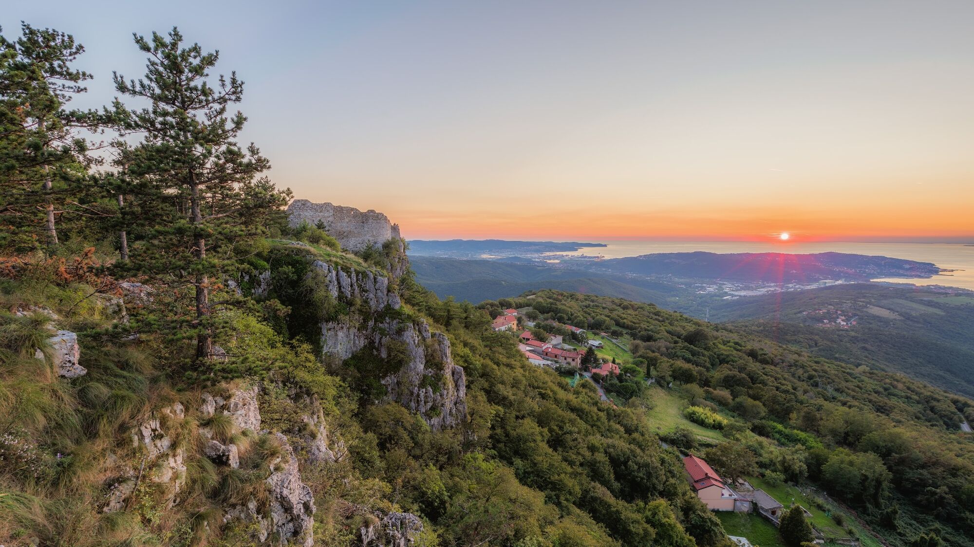
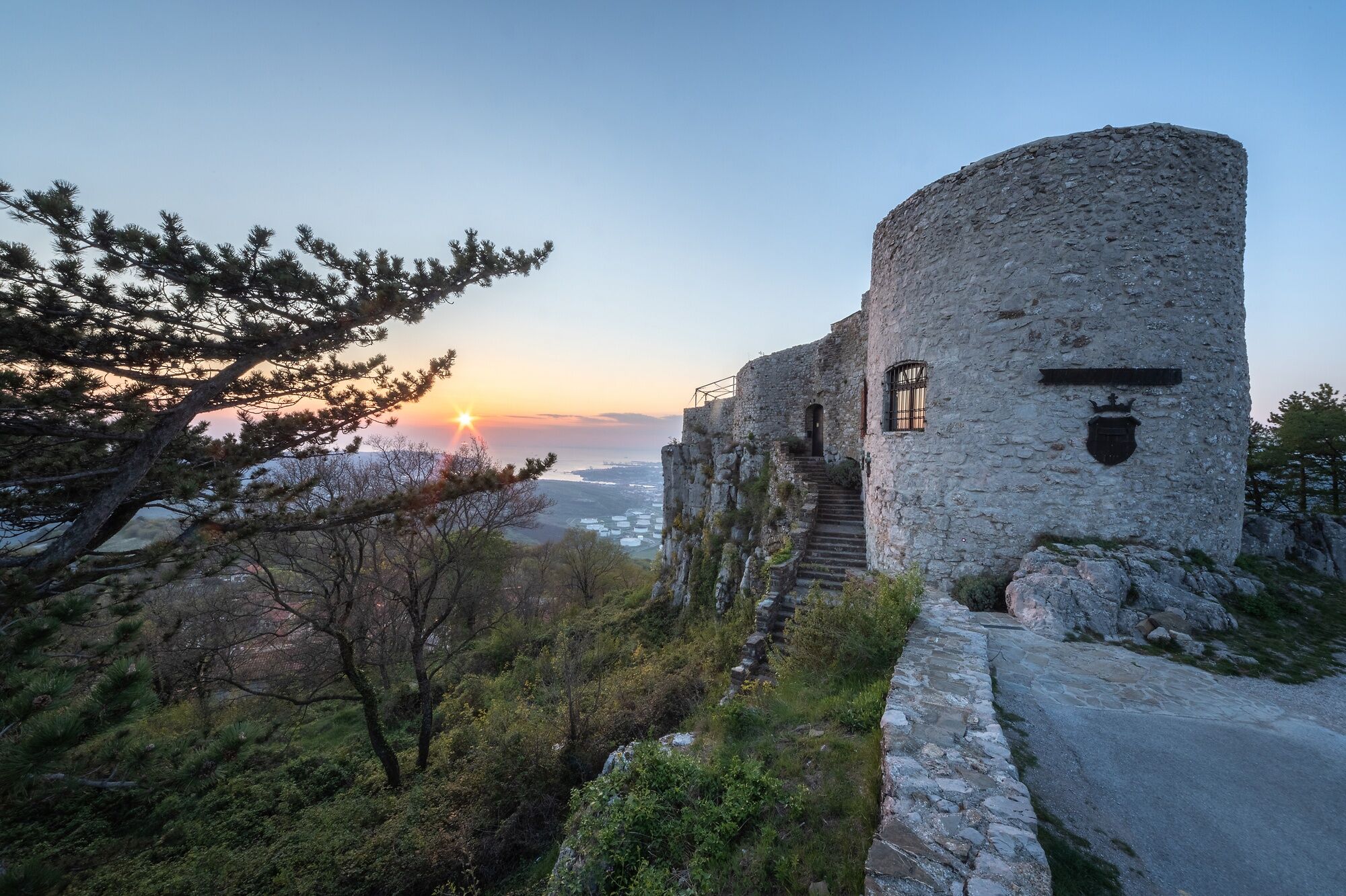
Socerb Castle: the castle near the village of Socerb lies on the karst edge above the Gulf of Trieste. It was first mentioned as early as the 14th century and had an extremely strategic position.
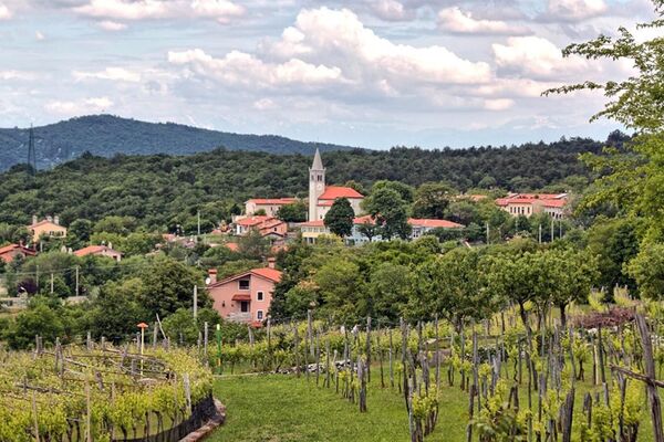
Osp: is one of the oldest Slovenian villages, mentioned back in the 11th century. In the wall above the village is Osp Cave, also called Grad Cave, where the Osp River originates. The wall is also known for its climbing routes.
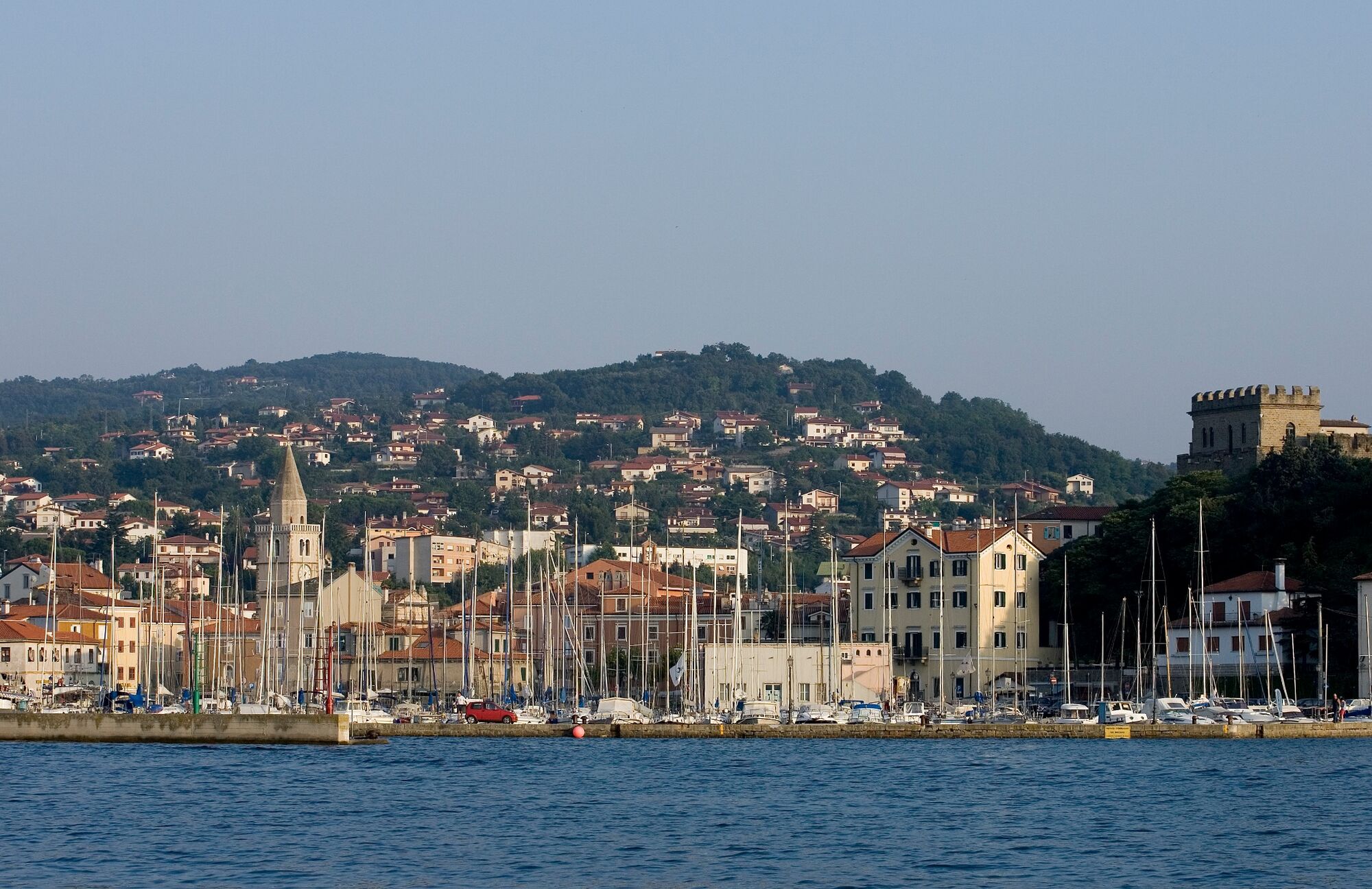
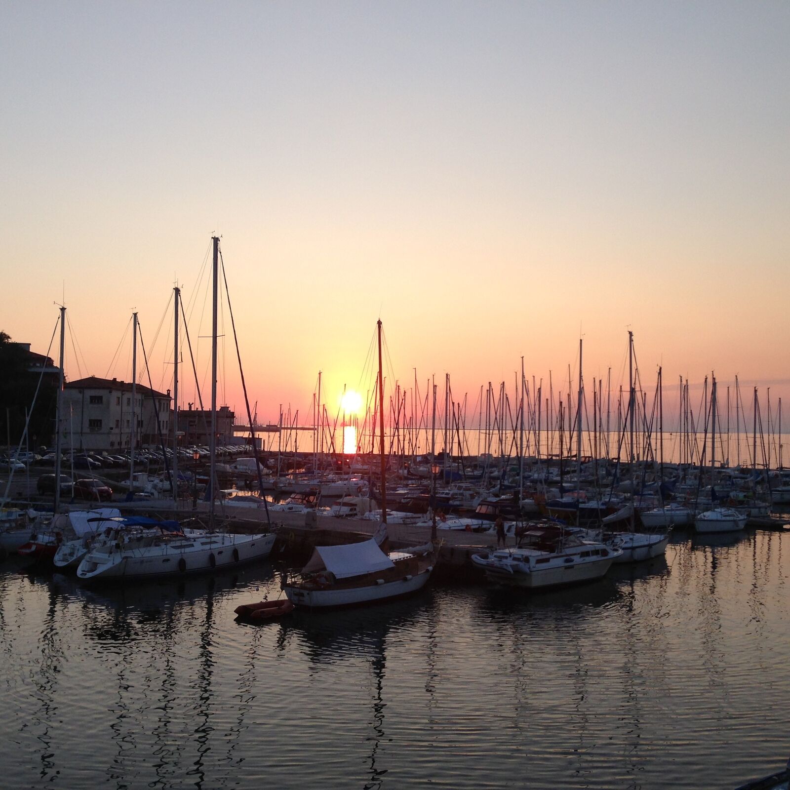
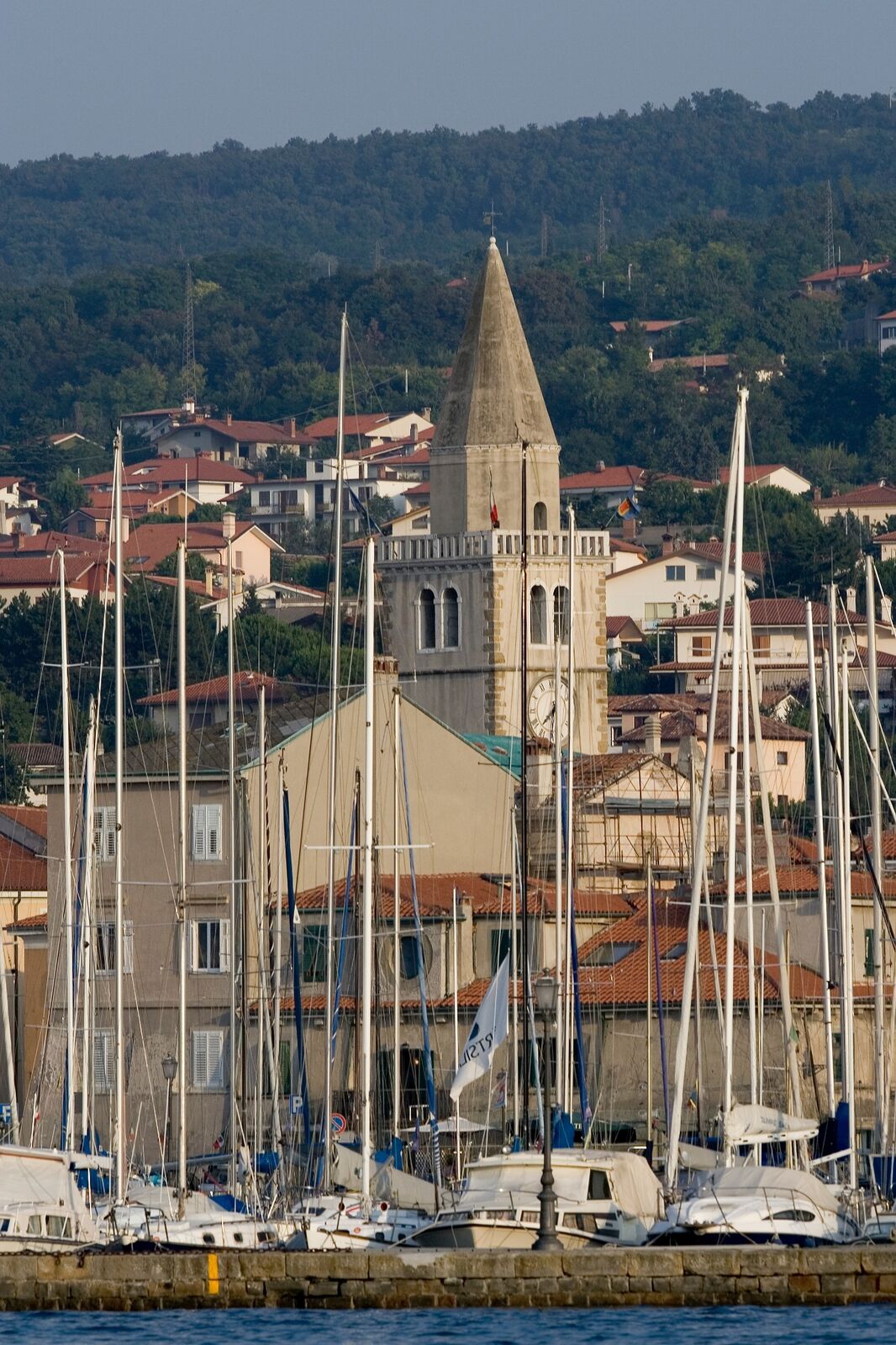
Muggia: This small town originated from an old fortification, of which long sections of medieval wall foundations still stand. The oldest parts of the settlement can be traced back to the hill forts of Santa Barbara and Muggia Vecchia.
- Highest point
- 449 m
- Endpoint
-
Muggia
- Height profile
-
 © outdooractive.com
 - Safety instructions
-
Attention: Due to forest fires at the beginning of August in the Socerb area (SLO), the nature there is damaged accordingly, but the stage is passable.
As an alternative, the old route via San Dorligo della Valle can be taken.
- Tips
-
The boat takes you from Muggia to Trieste and back several times a day.
https://www.triestetrasporti.it/en/time-schedule-and-routes/sea-lines/trieste-muggia
- Author
-
The tour ST37 AAT: Bagnoli della Rosandra - Muggia is used by outdooractive.com provided.