

- Brief description
-
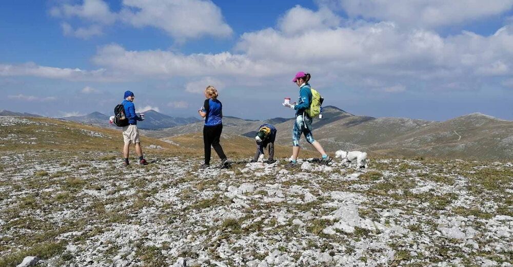
A unique hiking trail with beautiful views and great internal diversity.
- Rating
-
- Starting point
-
Lukomir
- Route
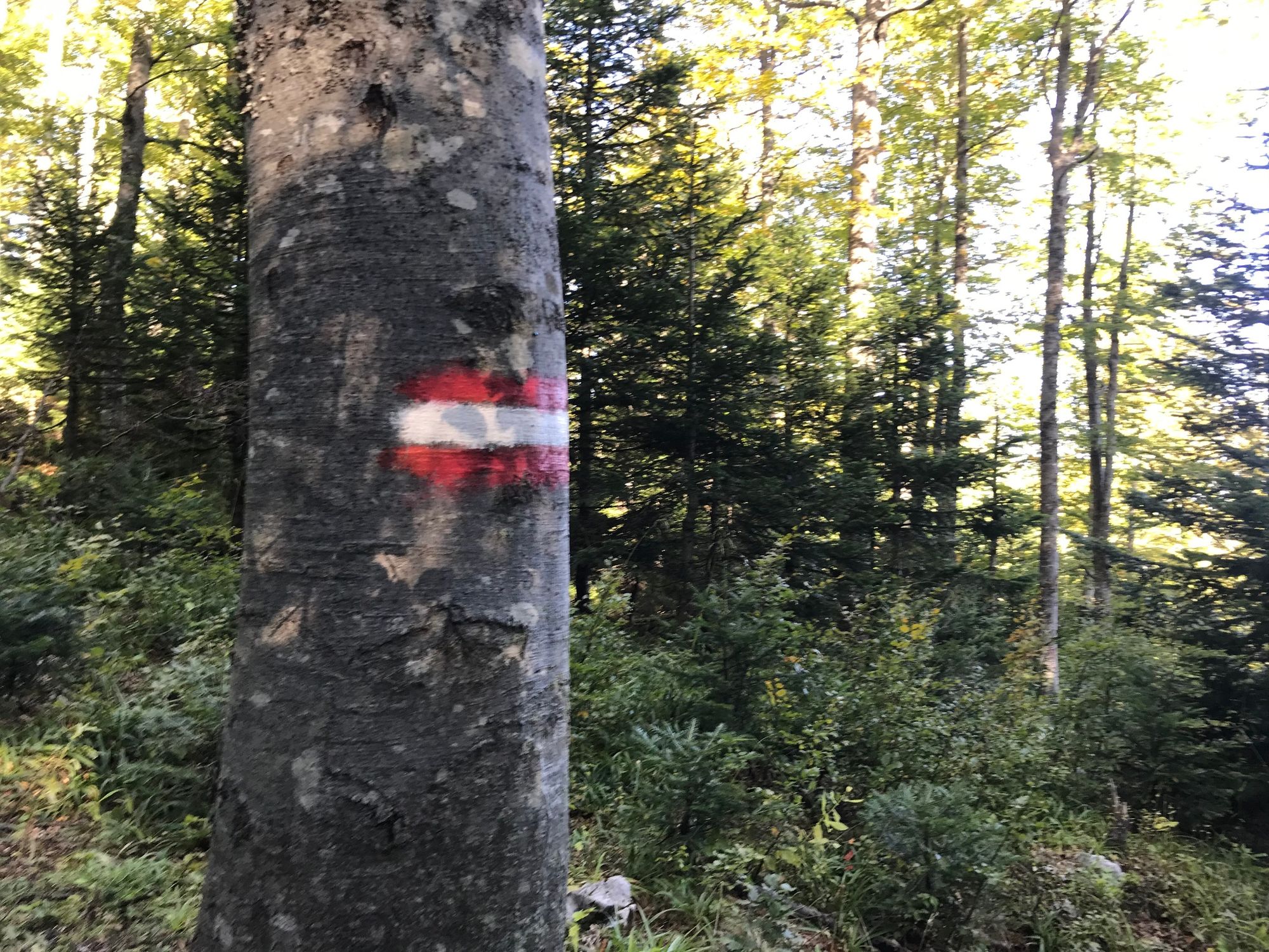
-
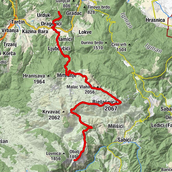
Obalj (1,896 m)1.7 kmSaruk (1,726 m)4.6 kmDugo polje9.0 kmGrkarica9.3 kmVjetreno brdo (1,968 m)11.6 kmŽuljsko brdo (1,986 m)12.9 kmMali strug (1,923 m)14.8 kmŽuti cvijet (2,026 m)15.9 kmBjelašnica (2,067 m)17.3 kmKota (2,056 m)17.7 kmKota 2025 (2,025 m)19.4 kmMrtvanje27.0 kmLjubovčići32.5 kmJeleč33.4 kmFerhatlije34.0 kmDub34.3 kmPazarić35.5 kmKaraosmanovići35.6 kmDragovići36.1 kmDoljani36.7 kmPD ORMANJ37.7 kmJavor37.9 km
- Best season
-
JanFebMarAprMayJunJulAugSepOctNovDec
- Description
-
This new trail which goes from Lukomir to the top of Mount Ormanj (Pazarić) is around 50 km long and is a part of the future connection between Green and White trail of Via Dinarica.
The trail is unique in terms of hiking, for the most part it goes over the top ridges of Bjelašnica, with an average height of 2000 meters, with beautiful views and great internal diversity.
- Highest point
- 2,058 m
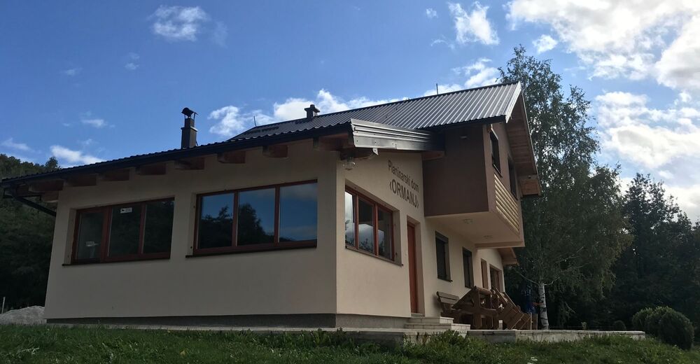
- Endpoint
-
Mount Ormanj
- Height profile
-
 © outdooractive.com
 - Equipment
-
Standard hiking equipment in accordance with the weather conditions
- Tips
-
A visit to necropolis of stećci tombstones near the village of Lukomir is recommended.


- Author
-
The tour Hiking trail from Lukomir to the top of Mount Ormanj is used by outdooractive.com provided.
GPS Downloads


General info
Refreshment stop
Healthy climate
Cultural/Historical
Insider tip
Flora
Fauna
A lot of view