


- Brief description
-
A walk to Zelena glava, the highest peak of Mt Prenj, demanding in terms of fitness. You can take a break by the hut at Jezerac where you can replenish your water supply.
- Starting point
-
Crno polje
- Route
-
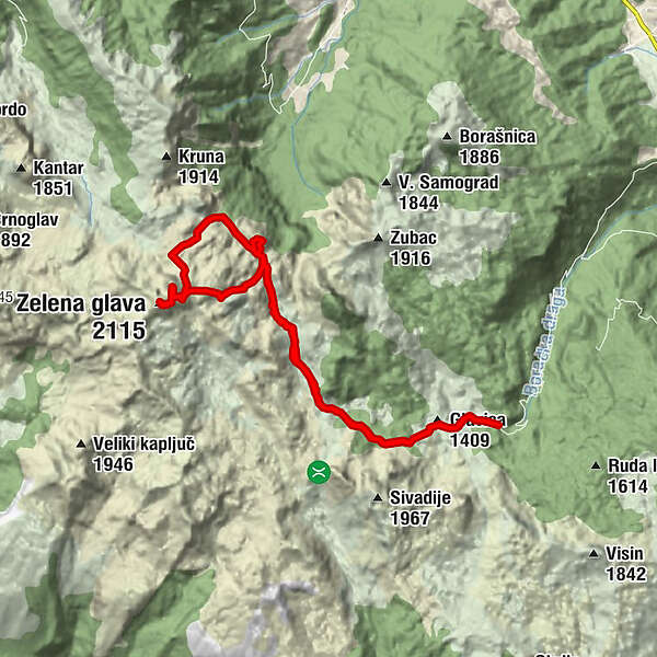
Glavica (1,409 m)1.0 kmMountain hut "Jezerce"6.3 kmTaraš (1,742 m)6.7 kmOtiš (2,097 m)9.8 kmZelena glava (2,115 m)10.1 kmMountain hut "Jezerce"14.1 kmGlavica (1,409 m)19.6 km
- Description
-
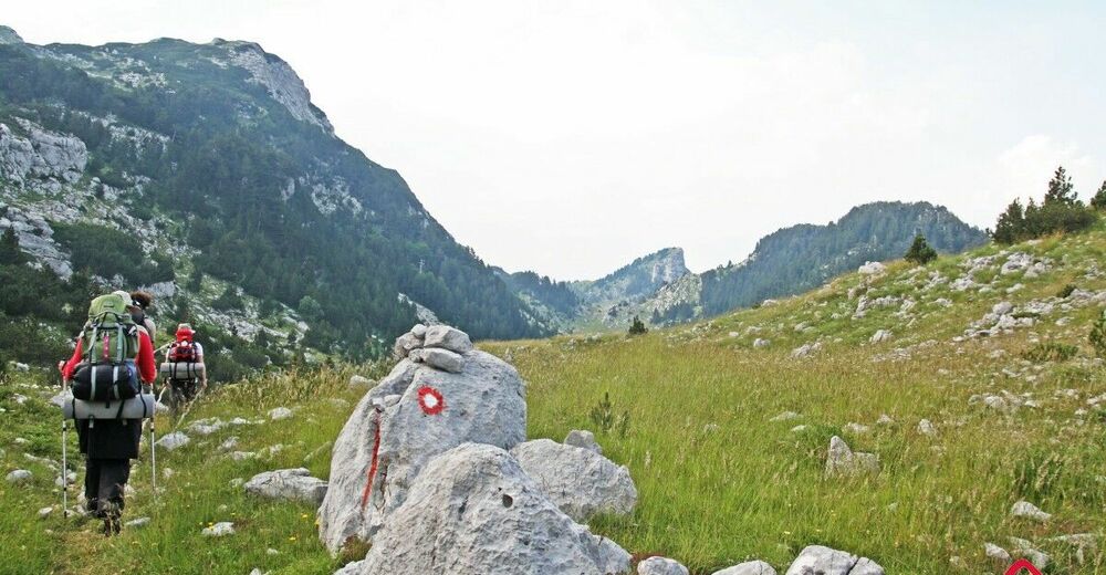
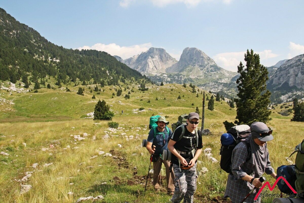
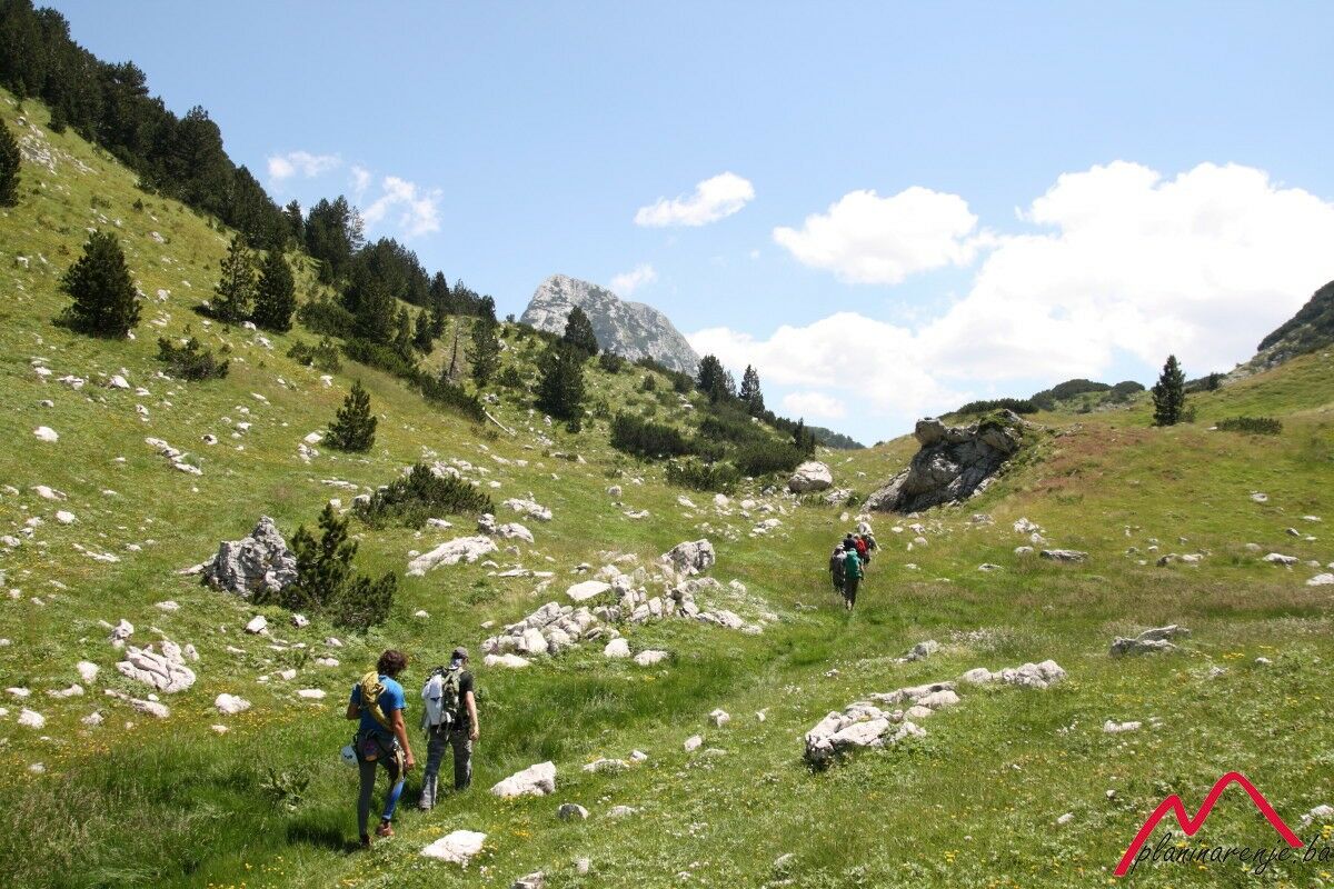
First you get to Konjic, and then to Crno polje by car or hired van, and you set out for the mountain hut Jezerce. The first part of the road from Crno polje goes through the forest. About an hour from your starting point there is a spring called Picino vrelo hidden in the rock on your left. To get to the water you have to climb a few metres up the rock, and then squeeze yourself into the gap where you can reach the water. Not long after you leave the forest and the rest of the road leads across a meadow. Some hundred metres from the road is the spring of Zupčevo vrelo.
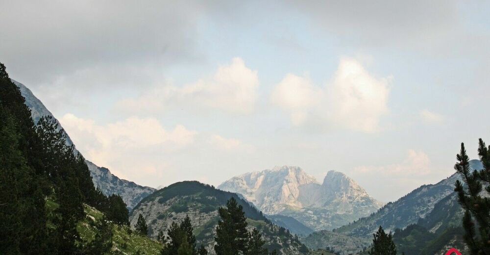
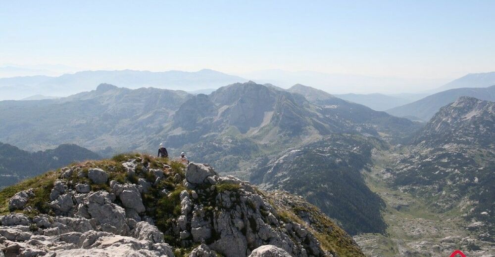
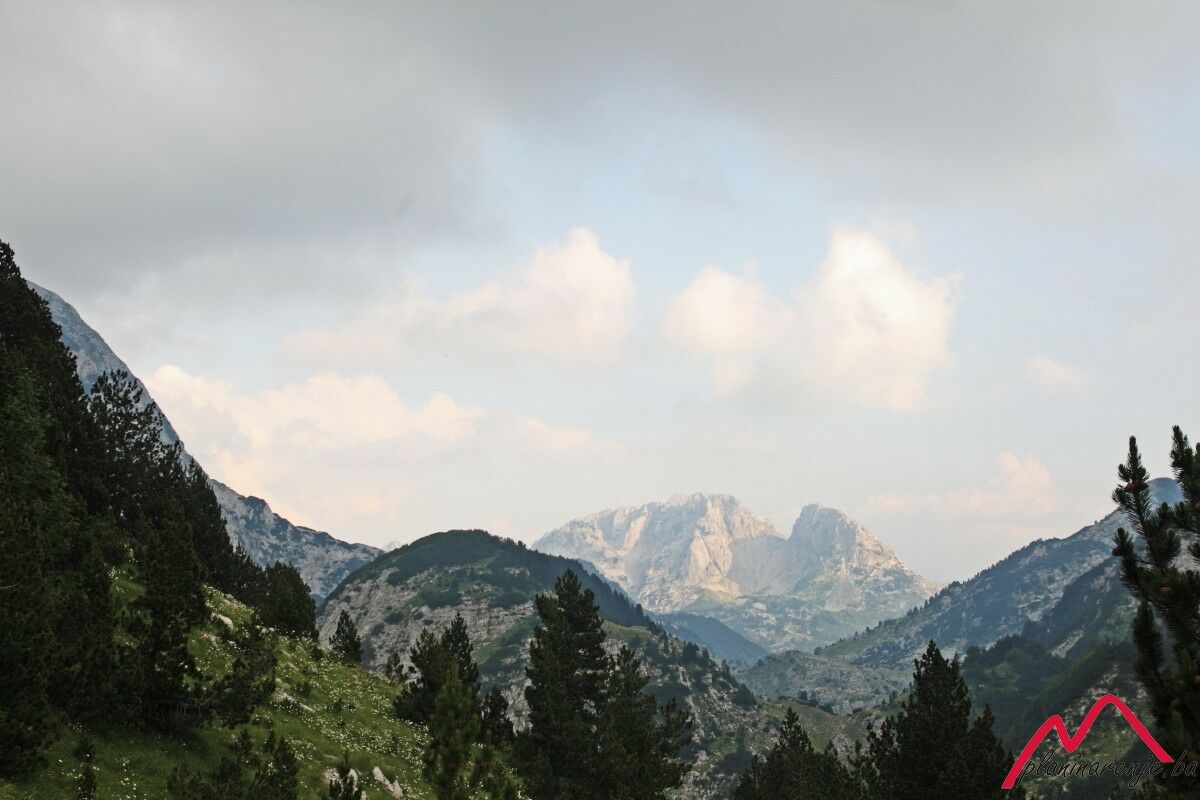
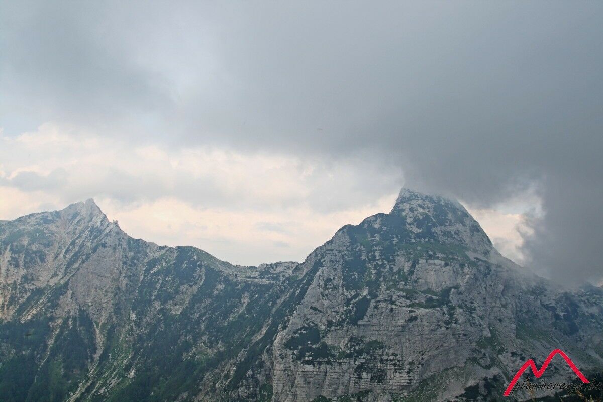
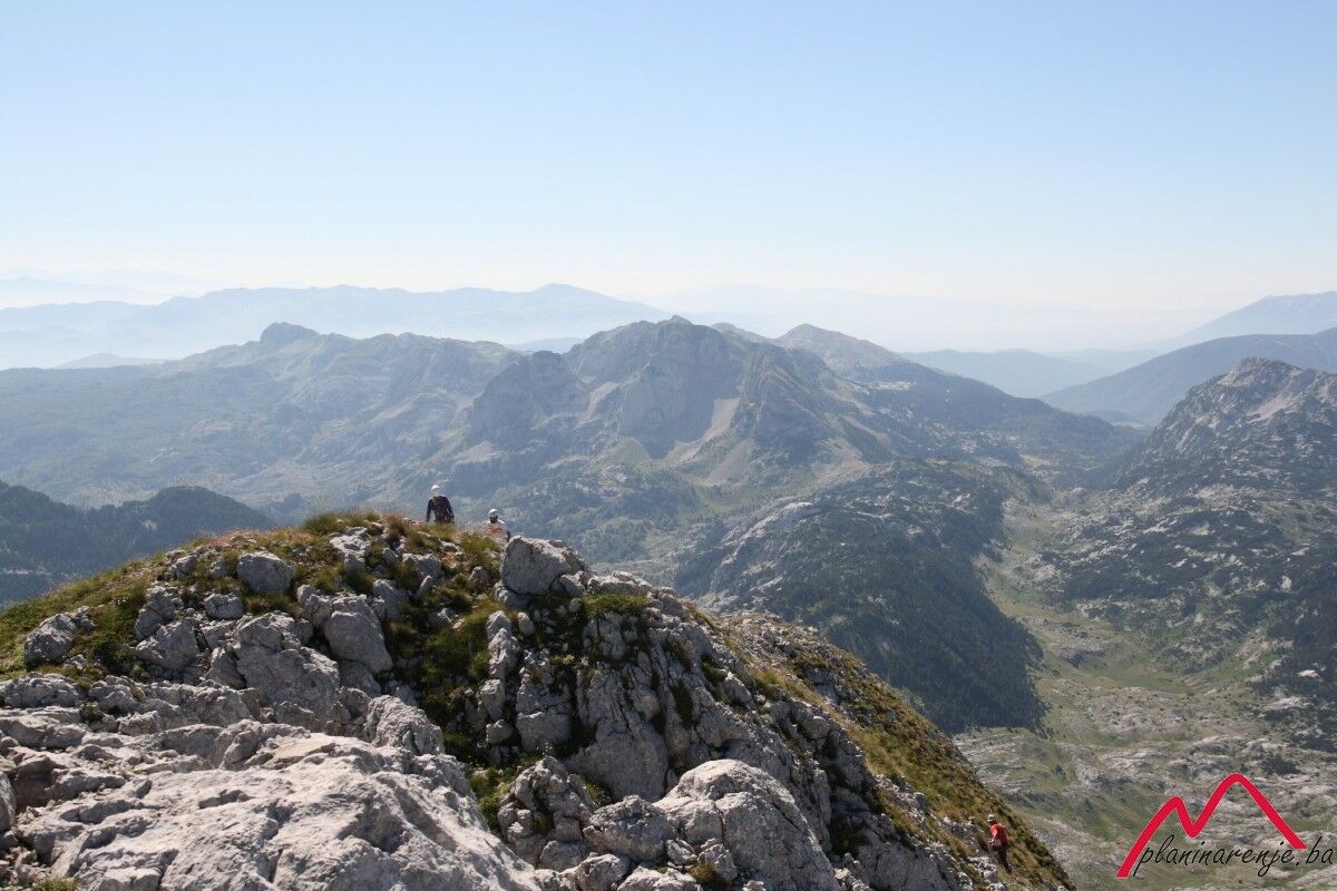
You can climb the nearby peak Taraš which will treat you to an incredible view. You can see the peaks Zubac and Osobac, Sivadije in the distance, and the mountain hut Jezerce below. The way to the summit of Otiš is via the eastern ridge or via the saddle from the south. After Otiš, the road leads to the peak Zelena glava. On your way back to the hut, you can take the road leading to Tisovica and further to Crno polje.
- Directions
-
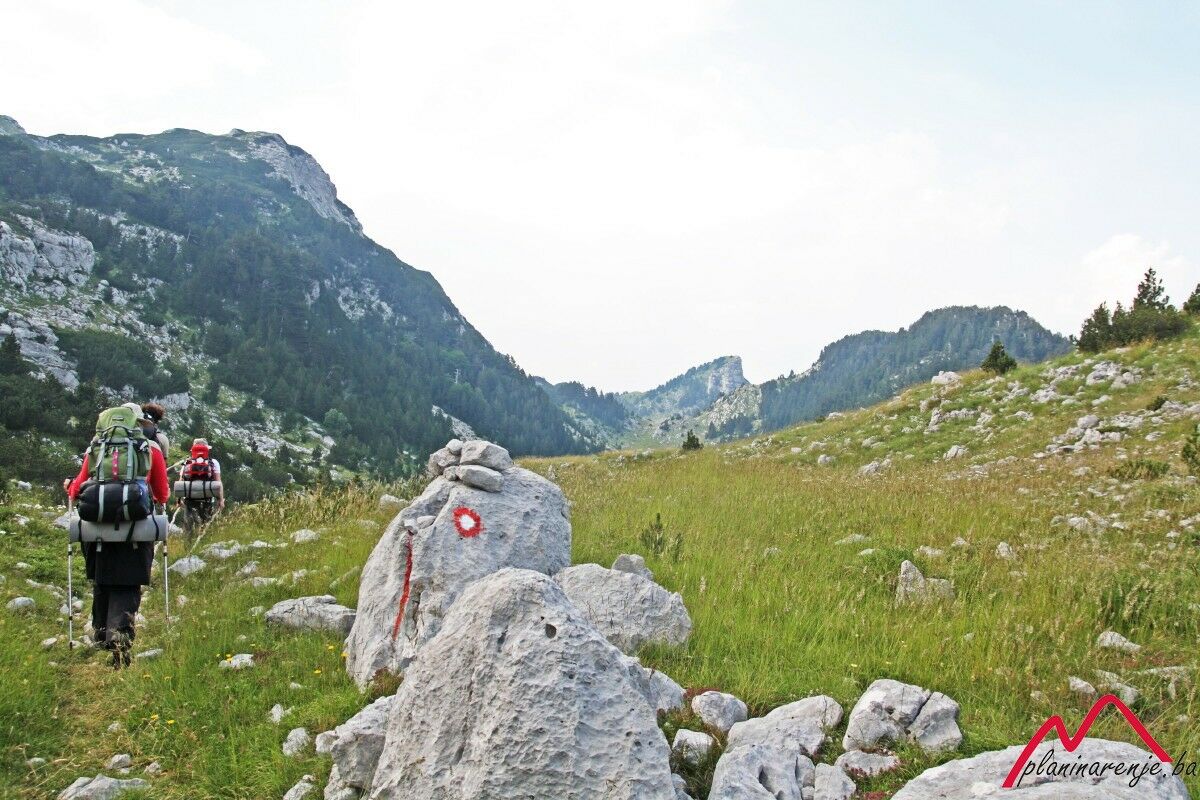
Head west through Crno polje. The road passes below Sivadije, to your left, by the spring Kamenac hidden in the rocks by the road. The trail then merges with the road leading from Bijele vode to Jezerac, then turns north-west through Lasin do and goes all the way to the mountain house Jezerce. As you walk across Lasin do, Osobac should be to your right.
From Jezerce head southwest, pass below Kopilice then west to the saddle between the peaks Otiša and Zelena glava. The climb to Zelena glava is secured with a cable. Return the same way you came.
- Highest point
- 2,065 m
- Endpoint
-
Zelena glava peak
- Height profile
-
 © outdooractive.com
 - Equipment
-
Standard mountaineering equipment, in accordance with the weather.
- Safety instructions
-
The trail requires a high level of fitness, care should be taken during the final climb to Zelena glava. It is technically undemanding and there is no risk of landmines.
- Additional information
- Directions
-
Take Exit West on M17 out of Sarajevo and drive to Konjic. Turn left at the first traffic light, then cross the bridge and head to lake Boračko. Before the lake turn right to the village of Borci, then take the macadam road to Crno polje. The road is in a bad condition at times, and not passable by car.
- Public transportation
-
Bus or train to Konjic, then find transport to the village of Borci or to Crno polje.
- Parking
-
Park at a lay-by.
-

-
AuthorThe tour Crno polje - Jezerce - Zelena glava is used by outdooractive.com provided.