© EVAdinarica Project - EVA dinarica
© EVAdinarica Project - EVA dinarica
© EVAdinarica Project - EVA dinarica
© Backroad Balkans - EVA dinarica
© EVAdinarica Project - EVA dinarica
© EVAdinarica Project - EVA dinarica
© Backroad Balkans - EVA dinarica
© Backroad Balkans - EVA dinarica
© Backroad Balkans - EVA dinarica
© EVAdinarica Project - EVA dinarica

- Brief description
-
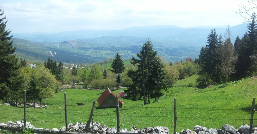
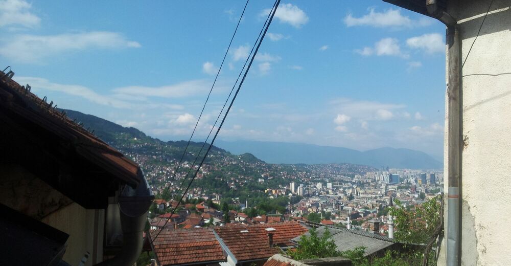
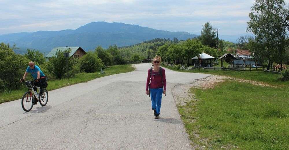
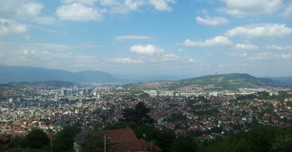
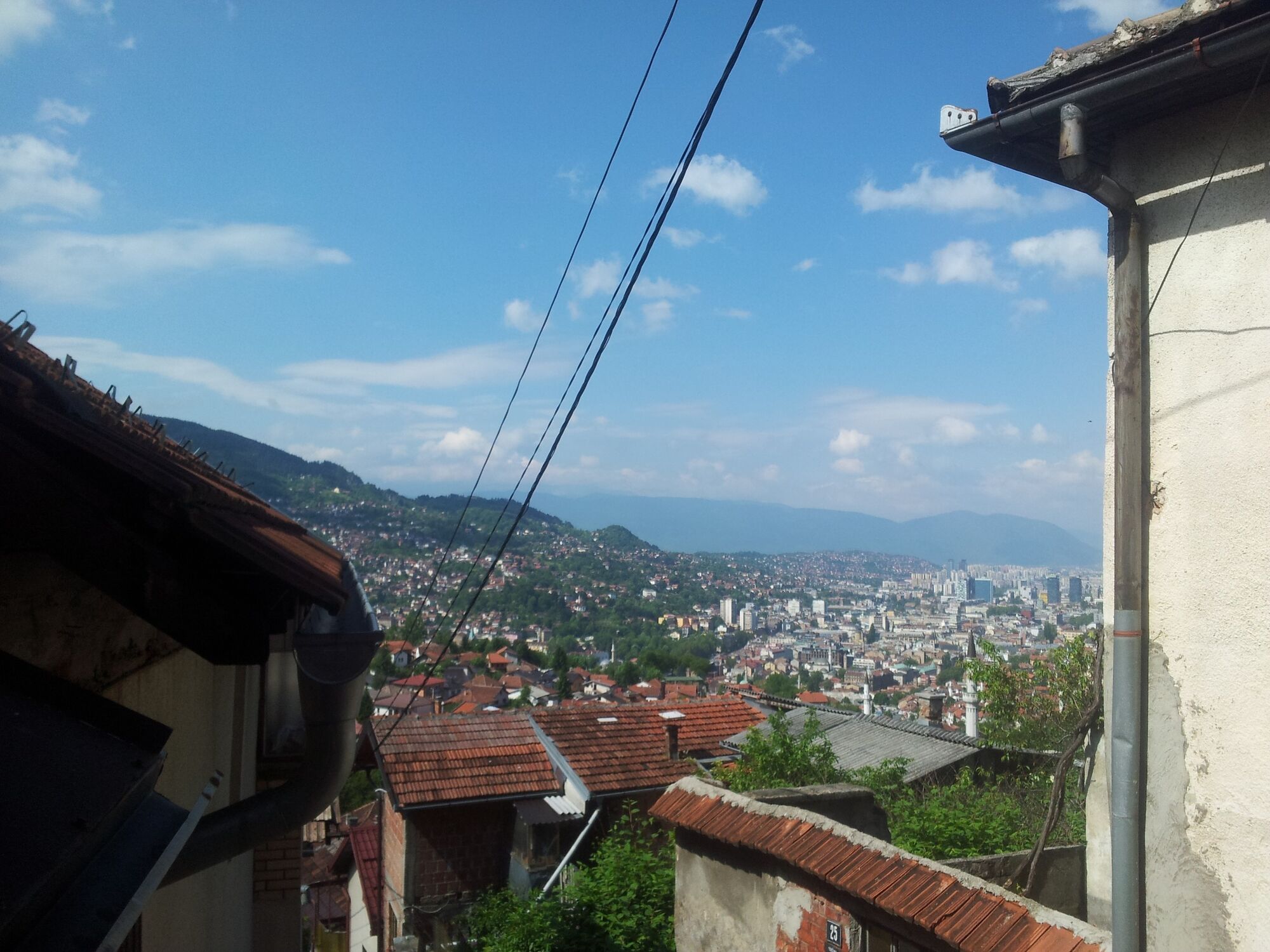
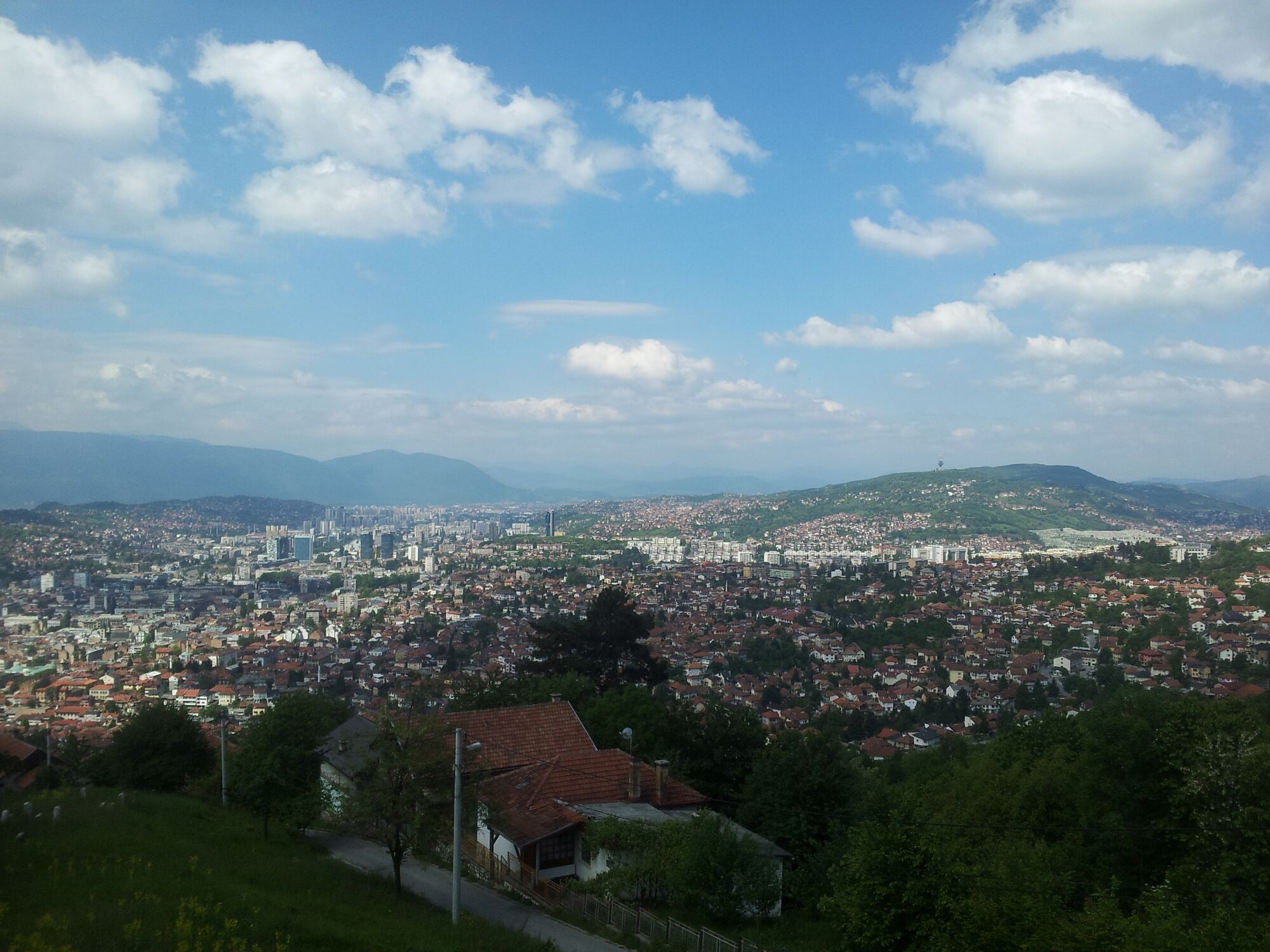
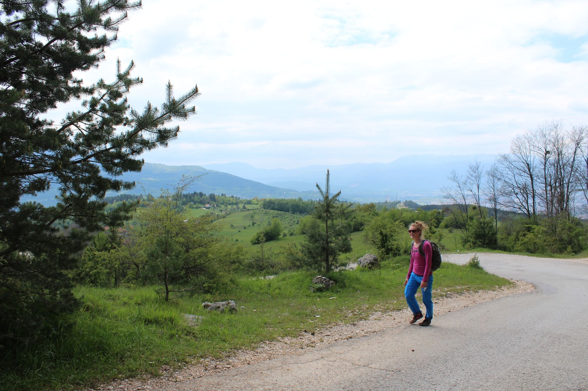
Well marked trail that takes you up into the beautiful mountains right above Sarajevo.
- Difficulty
-
medium
- Rating
-
- Starting point
-
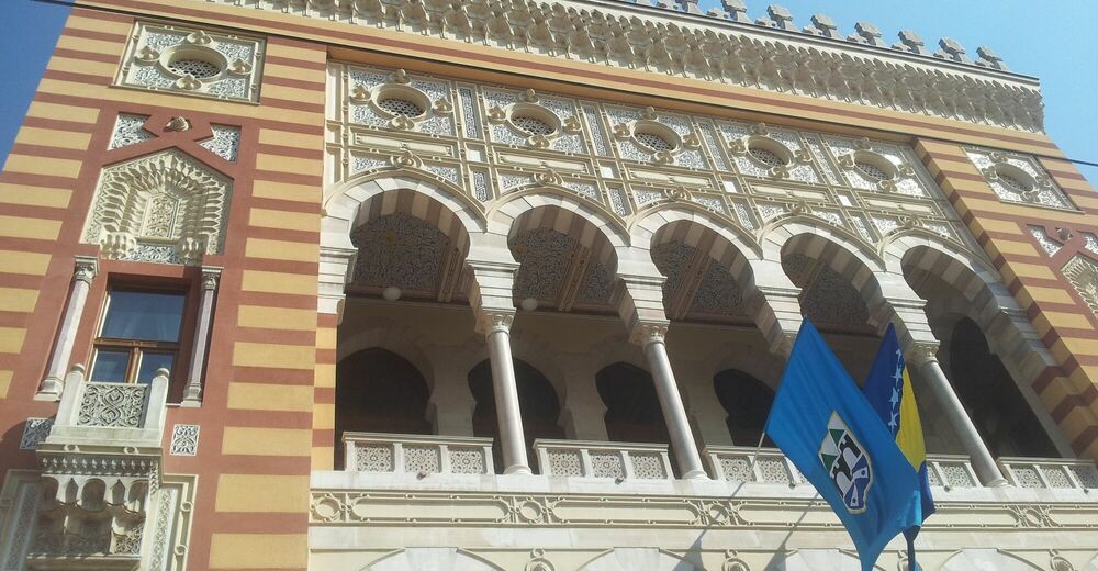
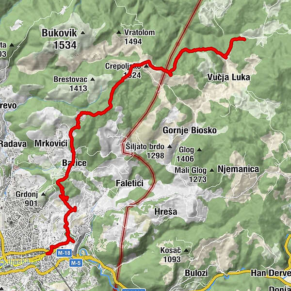
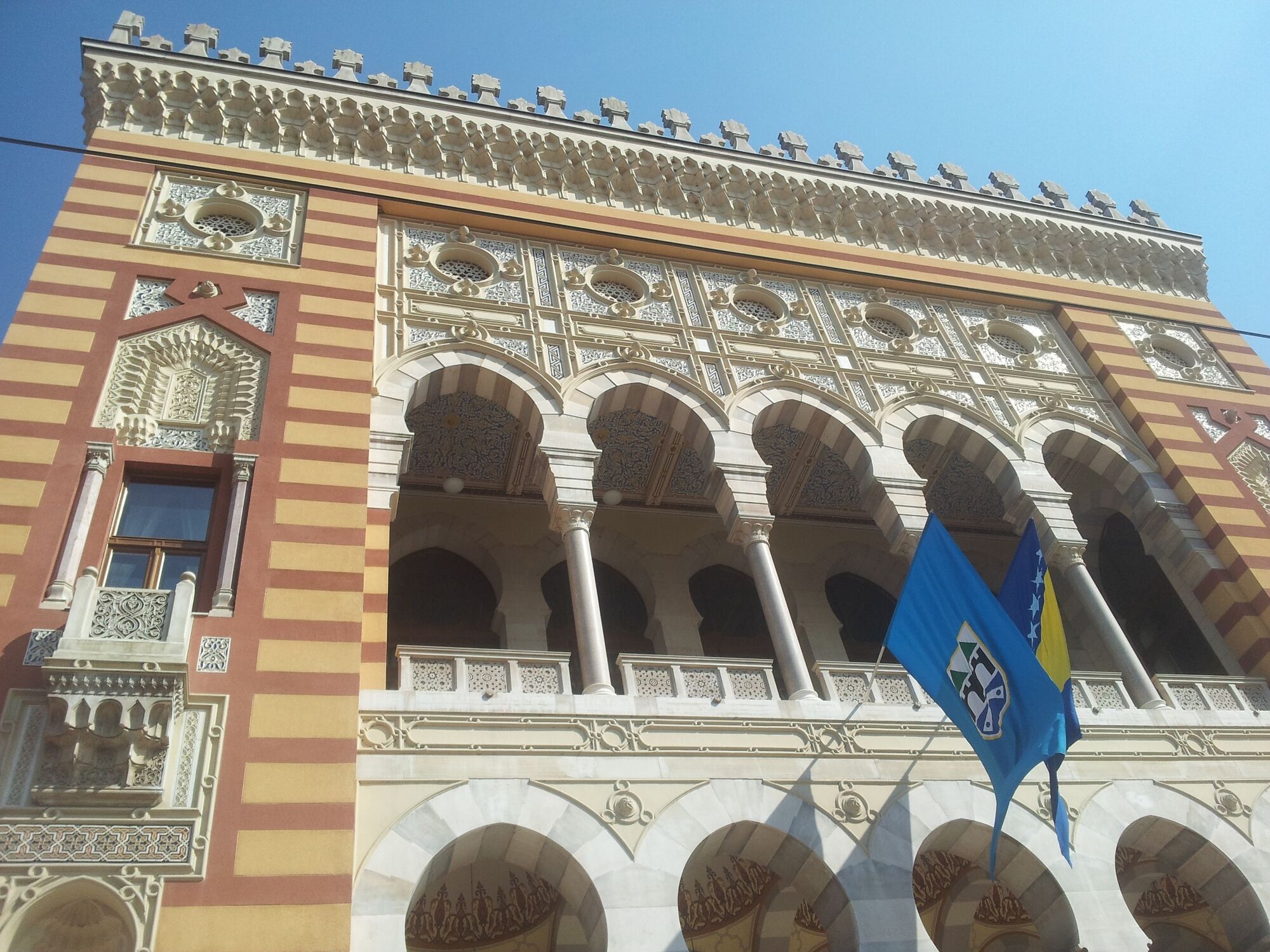
Vijećnica
- Route
-
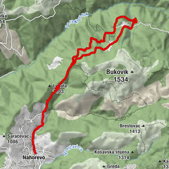
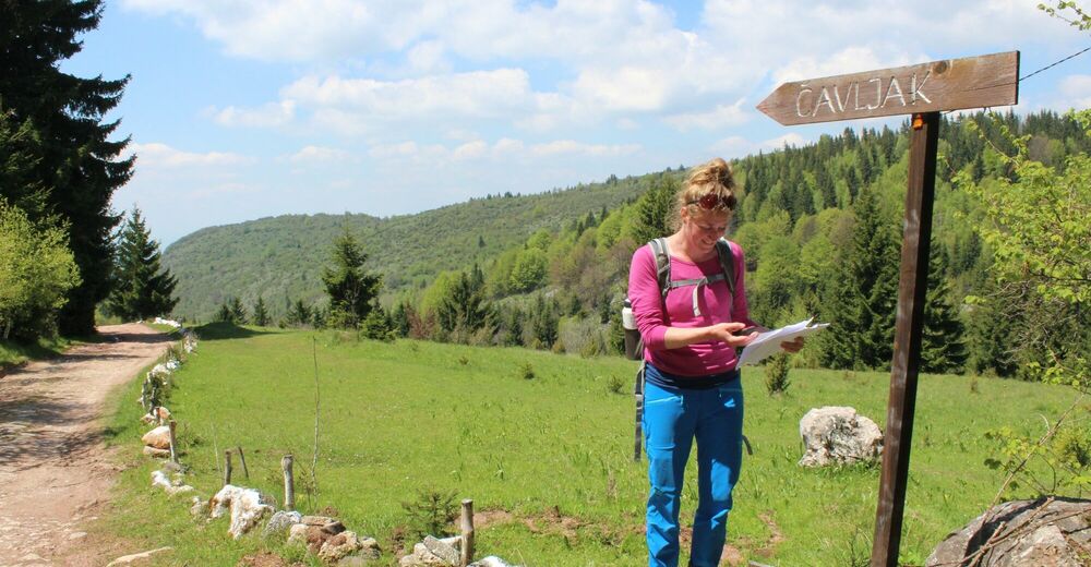
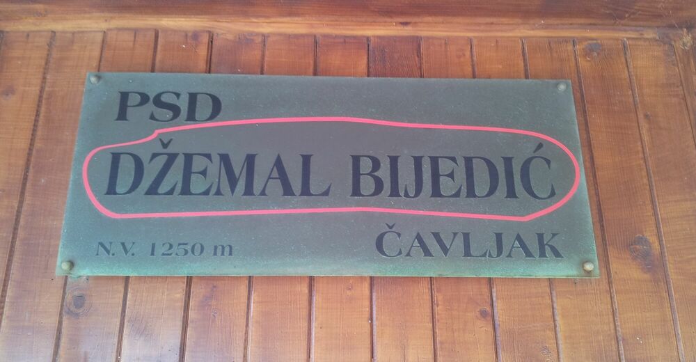
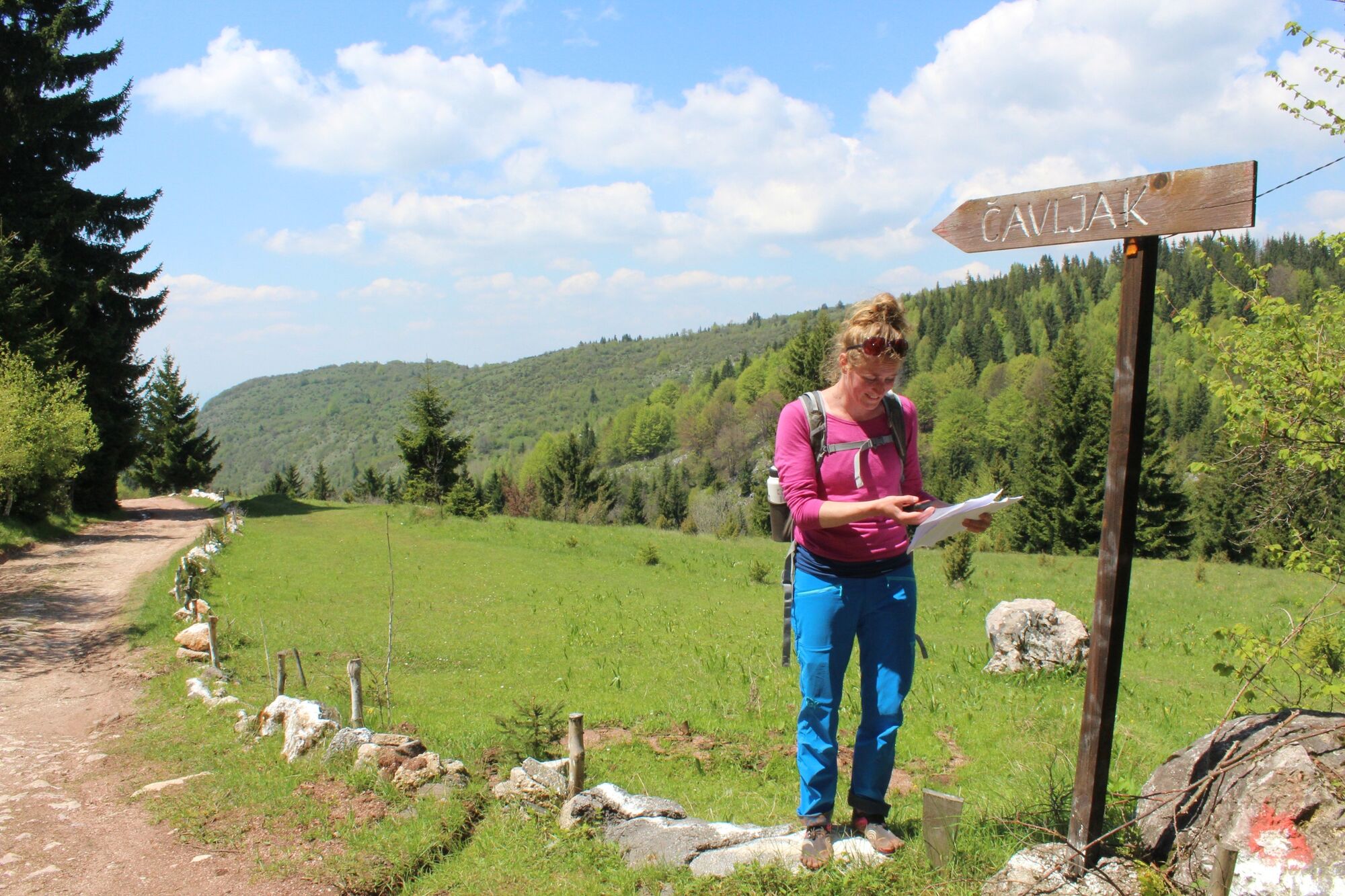
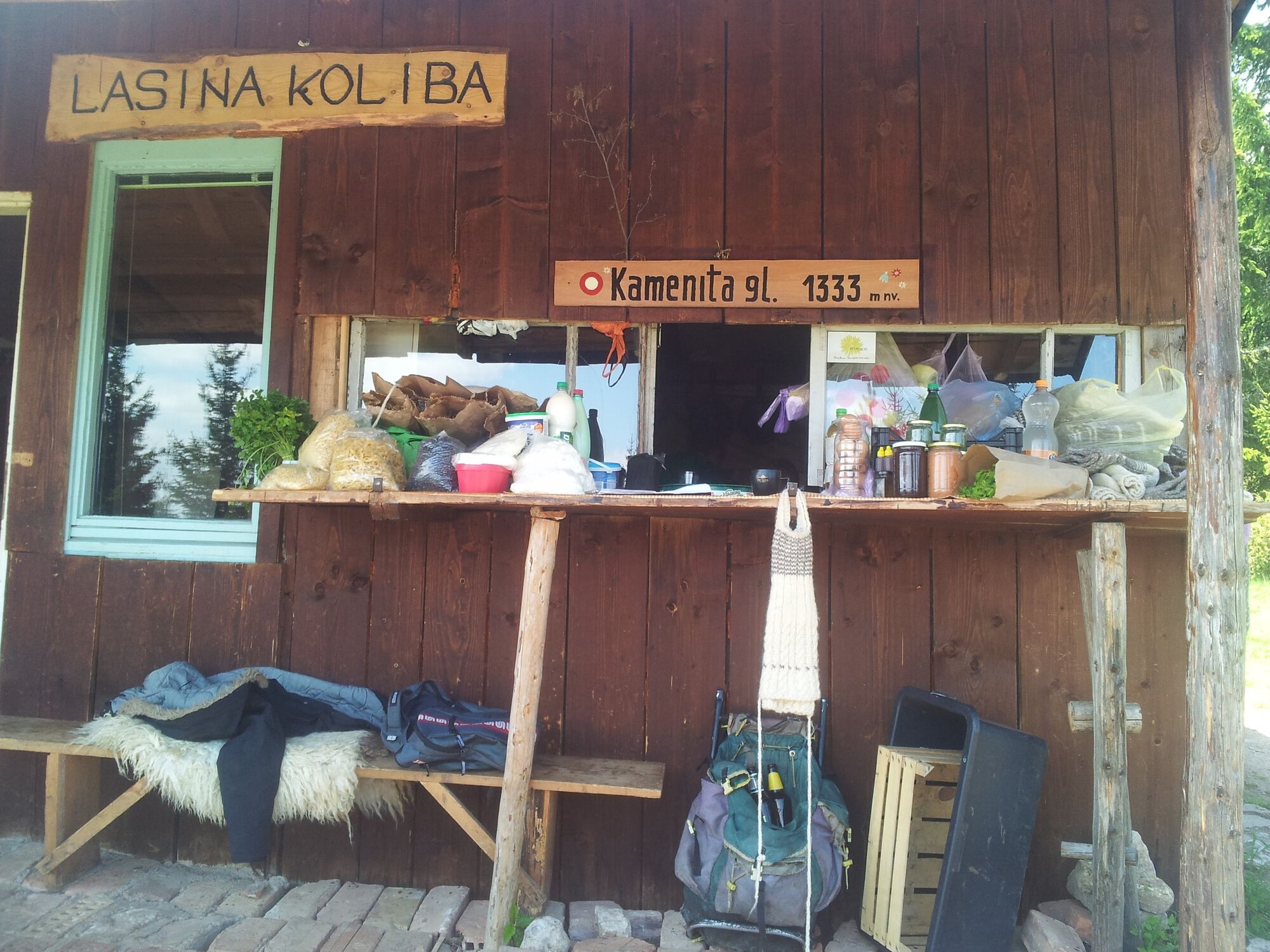
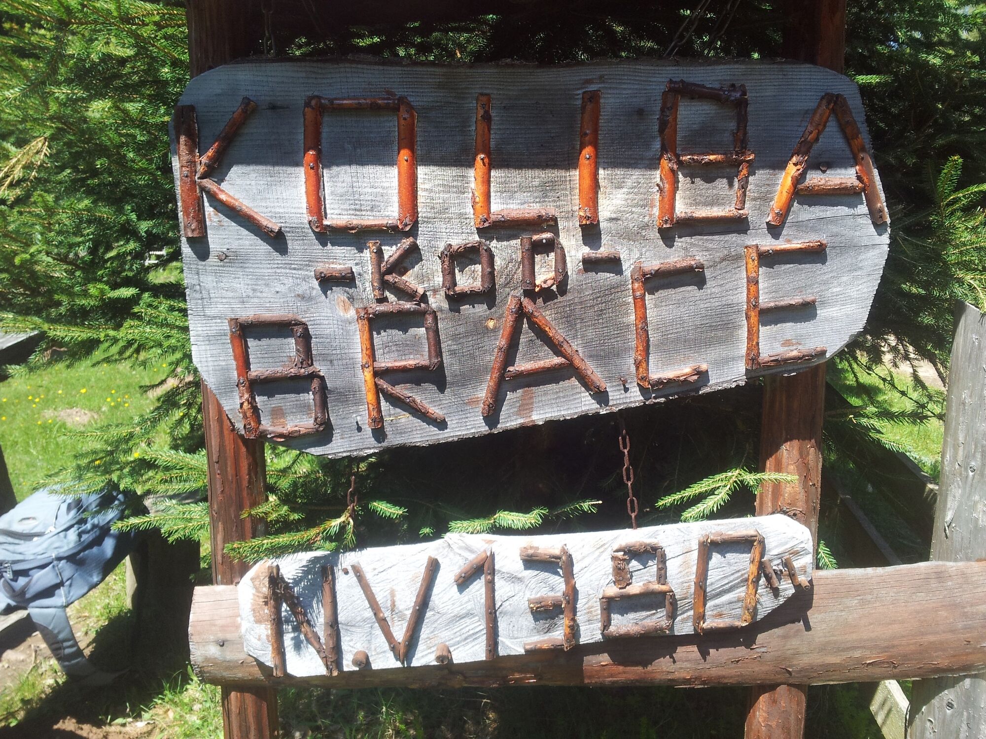
Sarajevo0.0 kmBaščaršija0.0 kmBabića bašča0.1 kmDžamija Kučuk Kjatib Mujhudin0.2 kmKovači0.4 kmSumbuluša0.6 kmDžamija Iplidžik Sinan0.7 kmDžamija Sinan vojvoda Hatun0.9 kmVratnik0.9 kmMokro-zade Sinana Vojvode1.5 kmVidikovac2.1 kmZmajevac2.1 kmBarice6.6 kmPlaninarska kuća Čavljak9.0 kmKamenita Glava (1,333 m)10.6 kmKod Brace11.6 kmGvozdarevo12.6 kmCrepoljsko (1,524 m)13.4 km
- Best season
-
JanFebMarAprMayJunJulAugSepOctNovDec
- Description
-
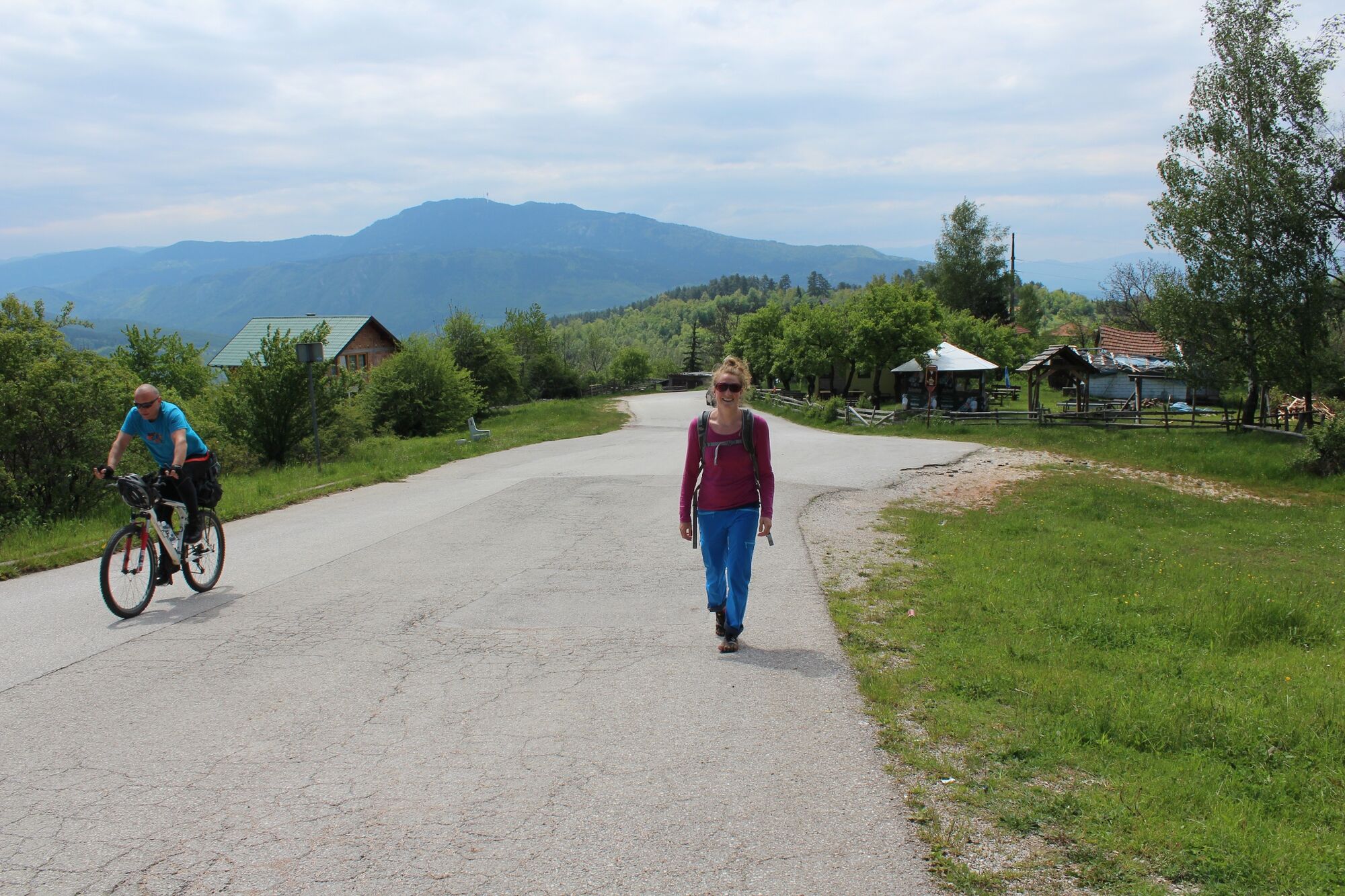
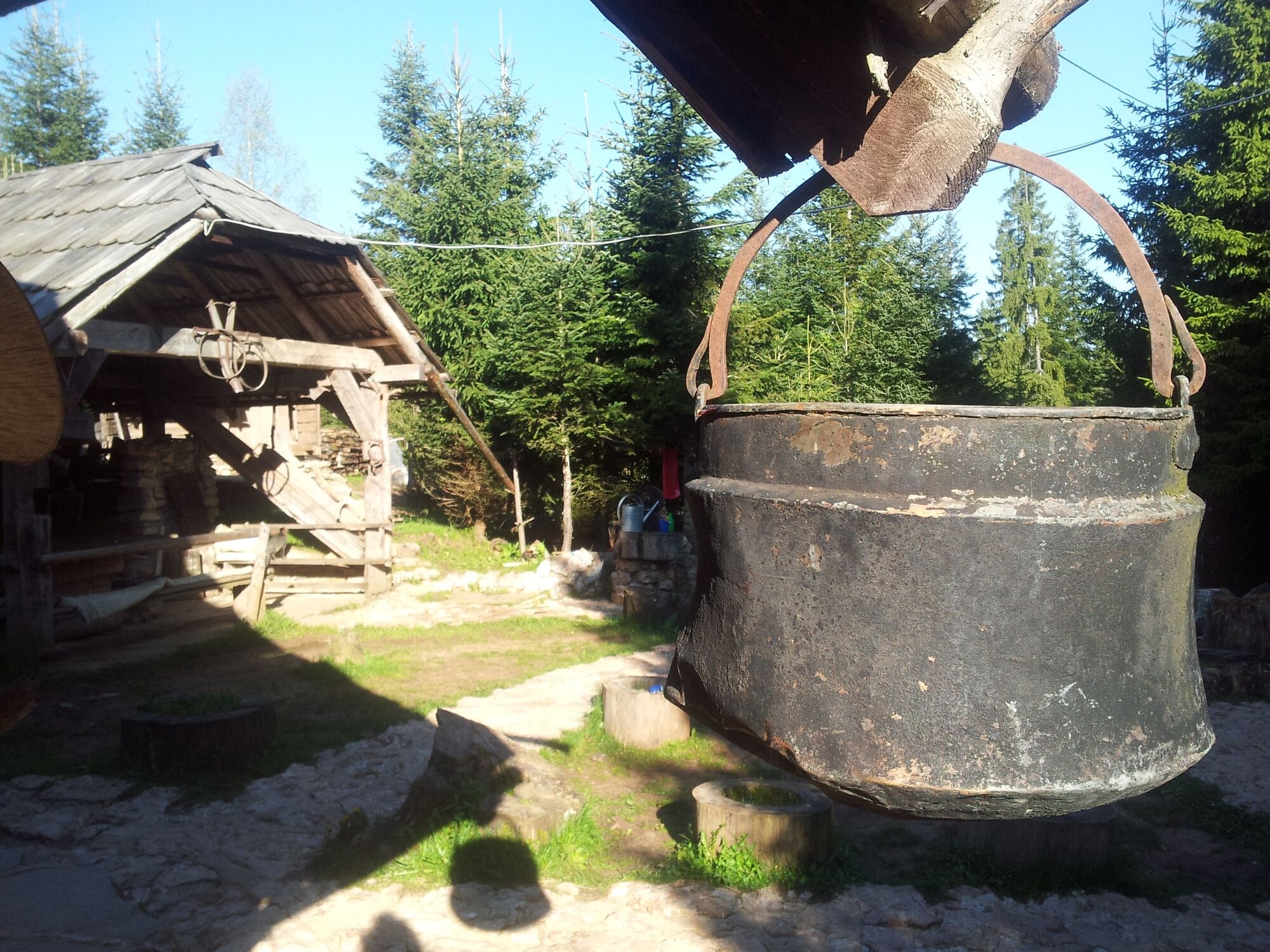
Great views, many refreshment stops and amazingly diverse landscape.
- Directions
-
See Via Dinarica Tour Description
Note that you download the GPS track from the Via Dinarica website, mine includes getting lost ;)
- Highest point
- 1,479 m
- Endpoint
-
Vukov Konak
- Height profile
-
 © outdooractive.com
 - Safety instructions
- Public transportation
-
Best option is to spend the night in Vukov Konak and hike back the next day. The other option is to have a cab called (your own phone won't have any reception). The staff will help you with this.


-

-
AuthorThe tour Hiking from Sarajevo to Vukov Konak is used by outdooractive.com provided.
GPS Downloads


General info
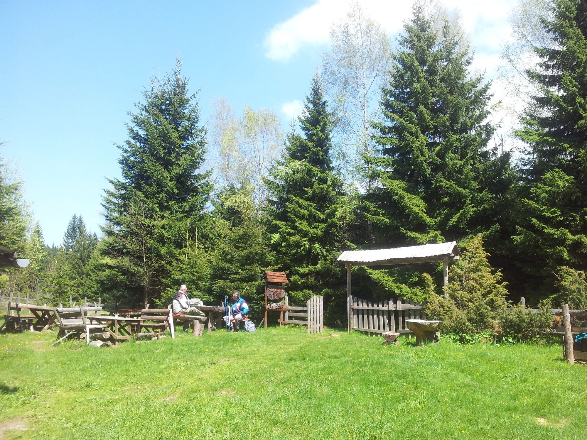
Refreshment stop
A lot of view
Other tours in the regions
-
Bosnien
44