© Intersoc VZW - Lieselot Dequidt

- Brief description
-
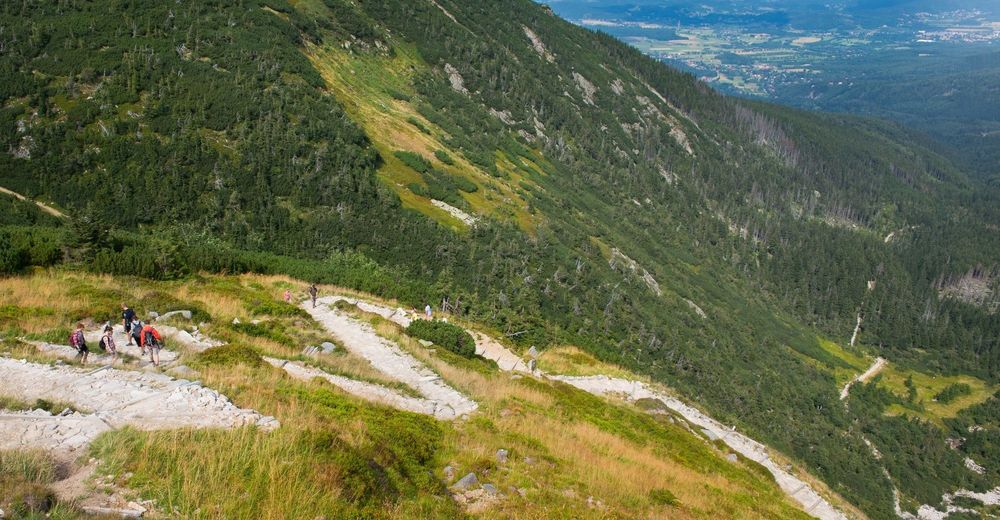
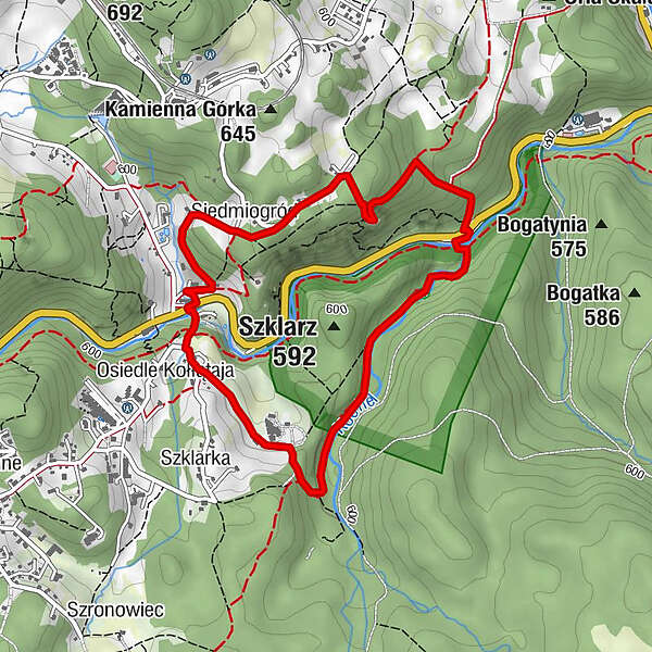
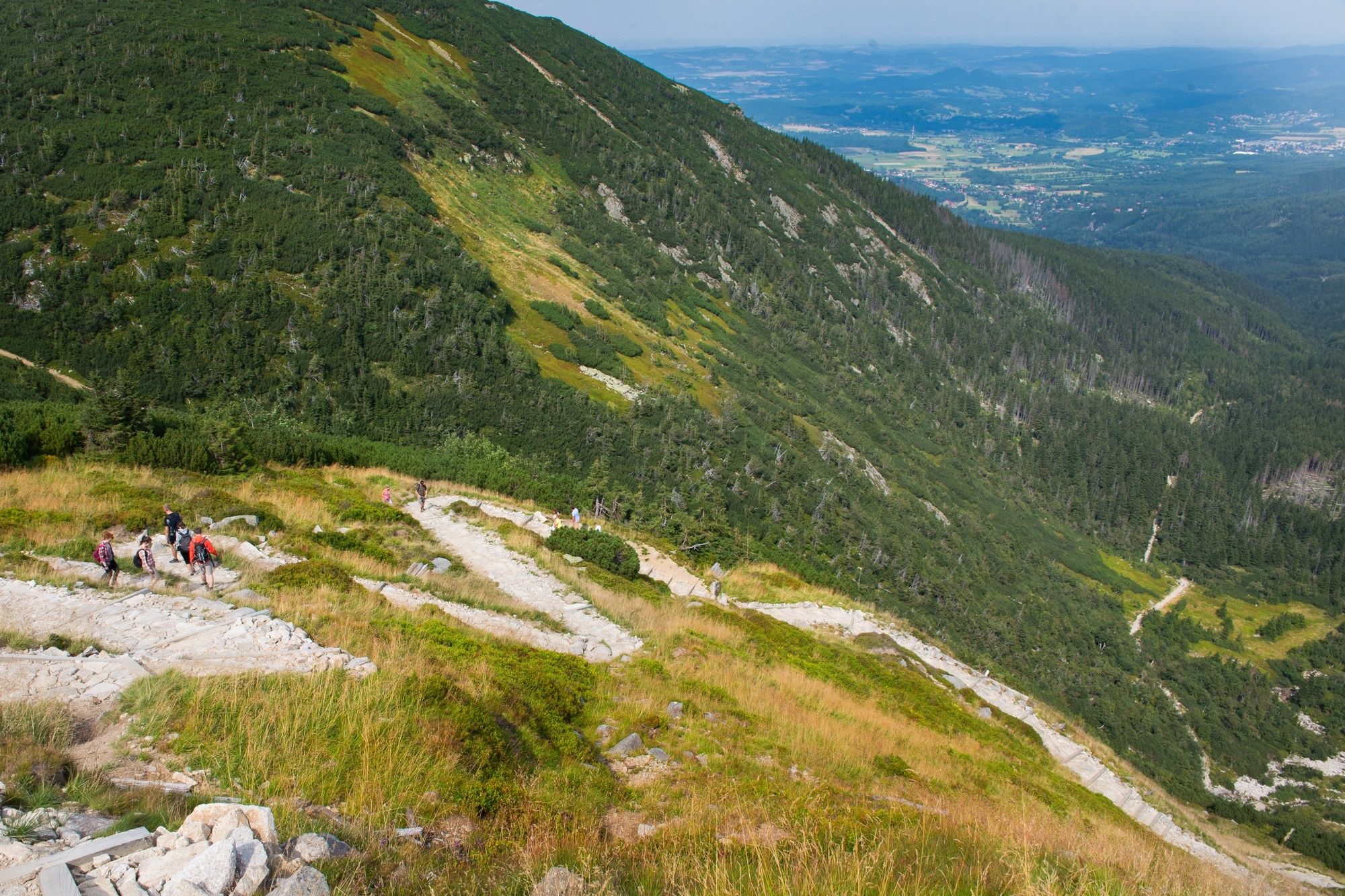
Szklarska Poreba
- Difficulty
-
easy
- Rating
-
- Route
-
Kochanówka (510 m)0.3 kmWodospad Szklarki0.4 kmOsiedle Kołłątaja1.9 kmSiedmiogród2.9 kmGolden view (Złoty widok)3.6 km
- Highest point
- 624 m
- Height profile
-
 © outdooractive.com
- Author
-
The tour HAR-HDW - Szklarska Poreba is used by outdooractive.com provided.
GPS Downloads


Other tours in the regions