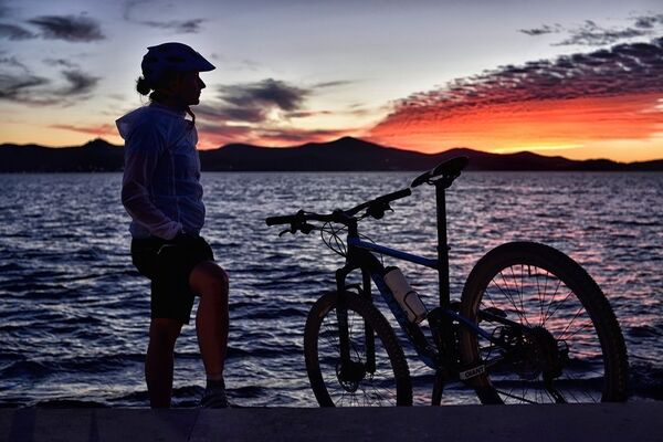
© Zadar Region Tourist Board - Vedran Metelko

- Difficulty
-
easy
- Rating
-
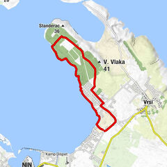
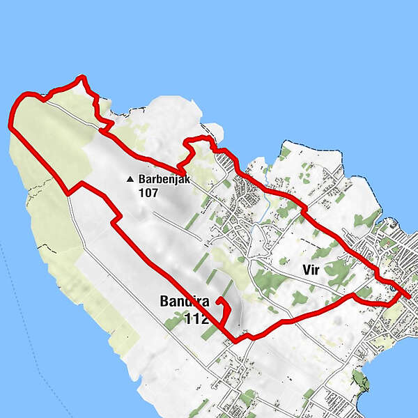
- Starting point
-
Vir
- Route
-
PuntaduraLozice2.8 kmBandira (112 m)13.2 kmPuntadura16.4 km
- Best season
-
JanFebMarAprMayJunJulAugSepOctNovDec
- Description
-
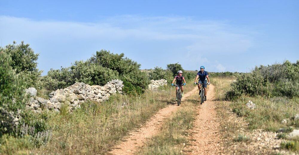
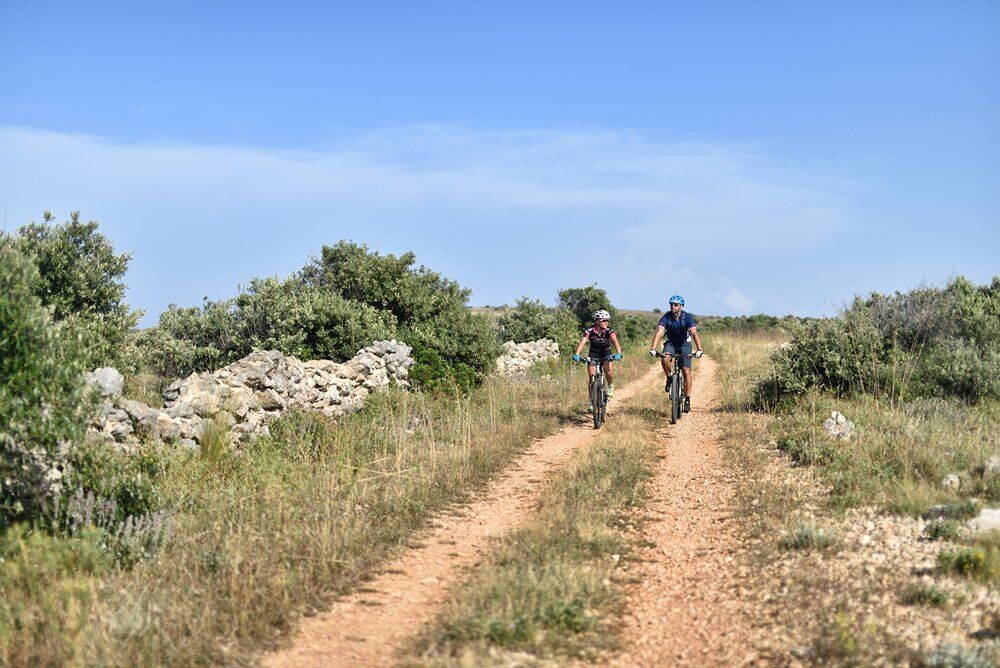
If you have ever wanted to round a whole island on a bike, then this route is just as made for you. It will especially please recreational MTB riders or families with children on MTB or trekking bikes. The trail with a few shorter, slighter ascents rounds up the whole island of Vir and gives a nice view of all of its natural beauties. Passing by sandy beaches, macadam roads with panoramic view and a cross-cut view of the difference of the north and south part of the island, all make this ride very attractive. If we add up a fact that you can see the south part of the island of Pag and the Zadar Archipelago from the highest point of the Vir island, your satisfaction is guaranteed.
- Highest point
- 100 m
- Endpoint
-
Vir
- Height profile
-
 © outdooractive.com
- Author
-
The tour Vir is used by outdooractive.com provided.
GPS Downloads


General info
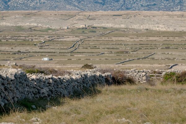
Fauna
A lot of view