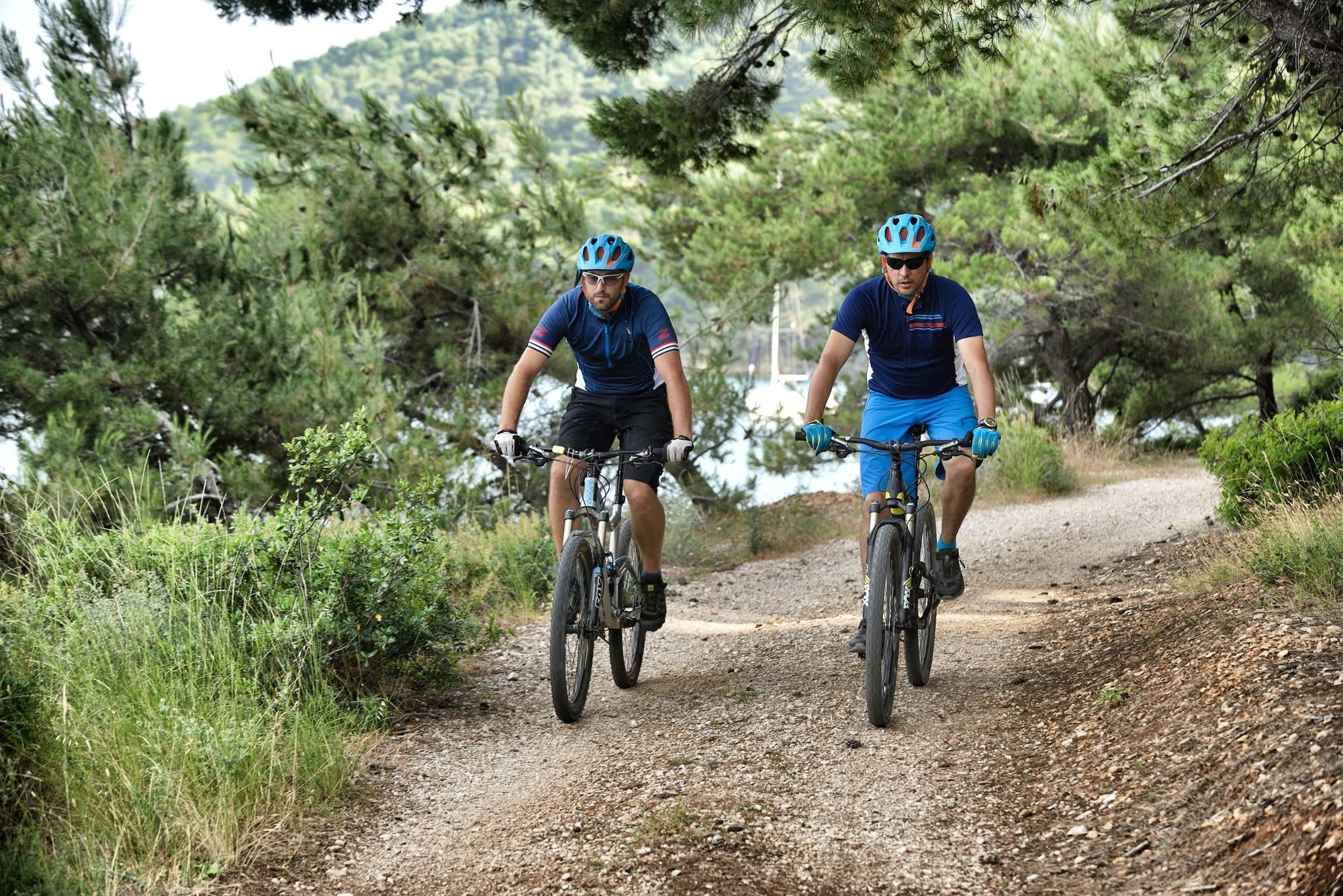
© Zadar Region Tourist Board - Vedran Metelko

- Difficulty
-
medium
- Rating
-
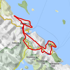
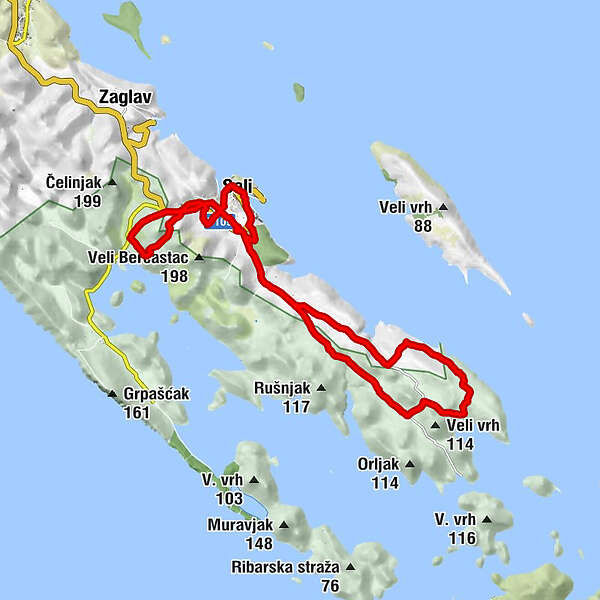
- Starting point
-
Sali
- Route
-
Bocac0.1 kmSali0.1 kmcrkva Uznešenja Marijina0.8 kmcrkva Uznešenja Marijina5.6 kmSali5.6 kmSali19.9 kmSv. Nikola19.9 km
- Best season
-
JanFebMarAprMayJunJulAugSepOctNovDec
- Description
-
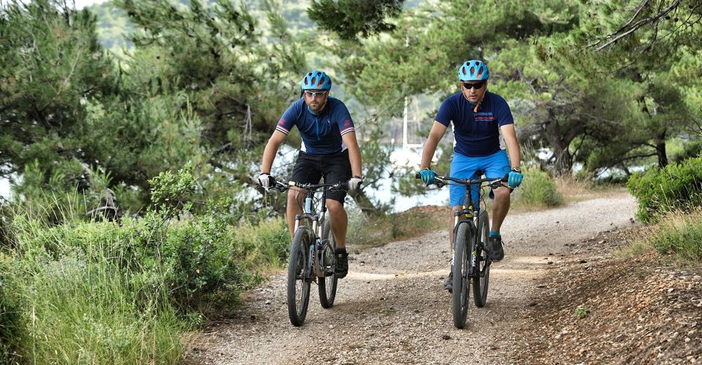
Route provides a shorter trip into unknown with a little adventure a side. Physically not demanding with partially technical terrain, it’s appropriate for riders getting into shape as well as the ones with a good riding technic. Characterized by interesting trails with a view over a nature park Telašćica and a national park Kornati, the route offers many places for taking memorable cycling photos. One of the trails leads straight to the nature park Telašćica while the other heads on for a marvelous panorama of Kornati islands. Taking this route, you commit yourself to walk over some of the parts. Route is exposed to sun so ensure yourself with enough water.
- Highest point
- 114 m
- Endpoint
-
Sali
- Height profile
-
 © outdooractive.com
- Author
-
The tour Sali 2 is used by outdooractive.com provided.
GPS Downloads


General info
Fauna
A lot of view
Other tours in the regions
-
Insel Ugljan
35
-
Sali
5