© Zadar Region Tourist Board - Vedran Metelko

- Difficulty
-
medium
- Rating
-
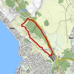
- Starting point
-
Preko
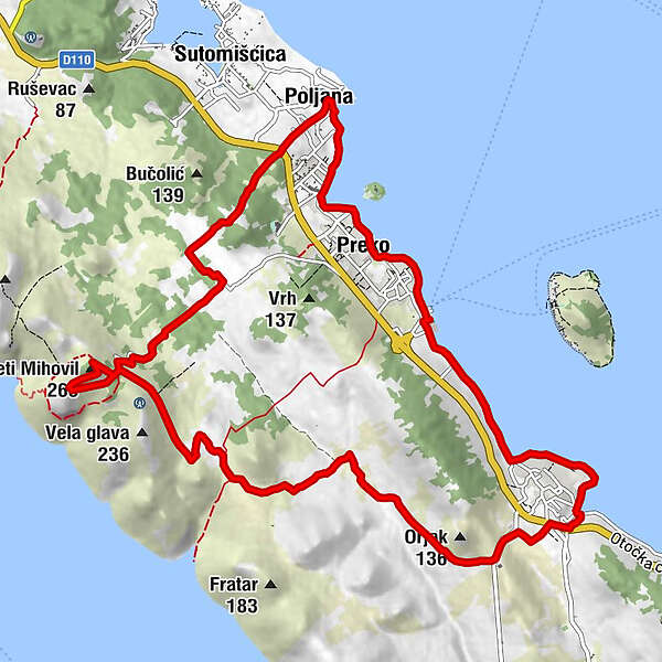
- Route
-
Konoba Intrada1.7 kmKali1.7 kmSveti Mihovil (265 m)9.1 kmGarofulin13.4 kmPoljana13.4 kmOltre15.0 kmSv. Ivana15.9 km
- Best season
-
JanFebMarAprMayJunJulAugSepOctNovDec
- Description
-
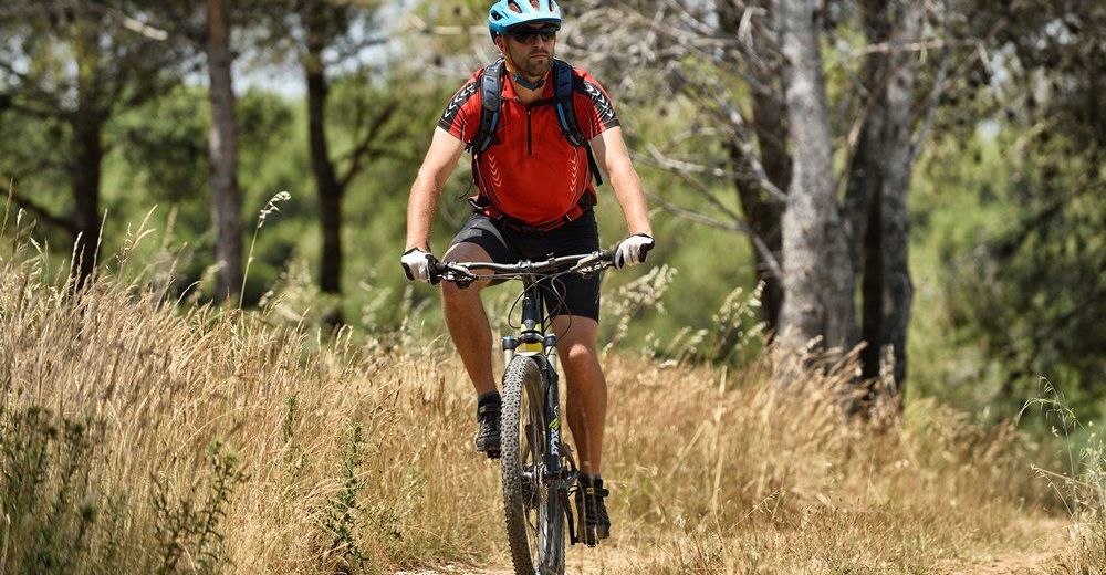
An ascent to the highest peak of some region is always a big challenge for any cyclist. A will to accept that challenge grows even stronger when the highest peak offers the view of the city of Zadar with its hinterland, more than 200 islands of the Zadar archipelago and the National Park Kornati. The trail is intended for MTB riders in basic physical condition who are looking for moderately demanding terrain. It starts along the coast and ascends to the fortress dating back to 13th century. The reward comes in a form of a very attractive descent through the olives and directly to the seaside.
- Highest point
- 238 m
- Endpoint
-
Preko
- Height profile
-
 © outdooractive.com

- Author
-
The tour Ugljan 2 is used by outdooractive.com provided.
GPS Downloads


General info
Fauna
A lot of view
Other tours in the regions
-
Insel Ugljan
35
-
Kali
17