© Zadar Region Tourist Board - Vedran Metelko

- Difficulty
-
medium
- Rating
-
- Starting point
-
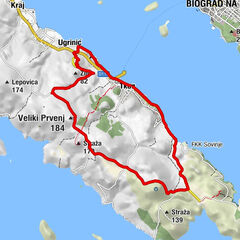
Tkon
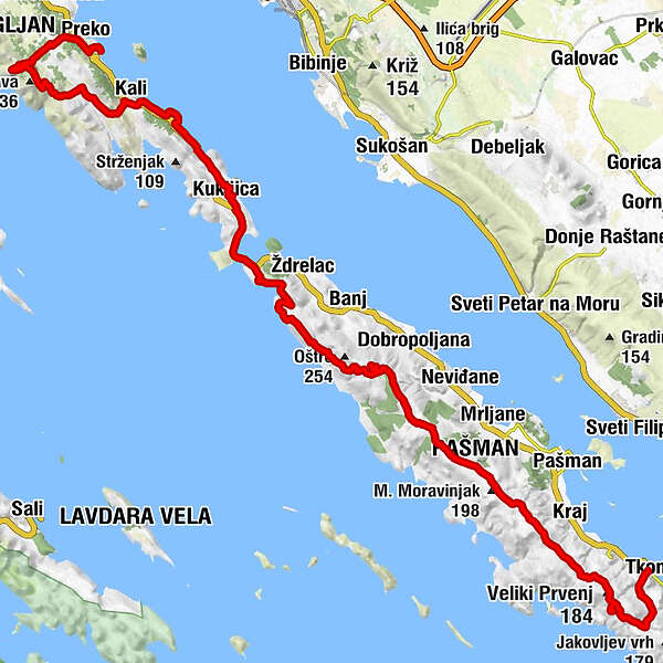
- Route
-
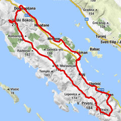
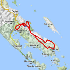
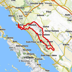
Crkva sv. Ante0.0 kmTuconio0.1 kmStraža (170 m)4.3 kmVeliki Prvenj (184 m)5.1 kmStaniševac (174 m)15.6 kmVeliki Bokolj (274 m)17.6 kmGladuša26.3 kmŽdrelašćica26.6 kmKukljica29.7 kmSrdela Snack - Fischbistro34.7 kmKali35.4 kmPescatore35.6 kmSveti Mihovil (265 m)41.6 kmOltre44.8 km
- Best season
-
JanFebMarAprMayJunJulAugSepOctNovDec
- Description
-
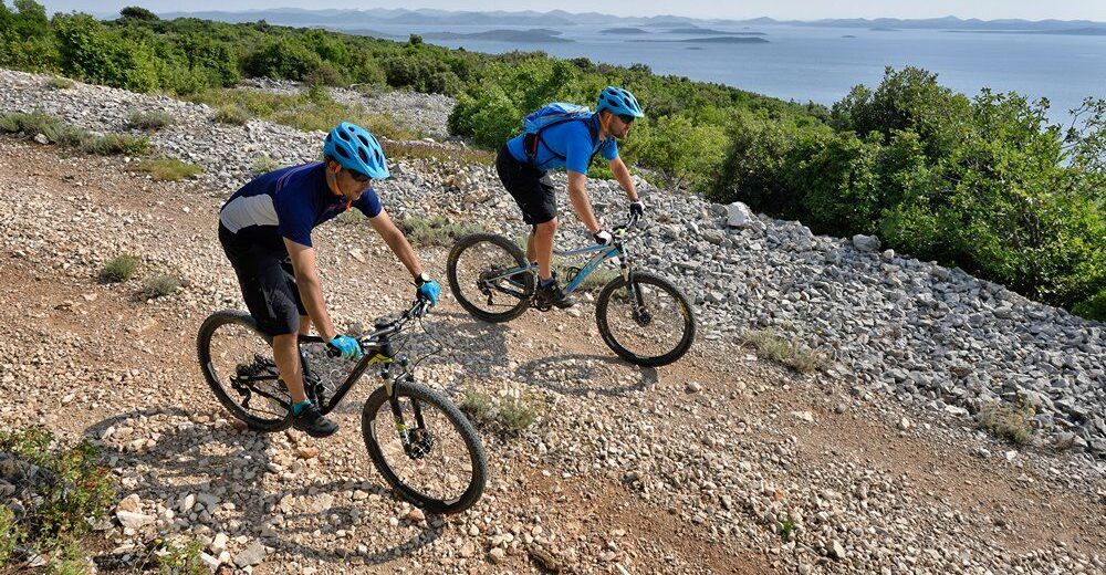
Trail through islands of Pašman and Ugljan is intended for riders of moderate physical condition which do not mind rougher macadam. It starts in Tkon and leads to the top of Pašman, and continues over the Ždrelac to the neighbouring Ugljan. The highest island peaks Bokolj and Mihovil offer beautiful views of Zadar and its archipelago. Note that the trail has many bumps and short descents and ascents, and bring enough liquids because the whole trail is in the sun.
- Highest point
- 257 m
- Endpoint
-
Tkon
- Height profile
-
 © outdooractive.com

- Author
-
The tour Pašman 4 is used by outdooractive.com provided.
GPS Downloads


General info
Fauna
A lot of view
Other tours in the regions
-
Insel Pašman
29
-
Bibinje
17