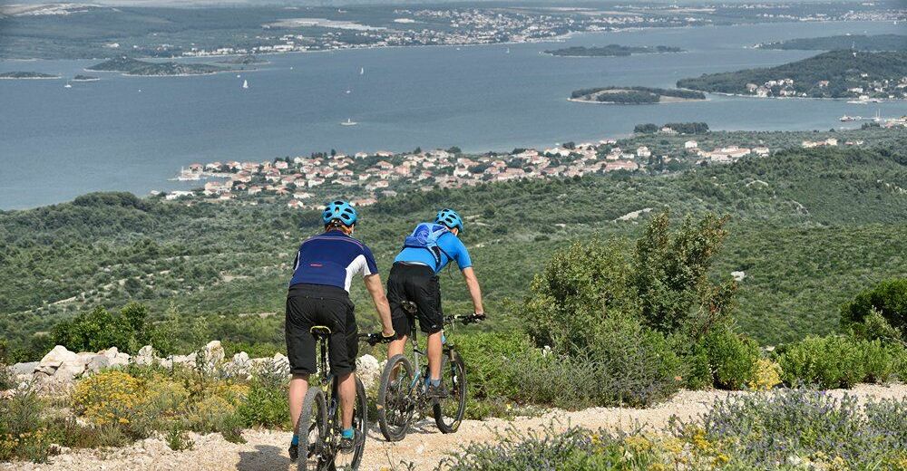
© Zadar Region Tourist Board - Vedran Metelko

- Difficulty
-
medium
- Rating
-
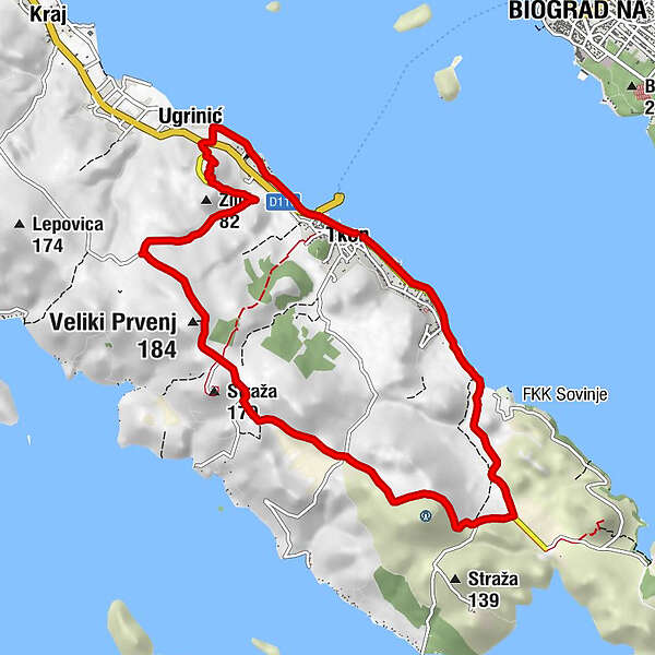
- Starting point
-
Tkon
- Route
-
TuconioVeliki Prvenj (184 m)6.8 kmUgrinić9.7 kmTuconio11.2 kmCrkva sv. Ante11.3 km
- Best season
-
JanFebMarAprMayJunJulAugSepOctNovDec
- Description
-
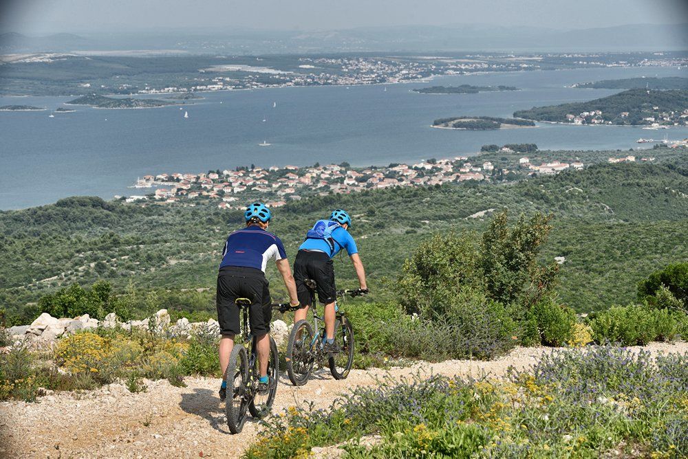
Although it might seem short, the trail on the top of the island with a panoramic view of its southern part and the town of Biograd is extremely attractive, with olive groves, vineyards, fields, karst and landscape. MTB riders in basic physical condition who do not mind technically moderate trails and rougher macadam will surely enjoy it. Trail can be used for recreation or training, and end with freshening up on some of the many beaches.
- Highest point
- 154 m
- Endpoint
-
Tkon
- Height profile
-
 © outdooractive.com
- Author
-
The tour Pašman 1 is used by outdooractive.com provided.
GPS Downloads


General info
Fauna
A lot of view
Other tours in the regions
-
Insel Pašman
29
-
Biograd na Moru
10