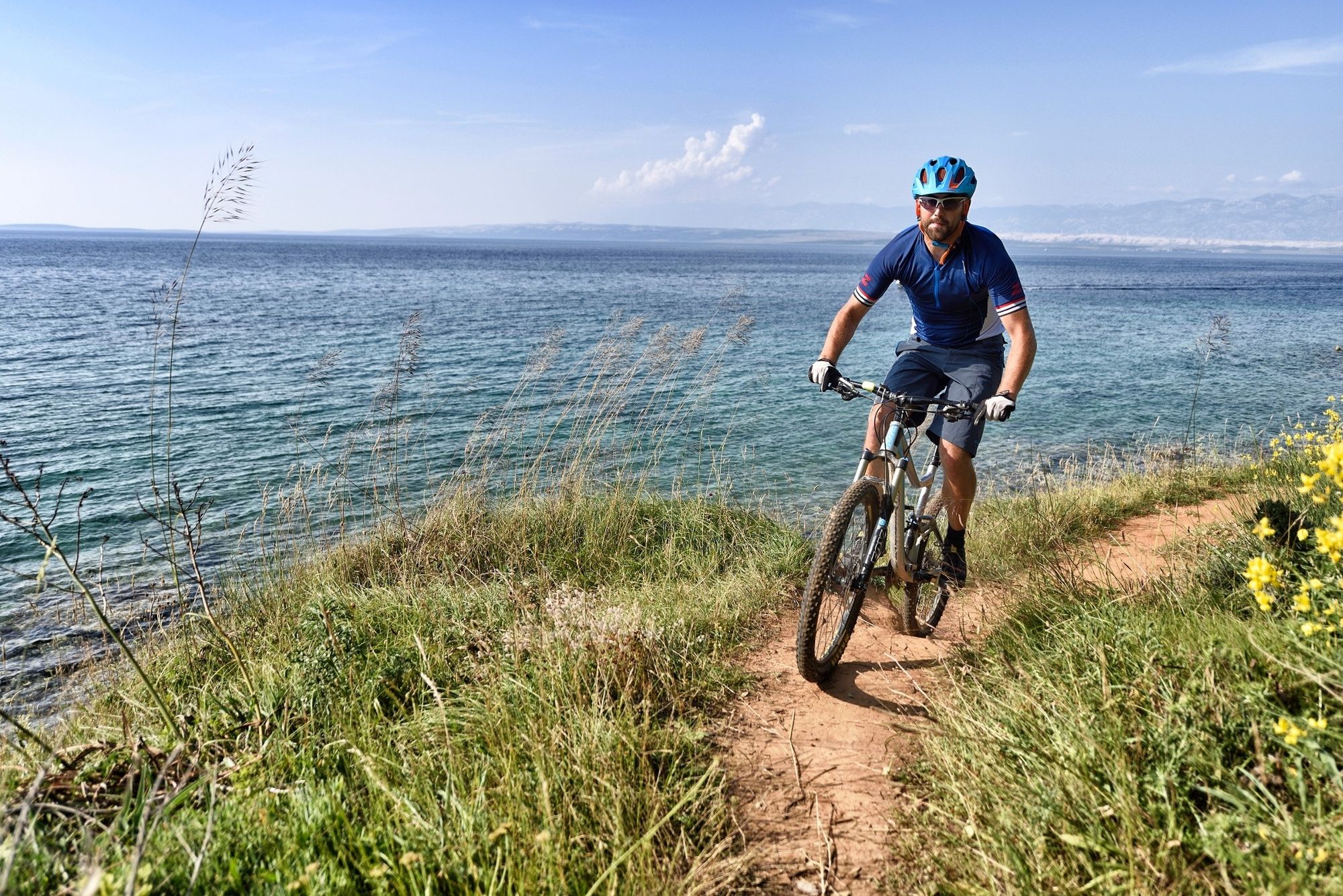
© Zadar Region Tourist Board - Vedran Metelko

- Difficulty
-
medium
- Rating
-
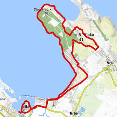
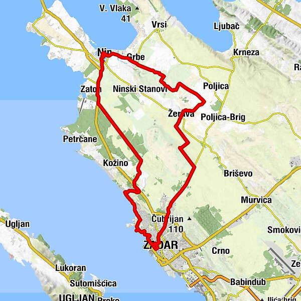
- Starting point
-
Nin
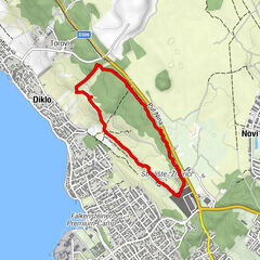
- Route
-
NonaPfarrkirche St. Anselmus0.1 kmSv. Marcele0.1 kmBistro & Caffe Bar Marinero3.2 kmZaton3.4 kmTorovi13.8 kmTaverna Diklo14.7 kmDiklo15.1 kmBar & Restaurant Delfin15.5 kmMarinero15.5 kmRestoran Marinero15.5 kmcrkva Presvetog Srca Isusova21.0 kmZara21.2 kmCeraria21.4 kmSpada22.9 kmMaslina23.0 kmPizzeria Maslina23.3 kmVidikovac24.1 kmSveti Ante24.3 kmFigurca24.4 kmBoccagnazzo25.0 kmŽerava33.4 kmGrbe43.0 kmSv. Ambroza45.1 kmNona45.5 km
- Best season
-
JanFebMarAprMayJunJulAugSepOctNovDec
- Description
-
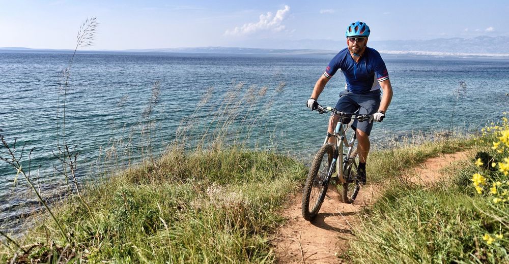
This dynamic trail which connects two Croatian royal towns, Nin and Zadar, is intended for MTB riders who are looking for moderately demanding terrains which include the sightseeing of Zadar. The trail can be used as a recreational ride for sightseeing or as a training for an amateur athlete. After Zadar’s unique attractions, the ride back will take you through the local fields and olives with a view of the old town of Nin and the Velebit mountain.
- Highest point
- 74 m
- Endpoint
-
Nin
- Height profile
-
 © outdooractive.com
- Author
-
The tour Nin 6 is used by outdooractive.com provided.
GPS Downloads


General info
Fauna
A lot of view
Other tours in the regions
-
Region Zadar
34
-
Zadar
20