Vodice - Murter (Via Dinarica day 214) | Blue Trail in Croatia


- Brief description
- Difficulty
-
easy
- Rating
-
- Route
-
grill Popaj2.4 kmSrima2.9 kmLovetovo3.9 kmVruje5.2 kmMale Vruje6.4 kmVodizze6.5 kmDulcin6.7 kmTrebocconi10.1 kmBlažene djevice Marije10.4 kmSovlje11.7 km
- Best season
-
JanFebMarAprMayJunJulAugSepOctNovDec
- Description
-
TRAILNOTES: Via Blue Green Trail in Croatia
- Highest point
- 42 m
- Height profile
-
 © outdooractive.com
 - Equipment
-
GPS
waterfilter - Safety instructions
-
Mind the strong Bura wind, especially in winter and pay attention to:
ticks scorpions Black Widow spiders Nose-horned Viper wild animals (bear, wolf, lynx, wild boar) heat - Tips
-
Be creative, don't blindly follow the official Blue Trail or my track, but look on the map and combine the different tracks and trails.
When you're planning to hike the entire Via Dinarica Blue Trail, keep in mind that this is a trail in development. It is not officially open yet. This means that the official GPX track is not always accurate and the signposts and markations are sometimes old or not existing. The route I hiked tries to follow the Blue Trail as much as possible, but I also looked at the Via Adriatica Trail, made detours and of course I sometimes had to take an alternate route due to the weather.
Croatian Long Distance Trail https://viaadriatica.org/en/ Official Via Dinarica Blue TrailCicerone: Hiking along the islands of Croatia
EVA's Blue Trail - Additional information


-

-
AuthorThe tour Vodice - Murter (Via Dinarica day 214) | Blue Trail in Croatia is used by outdooractive.com provided.


-
Insel Murter
15
-
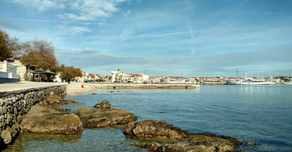
Tribunj
7