
- Brief description
-
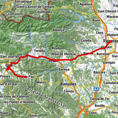
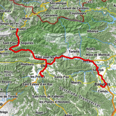
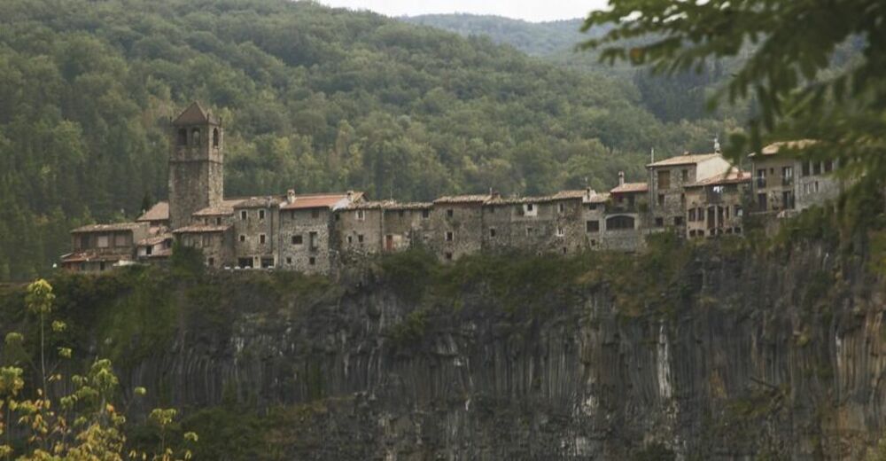
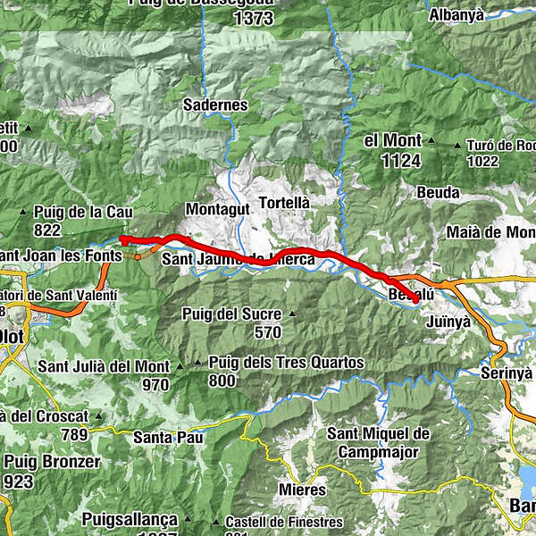
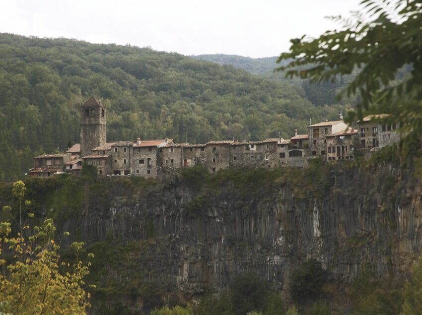
Besalú-Castellfollit de la Roca
- Route
-
Església de Santa Fe0.0 kmBesalú (168 m)0.3 kmArgelaguer (178 m)5.3 kmSant Jaume de Llierca (202 m)8.2 kmPla de Poliger10.0 kmCastellfollit de la Roca (281 m)13.7 km
- Highest point
- 303 m
- Endpoint
-
Castellfollit de la Roca
- Height profile
-
 © outdooractive.com
-

-
AuthorThe tour Tour 11: Besalú-Castellfollit de la Roca: Tag 2 is used by outdooractive.com provided.