© Walter Laschober

© RMB - Walter Laschober

© Walter Laschober

- Difficulty
-
easy
- Rating
-
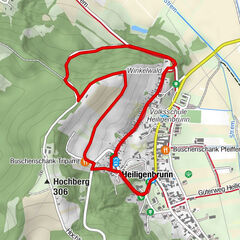
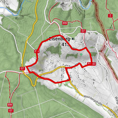
- Route
-
Sankt Kathrein im Burgenland0.0 km
- Best season
-
JanFebMarAprMayJunJulAugSepOctNovDec
- Highest point
- 292 m
- Endpoint
-
Feuerwehrhaus St.Kathrein
- Height profile
-


- Author
-
The tour Wandern in der Weinidylle: Rundweg St.Kathrein is used by outdooractive.com provided.
GPS Downloads


General info
Refreshment stop
A lot of view
Other tours in the regions