© Bad Tatzmannsdorf Tourismus - Victoria Baum

© Bad Tatzmannsdorf Tourismus - Regionalmarketing Bad Tatzmannsdorf/V. Baum

© Bad Tatzmannsdorf Tourismus - Regionalmarketing Bad Tatzmannsdorf/V. Baum

© Bad Tatzmannsdorf Tourismus - Regionalmarketing Bad Tatzmannsdorf/V. Baum

- Brief description
-
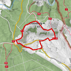
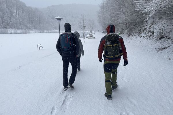
W 31 - der Wander- und Nordic Walking Weg der Lauf- und Walking Arena
- Difficulty
-
medium
- Rating
-
- Route
-
StadtschlainingGasthaus Leitner0.2 kmAltschlaining1.2 kmNeumarkt im Tauchental3.5 kmGieberling4.7 kmDrumling7.5 kmStadtschlaining9.7 km
- Best season
-
JanFebMarAprMayJunJulAugSepOctNovDec
- Highest point
- 424 m
- Endpoint
-
Stadtschlaining Gemeindezentrum
- Height profile
-


- Author
-
The tour W31 Bienenweg (Stadtschlaining) is used by outdooractive.com provided.
GPS Downloads


Other tours in the regions
-
Wiener Alpen
3048
-
Bucklige Welt - Wiener Alpen
792
-
Stadtschlaining
110