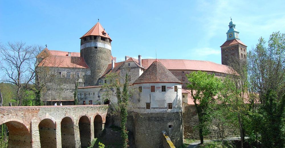
© Bad Tatzmannsdorf Tourismus - Burg Schlaining


© Bad Tatzmannsdorf Tourismus - Burg Schlaining

© Unbekannt - Dietmar Lindau

- Brief description
-
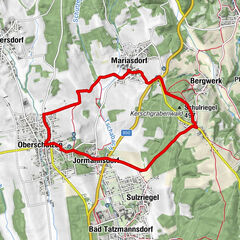
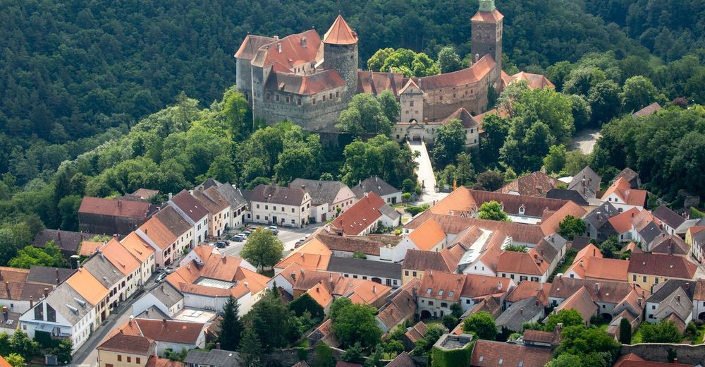
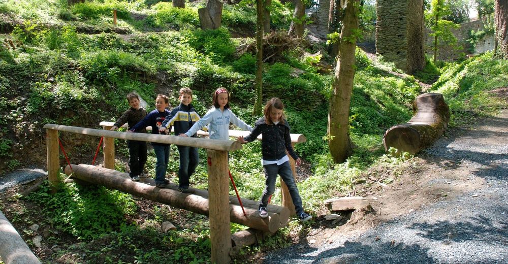
Wandern entlang des Friedensweges zur Burg Schlaining.
Erleben Sie eine gemütliche Wanderweg vom Gesundheitsort Bad Tatzmannsdorf in die Friedensstadt mit mitteralterlichem Flair.
- Difficulty
-
easy
- Rating
-
- Route
-
Bad TatzmannsdorfStadtschlaining4.7 kmEvang. Pfarrkirche A.B.4.7 km
- Best season
-
JanFebMarAprMayJunJulAugSepOctNovDec
- Highest point
- 437 m
- Endpoint
-
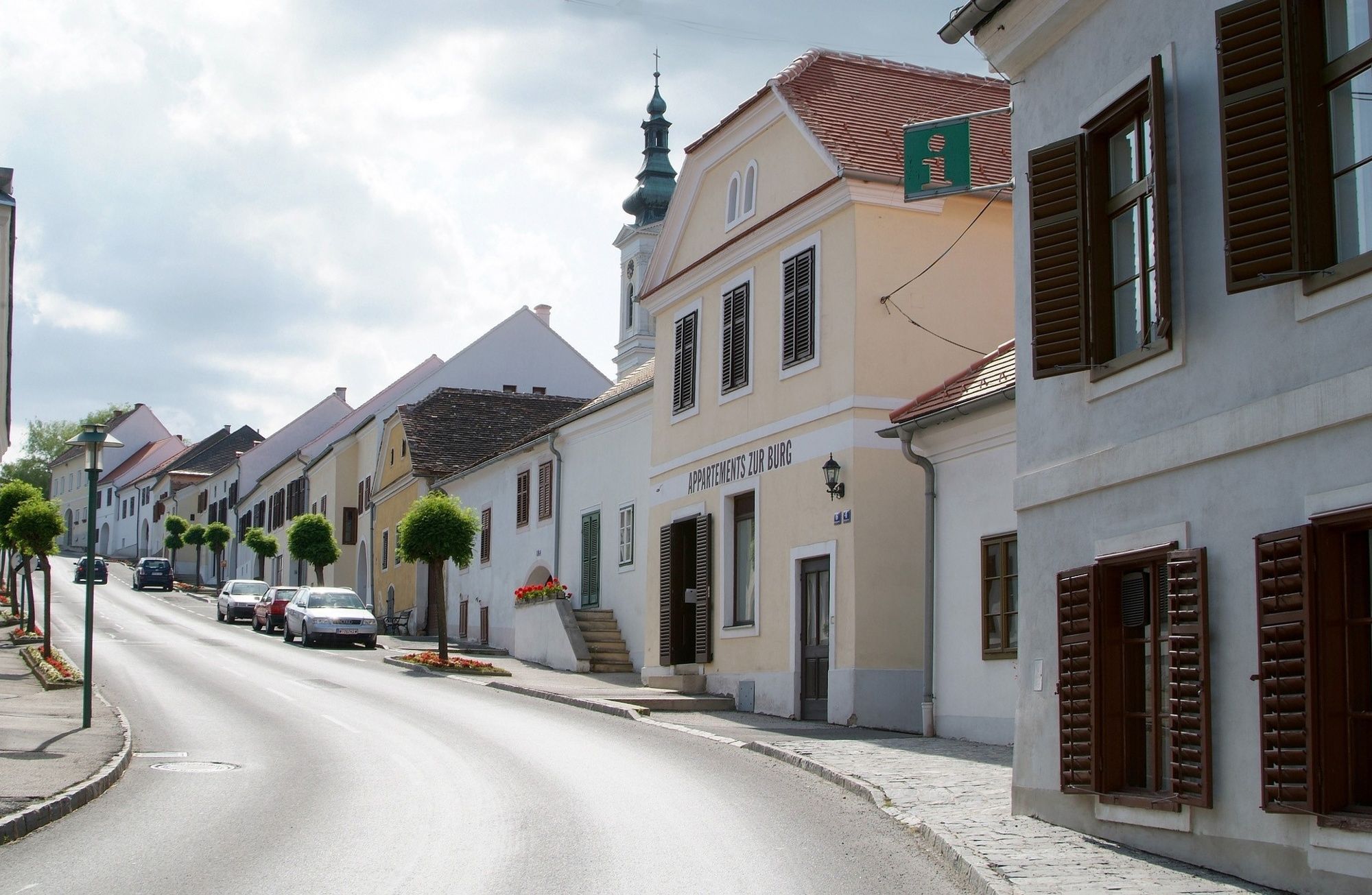
Stadtschlaining -Burg
- Height profile
-


- Author
-
The tour W11 Friedensweg (von Bad Tatzmannsdorf nach Stadtschlaining) is used by outdooractive.com provided.
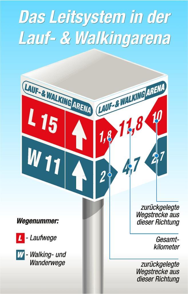
GPS Downloads


General info
Cultural/Historical
A lot of view
Other tours in the regions