© Gerold Bauer

© Gerold Bauer

© Gerold Bauer

© Gerold Bauer

© Gerold Bauer

© Gerold Bauer


Tour data
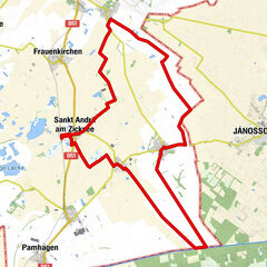
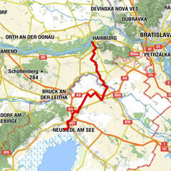
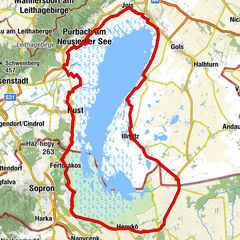
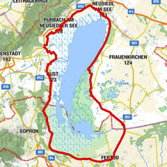
70.5km
115
- 171m
-
19hm
03:40h
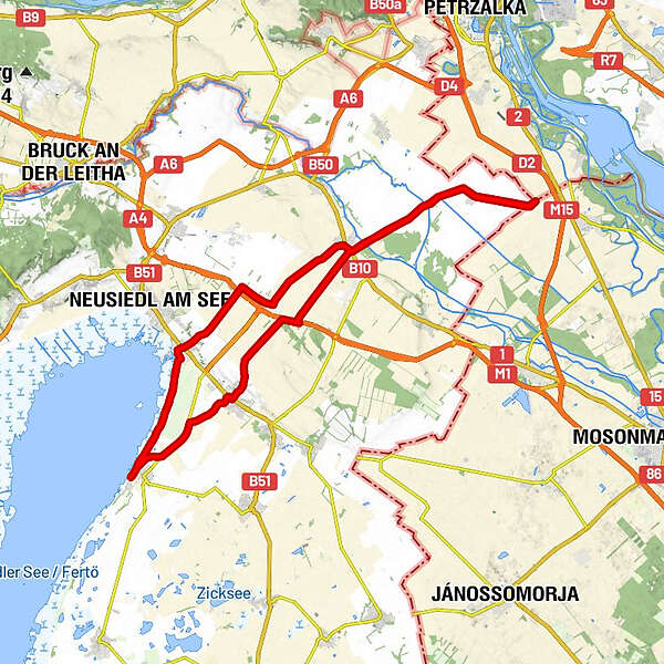
- Brief description
-
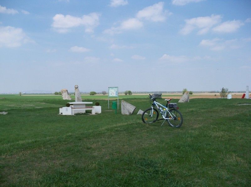
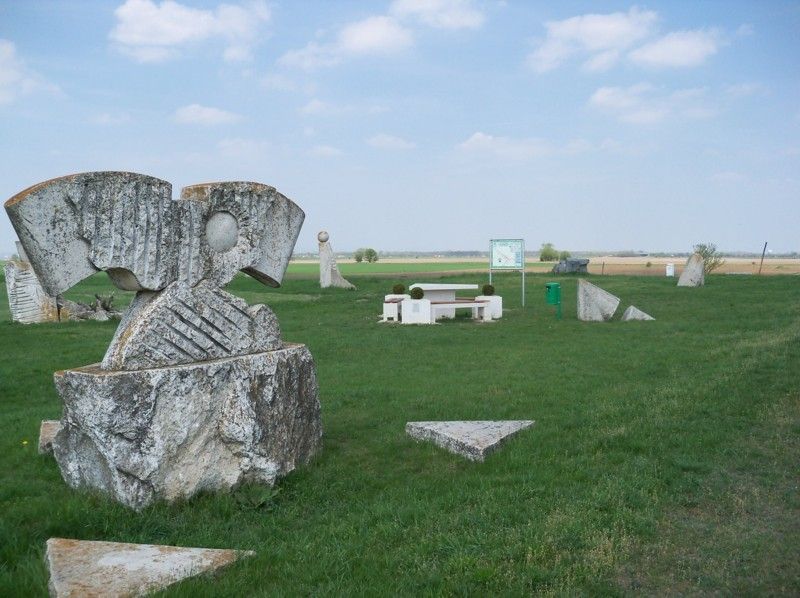
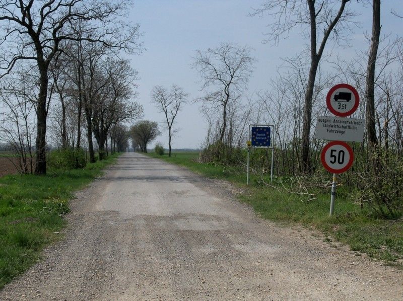
Einfache Radtour zu den Gedenksteinen am östlichsten Punkt Österreichs.
- Difficulty
-
easy
- Rating
-
- Starting point
-
Campingplatz Podersdorf
- Best season
-
JanFebMarAprMayJunJulAugSepOctNovDec
- Highest point
- 171 m
- Endpoint
-
Campingplatz Podersdorf


GPS Downloads


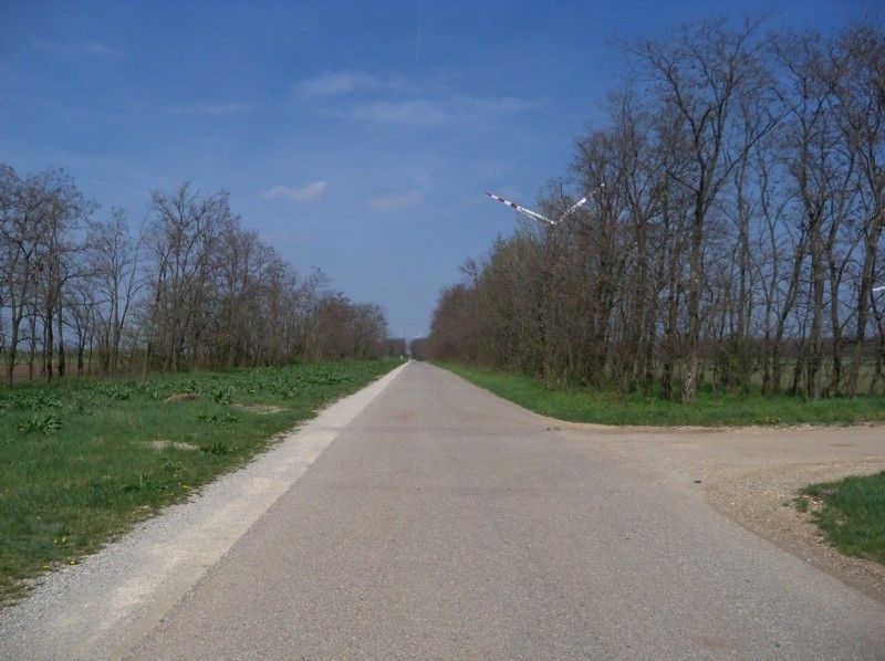
Surfaces
Asphalt
(ca 80%)
Gravel
Forest
Mountain paths
Single trails
Trial
Traffic
(wenig)
Other tours in the regions
-
Neusiedler See
64
-
Zurndorf
15