© www.fahr-radwege.com

© www.fahr-radwege.com

© www.fahr-radwege.com

© www.fahr-radwege.com

© www.fahr-radwege.com
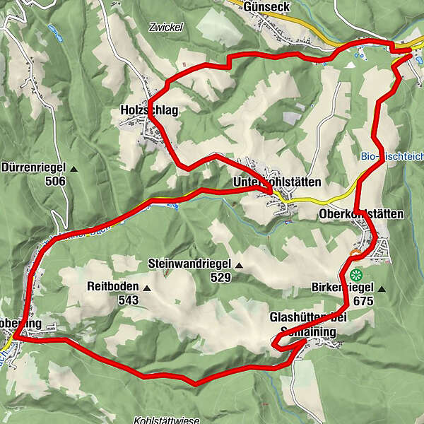
Tour data
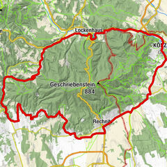
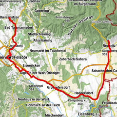
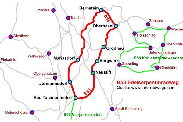
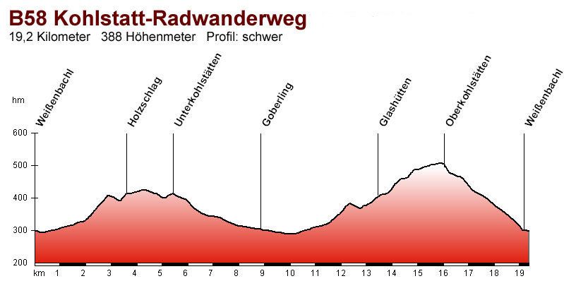
19.07km
367
- 602m
352hm
341hm
02:00h
- Difficulty
-
medium
- Rating
-
- Starting point
-
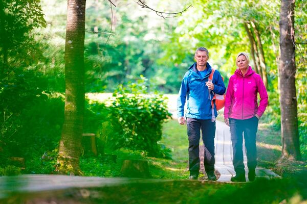
Weißenbachl
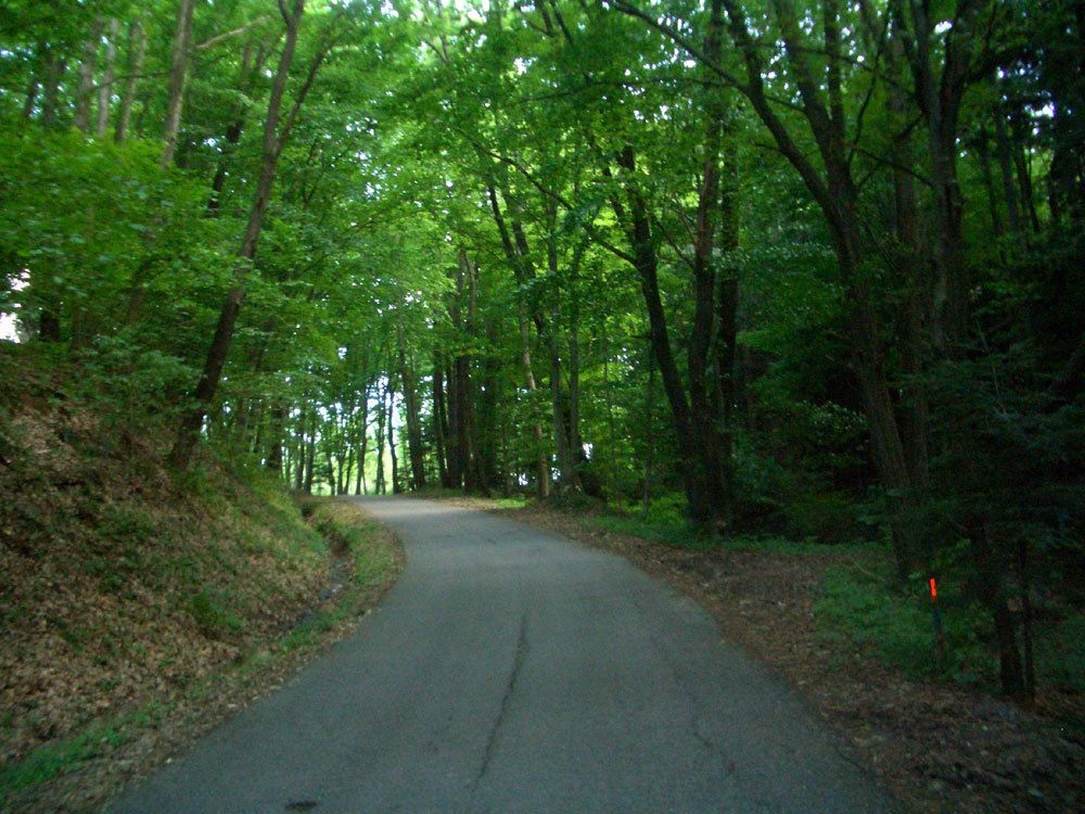
- Route
-
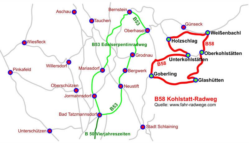
Gasthof Kappel0.0 kmWeißenbachl0.0 kmGünseck1.9 kmHolzschlag3.7 kmUnterkohlstätten5.6 kmGasthaus Heidinger9.3 kmGoberling (385 m)9.6 kmGasthaus Pleyer9.8 kmGlashütten bei Schlaining13.5 kmOberkohlstätten16.4 kmWeißenbachl18.9 km
- Best season
-
JanFebMarAprMayJunJulAugSepOctNovDec
- Highest point
- 602 m
- Endpoint
-
Weißenbachl
- Ticket material
GPS Downloads


Surfaces
Asphalt
Gravel
Forest
Mountain paths
Single trails
Trial
Traffic
Other tours in the regions