Tour data
73.51km
322
- 439m
572hm
572hm
03:10h
- Brief description
-
Rundstrecke durch die Weinidylle im Südburgenland
- Difficulty
-
easy
- Rating
-
- Starting point
-
Olbendorf
- Route
-
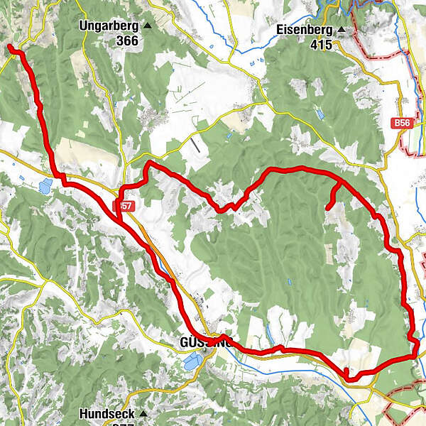
Olbendorf0.8 kmMarx’sche Häuser3.7 kmRauchwart im Burgenland7.2 kmPfarrkirche Hl. Michael13.0 kmGasthof - "Zum Storch"13.1 kmSankt Michael im Burgenland13.2 kmMichaeler Berghäuser15.8 kmRuisenberg16.7 kmOberbergen17.3 kmPagelberg19.6 kmPunitz21.0 kmFilialkirche hl. Sebastian21.0 kmWintner Bergkapelle33.7 kmKulm im Burgenland35.4 kmWeinek36.0 kmGaaser Bergen38.5 kmMaria Weinberg39.1 kmPfarrkirche hl. Antonius von Padua44.9 kmStrem45.1 kmGasthof Legath45.5 kmGasthaus Kedl49.0 kmUrbersdorf (218 m)49.6 kmFilialkirche zur seligsten Jungfrau Maria49.6 kmPizzeria Giovanni53.8 kmGasthaus zur Burg53.8 kmGüssing (229 m)53.9 kmTobaj57.9 kmRauchwart im Burgenland65.9 kmMarx’sche Häuser69.8 kmOlbendorf72.4 km
- Best season
-
JanFebMarAprMayJunJulAugSepOctNovDec
- Highest point
- Oberbergen (439 m)
- Endpoint
-
Maria Weinberg
- Source
- Martin Scholz
GPS Downloads


Surfaces
Asphalt
Gravel
Forest
Mountain paths
Single trails
Trial
Traffic
Other tours in the regions
-
Thermen- & Vulkanland
344
-
Südburgenland
127
-
Tobaj
32