© Tourismusverband Nordburgenland - Velontour_Nordburgenland_©velontour


- Brief description
-
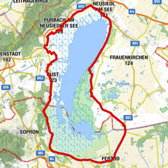
23 km, Dieser Radweg verbindet den B10 Neusiedler See Radwanderweg mit dem B30 Koglweg.
- Difficulty
-
medium
- Rating
-
- Route
-
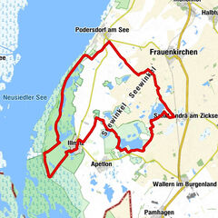
Mörbisch am See (122 m)0.0 kmKlingenbach11.2 kmWegkapelle Zur Ehren der Kreuzauffindung14.5 kmBaumgarten15.7 km
- Best season
-
JanFebMarAprMayJunJulAugSepOctNovDec
- Highest point
- 272 m
- Endpoint
-
Baumgarten im Burgenland
- Height profile
-


- Author
-
The tour Verbindung von Mörbisch am See - Koglweg (B31) is used by outdooractive.com provided.
GPS Downloads


Other tours in the regions
-
Wiener Alpen
225
-
Neusiedler See
64
-
Klingenbach
34