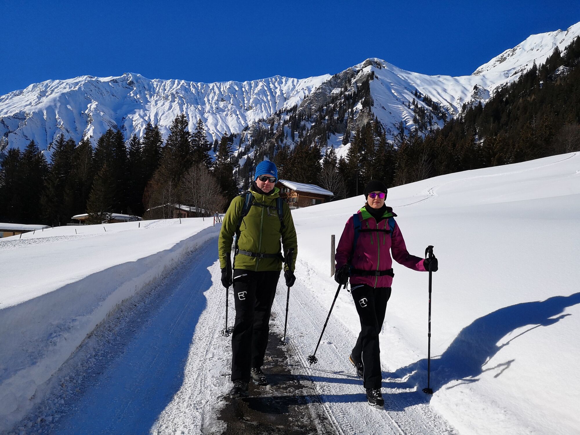
© Tourismus Adelboden-Lenk-Kandersteg - Larissa Huggler

© Tourismus Adelboden-Lenk-Kandersteg - Larissa Huggler

- Brief description
-
Beautiful winter hike with great views over the Fluhweide to Schermtann.
- Difficulty
-
medium
- Rating
-
- Route
-
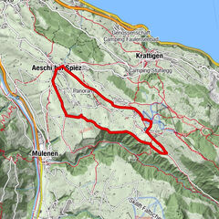
Dorfkirche0.1 kmAdelboden (1,350 m)0.1 kmEggegüetli2.9 kmStiegelschwand-Eggen2.9 kmChraji3.7 km
- Best season
-
AugSepOctNovDecJanFebMarAprMayJunJul
- Highest point
- 1,606 m
- Endpoint
-
Schermtanne
- Height profile
-
 © outdooractive.com
 - Tips
-
One image, one clip, one comment - excursions to the Bernese Oberland also leave footprints on our social media channels. Active lovers of the great outdoors are sharing more and more alpine impressions on Instagram and Facebook.

-

-
AuthorThe tour Winter Hiking Trail Adelboden - Fluhweid - Schermtanne is used by outdooractive.com provided.
GPS Downloads


General info
Refreshment stop
Insider tip
A lot of view
Other tours in the regions
-
Oberwallis
301
-
Adelboden
174
-
Frutigen
68