
© Outdooractive – 3D Videos
- Brief description
-
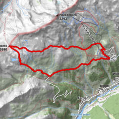
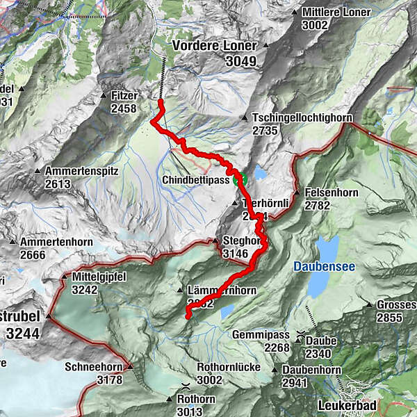
Ascent via Märbenen-Dossen to the Chindbetti Pass, via the Rote Totz to the Lämmeren Hut.
- Difficulty
-
difficult
- Rating
-
- Starting point
-
Station de montagne de l'Engstligenalp
- Route
-
Engstligenalp0.3 kmRote Totz (2,848 m)6.7 kmRote Totz Lücke7.5 kmLämmerenhütte9.8 km
- Best season
-
JanFebMarAprMayJunJulAugSepOctNovDec
- Highest point
- 2,805 m
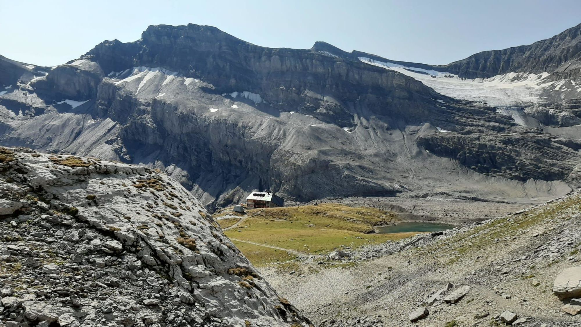
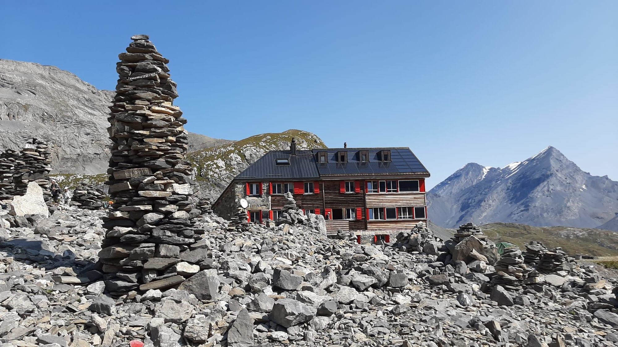
- Endpoint
-
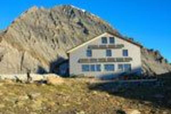
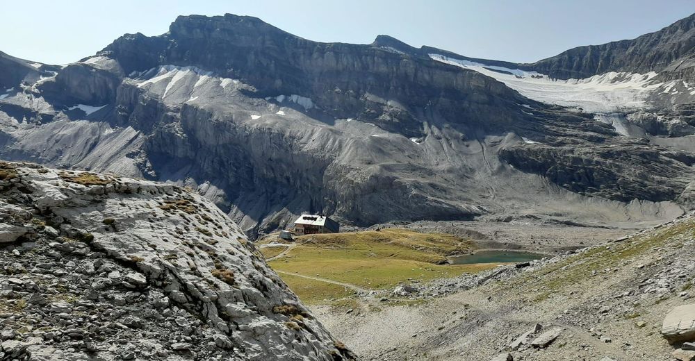
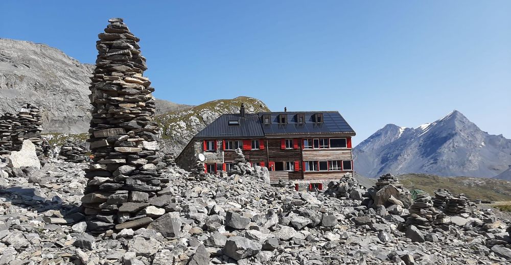
Lämmerenhütte
- Height profile
-
 © outdooractive.com
 - Safety instructions
-
Open hiking trails may also still be partially covered with snow. Hiking is at your own risk: Tourism Adelboden-Lenk-Kandersteg accepts no liability whatsoever when using local routes.
- Directions
-
By car via Frutigen to Adelboden, Engstligenalp valley station.
- Public transportation
-
From Frutigen by bus to Adelboden, Unter dem Birg.
- Parking
-
Free parking is available at the Engstligenalp valley station.
-

-
AuthorThe tour Engstligenalp – Dossen – Chindbettipass – Lämmerenhütte is used by outdooractive.com provided.
GPS Downloads


General info
A lot of view
Other tours in the regions
-
Oberwallis
1872
-
Leuk/Leukerbad
1028
-
Leukerbad
309