- Brief description
-
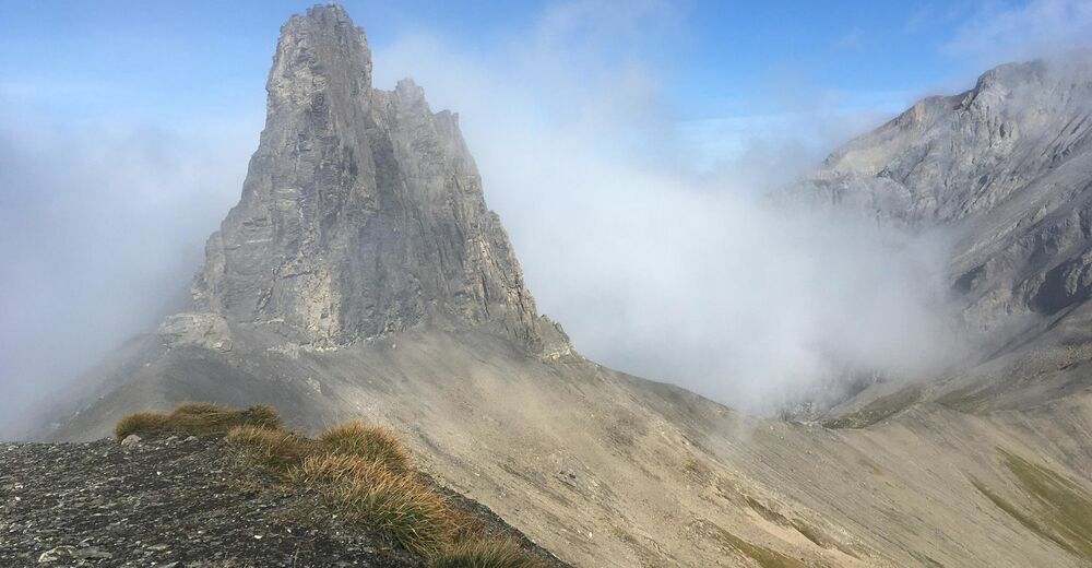
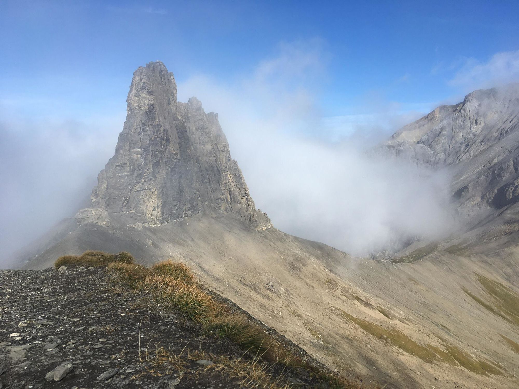
Impressive mountain trail with an easy descent to Schwarenbach.
- Difficulty
-
medium
- Rating
-
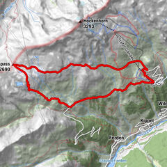
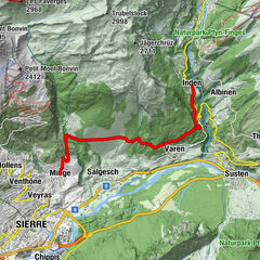
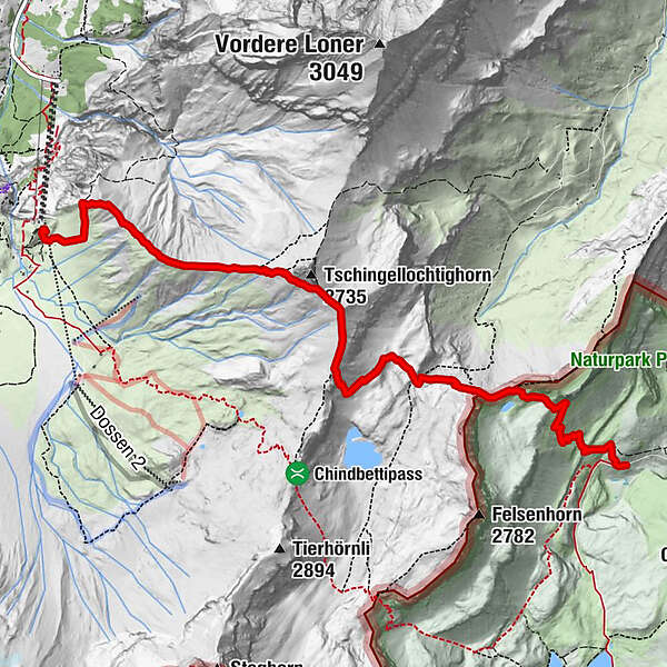
- Route
-
Engstligenalp0.1 kmSchwartzgratli5.6 kmBerghotel Schwarenbach7.5 km
- Best season
-
JanFebMarAprMayJunJulAugSepOctNovDec
- Description
-
Via Aertelengrat and Bockmatten to Tschintellochtighorn, then past Tschingellochtighorn on the right. Through cart fields and scree slopes to Schwarzgrätli, point 2383, and over the grassy slopes of Tschalmeten down to Schwarenbach. A high trail leads on the west side of the Ueschinen ridge to Stock-Kandersteg.
- Highest point
- 2,652 m
- Endpoint
-
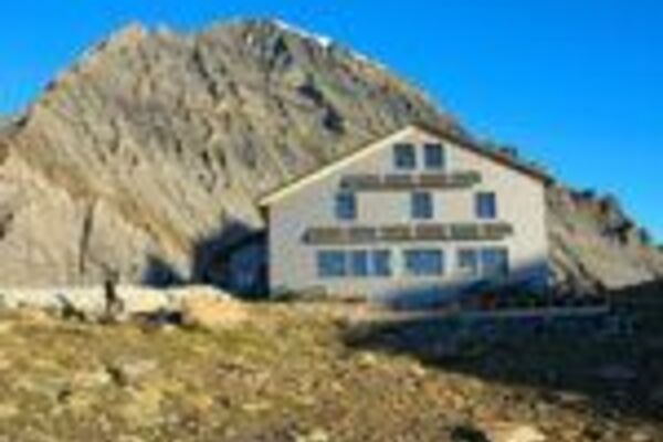
Schwarenbach
- Height profile
-
 © outdooractive.com
 - Directions
-
By car via Frutigen to Adelboden, Engstligenalp valley station.
- Public transportation
-
From Frutigen by bus to Adelboden, Unter dem Birg.
- Parking
-
Free parking is available at the Engstligenalp valley station.
-

-
AuthorThe tour Engstligenalp – Ärtelengrat – Schwarzgrätli – Schwarenbach is used by outdooractive.com provided.
GPS Downloads


General info
Refreshment stop
A lot of view
Other tours in the regions
-
Oberwallis
1872
-
Adelboden
987
-
Leukerbad
309