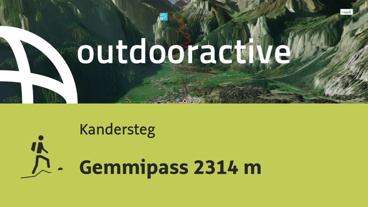
- Brief description
-
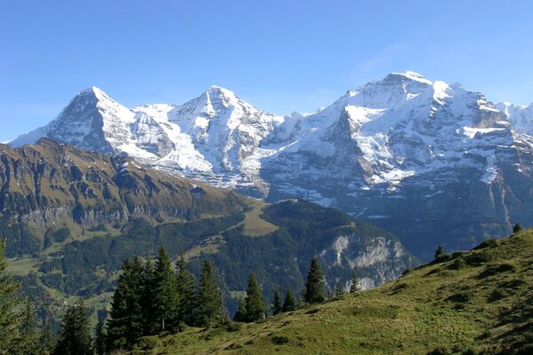
Apart from the steep descent from the level of the Gemmi Pass to Leukerbad, the hiking tour is extremely pleasant and relatively easy. This is thanks to the wonderful Alpine mountain scenery and impressive views of the distant Alpine mountains in the Valais and amazing vistas from the viewing platform at Gemmi Pass down into the valley towards Leukerbad. Bathing in the warm springs at Leukerbad will soon cure any fatigue.
- Difficulty
-
medium
- Rating
-
- Starting point
-
Kandersteg rail way station
- Route
-
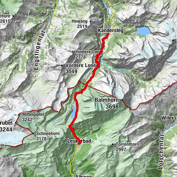
Kandersteg (1,176 m)Stock (1,832 m)6.0 kmBerghotel Schwarenbach11.0 kmGemmipass (2,268 m)15.9 kmKirche Maria Hilf20.2 kmLoèche-lès-Bains (1,402 m)20.4 km
- Best season
-
JanFebMarAprMayJunJulAugSepOctNovDec
- Description
-
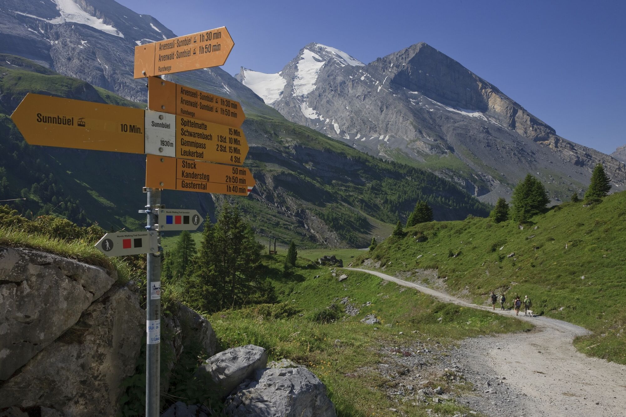
From Kandersteg railway station stay on the village side and continue along the embankment. After 5 minutes the small paved road crosses to the other side of the embankment. Return to the river Kander and continue along the picturesque hiking route between the riverbank and edge of the woodland. Continue past the Scout Centre to Chäsmilch bridge and stay on the pavement as far as Eggeschwand and Sunnbüel cable car base station. This is where the alternative route 1 heads off in a different direction. From Eggeschwand first continue along the road, then to the wide Gemmiweg for the climb through the winding Valais curves to Stock and the gentle climb to the expansive area of Spittelmatte where the alternative and the main route meet. At the last larch tree, slightly above the cantonal border of Bern and Valais, the route begins to climb and reaches Hotel Schwarenbach via a side valley. The hotel dates back to an inn built in 1742. Continue on the relatively easy ascent through the upper Alpine valley and on a slightly steeper incline over Seestutz to Daubensee . From the end of the lake it is only a short ascent past the rock overhang up to the hotel on a level with the Gemmi Pass. A wonderful surprise is the glorious view of the highest mountain peaks in canton Valais from Mischabel over the Weisshorn, Zinalrothorn, Matterhorn and Dent Blanche as far as Mont Collon. From the hotel’s slightly elevated position the trapezoid, filigree structure of the viewing platform projects about ten metres over the rock face. The 20-square metre gallery accommodates about a dozen visitors. Walking onto the platform certainly takes a bit of courage. The walkway comprises a metal grid through which visitors can look down 250 metres. Those who dare to step onto the platform are rewarded with a stunning view into the distance and down the mountain. From here you can see about 900 metres across the valley as far as Leukerbad. The descent over the steep face of the Gemmi is quick with a steep winding route down the mountain to the popular spa town of Leukerbad.
Alternative route 1:
With the local bus from the railway station to Eggenschwand - Sunnbüel by cable car. 4 hours.Alternative route 2:
With the local bus from the railway station to Eggenschwand - Sunnbüel by cable car, at the level of the Gemmi Pass - Leukerbad by cable car. 2 1/2 hours.Gastronomy Bergrestaurant Sunnbüel, Berghotel Schwarenbach, Gemmipass
Cable cars: Sunnbüel cable car Gemmi
- Directions
-
Bahnhof Kandersteg - Eggeschwand - Stock - Spittelmatte - Schwarenbach - Gemmipass
- Highest point
- 2,317 m
- Endpoint
-
Gemmipass
- Height profile
-
 © outdooractive.com
 - Equipment
-
No need for heavy shoes here: this easy hike is well marked and secured in yellow or red and white. Of course, it can also be steep at times - but numerous mountain restaurants await you along the way.
- Safety instructions
-
Even open hiking trails may still be partially covered with snow. Hiking is at your own risk: Tourism Adelboden-Lenk-Kandersteg accepts no liability whatsoever when using local routes.
- Tips
-
Nature and culture accompany every tour - but which alpine topics are currently topical in the destination Adelboden-Lenk-Kandersteg? If you subscribe to our newsletter, you'll know what's going on along the way.
- Directions
- Public transportation
-
To the south the Lötschberg, to the north the Kandertal: for this station between Brig (38 min.) and Bern (61 min.) there is an hourly train service - an ideal base for many excursions.
The AFA bus runs every hour within 10 minutes from Kandersteg station to the valley station of the Sunnbüel cable car. The gondola then takes you comfortably up to 1936 metres above sea level.
- Parking
-

-
AuthorThe tour Gemmipass 2314 m is used by outdooractive.com provided.
General info
-
Oberwallis
1887
-
Leuk/Leukerbad
1029
-
Kandersteg - Sunnbüel
298