


- Brief description
-
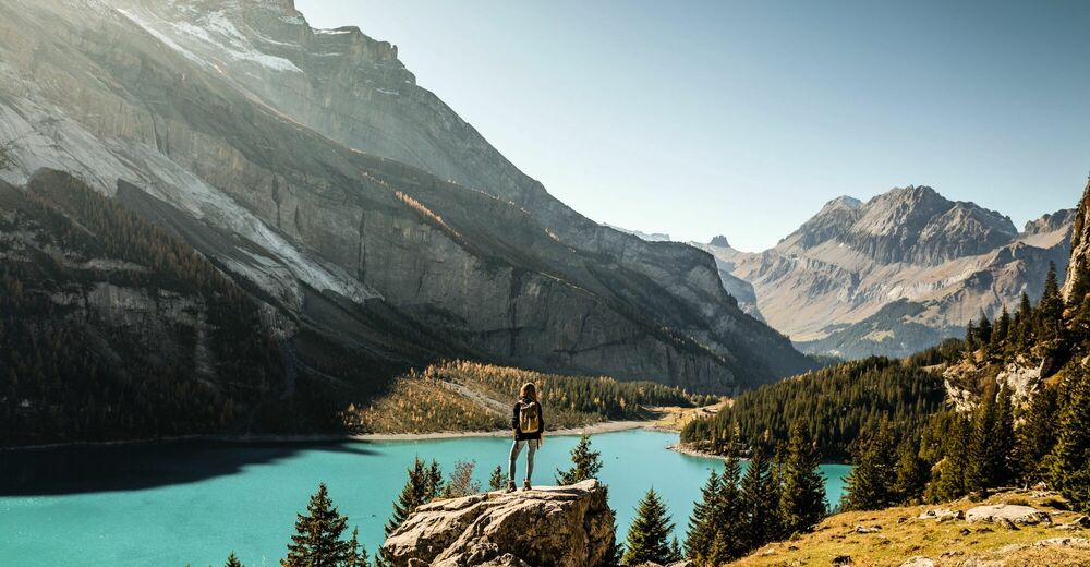
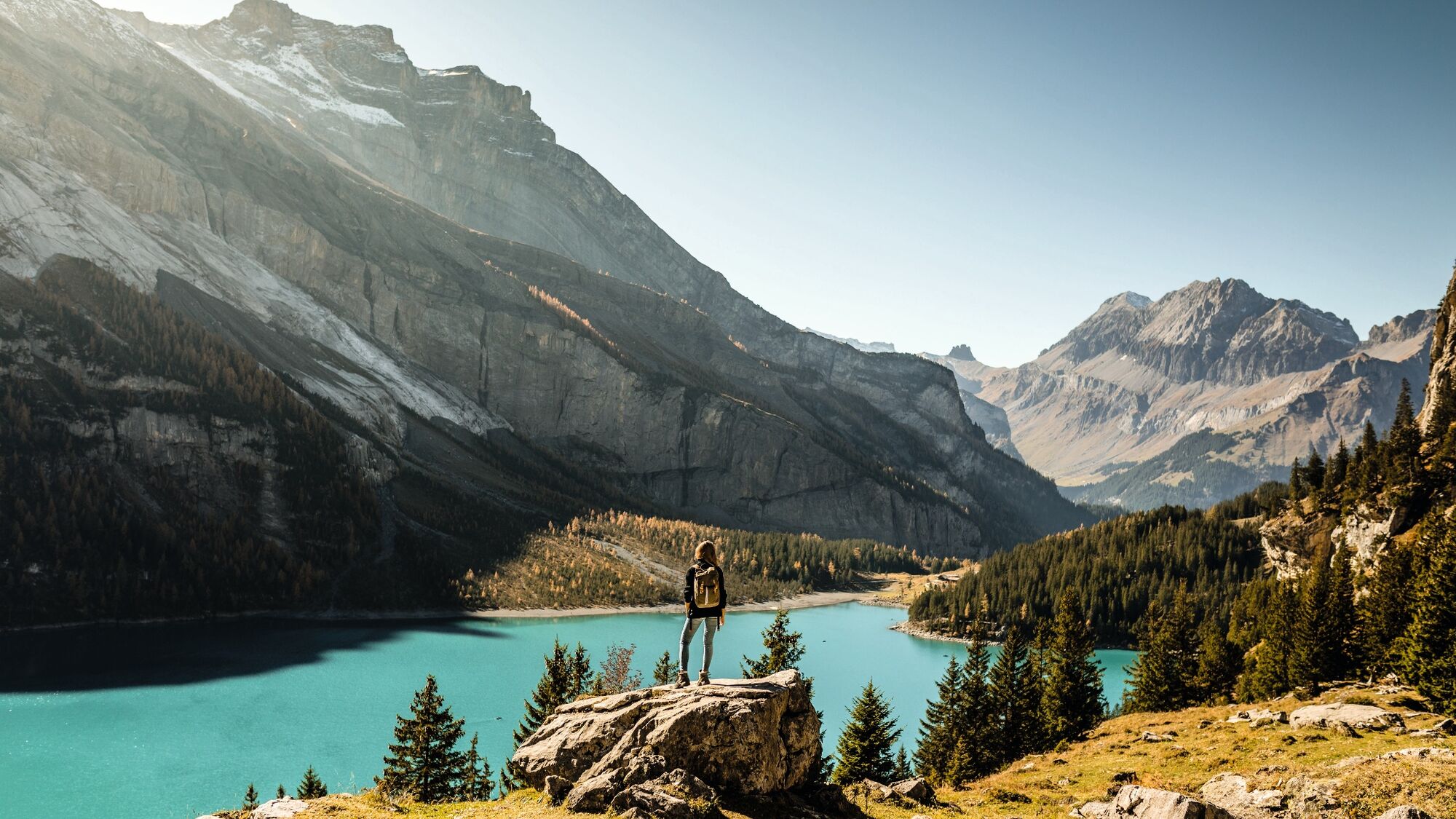
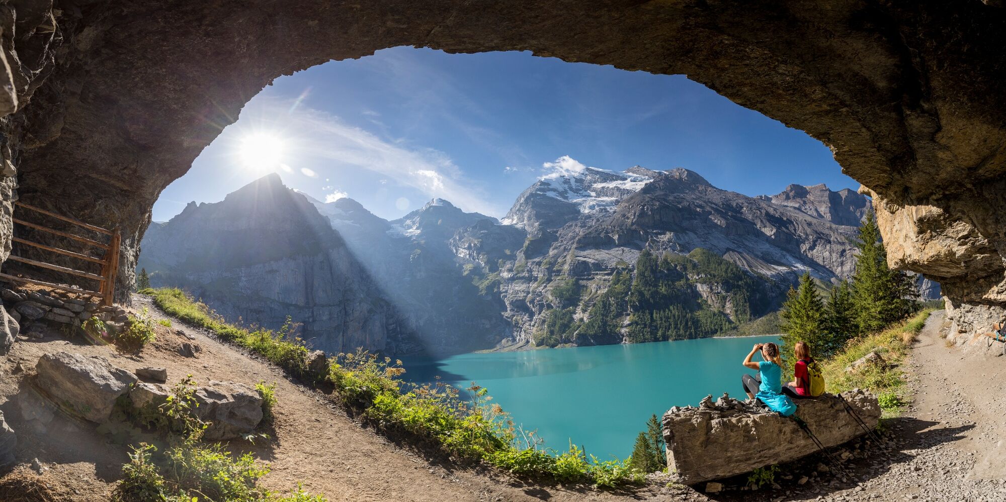
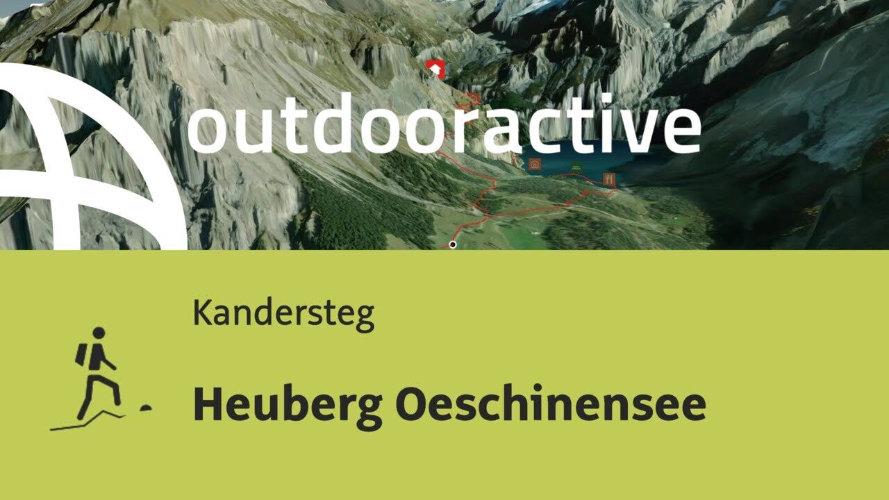
Great circular hike with a deep view of Lake Oeschinen and unique views of the Blüemlisalp and Doldenhorn groups.
- Difficulty
-
medium
- Rating
-
- Starting point
-
Mountain station Oeschinen
- Route
-
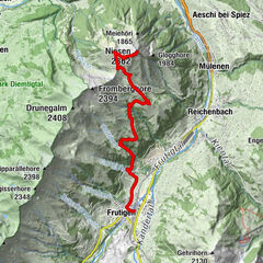
Restaurant Bergstübli0.0 kmOberbärgli4.0 kmBerghaus Oeschinensee6.5 kmBerghotel Oeschinensee6.6 kmOeschinensee6.7 kmRestaurant Bergstübli8.1 km
- Best season
-
JanFebMarAprMayJunJulAugSepOctNovDec
- Description
-
The circular trail is considered one of the most beautiful in the Bernese Oberland. A breathtaking panorama awaits you after the ascent. From up here, Lake Oeschinen shows itself in all its glory. A place to enjoy and linger before heading down over alpine meadows from Oberbärgli via Underbärgli to Lake Oeschinen. If you like, you can round off the day with a refreshing swim. With a little luck and patience, ibexes and chamois can be spotted on this round tour.
- Directions
-
Gondelbahn Oeschinen Bergstation - Läger - Heuberg - Obergärgli - Underbärgli - Oeschinensee - Gondelbahn Oeschinen Bergstation
- Highest point
- 1,986 m
- Endpoint
-
Mountain station Oeschinen
- Height profile
-
 © outdooractive.com
 - Equipment
-
The route leads past steep rock columns with occasional glimpses down the valley (unsuitable for those who experience vertigo). In May, the mountain ridges may still be covered with avalanche snow: risk of avalanches.
- Safety instructions
-
The route leads past steep rock columns with occasional glimpses down the valley (unsuitable for those who experience vertigo). In May, the mountain ridges may still be covered with avalanche snow: risk of avalanches.
Hiking is at your own risk: Tourism Adelboden-Lenk-Kandersteg accepts no liability whatsoever when using local routes.
- Tips
-
One image, one clip, one comment – excursions to the Bernese Oberland also leave footprints on our social media channels. Active lovers of the great outdoors are sharing more and more alpine impressions on Instagram and Facebook.
- Directions
-
The journey by car to your destination takes you through our beautiful village of Kandersteg. In the village centre turn left at the signpost Oeschinensee and follow the road. Large car park available at the gondola lift.
- Public transportation
-
By train to Kandersteg station. The gondola from Kandersteg to Oeschinensee is connected to public transport.
- Parking

-

-
AuthorThe tour Heuberg Oeschinensee is used by outdooractive.com provided.


General info
-
Oberwallis
1872
-
Ferienregion Kandertal
1104
-
Oeschinen - Kandersteg
255